From the Schafberg Hüsli mountain restaurant via the forest path to Gargellen


- Brief description
-
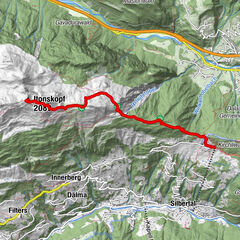
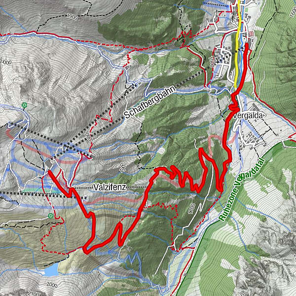
Mountain restaurant Schafberg Hüsli - Obwaldhütte - Ortsteil Vergalda - valley station cable cars Gargellen
- Difficulty
-
medium
- Rating
-
- Starting point
-
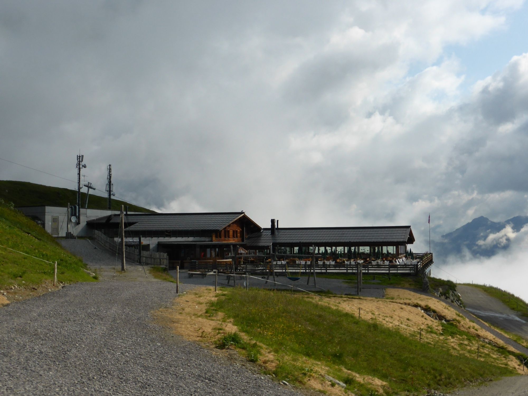
Mountain restaurant Schafberg Hüsli
- Route
-
Obwaldhütte2.0 kmVergalda5.0 km
- Best season
-
JanFebMarAprMayJunJulAugSepOctNovDec
- Description
-
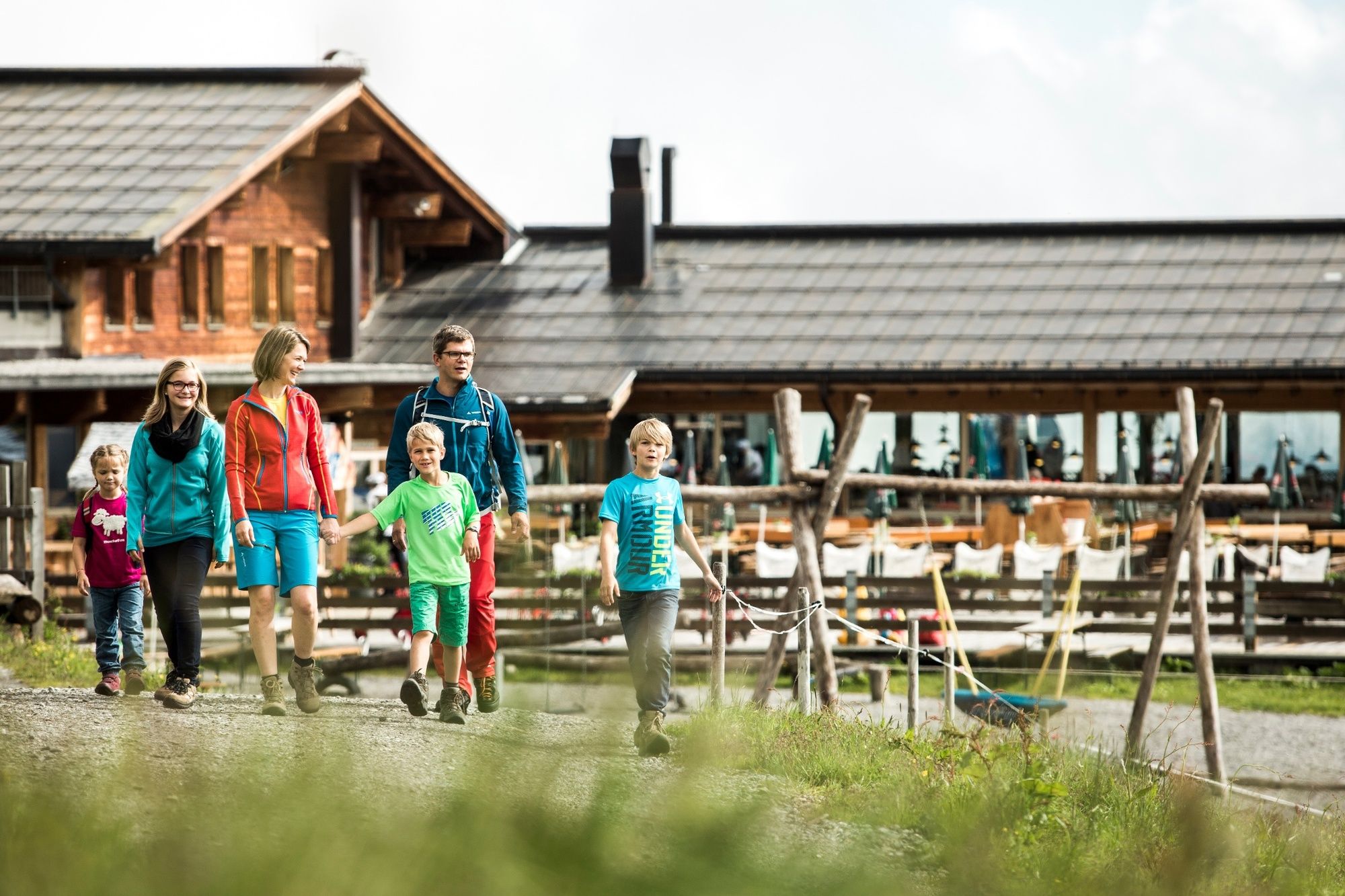
The hike along the wide forest path is also possible with a stroller. There is a rustic refreshment stop on the route. Wide gravel road all the way, sometimes a bit bumpy.
- Directions
-
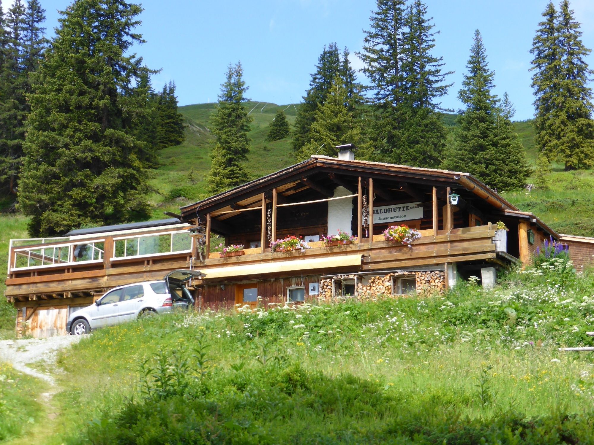
At the summit station of the Gargellen mountain cable cars at the Schafberg Hüsli mountain restaurant, the hike starts along the forest road down to Gargellen. In 35 minutes you reach, about halfway, the rustic Obwaldhütte. A stop for a bite to eat is worthwhile. On the terrace you can admire a carved wooden figure representing the wandering bear Bruno. In 2006 the Bruno bear was in the headlines every day for a while. Interesting reports on this topic can be viewed. On the way to the toilets there is even a footprint to marvel at. After a strengthening you hike the forest road further into the valley. After the hut you make in the zigzag vertical meters into the valley and touch then the local part Vergalda, which lies somewhat above the center of Gargellen. At the "Gitzistee" follow the signs to the valley station. You will reach it after about 20 minutes.
- Highest point
- 2,095 m
- Endpoint
-
Valley station cable cars Gargellen
- Height profile
-

- Equipment
-
Sturdy shoes with good souls required, walking sticks recommended.
- Safety instructions
- Directions
-
Coming from Bludenz take the motorway exit Bludenz/Montafon and follow the L188 into Montafon.
- Public transportation
-
Just leave your car.
The Montafonerbahn shuttle buses run throughout the Montafon. The main lines depart hourly from Schruns station.
From Schruns station you can take bus 87 to Gargellen. The exit point is: "Schafbergbahn". Return also with the bus line 87 to Schruns station.
Arrival by train
The Montafonerbahn runs every hour from Bludenz station (sometimes every half hour). There are also direct connections from Lindau (D) and Bregenz.
- Parking
-
Valley station cable cars Gargellen


-

-
AuthorThe tour From the Schafberg Hüsli mountain restaurant via the forest path to Gargellen is used by outdooractive.com provided.


General info
-
Montafon
1382
-
Gargellen im Montafon
352