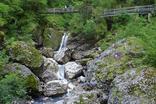
© Montafon - Julia Mangeng

- Difficulty
-
easy
- Rating
-
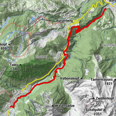
- Route
-
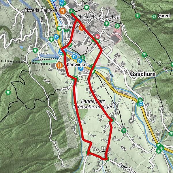
Pfarrkirche St. Micheal0.0 kmGaschurn2.2 kmPfarrkirche St. Micheal2.6 km
- Best season
-
JanFebMarAprMayJunJulAugSepOctNovDec
- Highest point
- 1,020 m
- Endpoint
-
Zentrum Gaschurn
- Height profile
-


-
-
AuthorThe tour Gaschurn - Klusertobel is used by outdooractive.com provided.
GPS Downloads


Other tours in the regions
-
Montafon
1381
-
Gaschurn - Partenen
355