

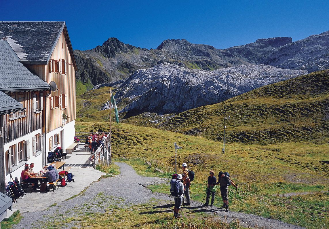
© Vorarlberg Tourismus GmbH - VorarlbergRundweg - Tilisuna Hütte

© Vorarlberg Tourismus GmbH - VorarlbergRundweg - Kevin Artho/Vorarlberg Tourismus

- Difficulty
-
medium
- Rating
-
- Route
-
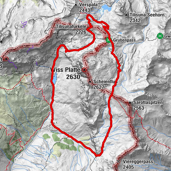
Tilisunafürkele (2,226 m)0.4 kmAlpenrösli4.6 kmPartnun5.1 kmWeberlisch Höli6.8 kmPlasseggenpass (2,354 m)9.1 kmTilisunahütte12.6 km
- Best season
-
JanFebMarAprMayJunJulAugSepOctNovDec
- Highest point
- 2,350 m
- Endpoint
-
Tilisunahütte
- Height profile
-


-

-
AuthorThe tour Schijenflue und Weißplatte is used by outdooractive.com provided.
GPS Downloads


Other tours in the regions
-
Montafon
1381
-
Gargellen im Montafon
352


