


- Brief description
-
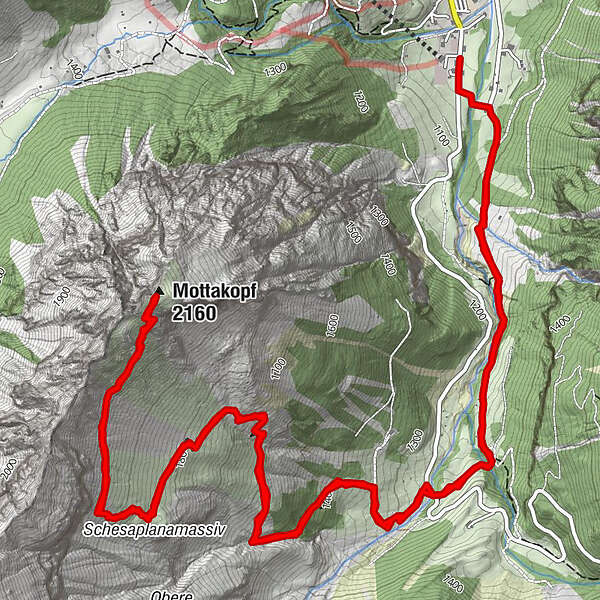
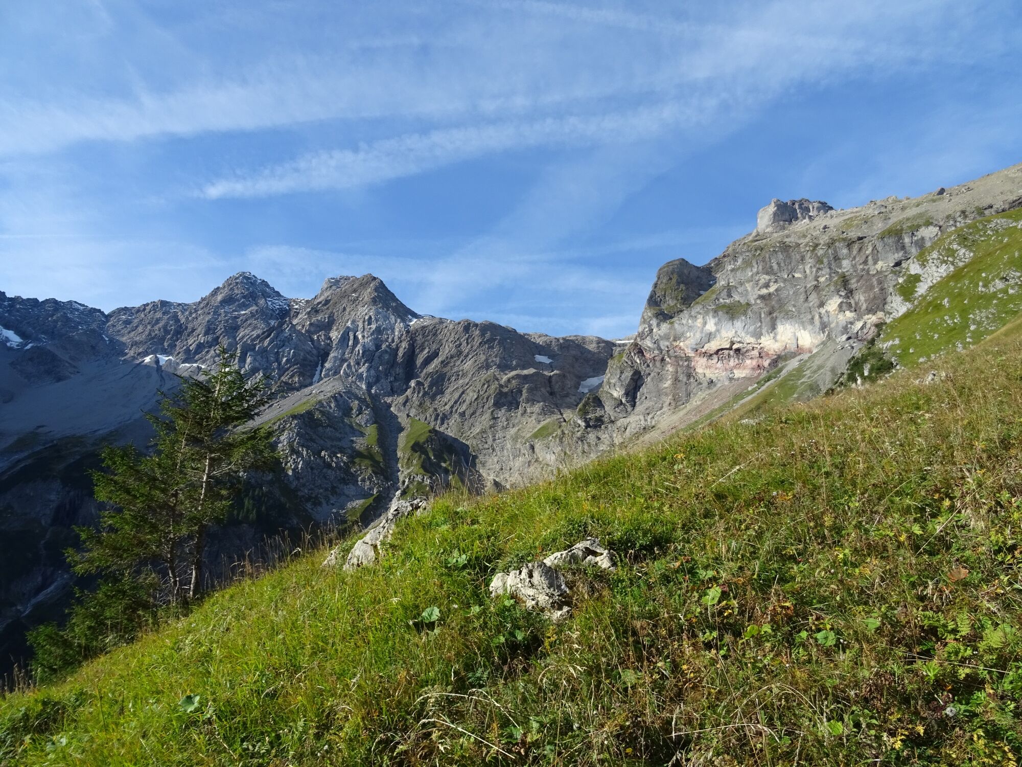
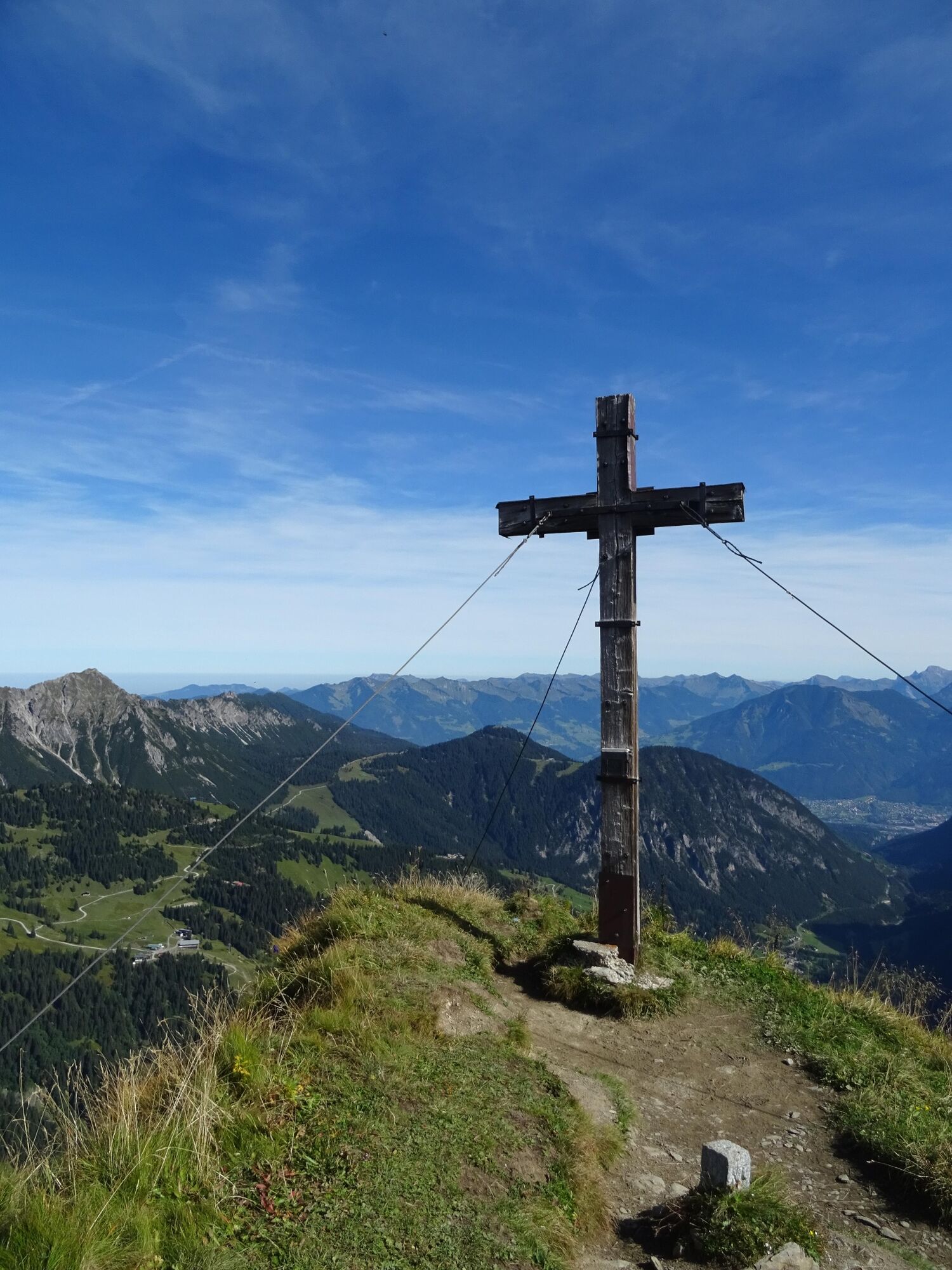
Very beautiful mountain tour on the Brandner local mountain "Mottakopf", which is rewarded with a fabulous panoramic view.
- Difficulty
-
difficult
- Rating
-
- Starting point
-
Innertal, Brand
- Route
-
Herz-Jesu-Kapelle0.1 kmKesselfall1.1 kmMottakopf (2,160 m)6.7 kmKesselfall12.2 kmHerz-Jesu-Kapelle13.5 km
- Best season
-
JanFebMarAprMayJunJulAugSepOctNovDec
- Description
-
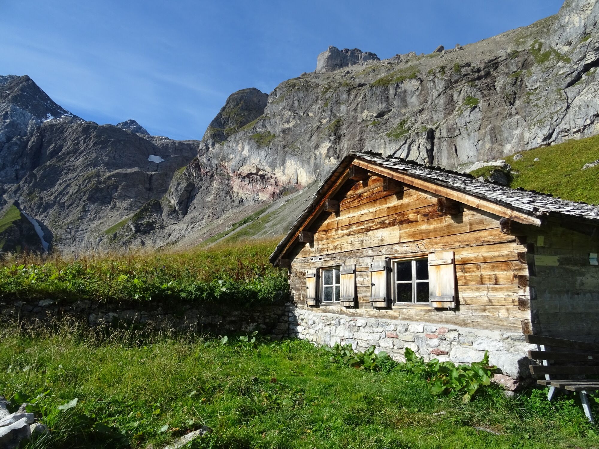
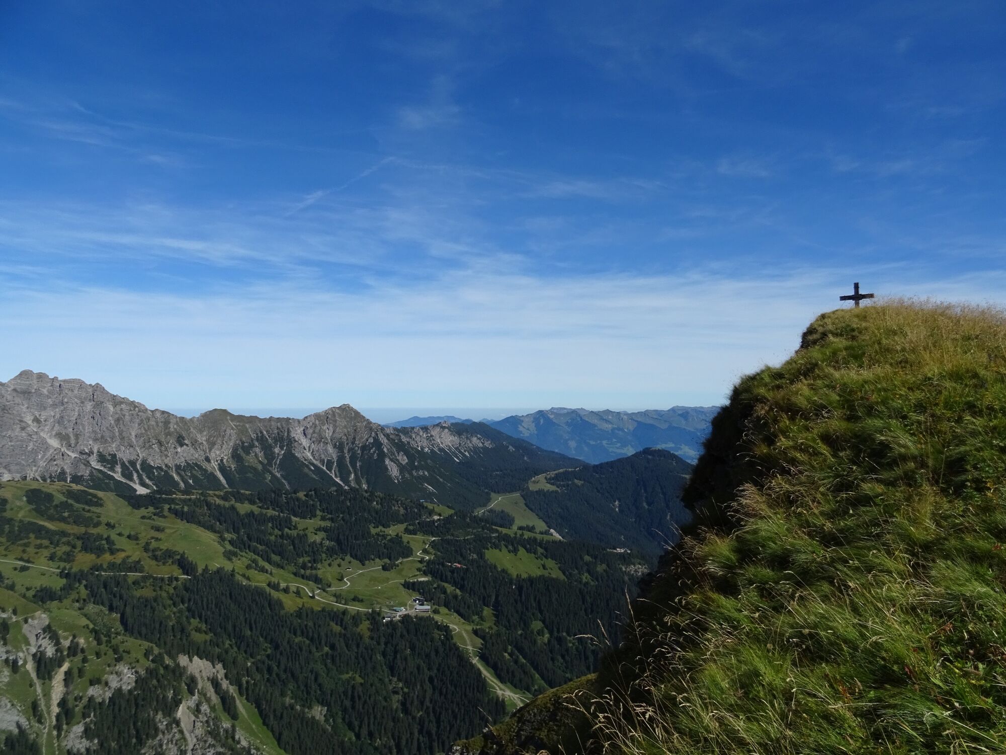
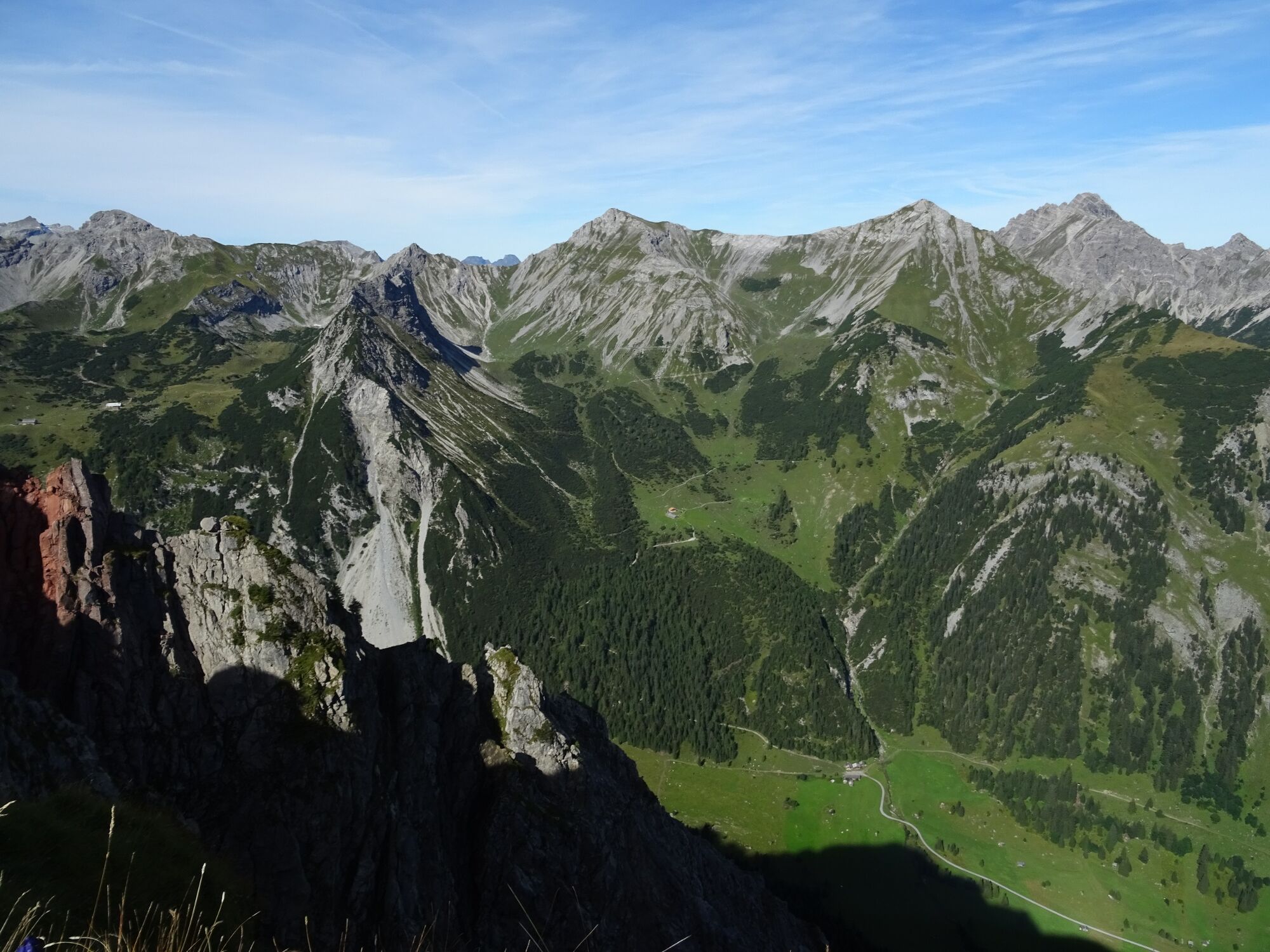
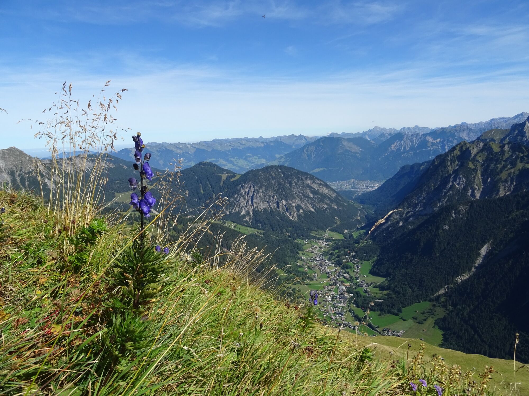
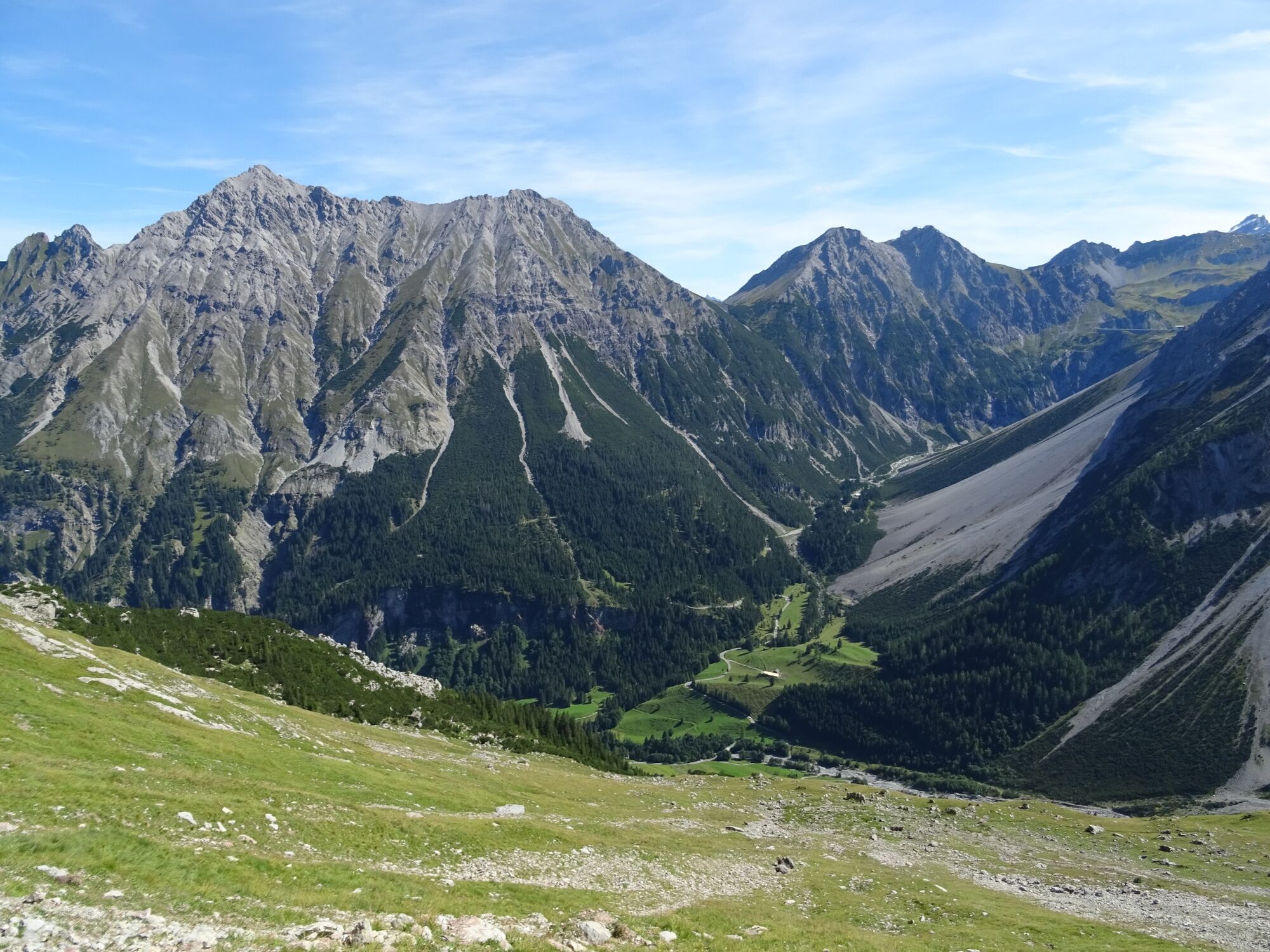
From Brand Innertal, the trail leads on the left side of the Alvier into the valley in the direction of Schattenlagant, past the Kesselfall to the "Gletscherbachbrücke/Mottakopf" junction. Here the trail branches off to the right. After a short stretch, you cross the Schattenlagant road and reach the Gletscherbachbrücke bridge. From here, the mountain tour leads in several serpentines up to the Obere Sonnenlagant Alpe. For experienced hikers, the trail continues from here with white-blue-white markings up to the summit of the Mottakopf. At the top, in good weather, you can enjoy a fabulous view of the surrounding mountains of the Rätikon. The trail leads back along the same route or, in the last section at the Kesselfall, you can cross the stream and descend towards the Brand Innertal valley. Attention: This tour is not recommended in wet conditions!
- Directions
-
Innertal - footpath in the direction of Schattenlagant - turn off at "Gletscherbachbrücke/Mottakopf" - alternatively take the bus L 81 to the "Sonnenlagant" bus stop - Schattenlagantstraße - Gletscherbachbrücke - hiking trail in the direction of Mottakopf - Obere Sonnenlagant Alpe - Mottakopf - same route back or the last section via Kesselfall and the left bank of the stream out of the valley
- Highest point
- 2,166 m
- Endpoint
-
Innertal, Brand
- Height profile
-

- Equipment
-
Strong footwear, warm clothing, rain and sun protection and hiking poles are recommended. Cell phone for emergencies.
- Safety instructions
- Tips
-
If this tour is a little too far for you, you can take the bus L 81 to the "Sonnenlagant" bus stop and save yourself the first few metres of the tour.
- Arrival
-
www.maps.google.at
- Public transportation
-
Bus line 580, stop "Sonnenlagant"
Timetable check online at www.vmobil.at
- Parking
-
Car park in Innertal, Brand


- Author
-
The tour Mottakopf, 2.176 m | Brand is used by outdooractive.com provided.


General info
-
Heidiland
2201
-
Brandnertal
1567
-
Brand
431


