
- Brief description
-
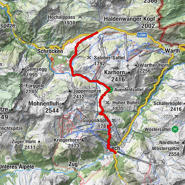
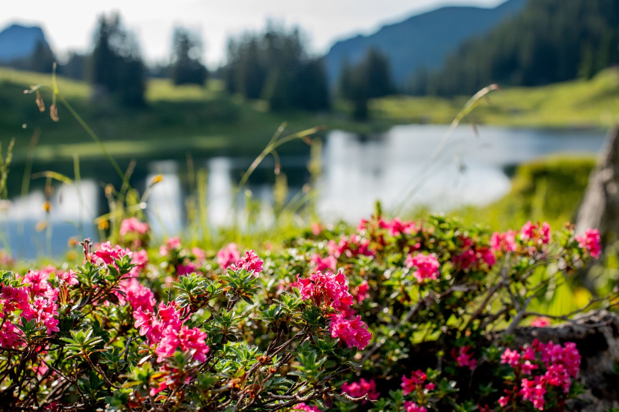
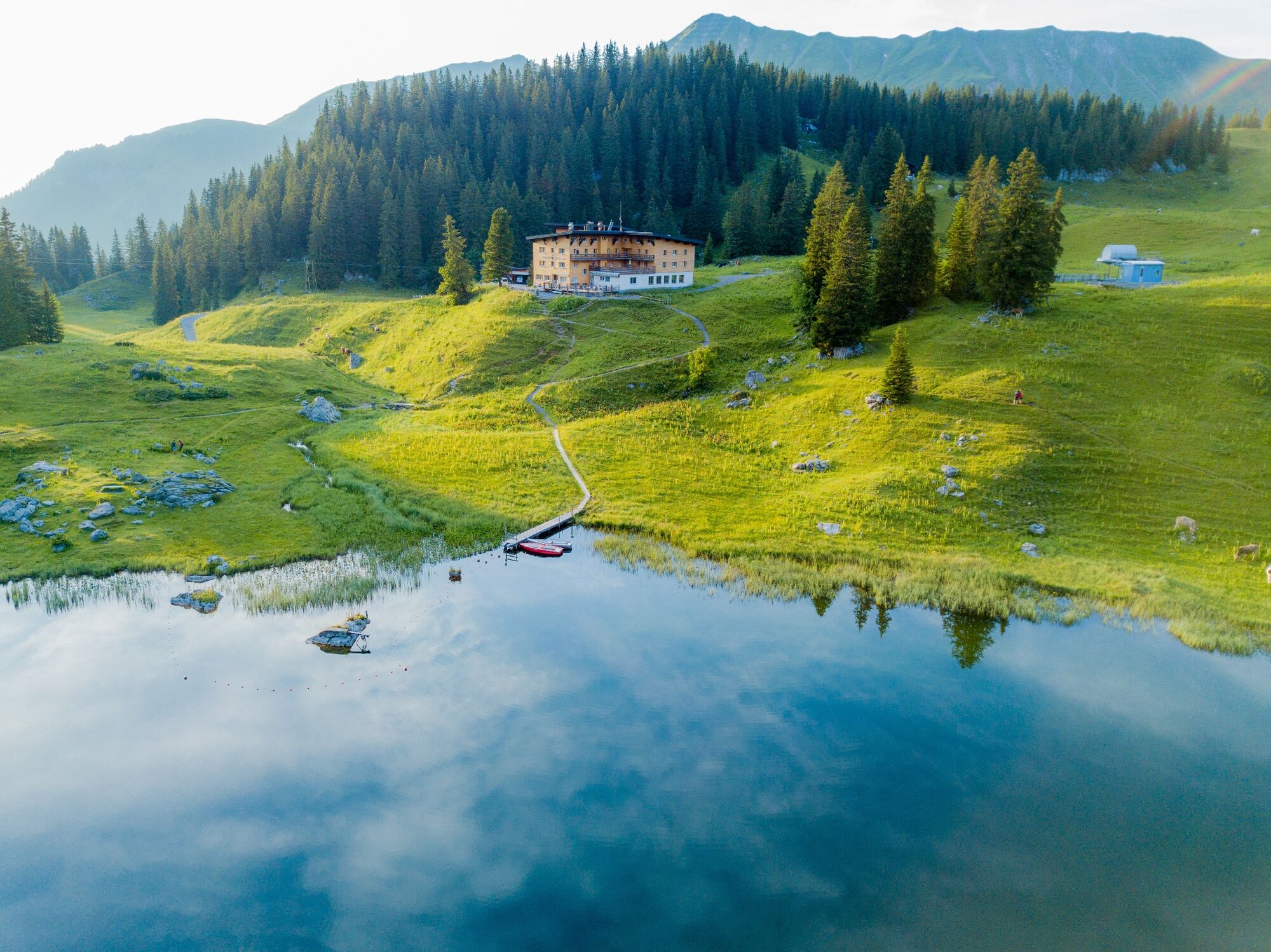
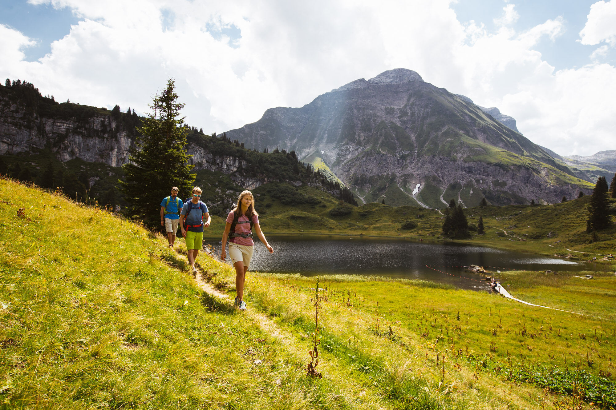
From the Hochtannberg you can hike comfortably to the Lake Körbersee. The pleasant silence at the lake will enchant you, so that you don’t just want to hike past here. Why don’t you stop by the Berghotel Körbersee for a drink? On a narrow footpath, which leads to a wide freight path, you now hike towards Auenfeld. Look at the wonderfully juicy meadows. Going up to the right, the path leads towards Gaisbühlalpe/Oberlech. In Oberlech follow the signs downhill towards Rudalpe/centre Lech.
- Difficulty
-
medium
- Rating
-
- Starting point
-
Hochtannbergpass
- Route
-
Untere Auenfeldalpe4.9 kmÜbungslift Oberlech8.8 kmOberlech9.2 kmBergbahn Lech - Oberlech9.5 kmLech (1,444 m)11.0 km
- Best season
-
JanFebMarAprMayJunJulAugSepOctNovDec
- Description
-
Touring.
Hochtannbergpass - Kalbelesee - Körbersee - Auenfeld - Auenfeldsattel - Gaisbühlalpe - Oberlech - Rudalpe - Lech
- Directions
-
Touring.
Hochtannbergpass - Kalbelesee - Körbersee - Auenfeld - Auenfeldsattel - Gaisbühlalpe - Oberlech - Rudalpe - Lech
- Highest point
- 1,790 m
- Endpoint
-
Lech
- Height profile
-

- Equipment
-
This should never be missing on the mountain.
Backpack, First-Aid Set incl. Bladder plaster, telephone with emergency number, cash, drinking bottle, pocket knife, provisions, sun protection in good weather.
- Safety instructions
-
Emergency numbers.
140 - Alpine emergencies throughout Austria
144 - Alpine emergencies in Vorarlberg
112 - Euro emergency call
- Additional information
- Directions
- Public transportation
- Parking


- Author
-
The tour From the Hochtannbergpass over the Körbersee to Lech is used by outdooractive.com provided.