


- Brief description
-
Kirchdorf Damüls - Alpe Oberdamüls - Stofel Kapelle - Alpe Unterdamüls - Türtschalpe
- Difficulty
-
medium
- Rating
-
- Route
-
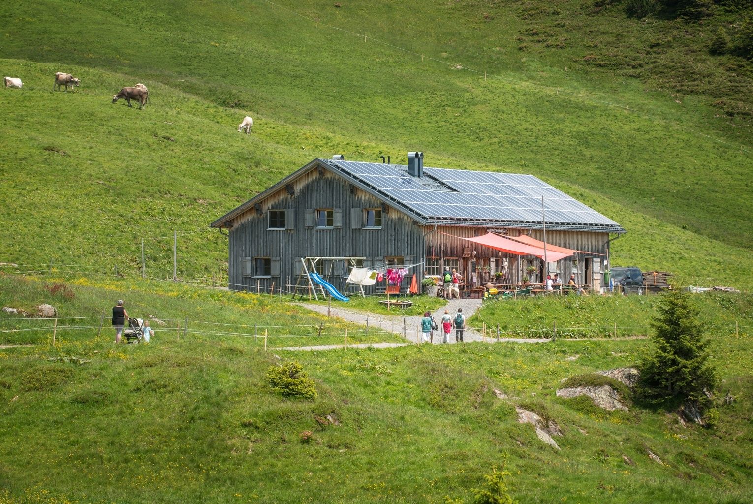
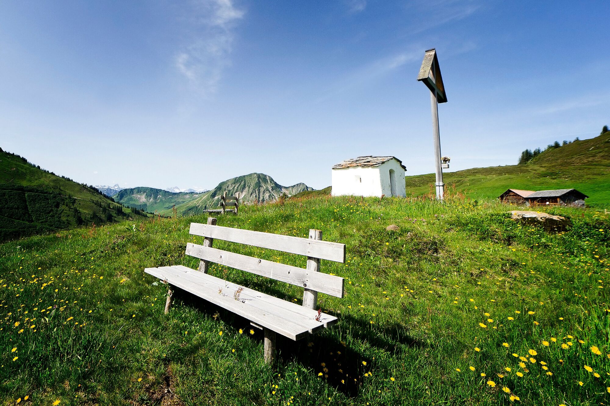
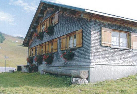
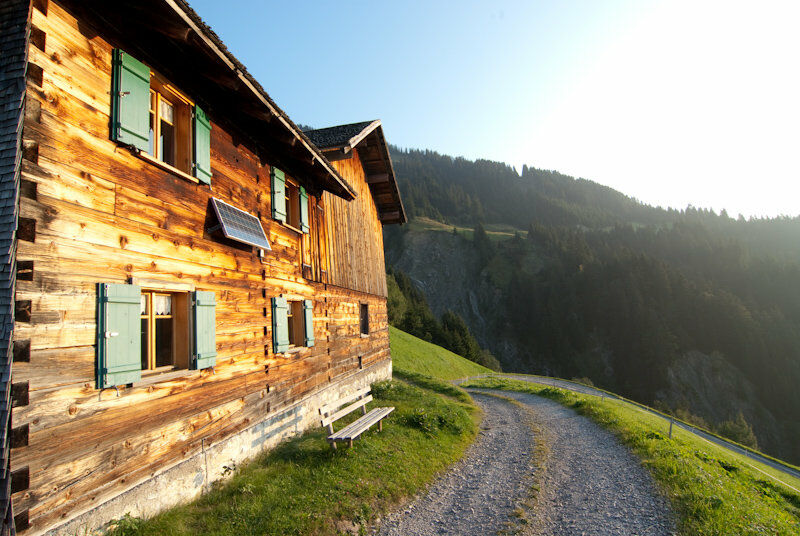
Damüls (1,423 m)0.1 kmPfarrkirche Hl. Nikolaus0.1 kmAlpe Oberdamüls1.9 kmStofel2.1 kmHotel Alpengasthof Jägerstüble3.3 kmAlpe Unterdamüls4.8 kmTürtschalpe8.3 kmGadastatt10.6 kmPfarrkirche Hl. Sebastian13.6 kmFontanella (1,145 m)13.6 km
- Best season
-
JanFebMarAprMayJunJulAugSepOctNovDec
- Highest point
- 1,699 m
- Endpoint
-
Fontanella
- Height profile
-

-

-
AuthorThe tour Alphüttenwanderung Damüls-Mellau-Faschina - Teil 1 is used by outdooractive.com provided.
GPS Downloads


General info
Refreshment stop
A lot of view
Other tours in the regions
-
St. Gallen - Bodensee
2066
-
Biosphärenpark Großes Walsertal
2006
-
Damüls
576


