

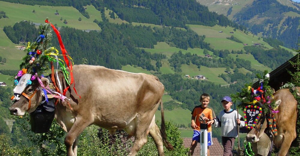
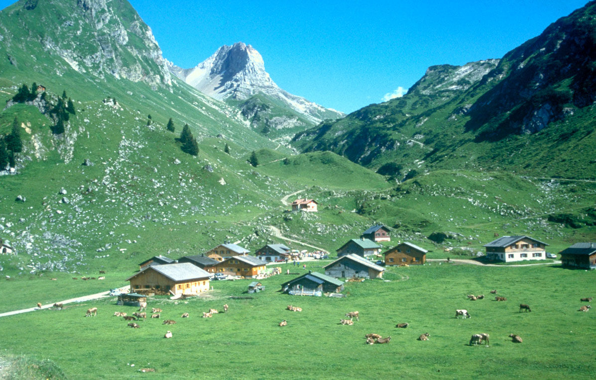
© Alpenregion Bludenz Tourismus GmbH - Christine Suire

© Alpenregion Bludenz Tourismus GmbH - Christine Suire
- Difficulty
-
medium
- Rating
-
- Route
-
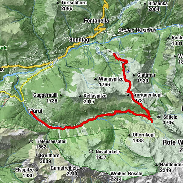
Seilbahn StubaWandfluhhütte1.0 kmUnterpartnomalpe1.0 kmLaguzalpe6.2 kmMarul14.5 kmSt. Katharina14.6 km
- Best season
-
JanFebMarAprMayJunJulAugSepOctNovDec
- Highest point
- 1,842 m
- Endpoint
-
Sonntag Stein Talstation
- Height profile
-

- Author
-
The tour Rundwanderung Laguz is used by outdooractive.com provided.
GPS Downloads


General info
Refreshment stop
A lot of view
Other tours in the regions


