- Brief description
-
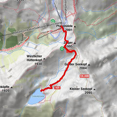
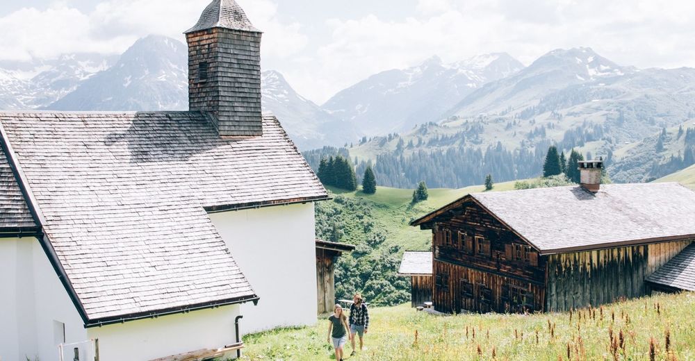
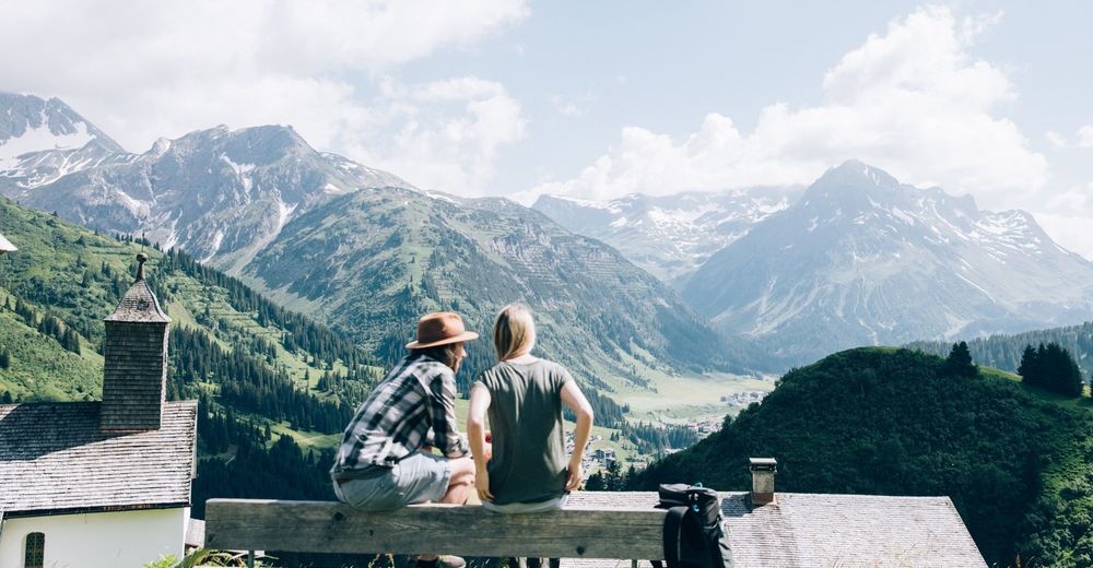
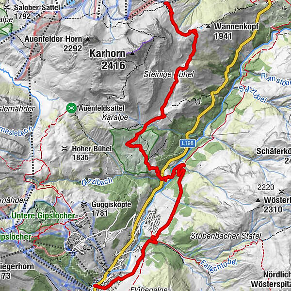
A family hike that starts in Warth near Steffisalp-Lift and leads you via the Wannenkopf to the Walser settlement "Bürstegg" and to the Bodenalpe.
- Difficulty
-
easy
- Rating
-
- Starting point
-
Steffisalplift Bergstation in Warth
- Route
-
Steffisalp-Express0.0 kmGspa1.3 kmBürstegg2.9 kmJausenstation Bürstegg2.9 kmBodenalpe5.2 kmNeue Kirche Lech9.2 kmLech (1,444 m)9.3 km
- Best season
-
JanFebMarAprMayJunJulAugSepOctNovDec
- Description
-
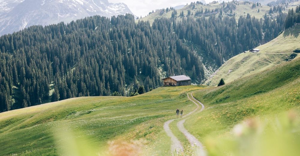
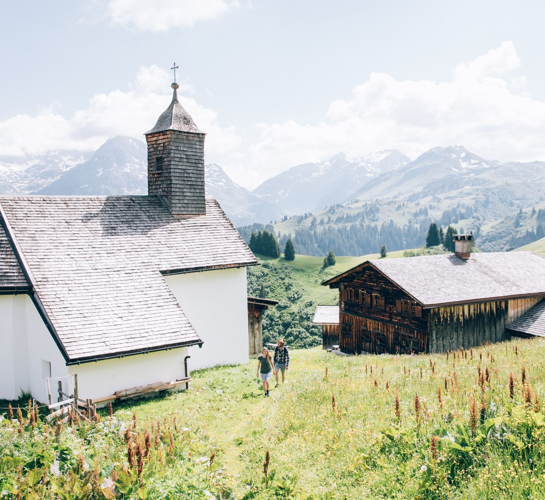
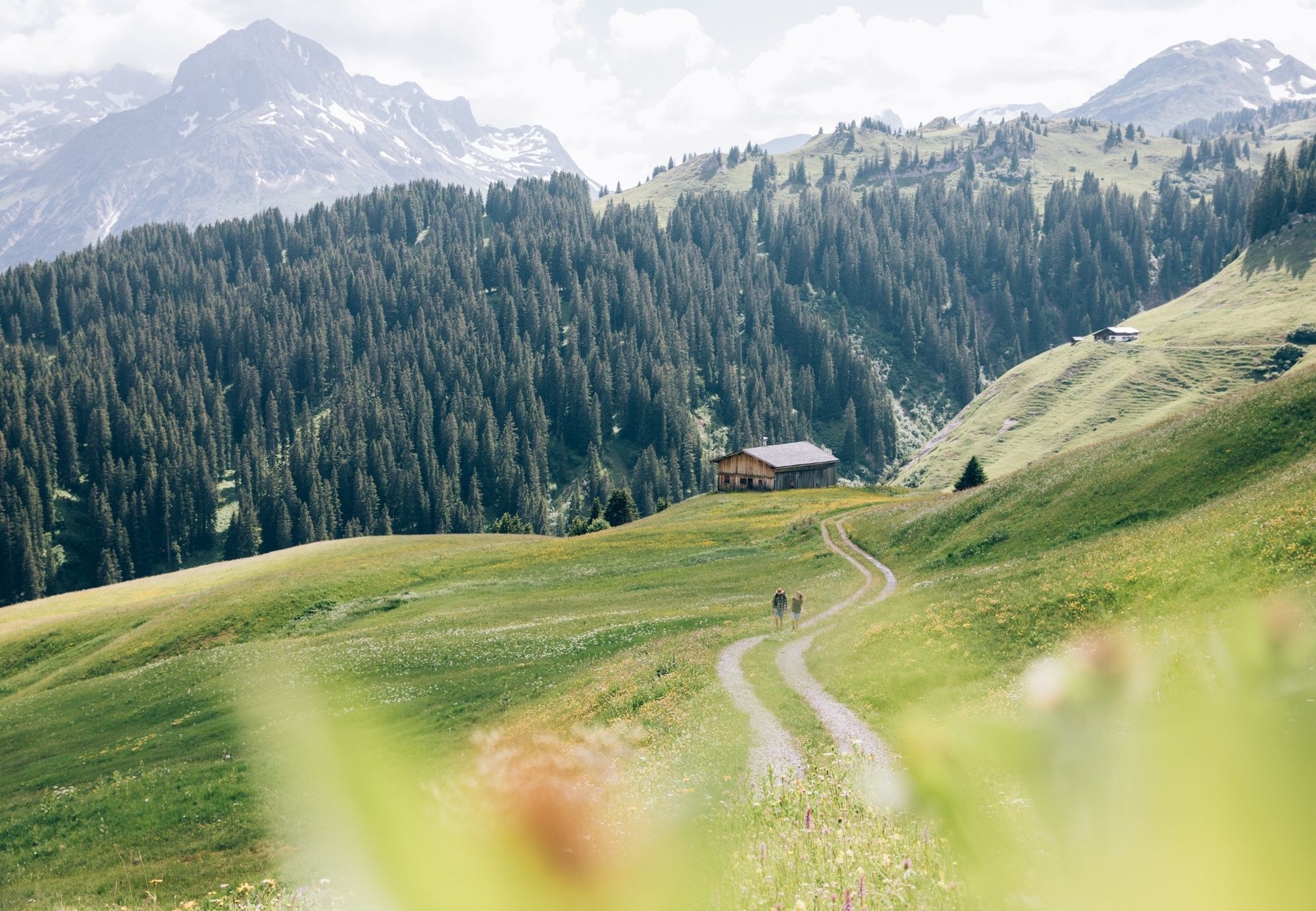
The starting point of the hike is in Warth at the valley station of the Steffisalp lift. Arriving at the top station, take the path to the left towards Wannenkopf. On the gravel road downhill you reach the former Walser settlement "Bürstegg". Follow the path until you reach the Bodenalpe.
- Directions
-
The free local bus will take you to Warth. There you take the Steffisalp-Lift to transport yourself to the top without any effort. From there, follow the path on the left slightly uphill in the direction of "Wannenkopf". From here, the narrow gravel path leads downhill through alpine pastures and mountain meadows to the former Walser settlement "Bürstegg". From here it goes down to Bodenalpe via a wide freight road in leisurely loops. From here you can either take the local bus back to Lech or you can follow the trail past the Bodenalpe, cross the Lech river and take a freight road to the Stubenbach parcel and then to the centre of Lech.
- Highest point
- 1,943 m
- Endpoint
-
Bodenalpe
- Height profile
-

- Equipment
-
Good footwear (ankle high, profile sole), rain protection, Lech Card and bus timetable.
- Safety instructions
- Tips
-
This hike can also be done in the opposite direction.
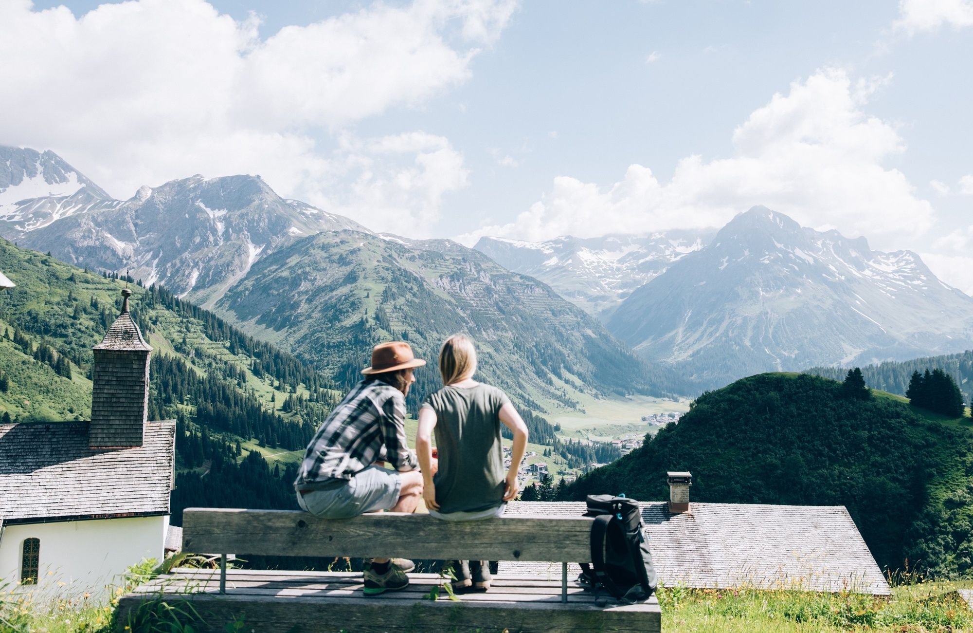
Refreshment stops: Restaurants in Lech.
- Additional information
- Arrival
-
From Germany: Take the A96 motorway to Bregenz from there on the A14 motorway to Bludenz, continue on the S16 to the Lech Zürs am Arlberg exit. Follow the B197 up to Alpe Rauz, turn left here onto the B198 through Flexengalerie and over the Flexenpass to Lech Zürs am Arlberg.
From Switzerland: Via the A13 motorway and the Feldkirch, Hohenems or Lustenau border crossing on the A14 motorway to Bludenz. Continue on the S16 until exit Lech Zürs am Arlberg. Follow the B197 up to Alpe Rauz, turn left here onto the B198 through Flexengalerie and over the Flexenpass to Lech Zürs am Arlberg.
From Austria: Via the Inntalautobahn A12 and then via the S16 to the exit St. Anton am Arlberg (Arlberg Pass). Follow the B197 first through St. Anton, then through St. Christoph and over the Arlbergpass to Alpe Rauz. Turn right here onto the B198, drive through Flexengalerie and over the Flexenpass to Lech Zürs am Arlberg.
- Public transportation
-
By train to Langen am Arlberg station or St. Anton am Arlberg. From there, buses (No. 750+760) run regularly to Lech Zürs am Arlberg.
- Parking
-
You can either park your vehicle directly at your host or park it in the underground garage in Anger. The underground car park is located directly in the centre of town opposite Raiffeisenbank Lech. Opening hours 07:00 - 20:00 o' clock.
-

-
AuthorThe tour Via Steffisalp and Bürstegg to the Bodenalpe is used by outdooractive.com provided.