


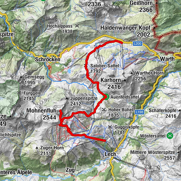
Tour data
15.27km
1,585
- 2,504m
933hm
992hm
04:30h
- Brief description
-
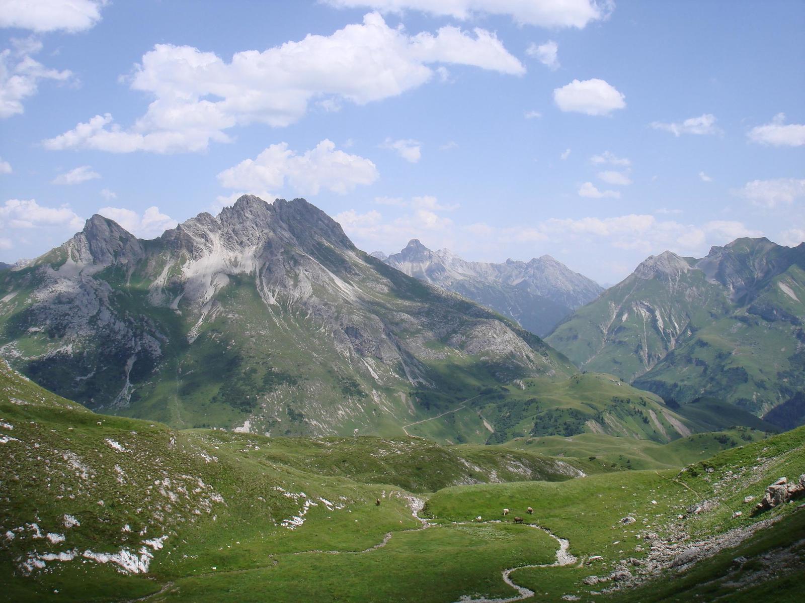
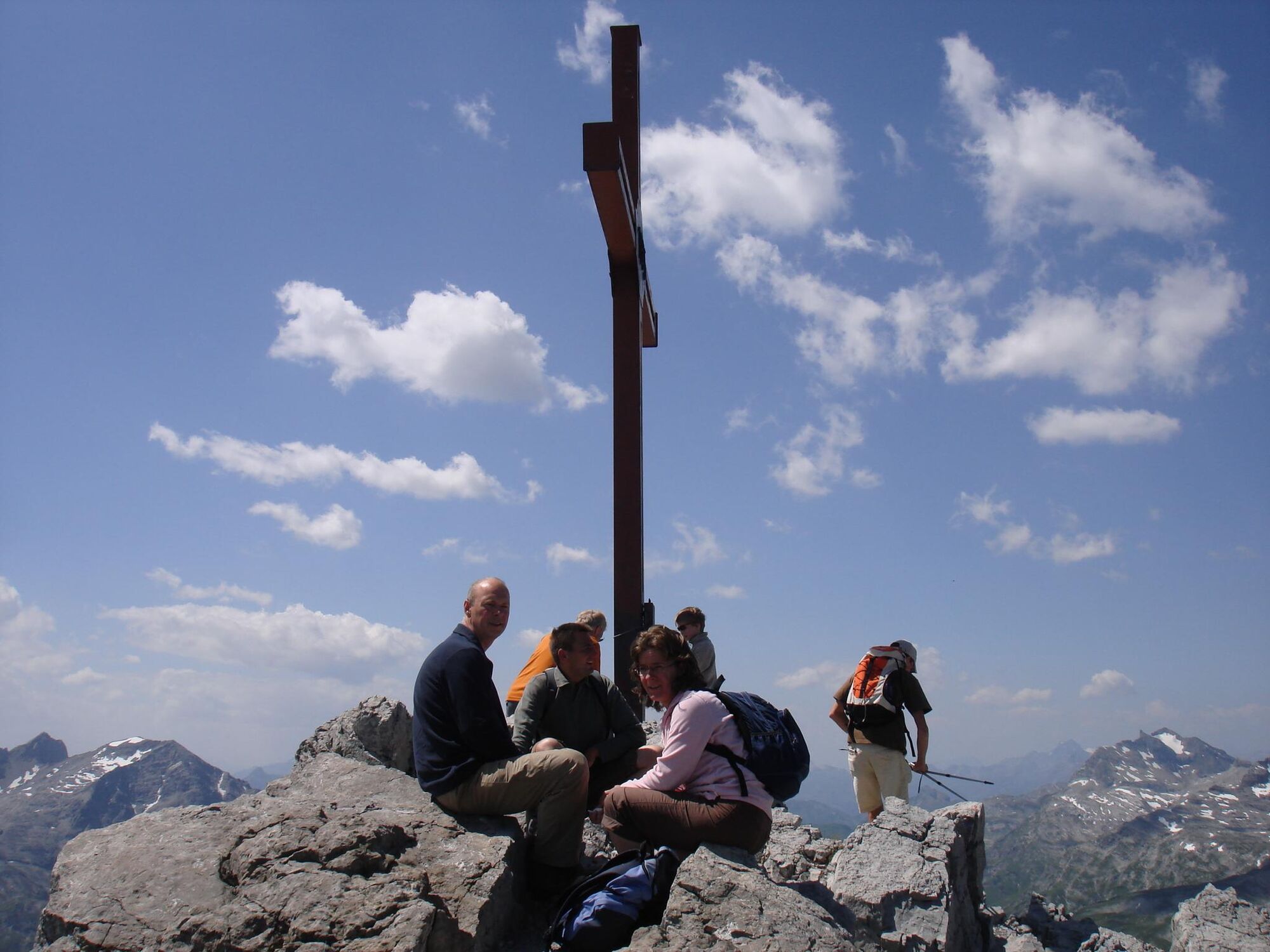
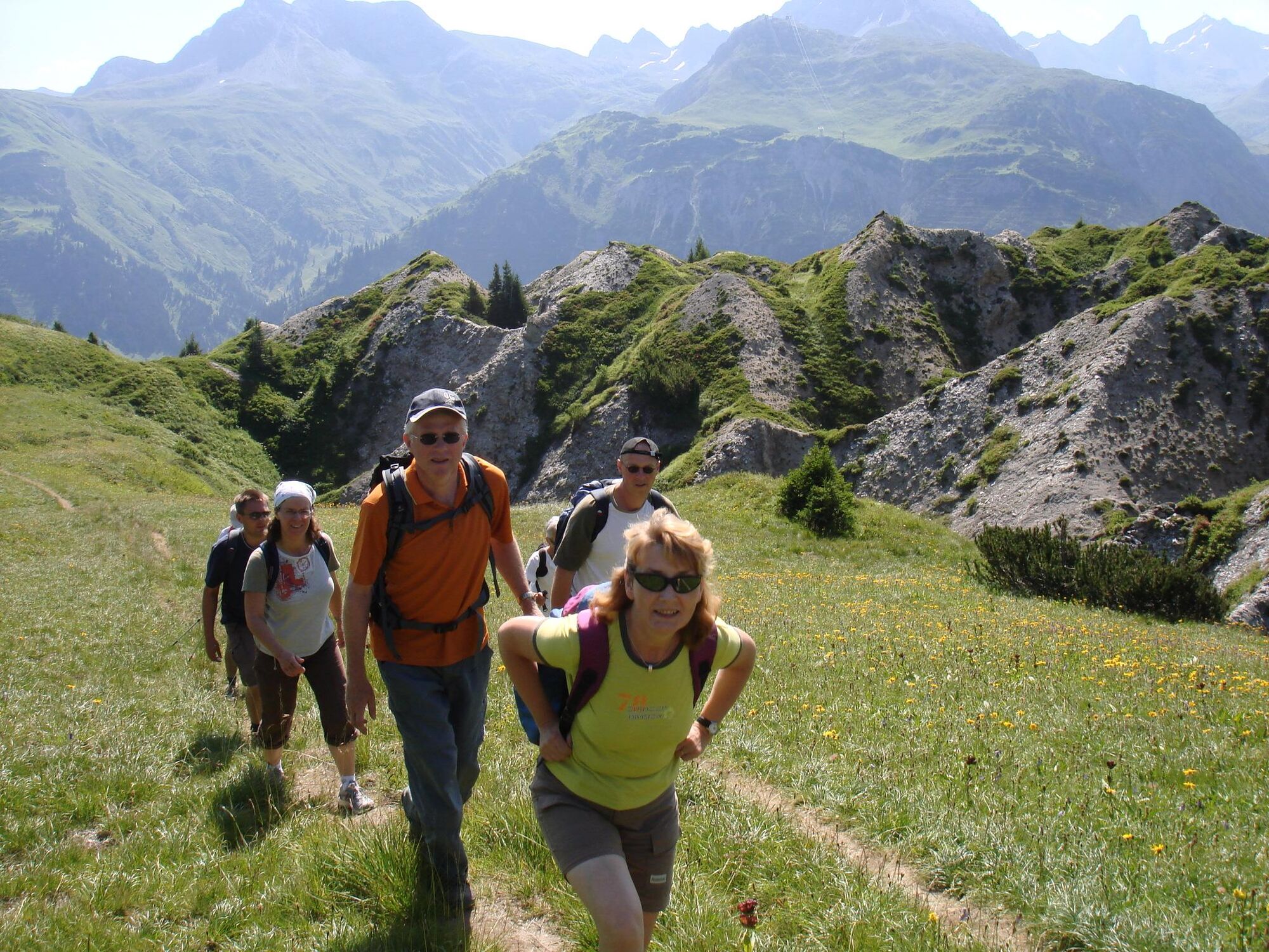
Sehr schöne, anstrengende,teilweise alpine Tour mit tollen Landschaften und Aussichten
- Difficulty
-
medium
- Rating
-
- Route
-
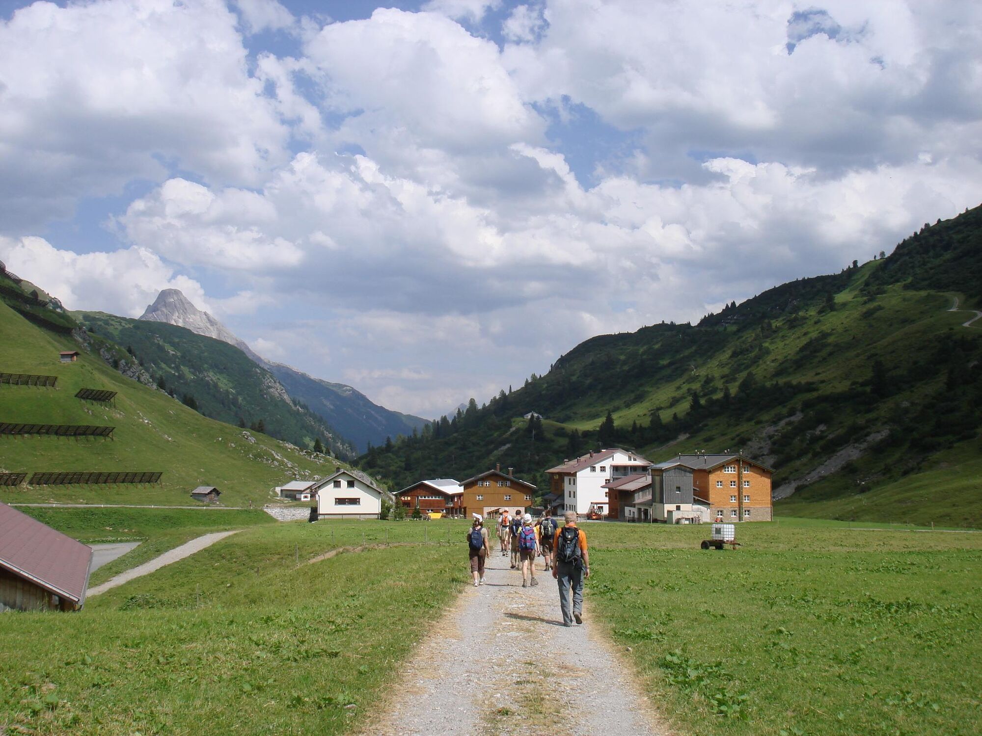
Petersbodenbahn0.0 kmPetersbodenbahn1.1 kmMohnenfluh (2,544 m)4.8 kmObere Auenfeld Alpe (1,732 m)10.6 kmAuenfelder Hütte11.2 kmSalober-Sattel (1,792 m)12.2 kmKuchlbahn13.8 kmHochkrumbach14.8 kmJägeralpe15.2 kmSennkuchl15.2 km
- Best season
-
JanFebMarAprMayJunJulAugSepOctNovDec
- Highest point
- 2,504 m
- Endpoint
-
Jägeralpe
- Height profile
-

- Author
-
The tour Oberlech-Mohnefluh-Auenfeld-Jägeralpe is used by outdooractive.com provided.
GPS Downloads


General info
Refreshment stop
A lot of view
Other tours in the regions


