
© Damüls - Faschina Tourismus

- Brief description
-
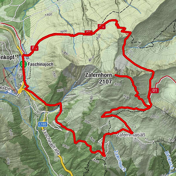
Faschinajoch - Bartolomäus Alpe - Hubertuskapelle (1.900 m) - Zafernhorn (2.107 m) - Hubertuskapelle - Zafernmaisäß - Faschinajoch
- Difficulty
-
medium
- Rating
-
- Route
-
FaschinaHubertuskapelle3.5 kmZafernhorn (2,107 m)4.5 kmZafernmaisäß6.7 kmFaschina9.9 km
- Best season
-
JanFebMarAprMayJunJulAugSepOctNovDec
- Highest point
- 2,065 m
- Endpoint
-
Parkplatz Faschinajoch
- Height profile
-

- Author
-
The tour Faschina | Rund um's Zafernhorn is used by outdooractive.com provided.
GPS Downloads


General info
Refreshment stop
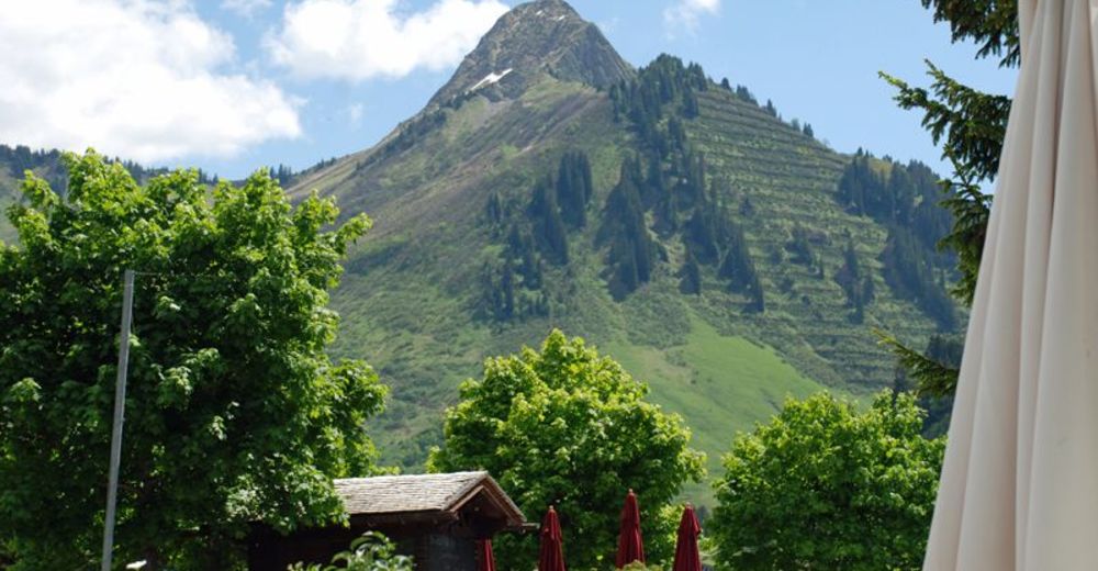
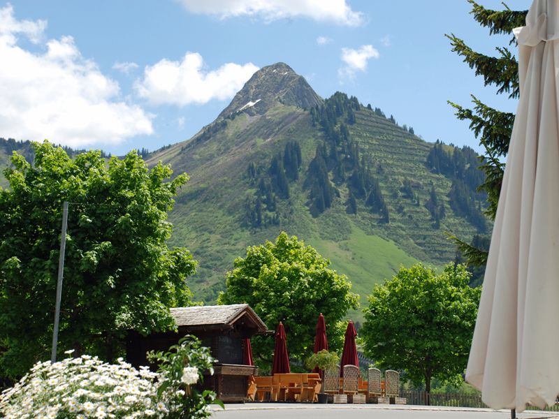
A lot of view
Other tours in the regions


