

© Unbekannt - Julia Eckert

© Unbekannt - Julia Eckert
© Silvretta Montafon - Daniel Zangerl

© Stefan Michael Kothner, Virtualview.at


- Brief description
-
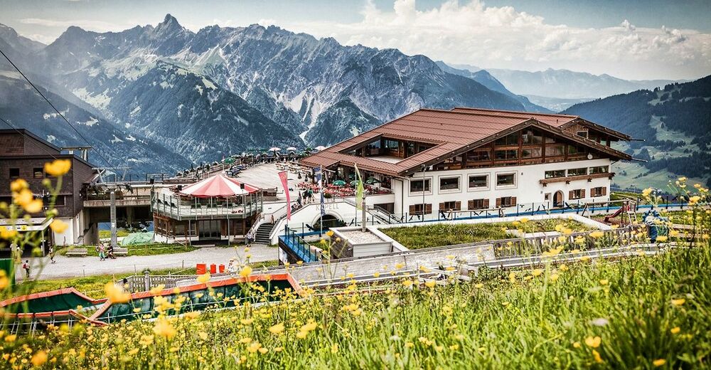
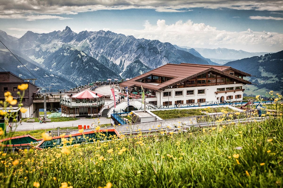
Kapell Bergstation - Seebligasee - retour Kapell Bergstation
- Difficulty
-
easy
- Rating
-
- Route
-
Kapellrestaurant0.0 kmAlpe Vorderkapell3.0 km
- Best season
-
JanFebMarAprMayJunJulAugSepOctNovDec
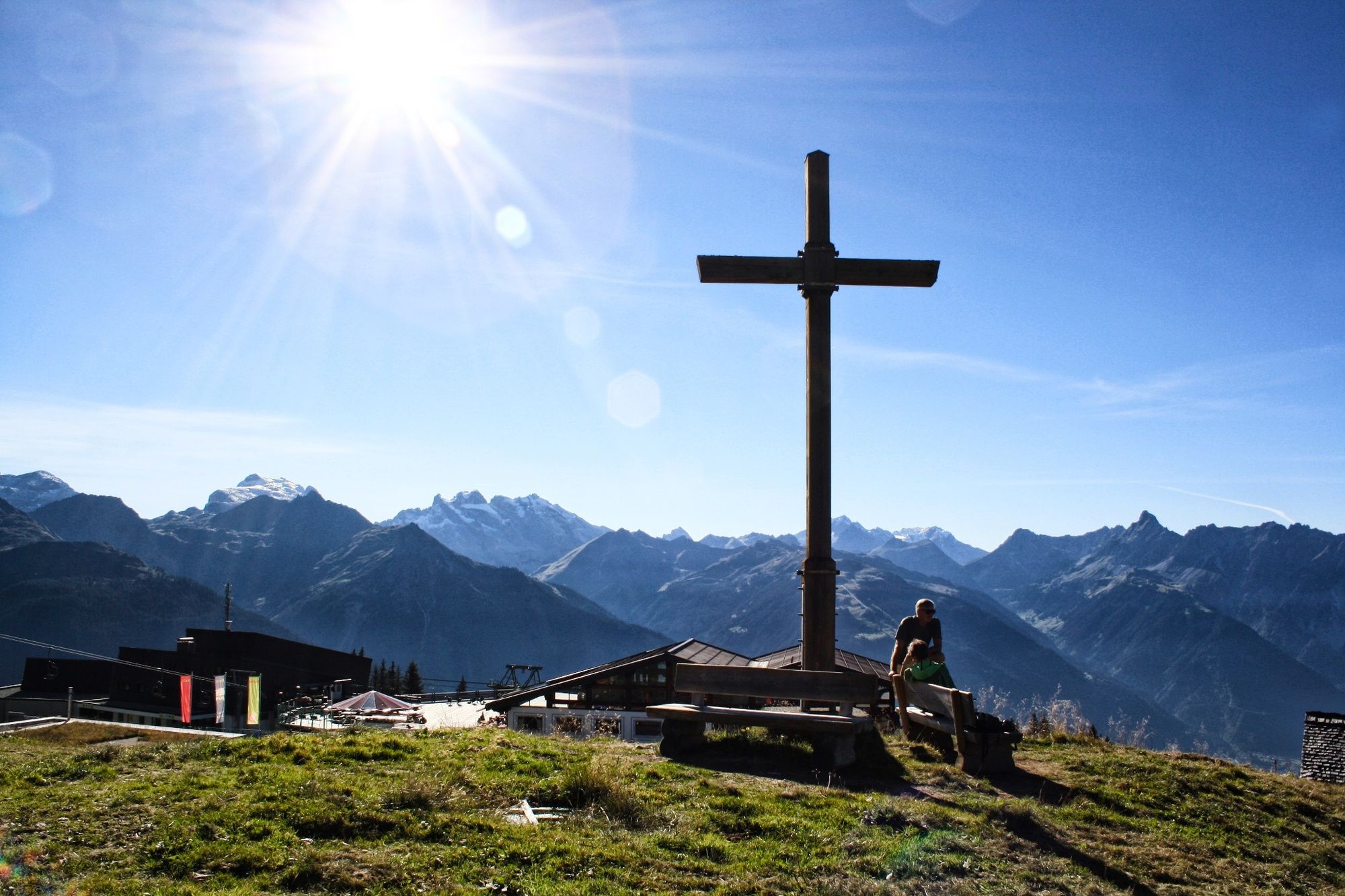
- Highest point
- 1,970 m
- Endpoint
-
Bergstation Hochjoch Bahn
- Height profile
-

-

-
AuthorThe tour Naturkräftepfad Seebligasee is used by outdooractive.com provided.
GPS Downloads


Other tours in the regions
-
Montafon
1382
-
Silbertal - Kristberg
486


