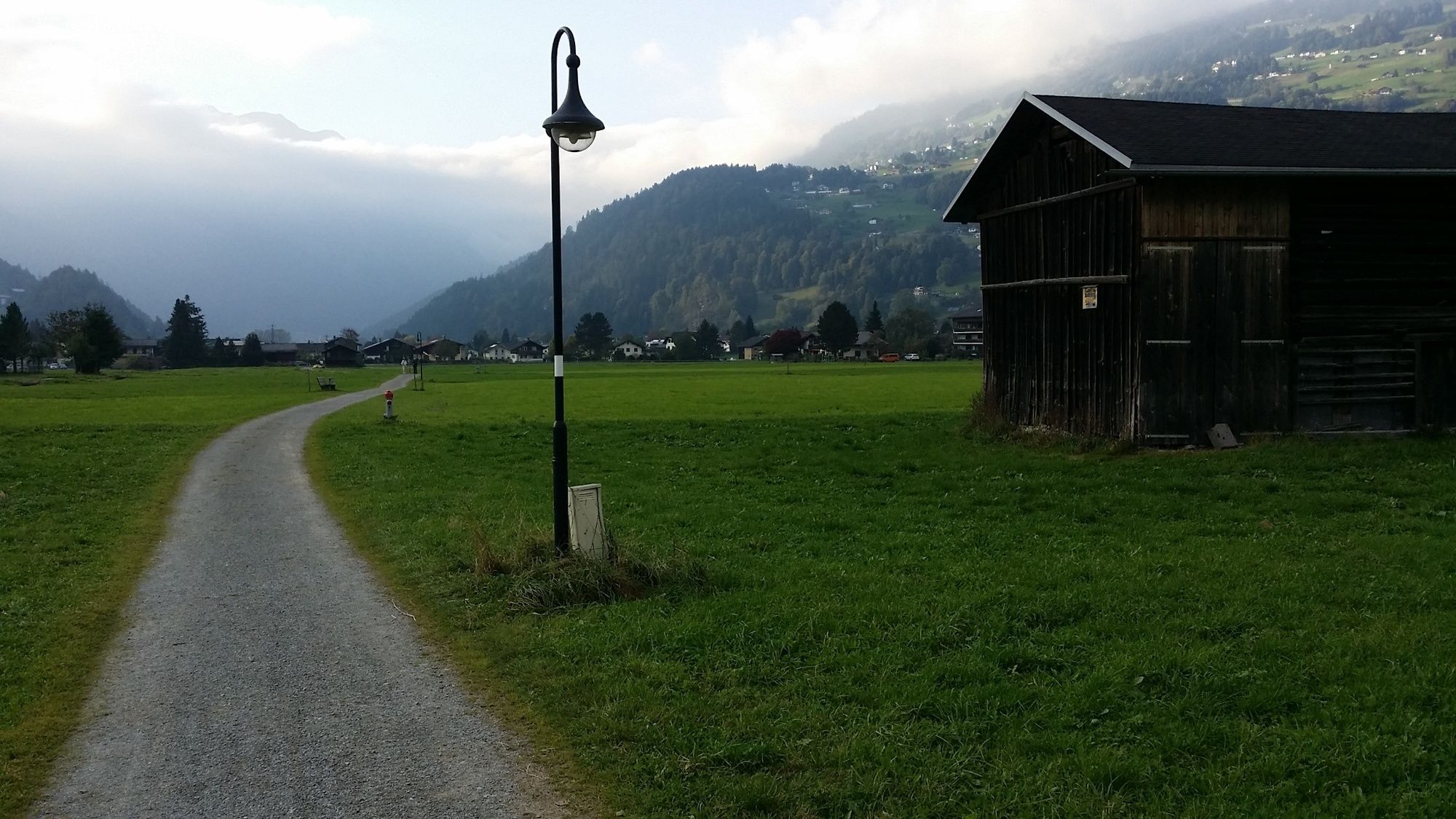
© Montafon Tourismus GmbH_Christina Wachter - Christina Wachter

© Montafon Tourismus GmbH_Christina Wachter - Christina Wachter

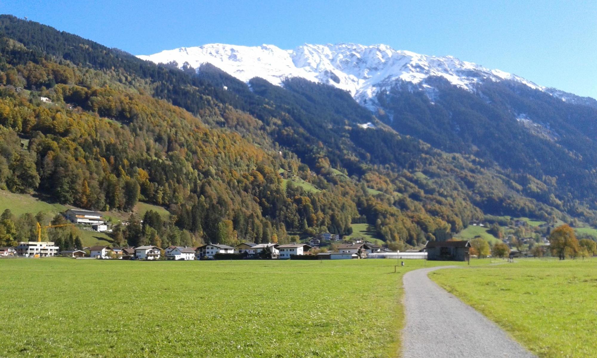
© Montafon Tourismus GmbH_Roland Fritsch - Christina Wachter

© Montafon Tourismus GmbH_Roland Fritsch - Christina Wachter

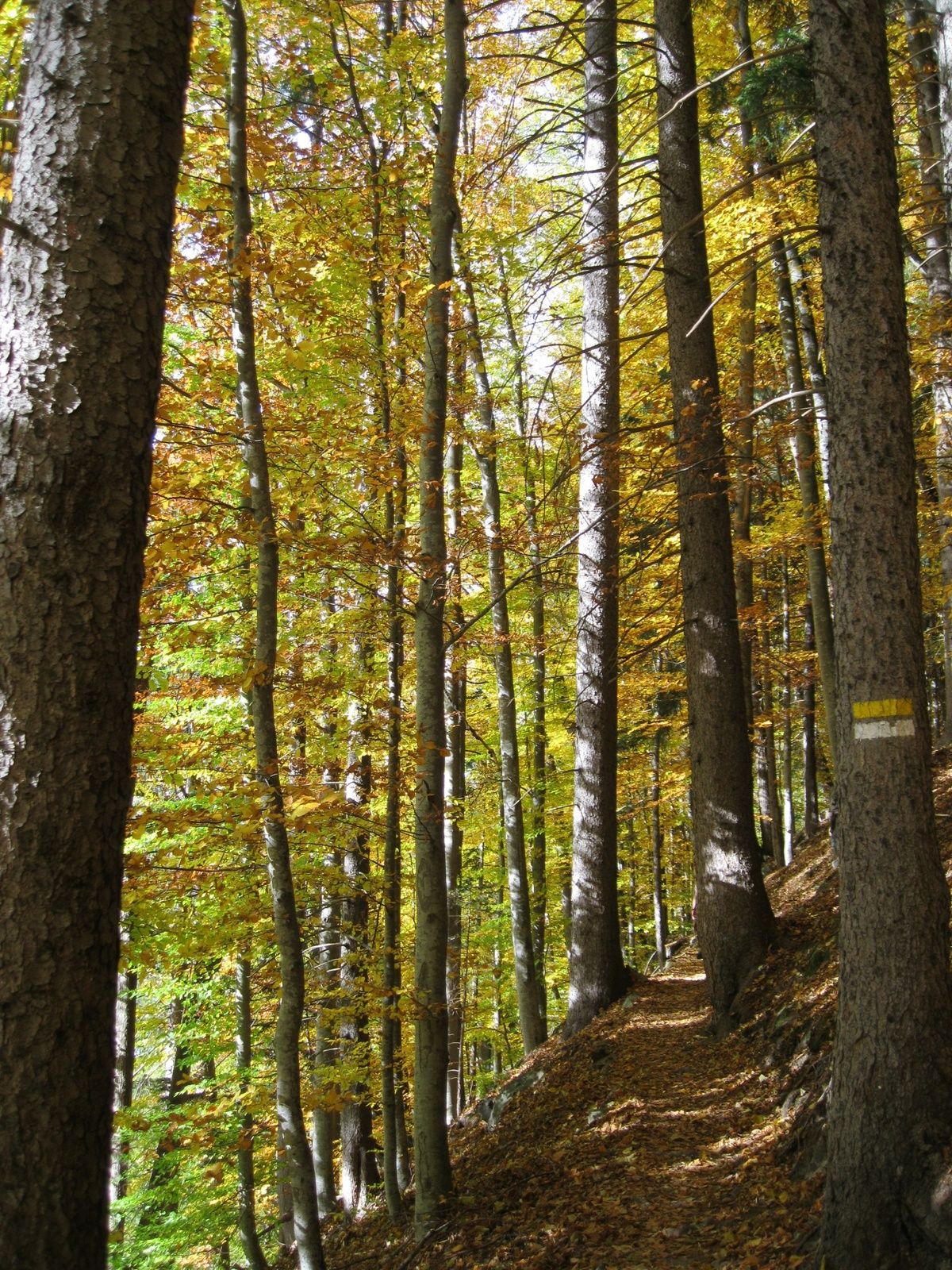
© Montafon - Christina Wachter

- Brief description
-
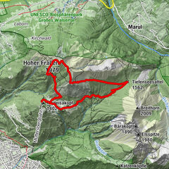
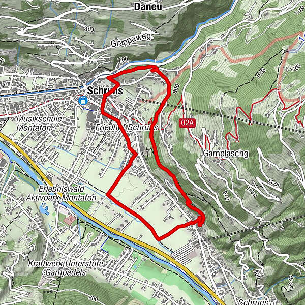
Kirchplatz Schruns - Veltlinerweg - Widumweg - Schrunser Feld - Auf dem Bühel - Buchwaldweg - Hofweg - Am Ried - Mittelschule Dorf - Kirchplatz Schruns
- Difficulty
-
easy
- Rating
-
- Route
-
Pfarrkirche St. JodokHof3.1 kmDaneu3.9 kmPfarrkirche St. Jodok4.5 kmSchruns4.6 km
- Best season
-
JanFebMarAprMayJunJulAugSepOctNovDec
- Highest point
- 773 m
- Endpoint
-
Kirchplatz Schruns
- Height profile
-

-
-
AuthorThe tour Buchwaldrunde in Schruns is used by outdooractive.com provided.
GPS Downloads


General info
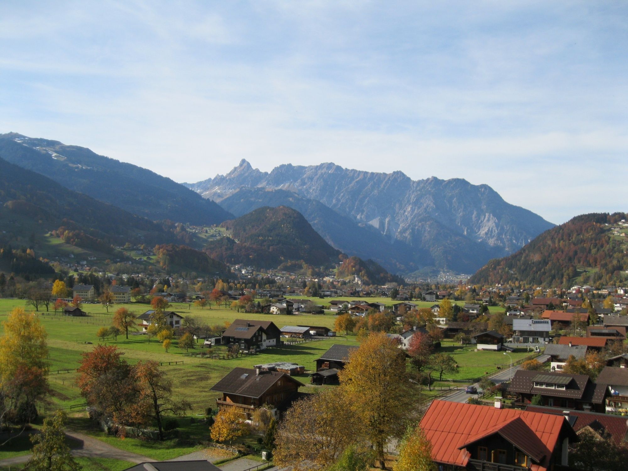
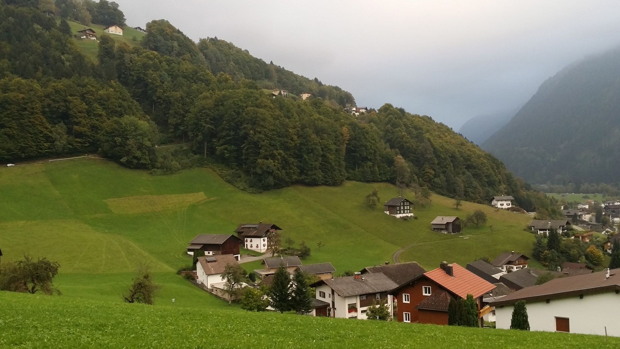
A lot of view
Other tours in the regions
-
Montafon
1382
-
Schruns - Tschagguns
553