

© Montafon Tourismus GmbH_Daniel Zangerl - Christina Wachter

- Brief description
-
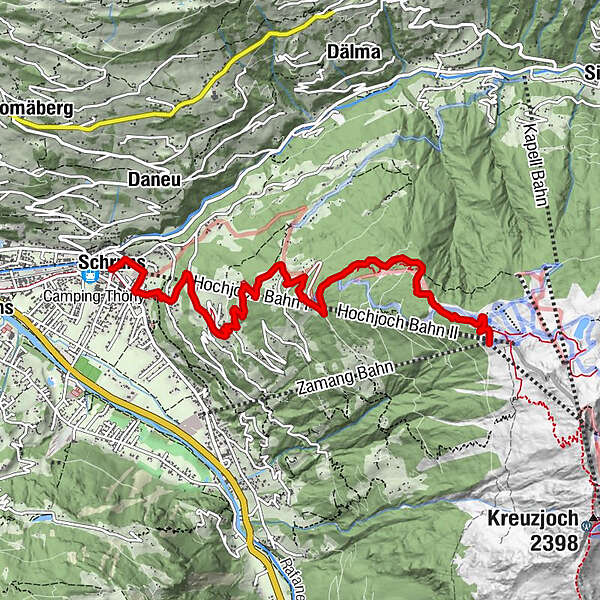
Kirchplatz Schruns - Kropfen - Waldweg - Kapellrestaurant
- Difficulty
-
medium
- Rating
-
- Route
-
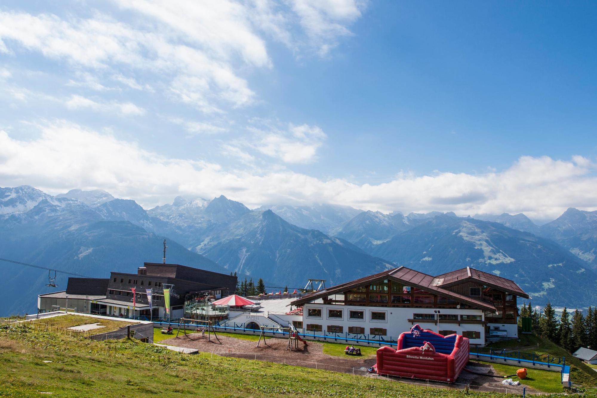
Pfarrkirche St. JodokSchrunsHochjoch Bahn Talstation0.3 kmHof0.9 kmGamplaschg2.0 kmBerggasthaus Kropfen4.1 kmKropfen Bahn (1,341 m)4.1 kmAlpe Vorderkapell6.8 kmKapellrestaurant6.8 km
- Best season
-
JanFebMarAprMayJunJulAugSepOctNovDec
- Highest point
- 1,853 m
- Endpoint
-
Kirchplatz Schruns
- Height profile
-

- Author
-
The tour Schruns über Kropfen und Waldweg bis Kapell is used by outdooractive.com provided.
GPS Downloads


General info
Refreshment stop
A lot of view
Other tours in the regions
-
Montafon
1382
-
Schruns - Tschagguns
553


