


- Brief description
-
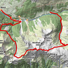
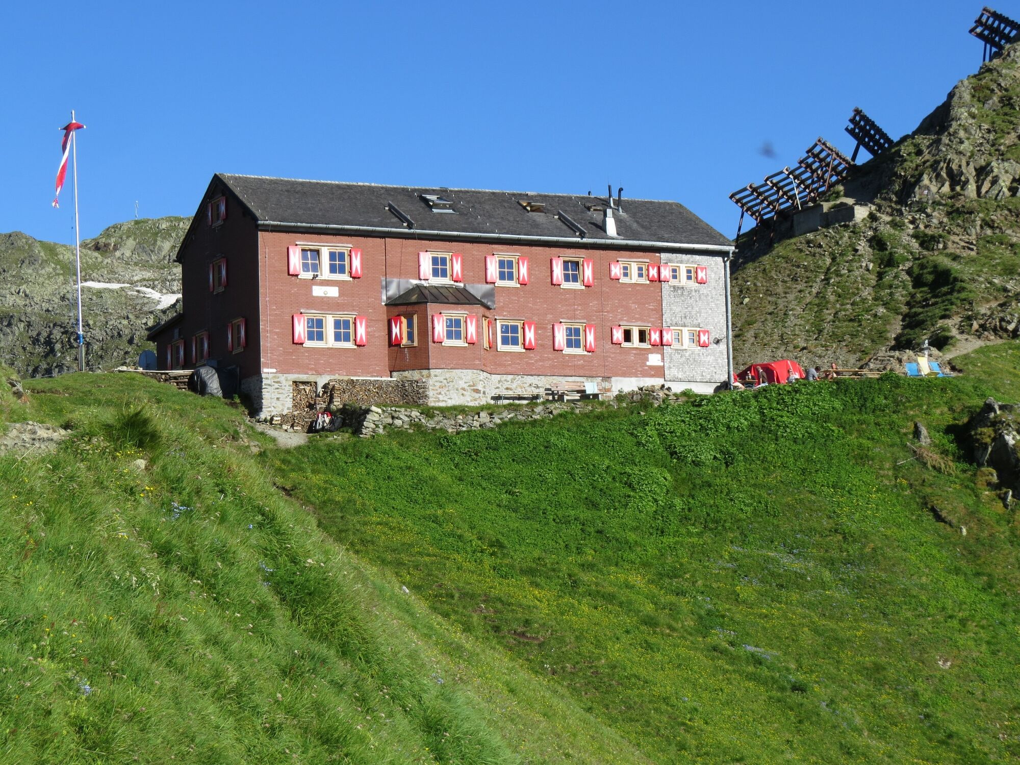
Bergstation Sennigrat Bahn - Wormser Hütte - Kreuzjoch - Grasjoch (Furkla) - Alpguesalpe - Haltestelle Wanderbus in der Nähe der Unteren Gaflunaalpe
- Difficulty
-
medium
- Rating
-
- Route
-
Wormser Hütte0.5 kmKreuzjoch (2,398 m)0.9 kmPanorama Bahn Bergstation1.0 kmGrasjochhütte3.1 km
- Best season
-
JanFebMarAprMayJunJulAugSepOctNovDec
- Highest point
- 2,383 m
- Endpoint
-
Haltestelle Wanderbus, in der Nähe der Unteren Gaflunaalpe
- Height profile
-


-

-
AuthorThe tour Vom Hochjoch über die Alpguesalpe ins Silbertal is used by outdooractive.com provided.
GPS Downloads


General info
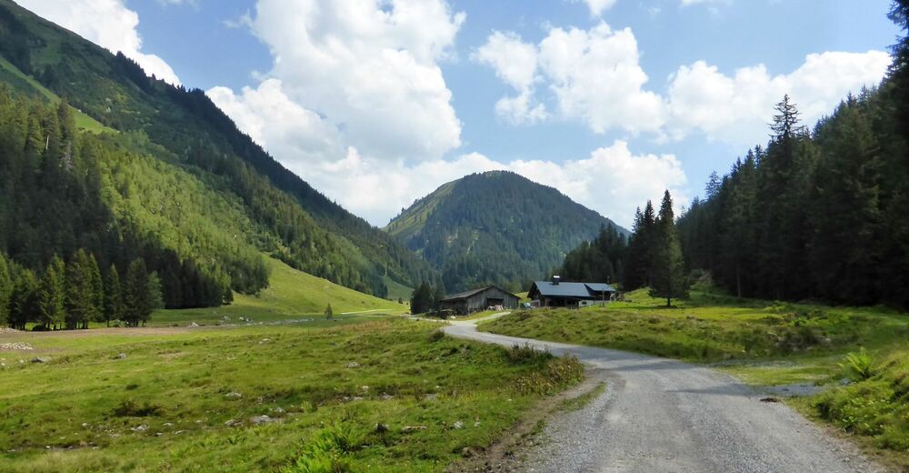
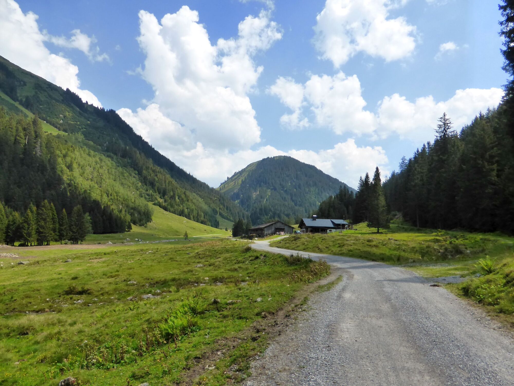
Refreshment stop
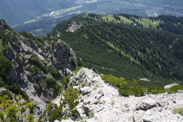
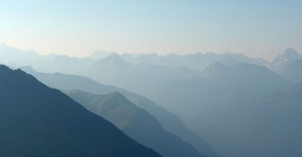
A lot of view
Other tours in the regions
-
Montafon
1382
-
Silbertal - Kristberg
486