


- Brief description
-
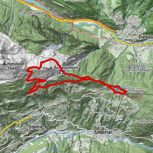
Kristberg cable-car mountain terminal - Kristbergsattel - Silbertal forest school - Ganzaleita - Falla - Küngsmaisäss - Obere Wies - Coral Reef - Gässtuala - Amas-Legi - Fulateia - Ganzaleita - Silbertal forest school - St Agatha miners’ chapel - Kristberg cable-car mountain terminal
- Difficulty
-
medium
- Rating
-
- Starting point
-
Kristberg cable-car mountain terminal
- Route
-
Kristbergbahn0.0 kmInnerkristberg0.6 kmFalle (1703m) (1,686 m)2.7 kmKnappenkirche St. Agatha10.1 kmInnerkristberg10.2 kmPanoramagasthof Kristberg (1,443 m)10.3 kmKnappastoba10.5 kmKristbergbahn10.6 km
- Best season
-
JanFebMarAprMayJunJulAugSepOctNovDec
- Description
-
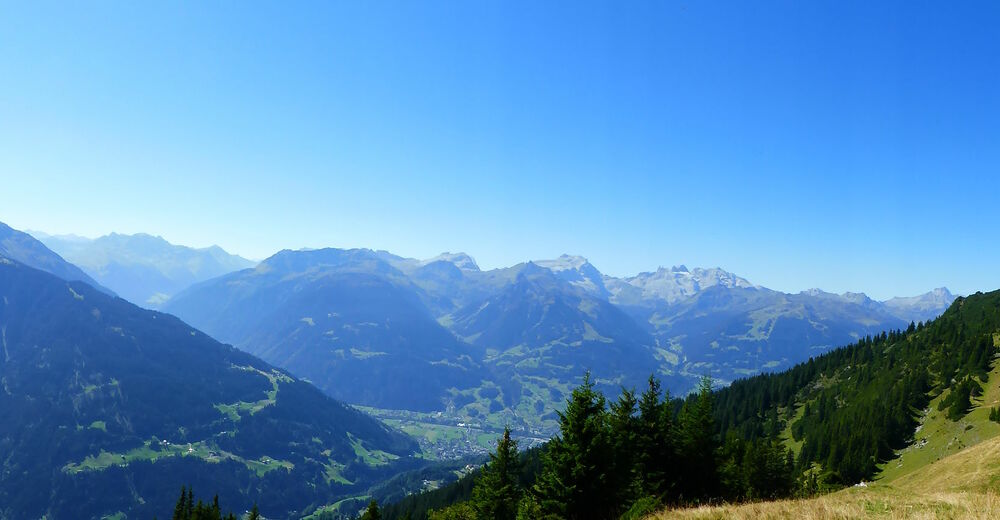
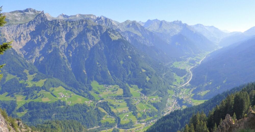
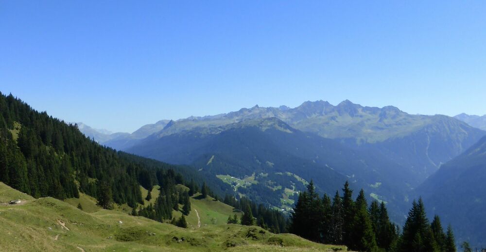
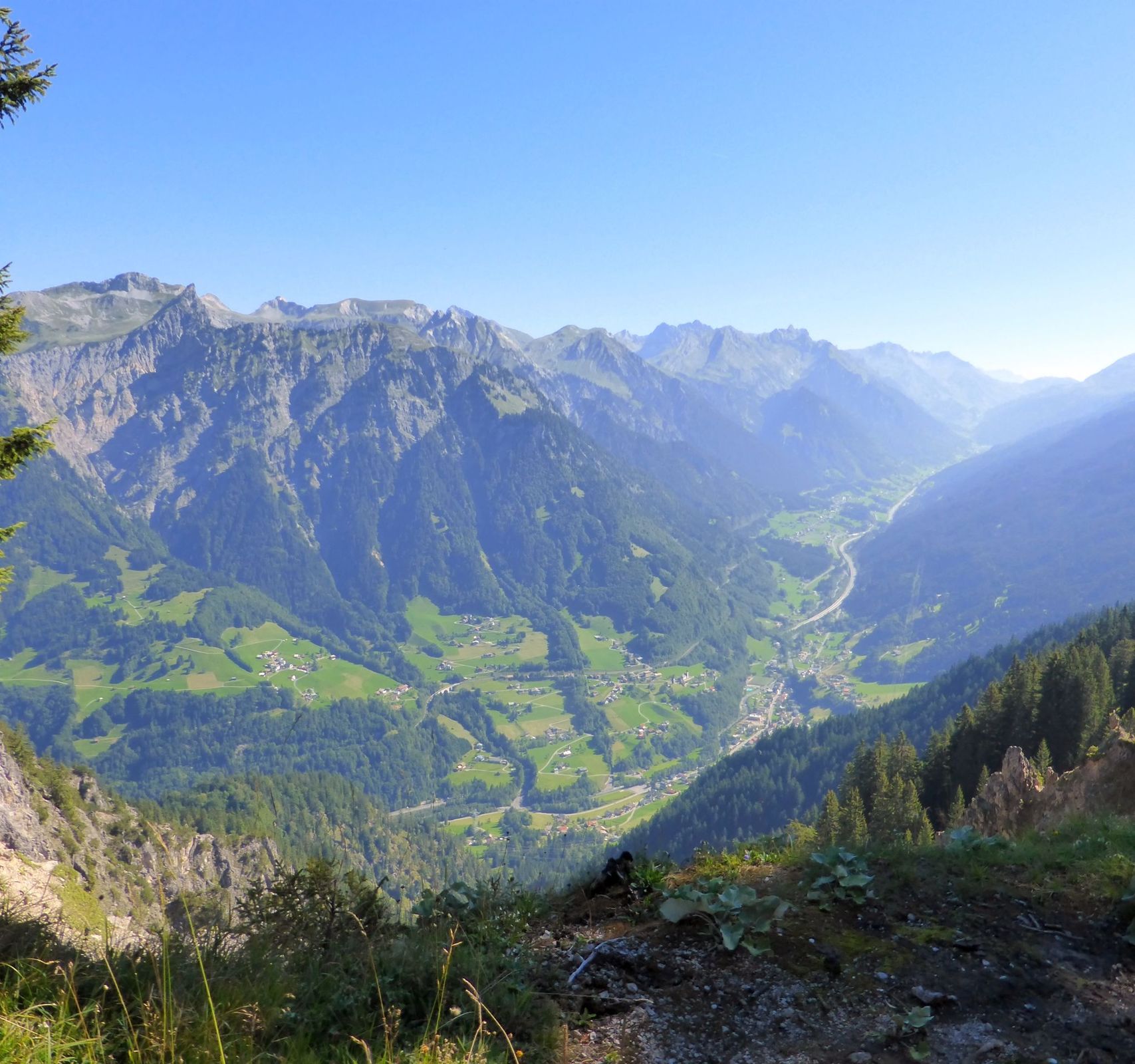
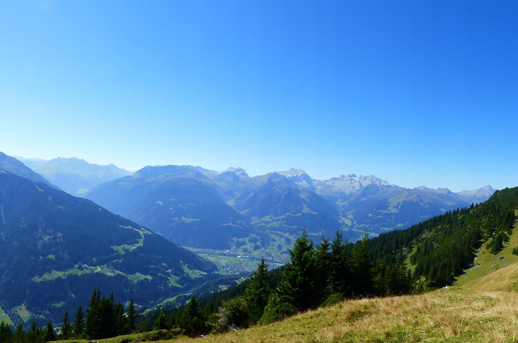
Excellently positioned, Kristberg offers one of the most scenic mountain settings in Montafon. The view of Montafon’s iconic “Three Towers” landmark alone makes Kristberg a place well worth visiting, but there is a wide choice of attractive hikes to boost.
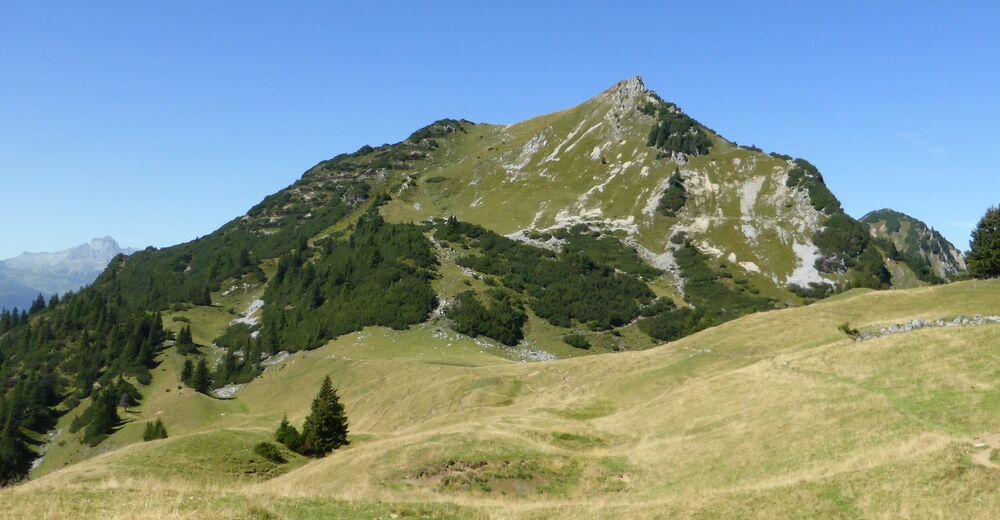
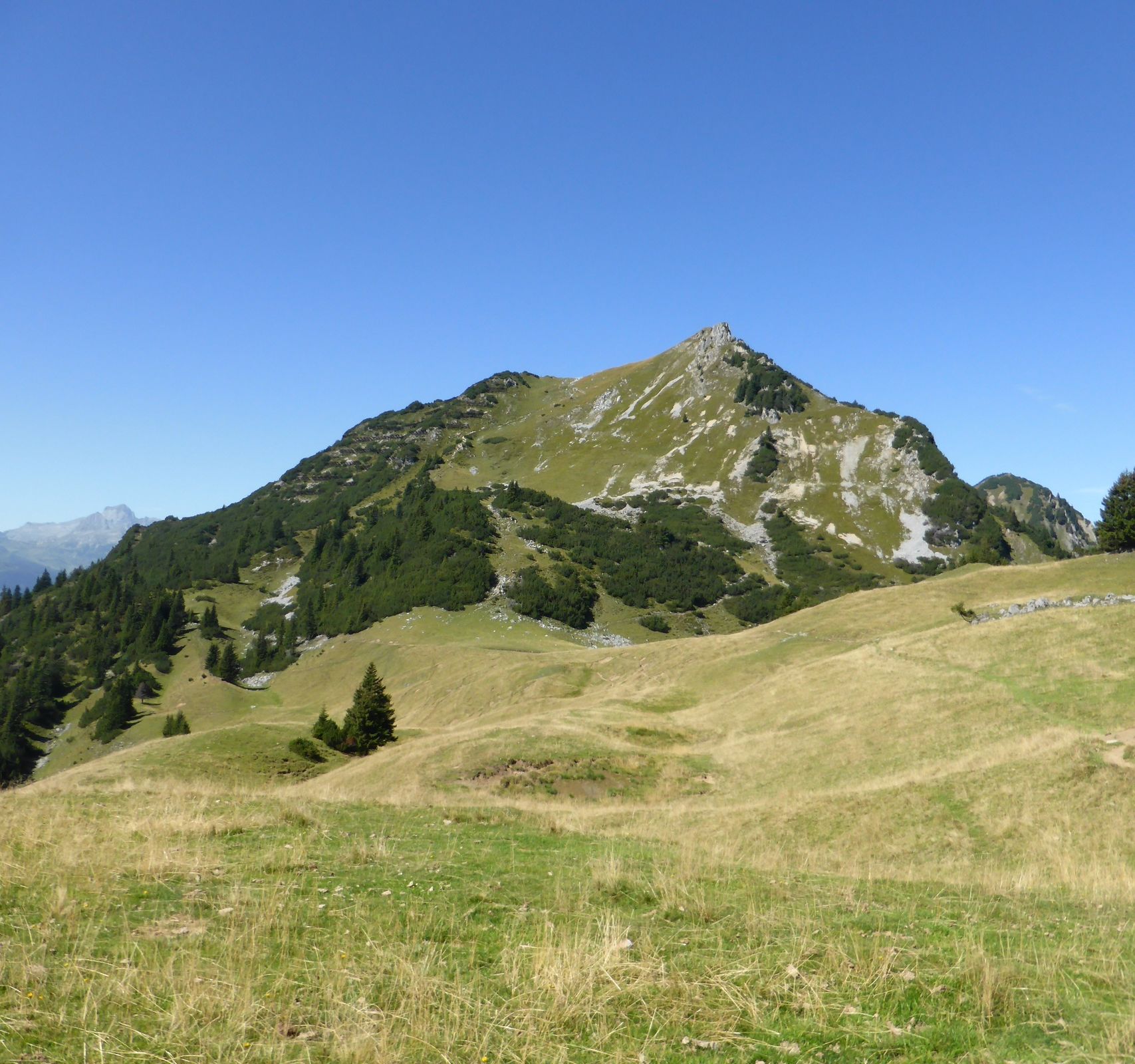
The Coral Reef
It was some 200 million years ago, in the Triassic period, that a splendid coral reef developed in a flat and shallow sea. Now, mountain-forming processes later, a small remainder of that reef is still visible as a rocky ridge overlooking green Alpine pastures on “Obere Wies” to the west of Kristberg saddle near the Schwarzhorn mountain peak.
- Directions
-
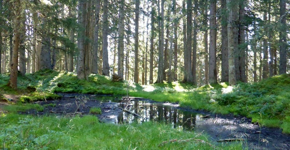
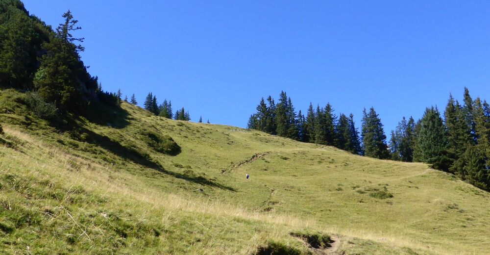
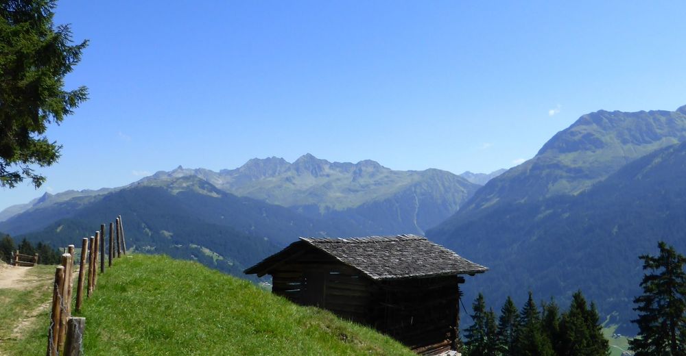
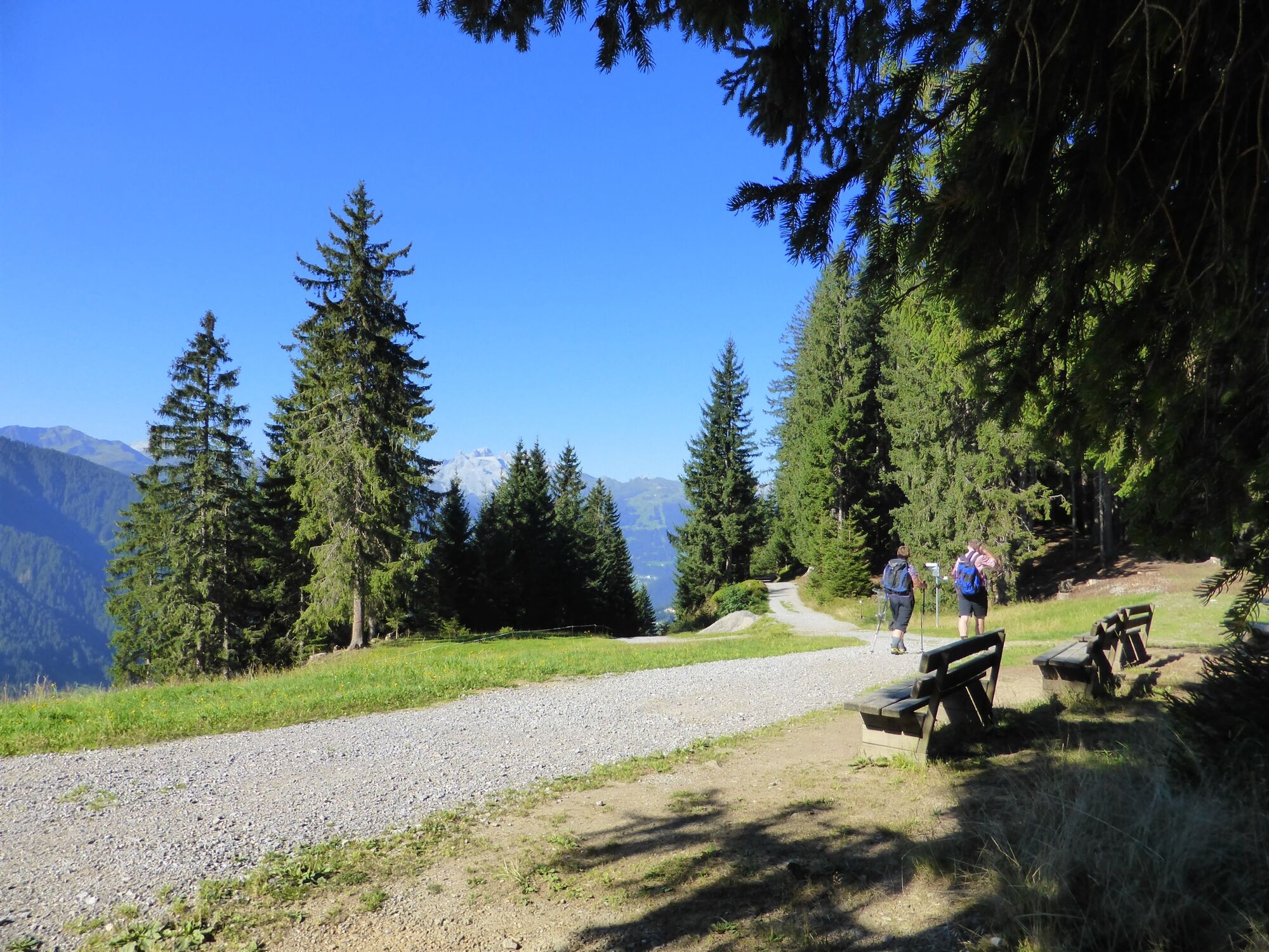
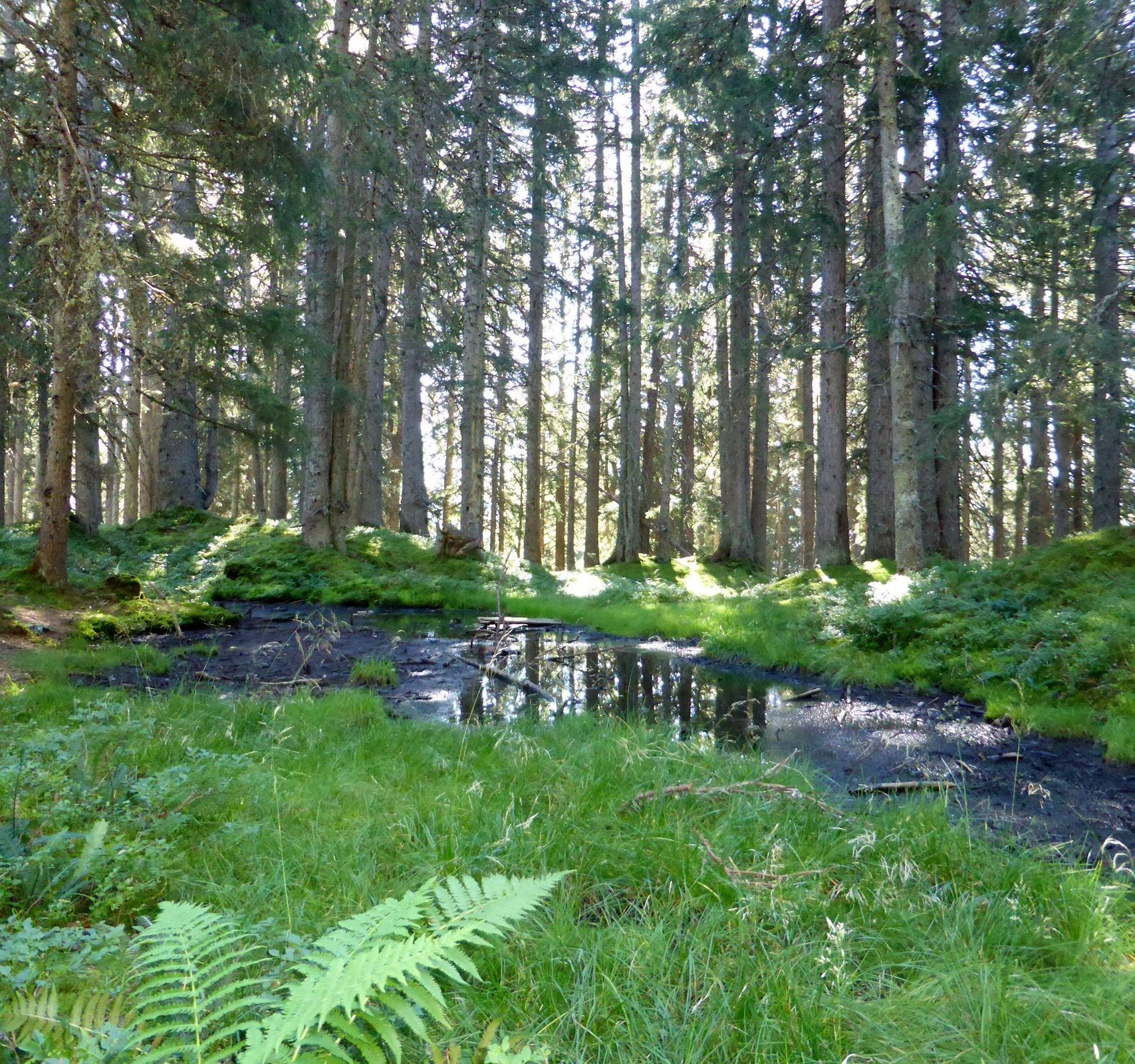
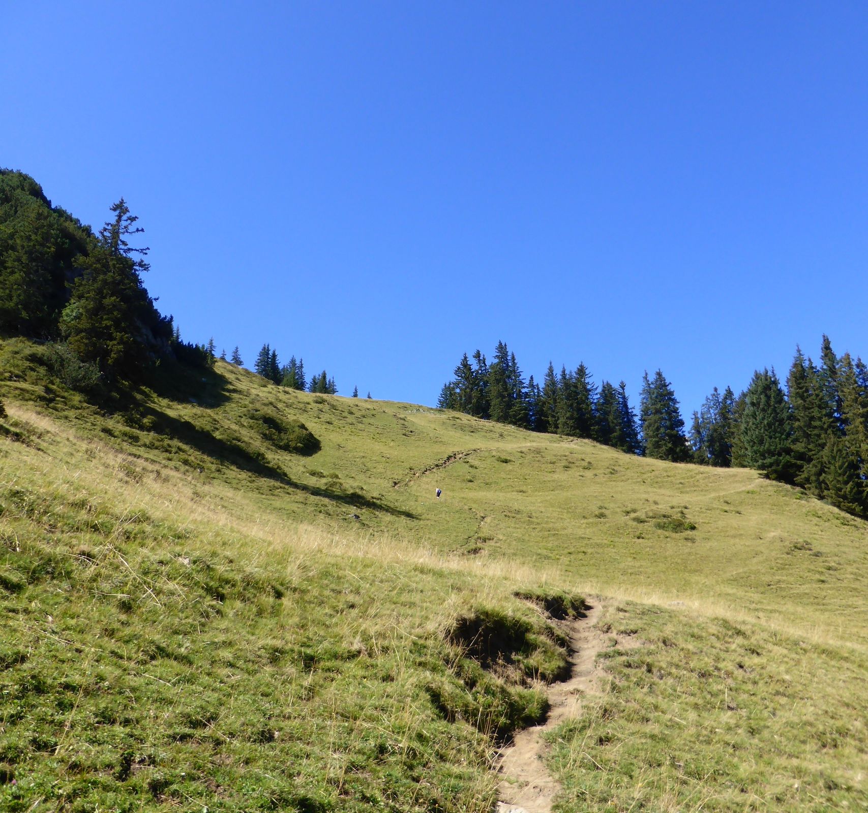
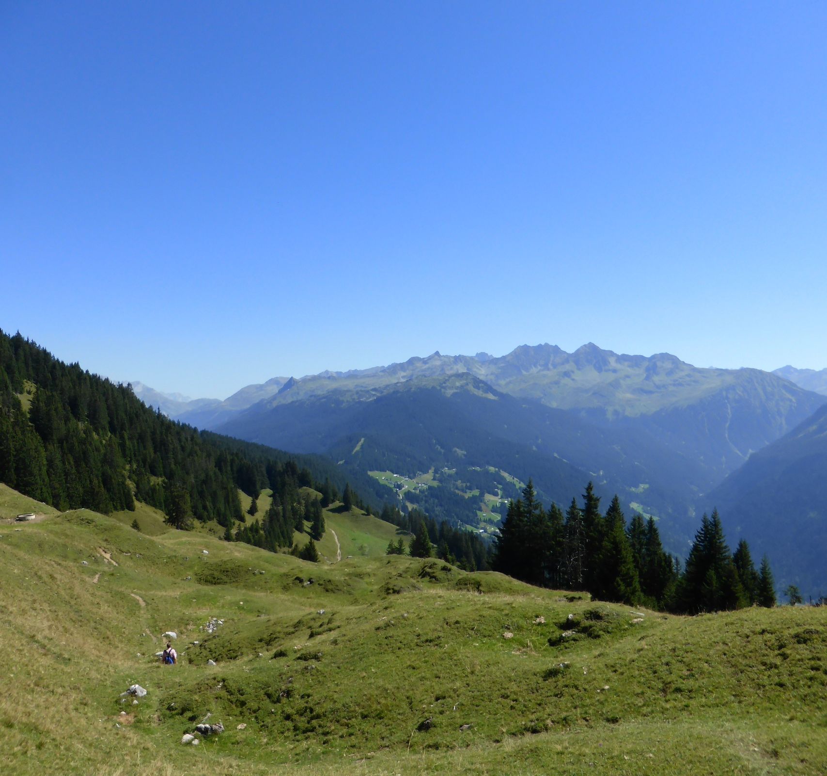
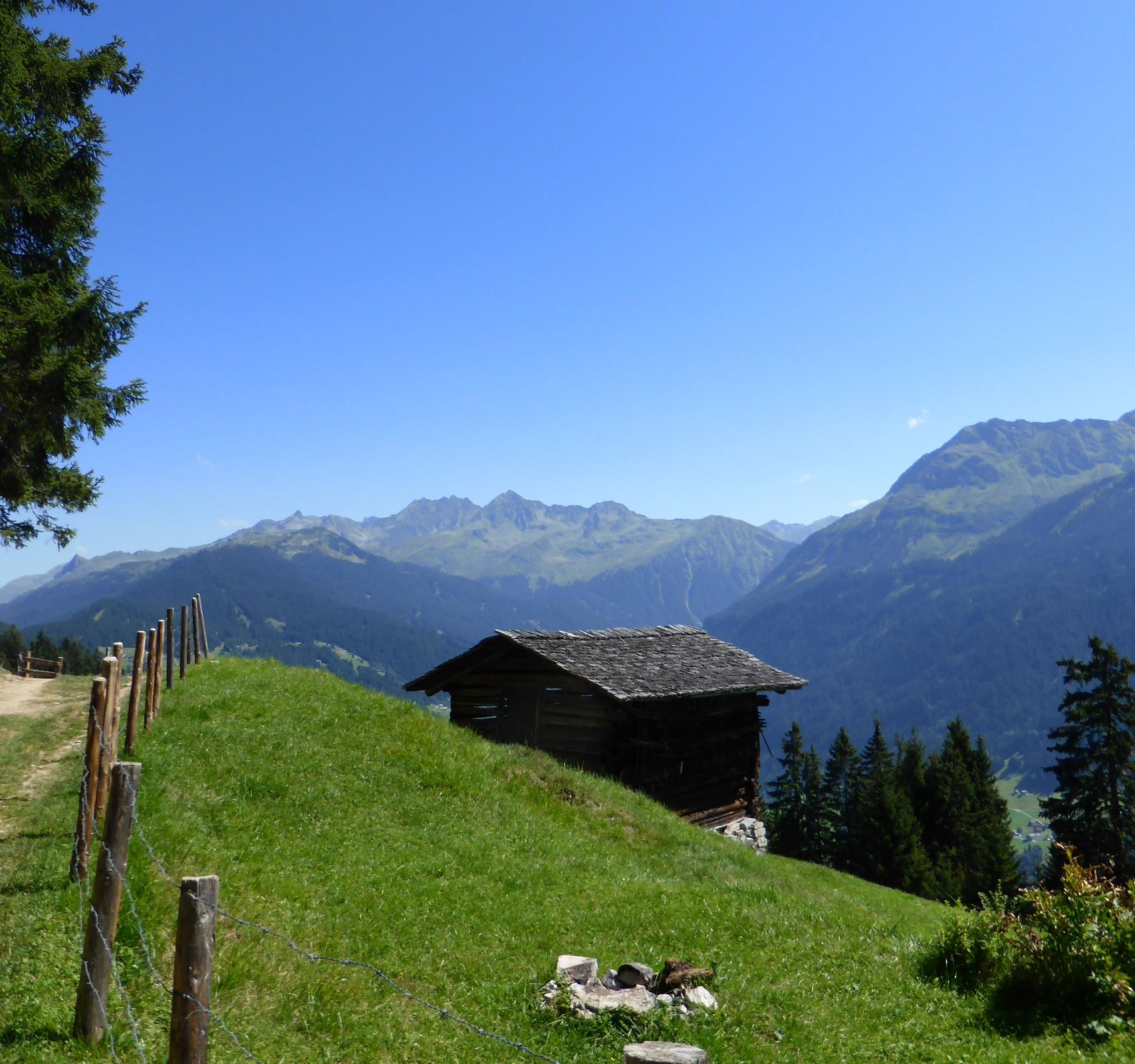
The Kristberg cable-car will take care of elevation gain on the first leg of your trip. From the mountain terminal, a part of the Knappa trail leads up somewhat steeply to Kristberg saddle through a forest area. Onward from Kristberg saddle, a wide path passes the Silbertal forest school educational project, followed by the next ascent, which, though steep, is fortunately relatively brief. Then the route continues to climb gently through woodland, passing ponds and some small lakes, depending on the level of dryness, before it reaches the first turnoff to Ganzaleita. Follow the signposts towards the Ganzaleita lookout, with the trail at first leading upwards over roots and through wooded sections before reaching a clearing. Then follow the meadow trail heading towards Falla, slightly uphill. A little later, you will be zig-zagging up the mountain fully exposed to the sun, following the trail directly along the slope and partly along the ridge. A fence has been set up for extra safety. The next signpost to pay heed to is the one pointing towards “Falla”. The geology educational trail is indicated as well. Follow the signs towards Küngsmaisäss and Alpe Latons. After a short further ascent, the route levels out, taking you around the mountain on the Klostertal side. The next turnoff comes up after 5 to 10 minutes. The last section leading to Obere Wies is another uphill climb: Following a narrow path and crossing a meadow, another 25 to 30 minutes will take you to Obere Wies at the foot of Alpilakopf, with Itonskopf right behind it. From here, the route follows the meadow trail towards Alpilakopf. Keep left at the turnoff and start your descent via the Coral Reef. After about 15 minutes, the trail forks again: Keep walking towards Falla. Once you have reached the next turnoff, you have arrived in the Gässtuala area. Of course you could turn left here and hike back to where you came from via Falla and Ganzaleita. We recommend picking up the trail on the right leading towards Lake Fritzen, not only to avoid taking more or less the same route back to Kristberg, but also because the descent via Falla is on relatively slippery, rocky terrain. Hiking downhill you will reach the area of Amas-Legi. At Amas-Legi, turn left and follow the wide path towards Fulateia, passing several traditional alpine pasture huts along the way. It takes about an hour to reach Kristberg saddle from Amas-Legi. From Panoramagasthof Kristberg, it is only about 5 more minutes to the mountain terminal of the Kristberg cable-car (starting point).
- Highest point
- 1,874 m
- Endpoint
-
Kristberg cable-car mountain terminal
- Height profile
-

- Equipment
-
Sturdy boots; poles recommended. Take enough to drink along with you - there are no mountain springs along the way. On hot days, it is advisable to wear some kind of headgear.
- Safety instructions
- Arrival
- Public transportation
-
Why not leave your car behind?
The Montafonerbahn regional buses cover all of Montafon. The main lines depart from the Schruns railway station at hourly intervals.
The 88 bus takes you to Silbertal from the Schruns railway station. Get off at the “Kristbergbahn” stop.
To get back again
Take the 88 bus from Silbertal back to the Schruns railway station.
By rail
The Montafonerbahn railway runs every hour (sometimes every 30 minutes) from the Bludenz railway station. Direct transfer available also from Lindau in Germany or from Bregenz.
- Parking
-
You will find parking spaces at the Kristberg cable-car valley terminal (fees apply in the summer). Before going up in the cable-car, you can get a small refund on the parking ticket at the cable-car ticket office.
-

-
AuthorThe tour From Kristberg to Obere Wies and back via the Coral Reef is used by outdooractive.com provided.


General info
-
Klostertal
1788
-
Silbertal - Kristberg
485


