

© Alpenregion Bludenz Tourismus GmbH - Melanie Fleisch

© Alpenregion Bludenz Tourismus GmbH - Melanie Fleisch

© Alpenregion Bludenz Tourismus GmbH - Melanie Fleisch

© Alpenregion Bludenz Tourismus GmbH - Melanie Fleisch

© Alpenregion Bludenz Tourismus GmbH - Melanie Fleisch

© Alpenregion Bludenz Tourismus GmbH - Melanie Fleisch

© Vorarlberg Tourismus GmbH
- Brief description
-
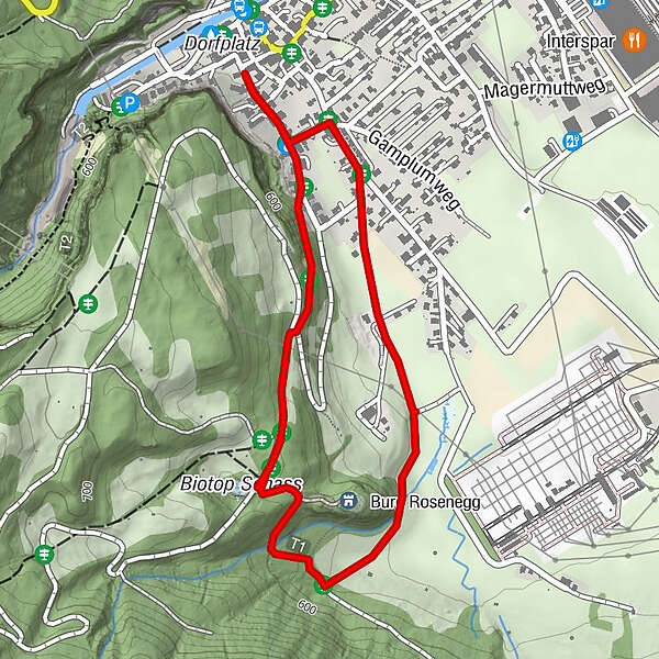
Easy circular hike to the biotope and the ruins of Rosenegg Castle in Bürs.
- Difficulty
-
easy
- Rating
-
- Starting point
-
Municipal office, Bürs
- Route
-
BürsBludenz2.2 kmPfarrkirche St. Martin2.6 km
- Best season
-
JanFebMarAprMayJunJulAugSepOctNovDec
- Description
-
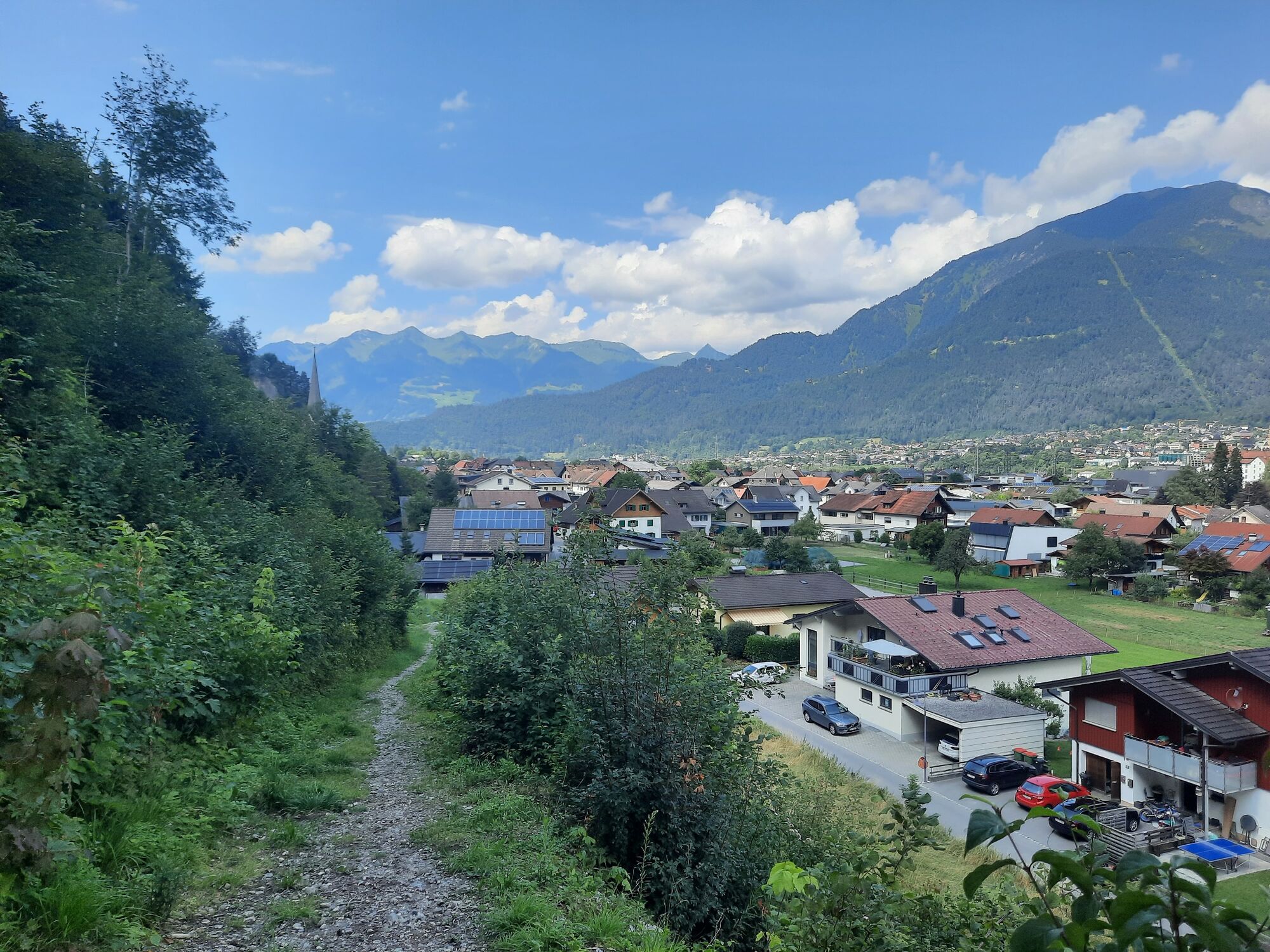
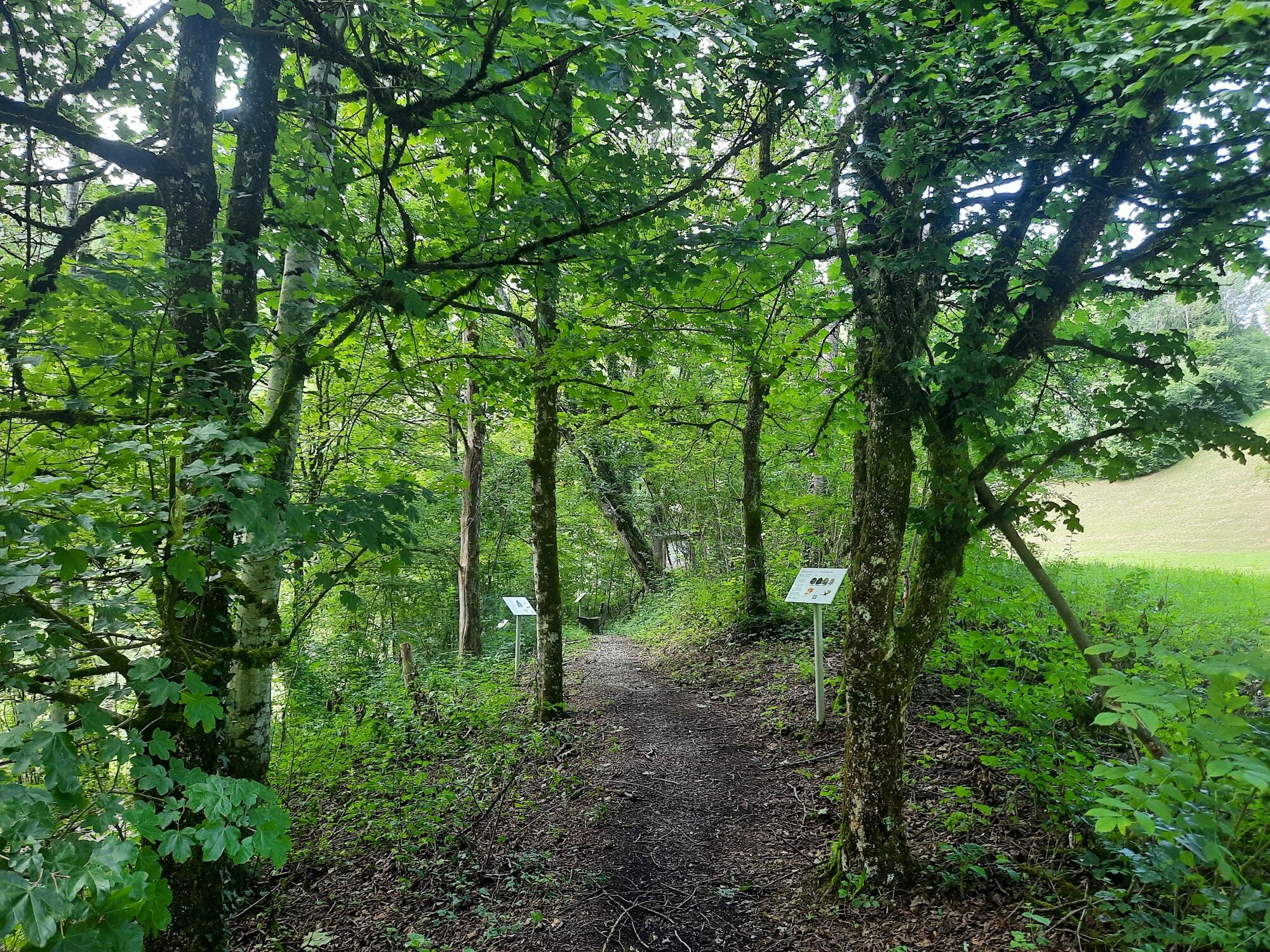
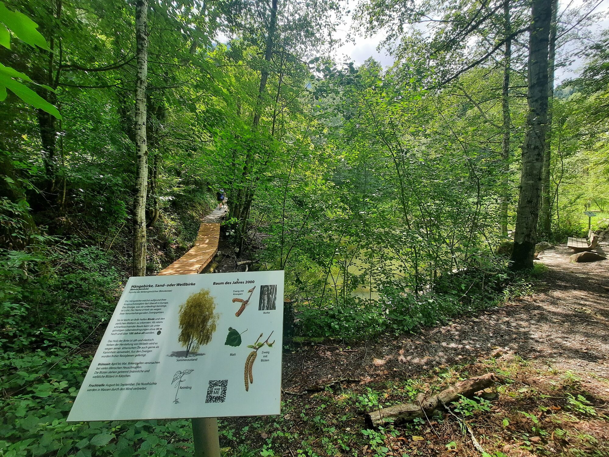
The tour starts at the municipal office in Bürs, past St. Martin's Church and along Obergasse to the turnoff into Schassweg. Here the trail branches off to the right. Via a forest path and further along a forest road, the route now goes briefly uphill towards Schasswiesen - small wooden huts - and on to the biotope. The short circular path around the biotope has been newly prepared and the benches invite you to linger. Return along the forest road to Rosenegg Castle. In front of the entrance gate of the ruins, follow the forest path to the right and hike downhill for a short distance. At the bottom, the path joins Hinterburgweg and you return via Werkstraße to the municipal office.
Alternative way back: Choose the same route as the ascent.
- Directions
-
Municipal office Bürs - Martin's Church - Obergasse - Schassweg (forrest path and forrest road) - Biotop - Rosenegg Castle - forrest path - Hinterburgweg - Werkstraße - municipal office Bürs
- Highest point
- 630 m
- Endpoint
-
Municipal office, Bürs
- Height profile
-

- Equipment
-
Ankle hight mountain boots, warm clothing, rain and sun protection and hiking poles are recommended. Cell phone for emergencies.
- Safety instructions
- Tips
-
Rosenegg Castle was built in the middle of the 13th century by the Counts of Werdenberg-Heiligenberg. Today, the Rosenegg ruins can only be admired from the outside.
- Public transportation
- Parking
-
Municipal office, Bürs


- Author
-
The tour Circular trail "Biotop Schloss Rosenegg" | Bürs is used by outdooractive.com provided.
GPS Downloads


General info
Refreshment stop
Cultural/Historical
Other tours in the regions
-
St. Gallen - Bodensee
2067
-
Alpenstadt Bludenz
1848
-
Bürs
489


