
© Damüls - Faschina Tourismus - Matthias Greilach

- Brief description
-
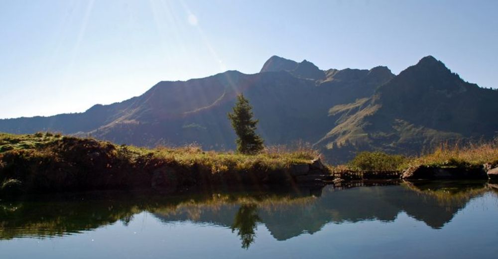
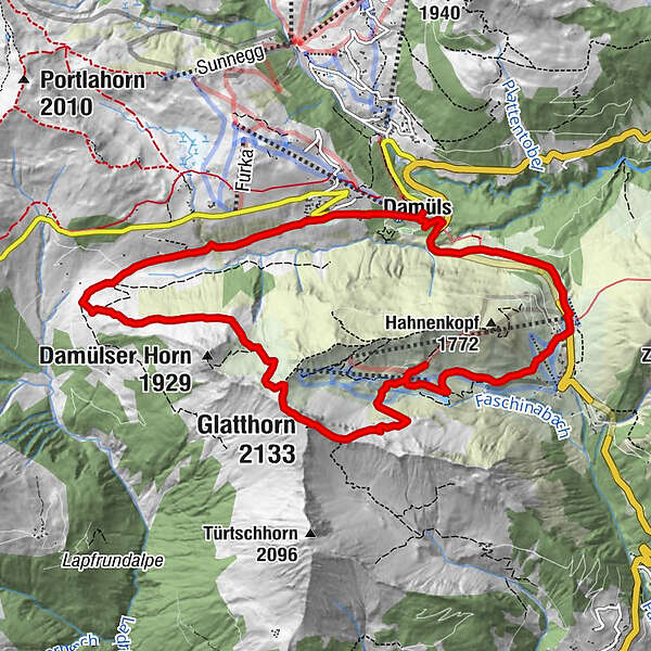
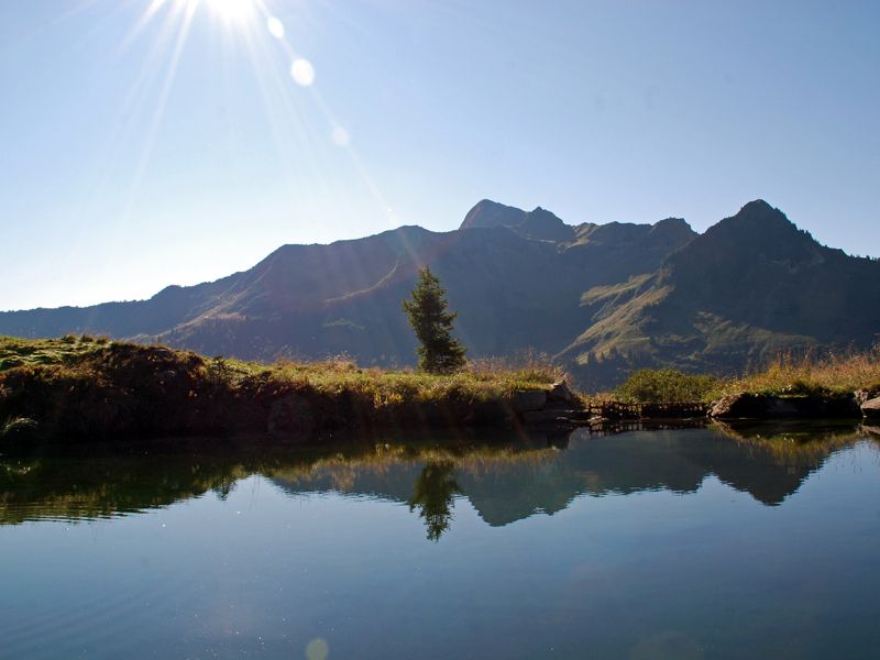
Damüls - Alpe Unterdamüls - Glatthorn - Stafelalpe - Faschina - Damüls
- Difficulty
-
difficult
- Rating
-
- Route
-
Damüls (1,423 m)Alpe Unterdamüls2.8 kmGlatthorn (2,133 m)5.6 kmFranz-Josef-Hütte7.3 kmFaschina9.3 kmDamüls (1,423 m)11.6 km
- Best season
-
JanFebMarAprMayJunJulAugSepOctNovDec
- Highest point
- 2,121 m
- Endpoint
-
Damüls Kirchdorf
- Height profile
-

- Author
-
The tour Über die Unterdamülser Alpe auf's Glatthorn is used by outdooractive.com provided.
GPS Downloads


General info
Refreshment stop
Insider tip
Flora
A lot of view
Other tours in the regions
-
St. Gallen - Bodensee
2066
-
Biosphärenpark Großes Walsertal
2010
-
Damüls
577


