


- Brief description
-
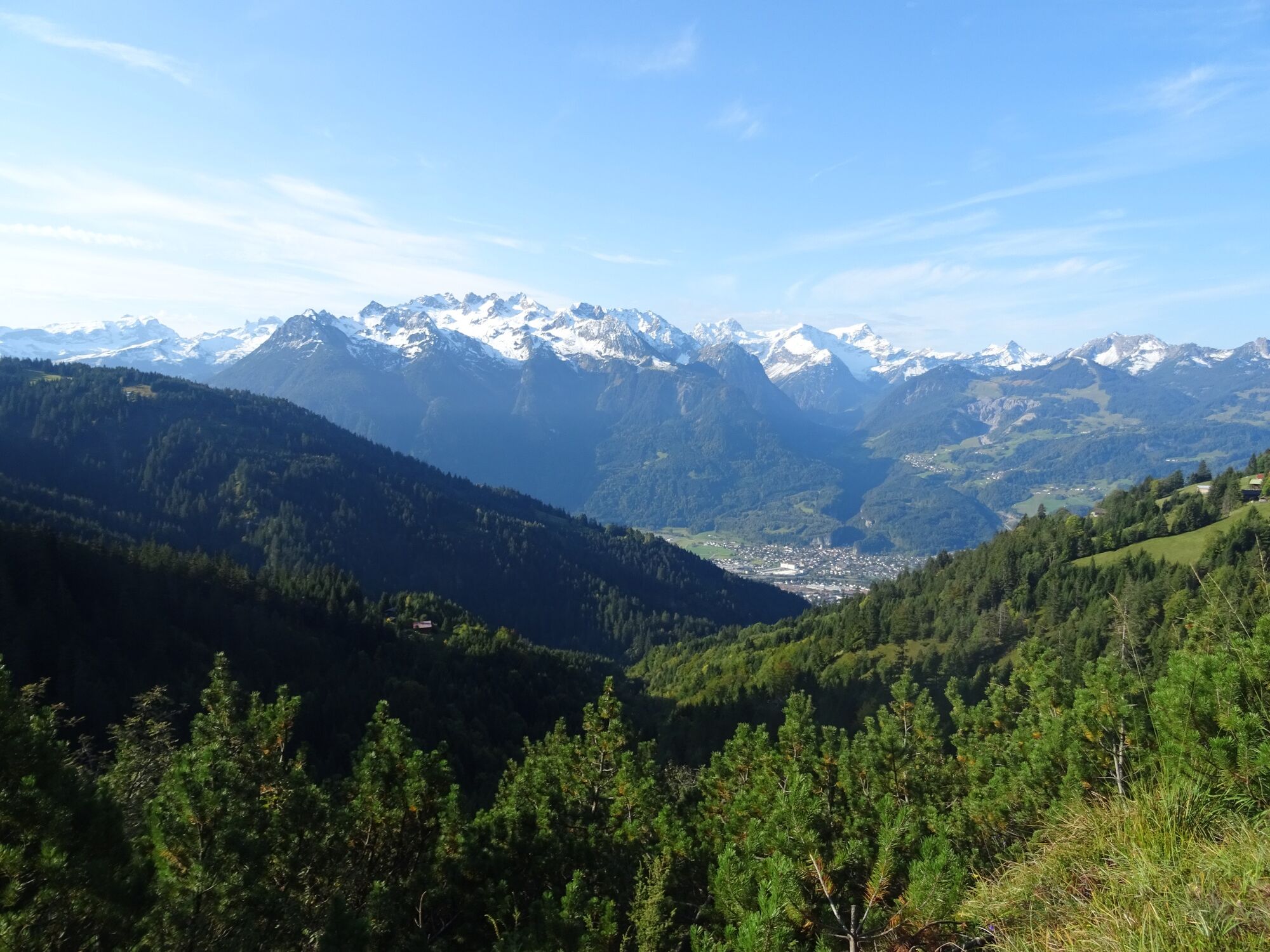
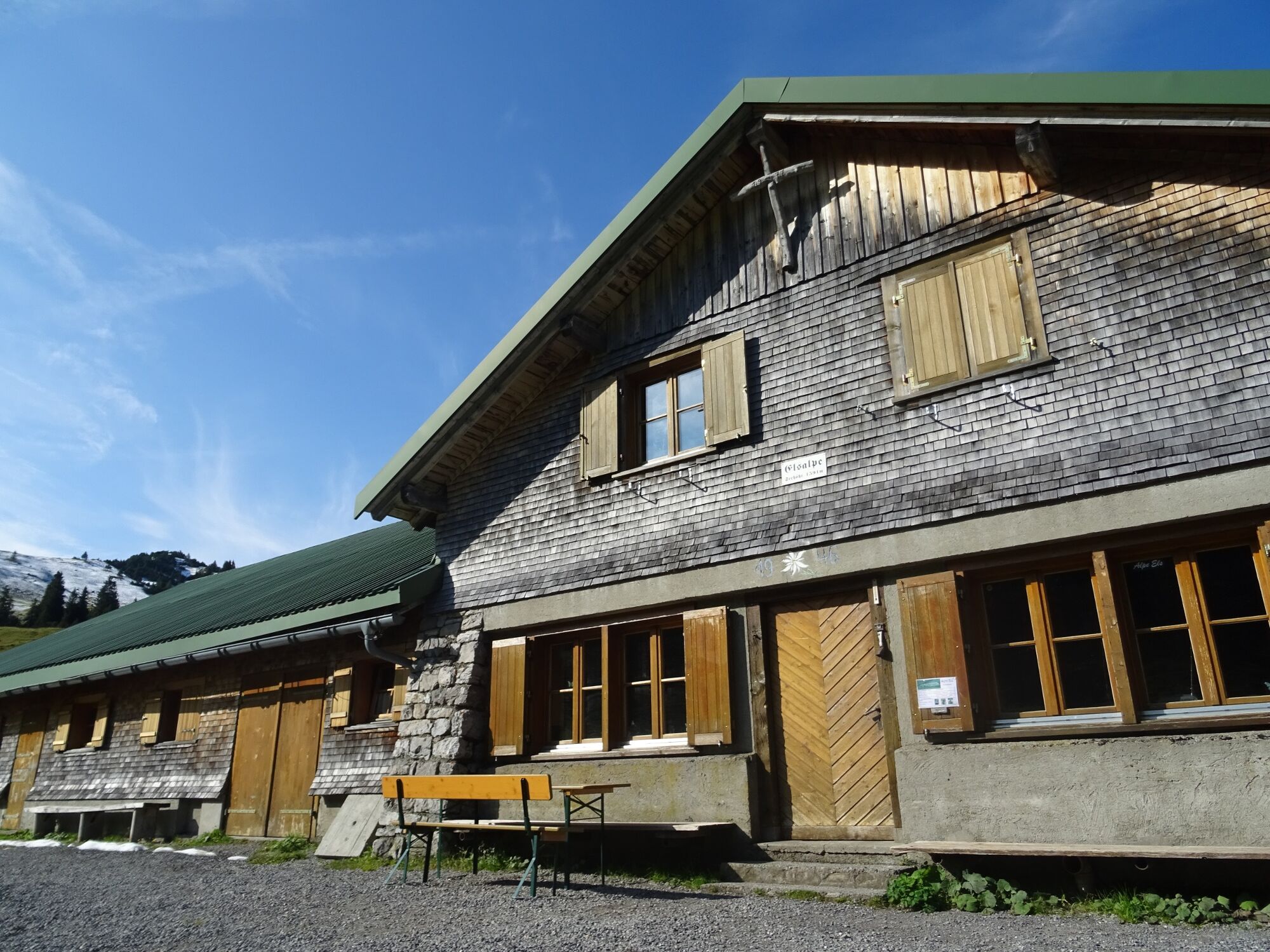
Hike to the idyllic Alpe Els, situated under the Gamsfreiheit. A refreshment stop is worthwhile!
- Difficulty
-
medium
- Rating
-
- Starting point
-
Muttersberg cable car mountain station, Bludenz
- Route
-
Madeisakopf (1,402 m)0.0 kmMuttersberg0.6 kmTiefenseesattel (1,562 m)3.4 kmEls Alpe5.7 kmTiefenseesattel (1,562 m)7.9 kmMuttersberg10.8 kmMadeisakopf (1,402 m)11.5 km
- Best season
-
JanFebMarAprMayJunJulAugSepOctNovDec
- Description
-
From the mountain station of the Muttersberg cable car, a road leads to the Tiefenseesattel. On a gentle incline - with a magnificent view of the surrounding mountains - the trail continues to the farmed Alpe Els. The idyllically situated alpine pasture below the Gamsfreiheit is a popular destination for hikers and mountain bikers. Delicious alpine products invite you to enjoy and linger. The way back follows the same route.
- Directions
-
Muttersberg cable car mountain station - goods path to Tiefenseesattel - continue to Alpe Els - Alpe Els - optional: ascent to Elser Fürkele - same route back
- Highest point
- 1,597 m
- Endpoint
-
Muttersberg cable car mountain station, Bludenz
- Height profile
-

- Equipment
-
Ankle-high mountain boots with treaded soles, sun and rain protection, snack, filled water bottle and first aid kit. Mobile phone for emergencies.
- Safety instructions
- Tips
-
For those who still have some condition, a short ascent (approx. 45 min.) to the Elser Fürkele is worthwhile. A sensational view of the Rätikon mountains and the valley awaits you. Back on the same way!
- Directions
- Public transportation
- Parking
-
Parking place at the valley station Muttersberg cable car


- Author
-
The tour Muttersberg - Alpe Els | Bludenz is used by outdooractive.com provided.


General info
-
St. Gallen - Bodensee
2070
-
Alpenstadt Bludenz
1849
-
Muttersberg - Bludenz
499


