- Brief description
-
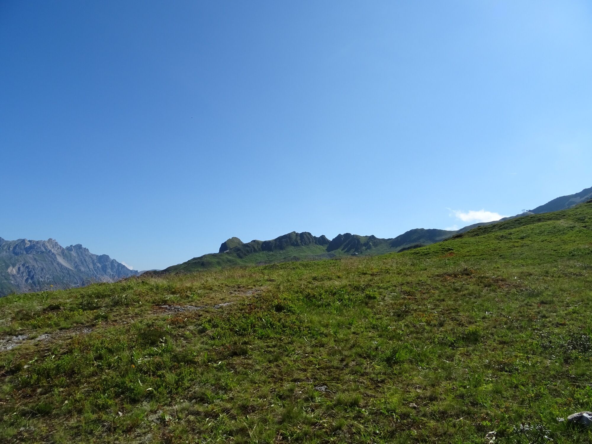
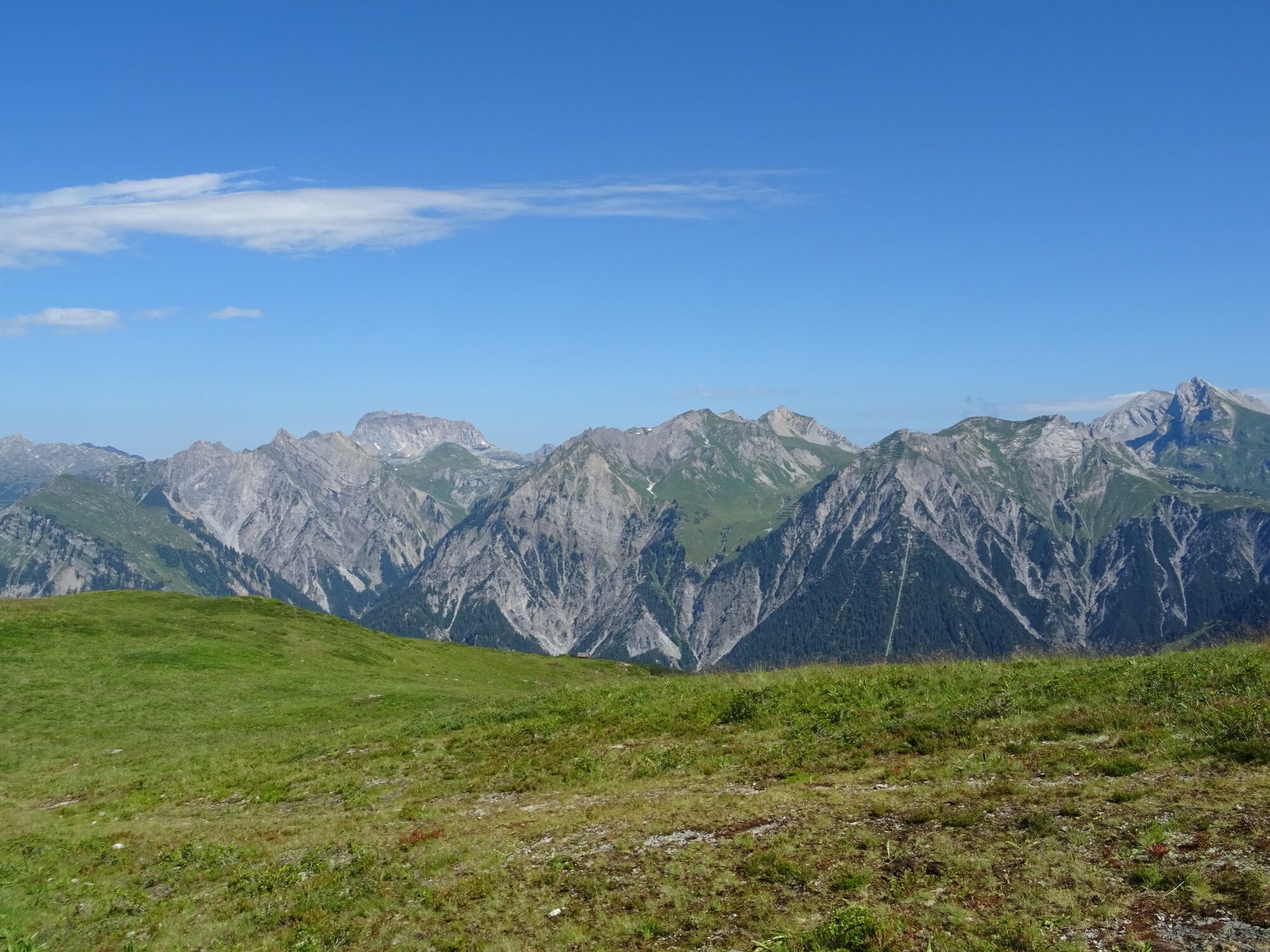
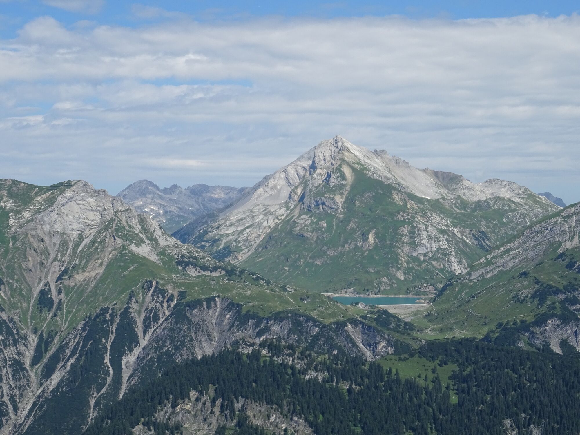
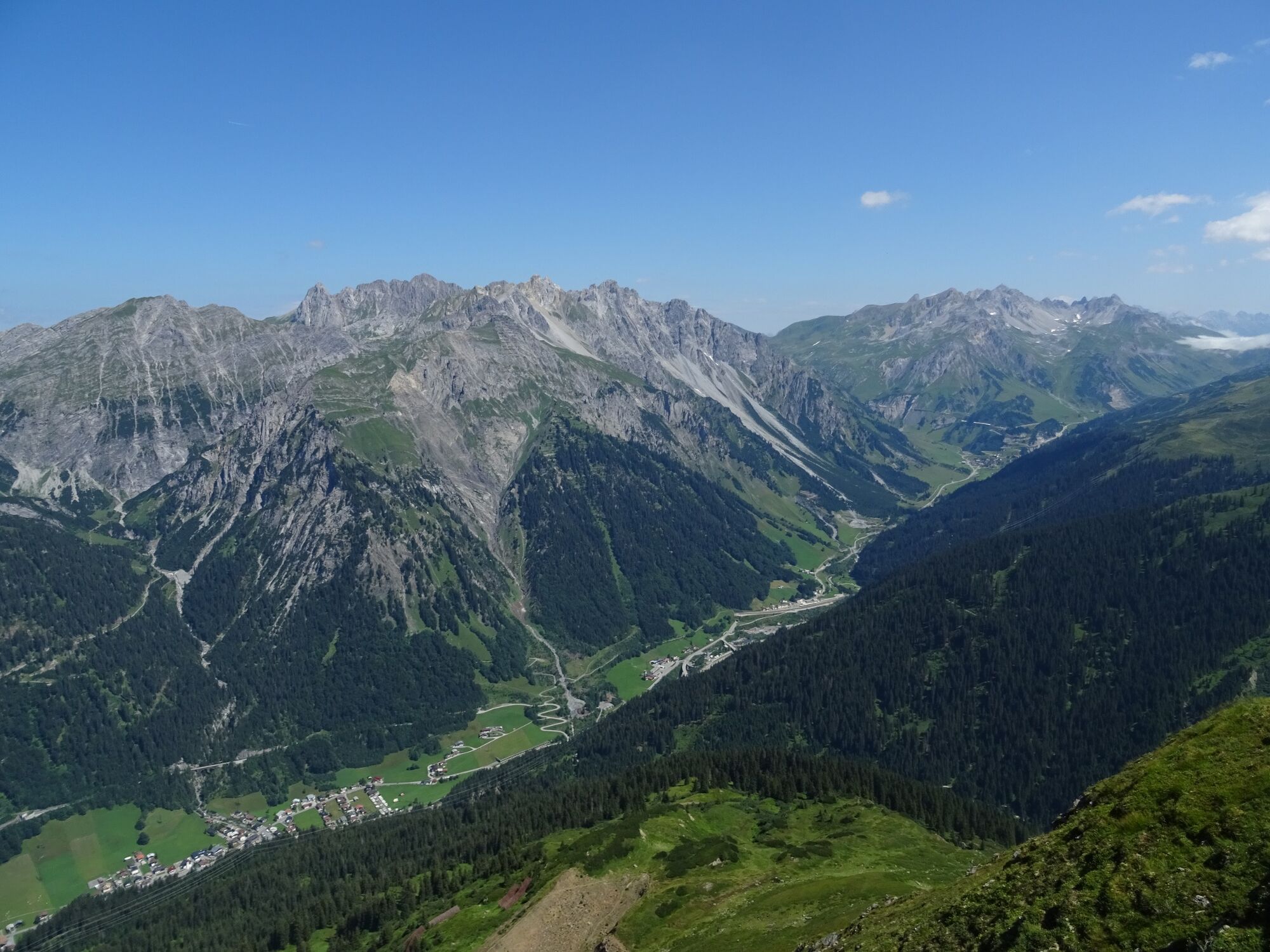
Enjoy a fabulous panoramic view on the Burtschakopf at 2,244 m above sea level.
- Difficulty
-
medium
- Rating
-
- Starting point
-
Sonnenkopf cable car mountain station, Klösterle am Arlberg
- Route
-
Bettler Älpele0.2 kmSonnenkopf (1,855 m)0.2 kmBurtschakopf (2,244 m)3.7 kmBettler Älpele10.1 kmObermuribahn (1,834 m)10.1 kmVerbindungslift10.4 km
- Best season
-
JanFebMarAprMayJunJulAugSepOctNovDec
- Description
-
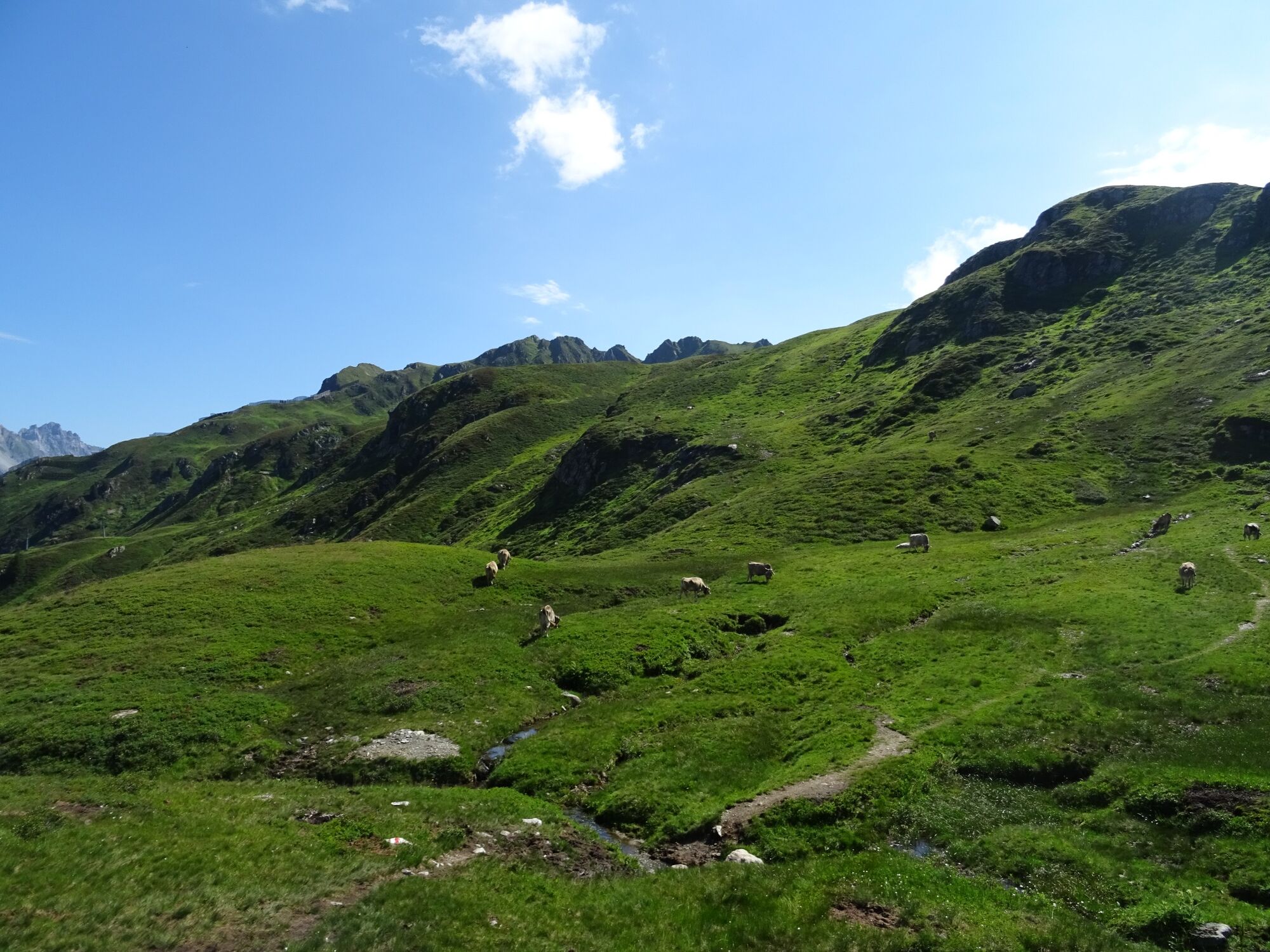
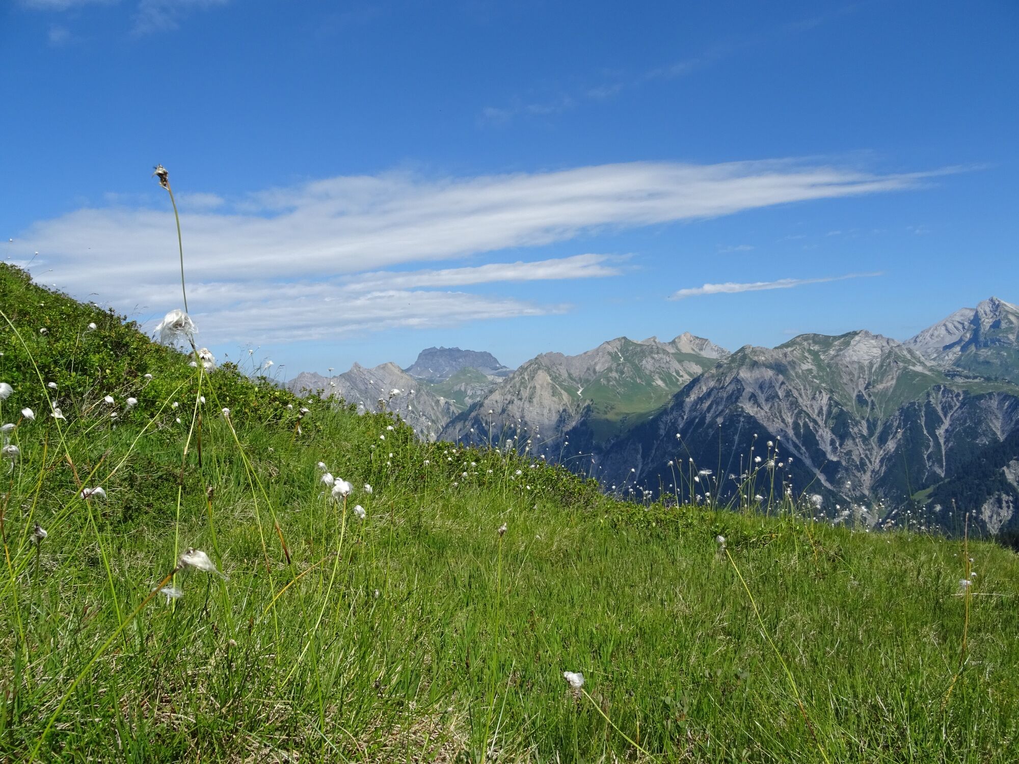
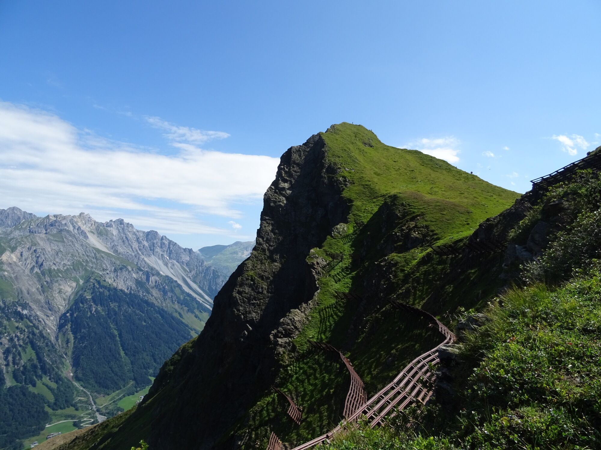
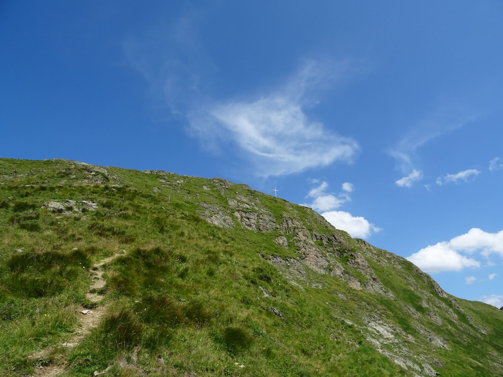
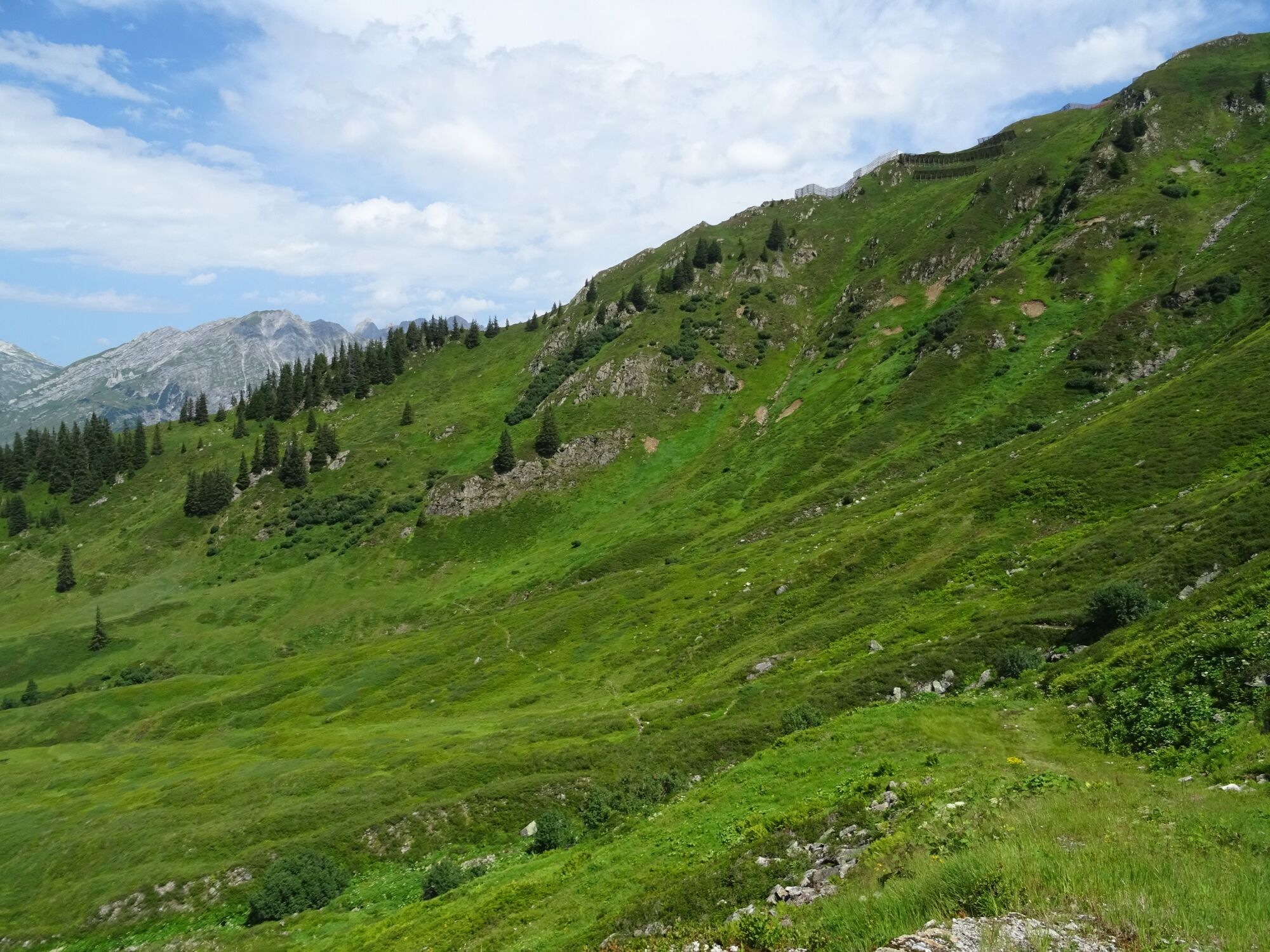
The start of the tour is at the mountain station of the Sonnenkopf cable car. From here, follow the signposts and trail markings over the Schloßboden uphill towards the Burtschasattel. This hike is accompanied by sensational panoramic views - Arlberg, Lechquellen mountains, Rätikon and the Swiss mountains always in view. From the Burtschasattel the trail now leads over a steep grassy slope and the secured final ridge to the summit (white-blue-white marking). The last stretch to the summit is very exposed and equipped with a rope belay - therefore only recommended for experienced mountain hikers who are free from vertigo. At the summit you will have a fabulous panoramic view. The descent is via the Thüringer Schafalpe and via the Höhenweg back to the mountain station of the Sonnenkopf cable car.
- Directions
-
Ascent with the Sonnenkopf cable car - Sonnenkopf cable car mountain station - hiking trail towards Schloßboden - Burtschasattel - Burtschakopf, 2,244 m - Thüringer Schafalpe - Höhenweg - Sonnenkopf cable car mountain station.
- Highest point
- 2,231 m
- Endpoint
-
Sonnenkopf cable car mountain station, Klösterle am Arlberg
- Height profile
-

- Equipment
-
Strong footwear, warm clothing, rain and sun protection, snack and filled water bottle as well as hiking poles are recommended. Cell phone for emergencies.
- Safety instructions
- Arrival
-
www.maps.google.at
- Public transportation
-
Bus line 720, stop "Göttschlig"
Timetable query online at fahrplan.vmobil.at
- Parking
-
Sonnenkopf cable car valley station, Klösterle am Arlberg


- Author
-
The tour Burtschakopf, 2.244m | Klösterle am Arlberg is used by outdooractive.com provided.