
© Bodensee-Vorarlberg Tourismus GmbH - Peter Mathis
© Bodensee-Vorarlberg Tourismus GmbH - Friedrich Böhringer
© Vorarlberg Tourismus
© Vorarlberg von Oben

- Brief description
-
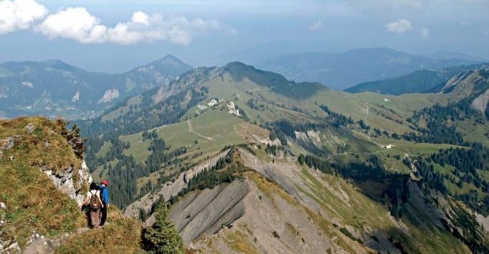
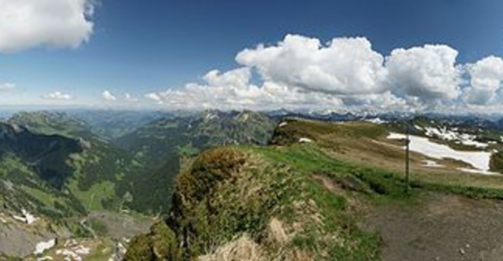
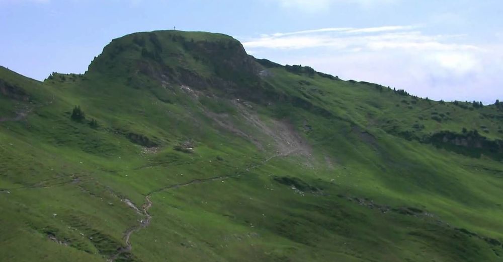
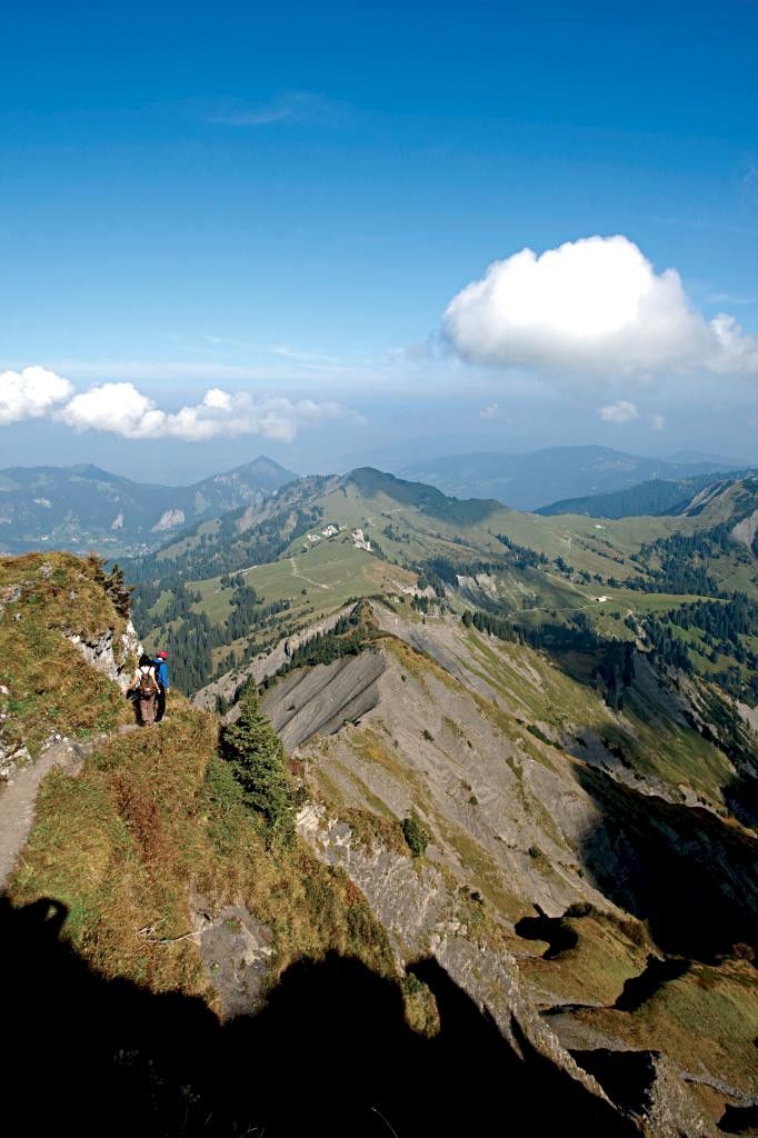
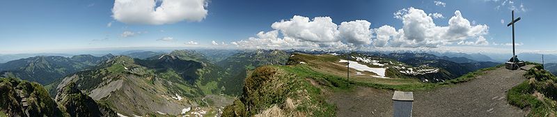
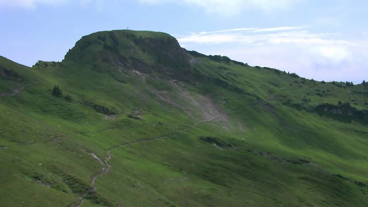
Mehrere Wege führen zum König im Rheintal. Trotz seiner „nur“ 2004 Meter bietet der Hohe Freschen eine unglaubliche Rundumsicht – und bei genauer Betrachtung hat er neben seinen schroffen Seiten auch eine überaus gemütliche Komponente.
- Difficulty
-
difficult
- Rating
-
- Route
-
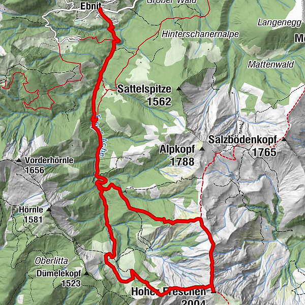
Ebnit (1,075 m)0.0 kmHoher Freschen (2,004 m)7.7 kmValorsalpe10.5 kmEbnit (1,075 m)16.1 km
- Best season
-
JanFebMarAprMayJunJulAugSepOctNovDec
- Highest point
- 1,939 m
- Endpoint
-
Ebnit
- Height profile
-

- Author
-
The tour Hoher Freschen is used by outdooractive.com provided.
GPS Downloads


General info
Refreshment stop
A lot of view
Other tours in the regions
-
St. Gallen - Bodensee
2065
-
Alpenregion Vorarlberg
1771
-
Laterns-Gapfohl
442


