


- Brief description
-
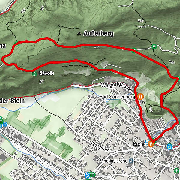
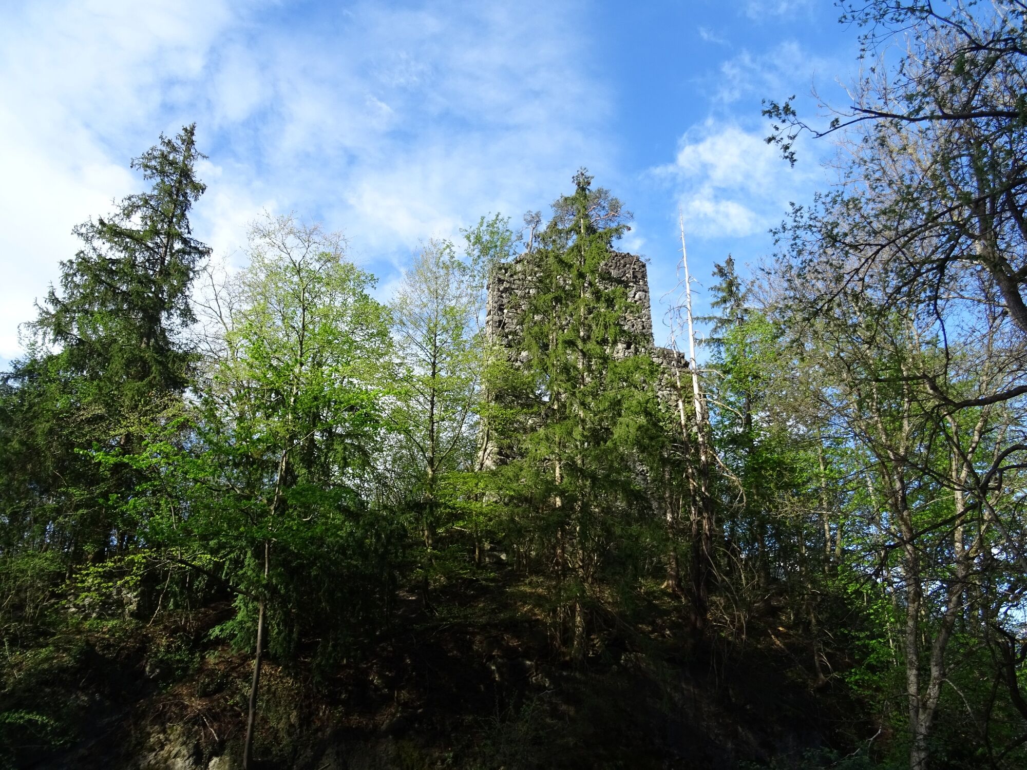
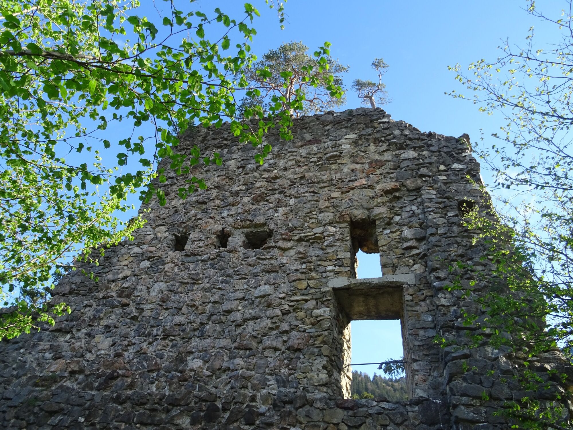
A scenic hiking trail above Nüziders, past the Sonnenberg ruin.
- Difficulty
-
easy
- Rating
-
- Starting point
-
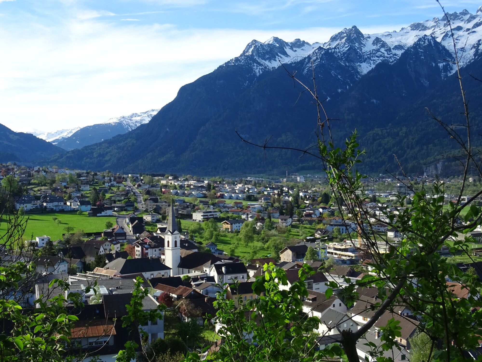
Village centre, Nüziders
- Route
-
NüzidersKrone0.0 kmTschugmainer0.1 kmStüble0.1 kmSigberger0.1 kmBatschmatscher0.1 kmBädle0.2 kmBad Sonnenberg0.3 kmAußerberg (752 m)2.1 kmSteinbühel3.2 kmStueller3.3 kmGugnere3.3 kmGrofa3.4 kmKrone3.6 km
- Best season
-
JanFebMarAprMayJunJulAugSepOctNovDec
- Description
-
The hike starts in the centre of Nüziders. From here via Außerbach to Bad Sonnenberg. At Bad Sonnenberg, the trail branches off once in the direction of Wingert and once in the direction of Bitschweg. Follow the Bitschweg, which after a short time turns into a forest path. Follow this path in the direction of Außerberg. In Außerberg, the trail makes a big loop and leads a little further up and then on the Plattenweg back towards the starting point. Follow this path until you reach the Bad Sonnenberg ruin, which is very well hidden in the forest. For the last part of the tour, follow the Schloßweg and Burggasse towards the centre of the village.
- Directions
-
Nüziders village centre (follow signs) - Außerbach - Bad Sonnenberg inn - Bitschweg junction - Bitschweg - Außerberg - Plattenweg - Auf der Platte - Bad Sonnenberg ruins - Schloßweg - Burggasse - Nüziders village centre
- Highest point
- 713 m
- Endpoint
-
Village centre, Nüziders
- Height profile
-

- Equipment
-
Ankle-high mountain boots with tread sole, sun and rain protection, snack, filled water bottle and first aid kit. Cell phone for emergencies.
- Safety instructions
- Directions
- Public transportation
- Parking
-
Parking places in the village centre of Nüziders
- Author
-
The tour Circular trail to Sonnenberg Ruin | Nüziders is used by outdooractive.com provided.


General info
-
St. Gallen - Bodensee
2067
-
Alpenregion Vorarlberg
1773
-
Nüziders
457


