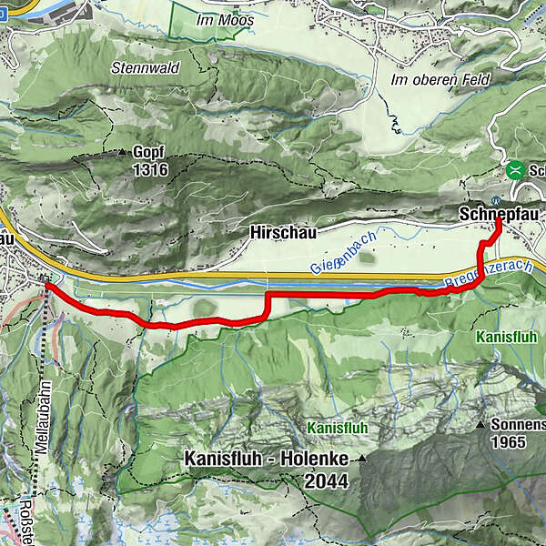
Mellau | At the foot of the Kanisfluh - from Mellau to Schnepfau

Hiking

© Bregenzerwald Tourismus - Nadine Lerho

© Bregenzerwald Tourismus - Nadine Lerho

© Bregenzerwald Tourismus - Nadine Lerho

© Bregenzerwald Tourismus - Nadine Lerho

© Bregenzerwald Tourismus - Christoph Lingg

- Brief description
-
Mellau cable cars (705 m) - Engevorsäß (705 m) - Ach bridge towards Hirschau - Schnepfau (734 m, car park) return via the same way; signposted for the most part as cycle and hiking paths
- Difficulty
-
easy
- Rating
-
- Starting point
-
Mellau cable cars, car park
- Route
-
HinterbündtTanna0.4 kmEnge1.5 kmPfarrkirche Schnepfau5.1 kmSchnepfau5.2 km
- Best season
-
JanFebMarAprMayJunJulAugSepOctNovDec
- Description
-
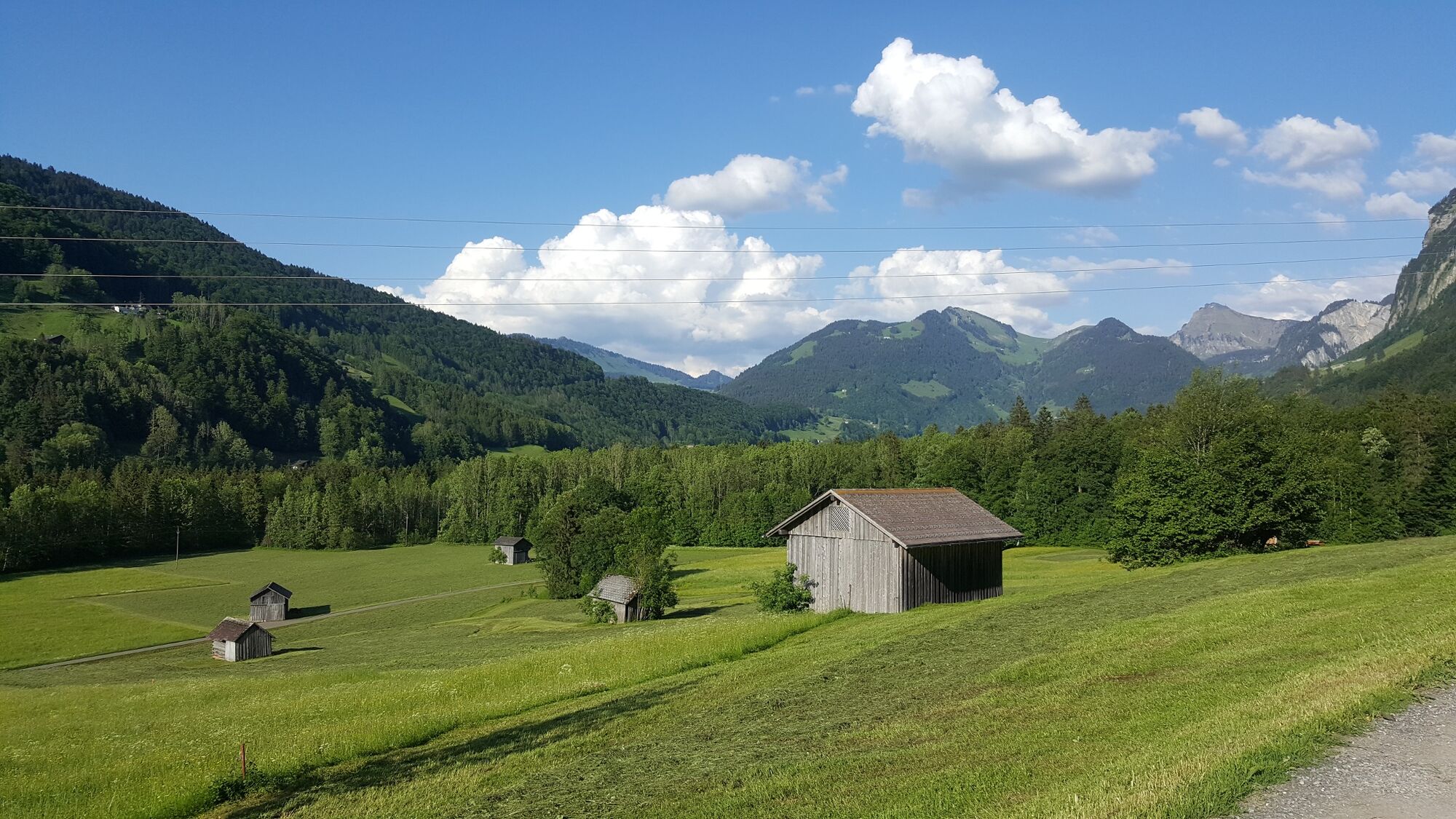
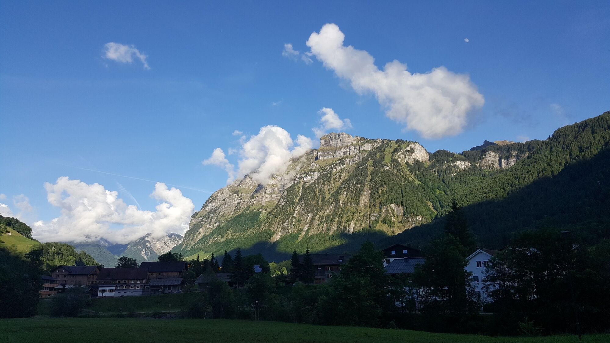
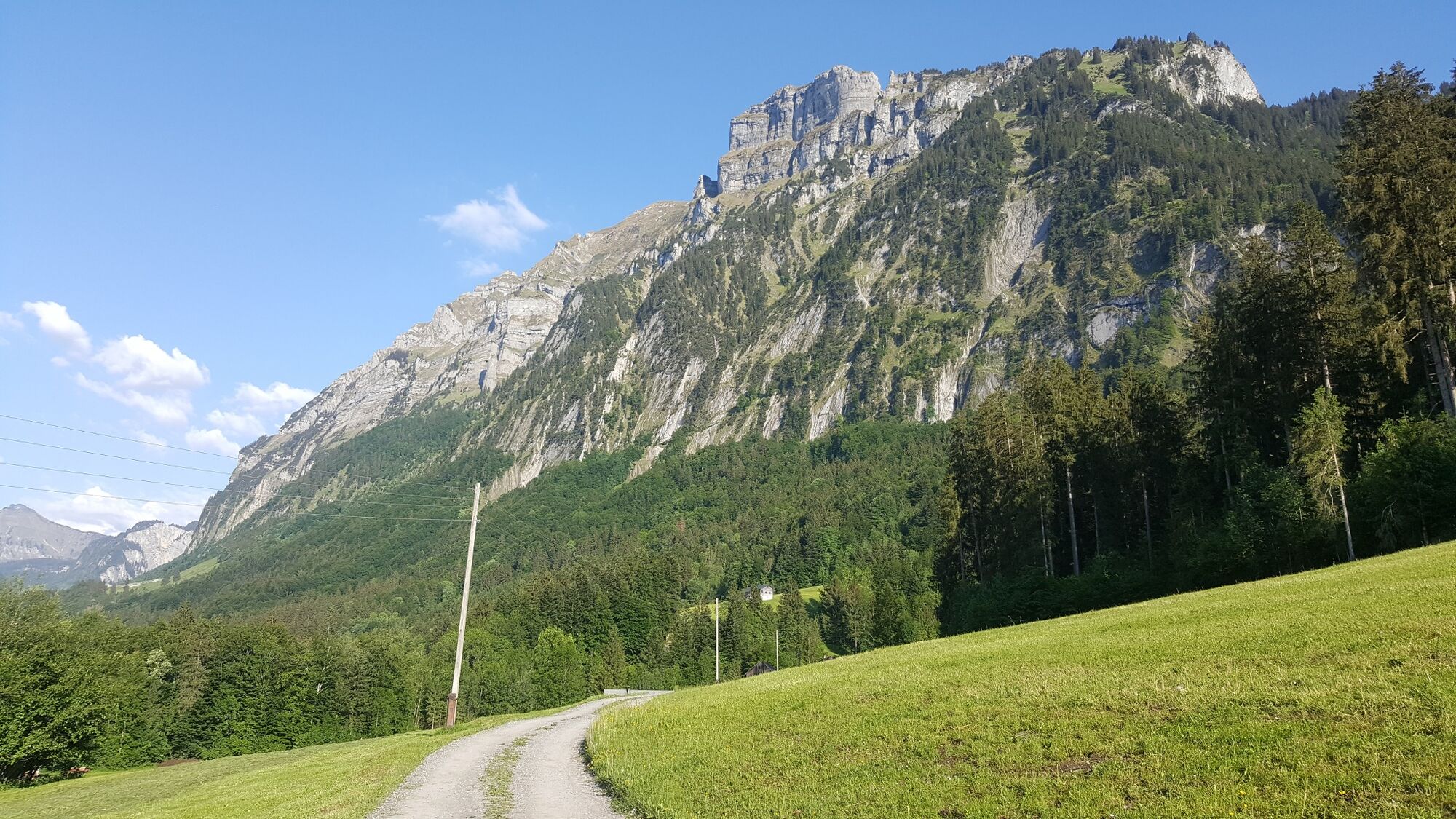
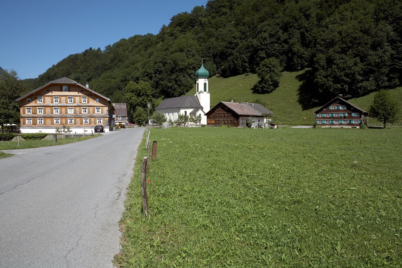
The Kanisfluh could easily give rise to the argument whether this, the Bregenzerwald's most striking mountain, is more impressive on the curved southern side of Au or on the northern face between mellau and Schnepfau. On our route, the rocks of the northern face tower up to 1,300 meters above the bottom of the valley. If you take a really close look, you can detect a mosaic of completely different natural habitats.
- Directions
-
Condition of the path: tarmacked throughout, more or less level for the most part, with differences in height at stream crossings
- Highest point
- 749 m
- Endpoint
-
Mellau cable cars, car park
- Height profile
-

- Tips
-
Barrier-free refreshments:Mellau cable cars, Herwig's Imbiss with tables outside
Barrier-free WC: Schnepfau village hall (on workdays)
- Directions
-
From Lindau (Germany):
Pfändertunnel - Autobahnausfahrt Dornbirn-Nord - Bregenzerwald (B 200) - Mellau, ca. 40 km.
From Kempten (Germany):
Oberstaufen - Ach - Lingenau - Egg - Mellau, ca. 50 km. - Public transportation
- Parking
-
Mellau cable cars

- Author
-
The tour Mellau | At the foot of the Kanisfluh - from Mellau to Schnepfau is used by outdooractive.com provided.
GPS Downloads


General info
Refreshment stop
Other tours in the regions
-
St. Gallen - Bodensee
2070
-
Bregenzerwald
2295
-
Bizau
627


