
- Brief description
-
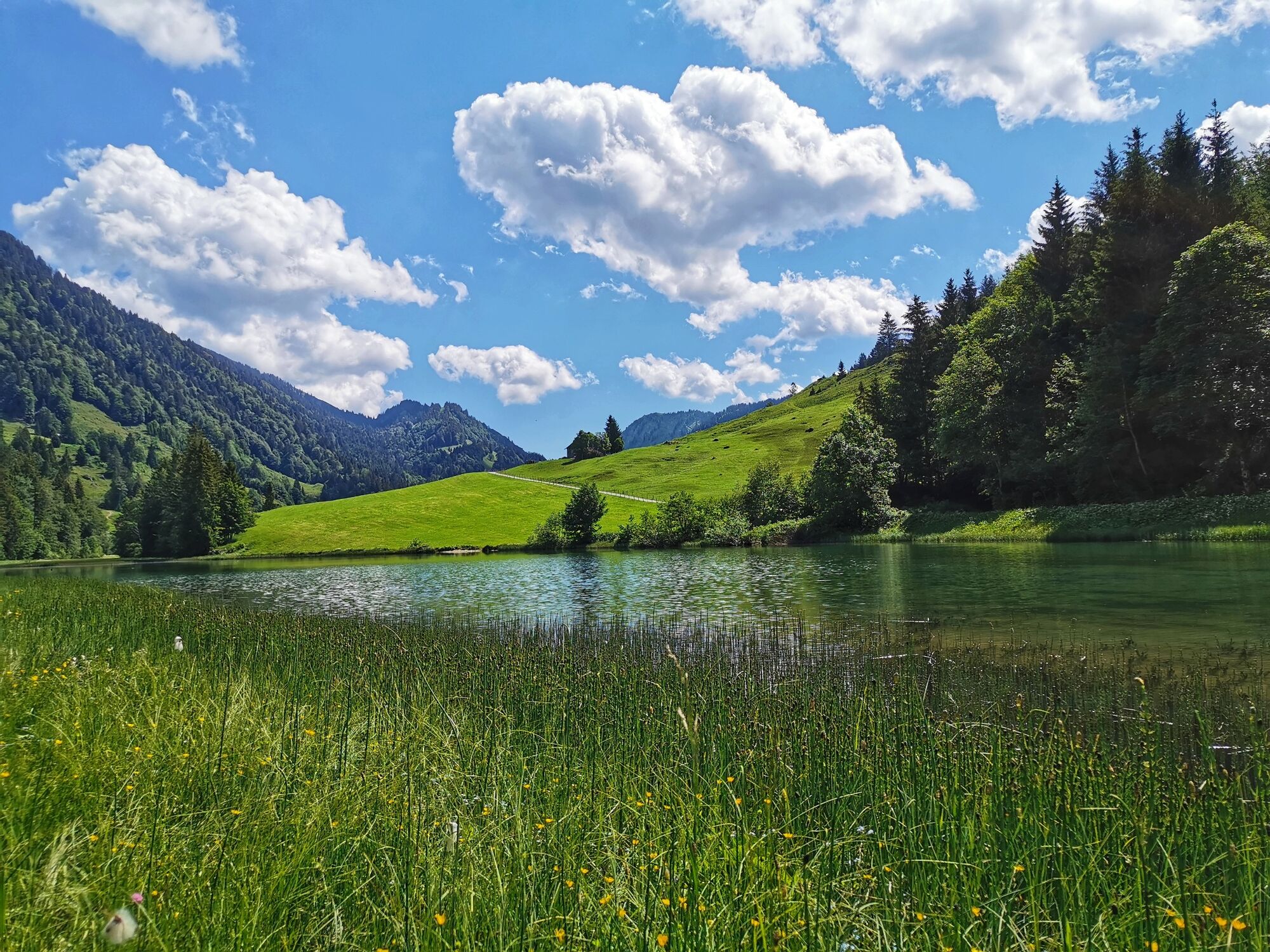
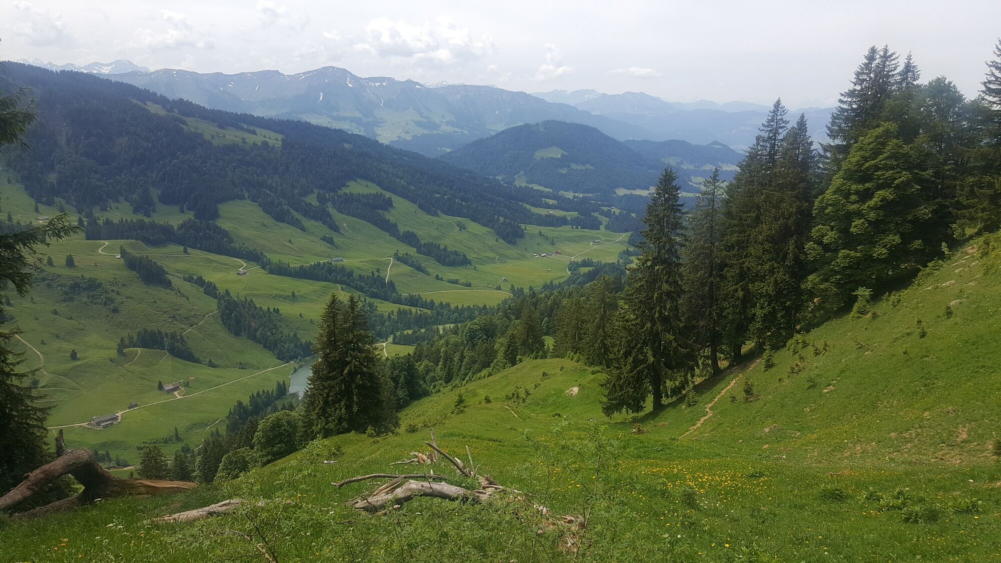
Mountain tour through the Lecknertal in Hittisau with over 100 alps. Six alps are located on this hiking path.
- Difficulty
-
medium
- Rating
-
- Starting point
-
car park Lecknertal
- Route
-
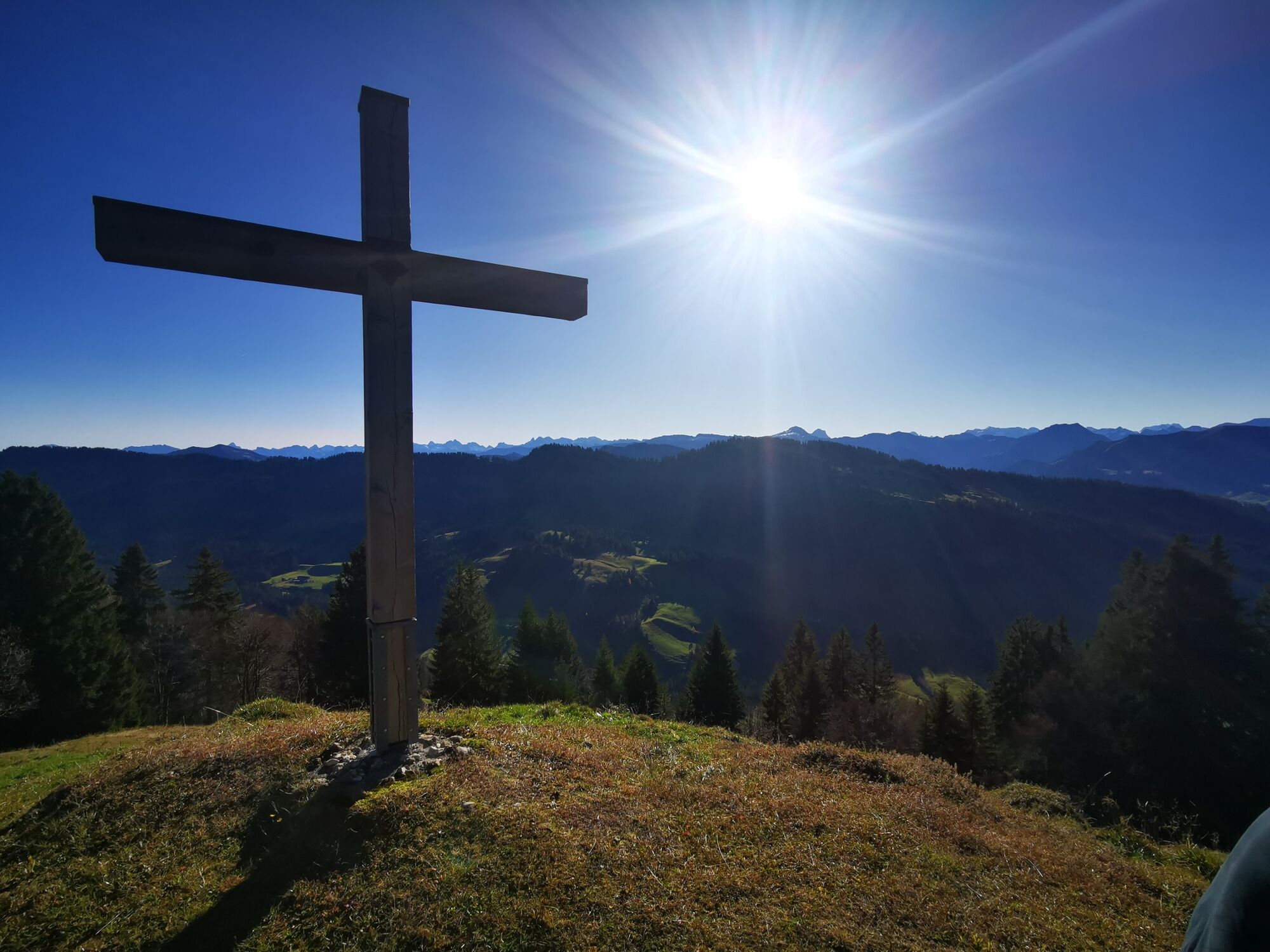
Eineguntkopf (1,639 m)5.9 km
- Best season
-
JanFebMarAprMayJunJulAugSepOctNovDec
- Description
-
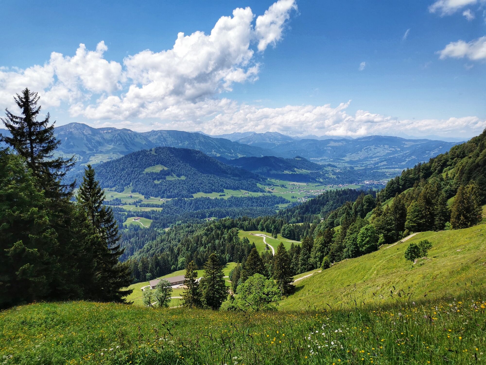
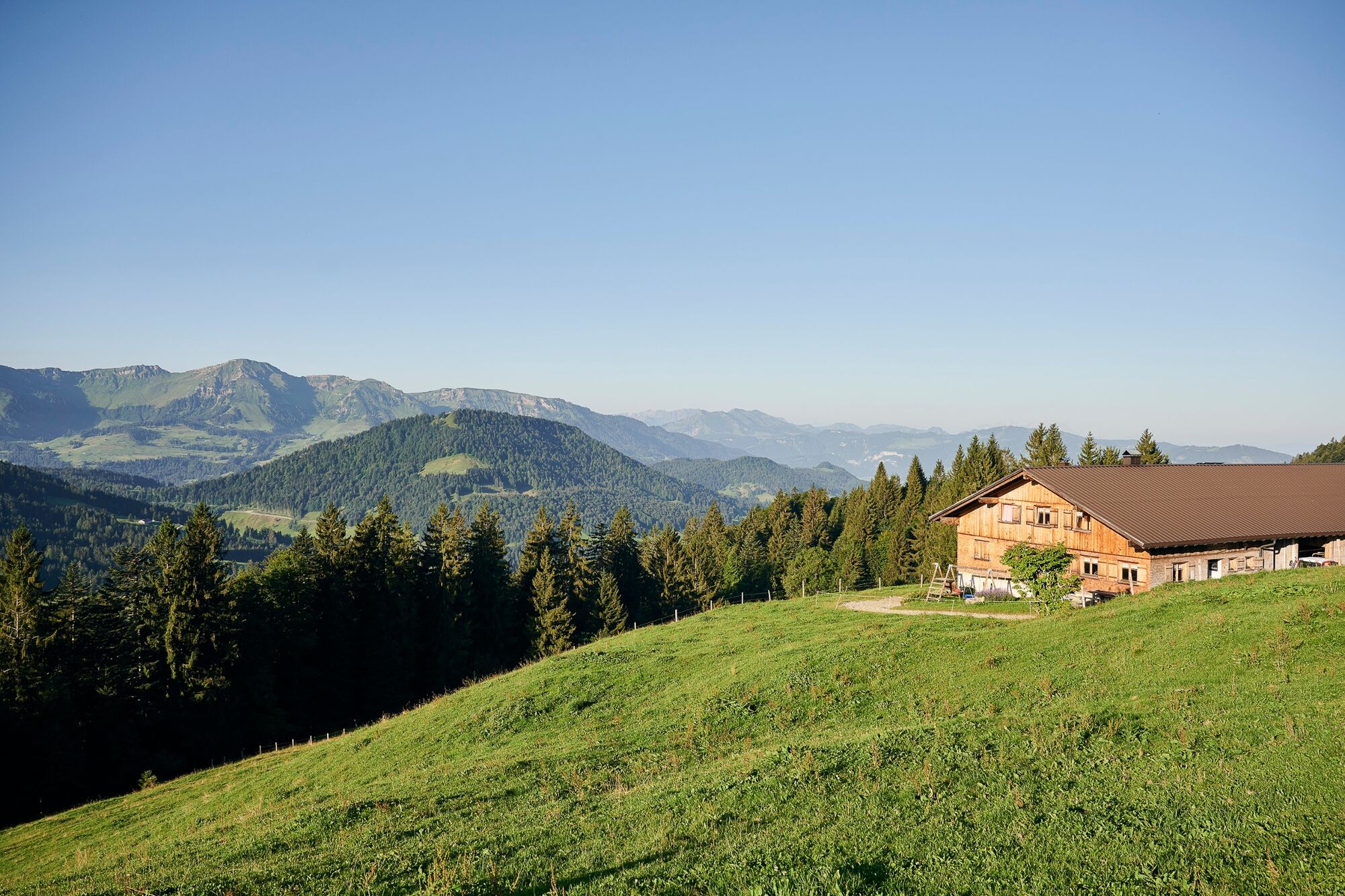
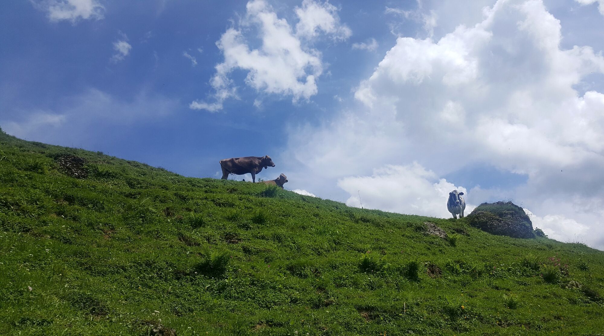
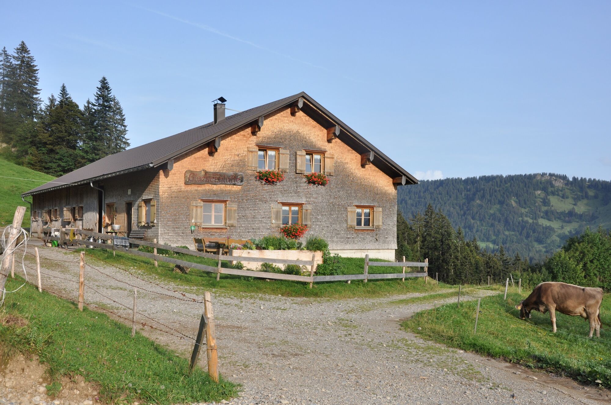
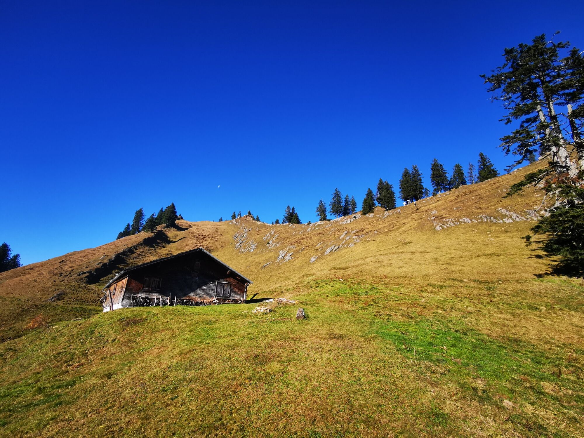
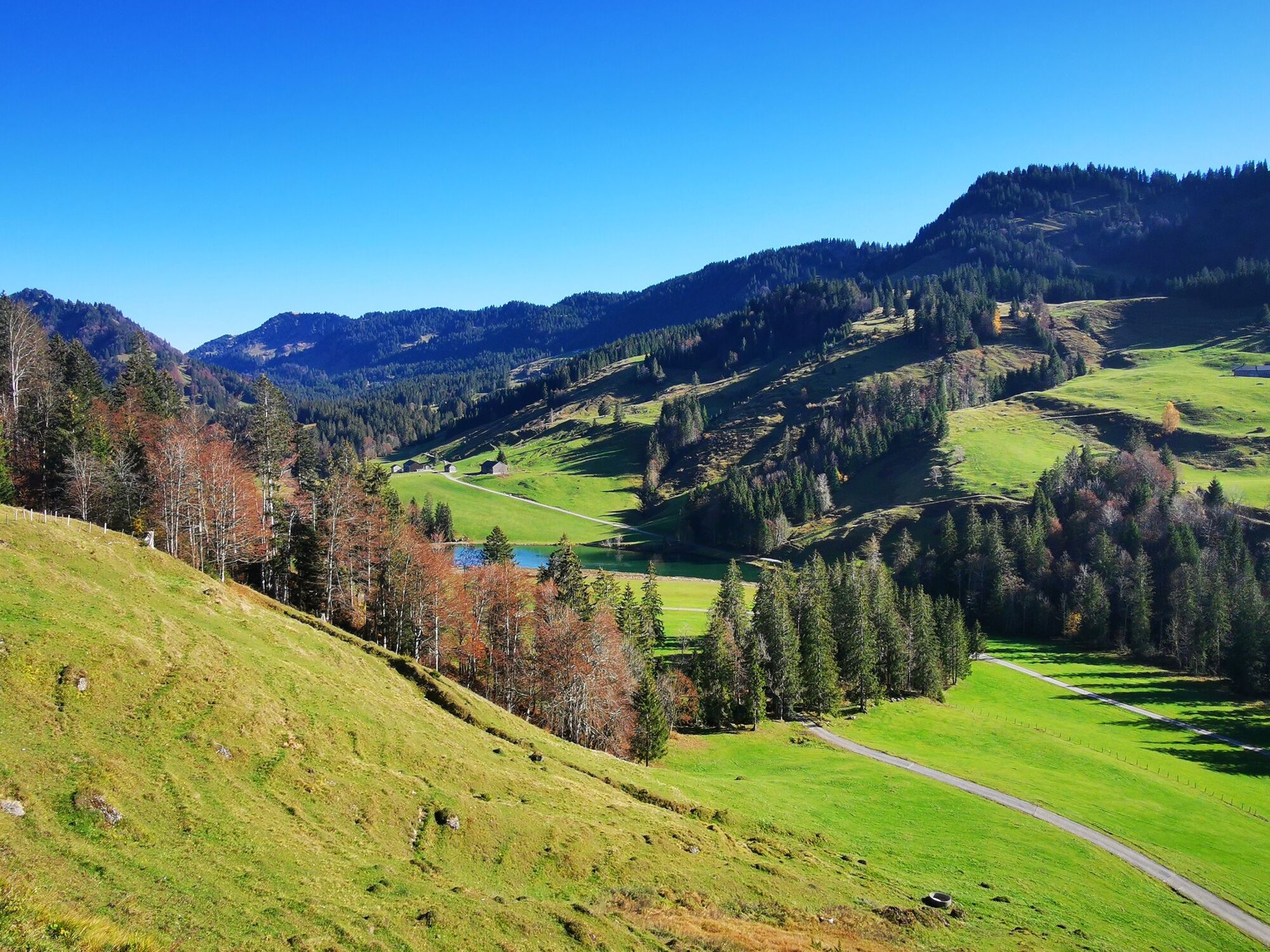
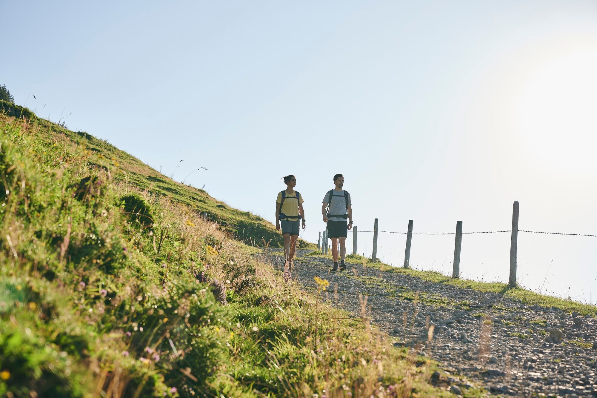
The Lecknertal is located in Hittisau, the village with the most alps in Austria. A toll road takes you to the hiking car park. The route takes you along the sunny slope of the Hochhäderich-Hochgrat mountain range up to the Rohnenhöhe (at 1,639 m). It is worth taking a short detour to the nearby Lecknersee. Along this mountain hiking path - whose 660 m difference in altitude makes it hard-going - are six alps, four of which are where milk is processed there and then.
- Directions
-
The Lecknertal is in Hittisau – withover 100 alps, it has the most alps of any villages in Austria. Six alps – including four dairy alps producing alpine cheese – are located on this hiking path on the Rohnehöhe summit. At the end of the really arduous mountain tour, the near-by Lecknersee invites you to rest a while.
- Highest point
- 1,619 m
- Endpoint
-
car park Lecknertal
- Height profile
-

- Equipment
-
Sturdy, well-soled shoes Raincoat Food and drink Sun screen and sun glasses Current local weather information - Safety instructions
- Tips
-
Chances to stop off for a drink/food:
alps (during the alp season from mid(late June through to mid-September), Höfle inn - Directions
-
from Germany: Motorway Lindau - Pfänder Tunnel - Motorway exit Dornbirn Nord (toll sticker required) - Bregenzerwald - Alberschwende - Lingenau - Hittisau;
OR Motorway Kempten - Immenstadt - Oberstaufen - Ach - Riefensberg - Krumbach - Hittisau
from Switzerland: Motorway St. Gallen - St. Margrethen/Au - Lustenau - Dornbirn - Bregenzerwald - Alberschwende - Lingenau - Hittisau - Public transportation
- Parking
-
car park Lecknertal


- Author
-
The tour Hittisau | the village with most alps is used by outdooractive.com provided.


General info
-
Allgäu
2362
-
Bregenzerwald
2296
-
Steibis
651