
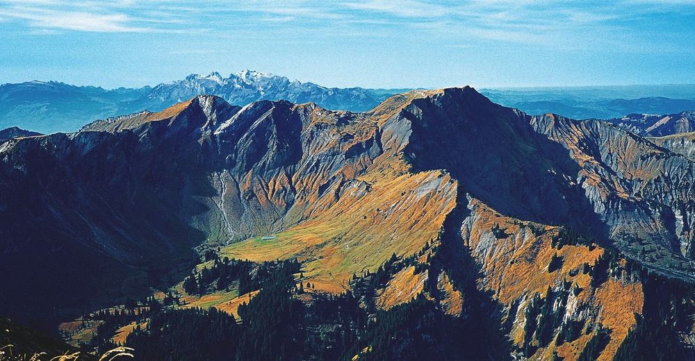

© Vorarlberg von Oben
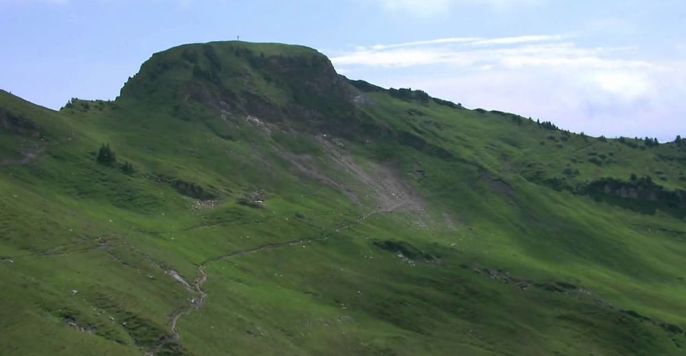
© Vorarlberg von Oben
© Bodensee-Vorarlberg Tourismus GmbH - Vorarlberg Tourismus

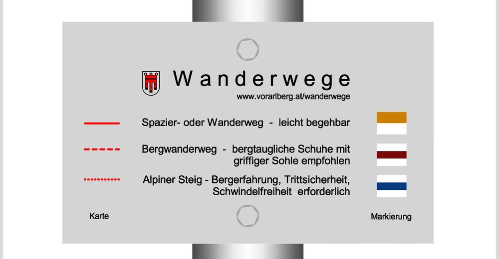
- Difficulty
-
difficult
- Rating
-
- Route
-
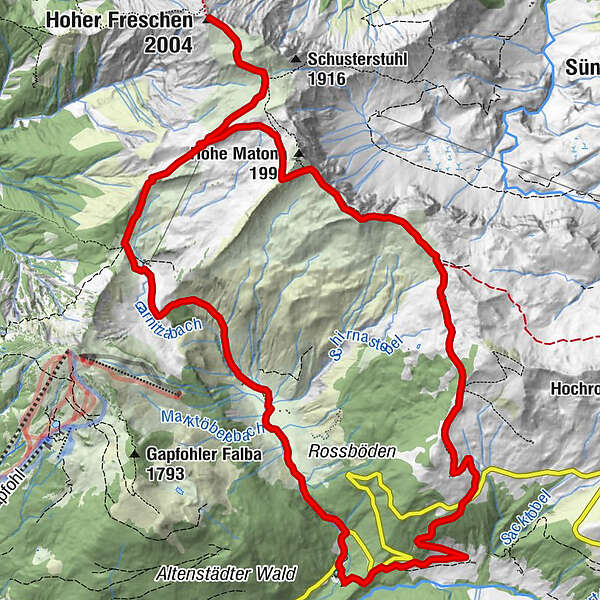
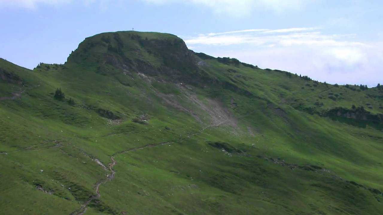
Bad Laterns (1,147 m)Untere Saluveralpe (1,564 m)3.7 kmObere Saluveralpe (1,795 m)5.1 kmFreschenhaus5.5 kmFreschenboden6.2 kmHoher Freschen (2,004 m)6.9 kmFreschenkapelle8.7 kmGroße Freschenhöhle8.8 kmMatonajöchle9.7 kmGäviserhöhe11.5 kmGävisalpe (1,750 m)11.8 kmBad Laterns (1,147 m)16.5 km
- Best season
-
JanFebMarAprMayJunJulAugSepOctNovDec
- Highest point
- 1,975 m
- Endpoint
-
Bad Laterns
- Height profile
-


- Author
-
The tour Hoher Freschen - Matona - Rundtour is used by outdooractive.com provided.
GPS Downloads


General info
Refreshment stop
Flora
A lot of view
Other tours in the regions
-
St. Gallen - Bodensee
2066
-
Alpenregion Vorarlberg
1772
-
Laterns-Gapfohl
442


