

© Themenwege Vorarlberg - Helmut Düringer

© Au-Schoppernau Tourismus - Monika Albrecht

- Brief description
-
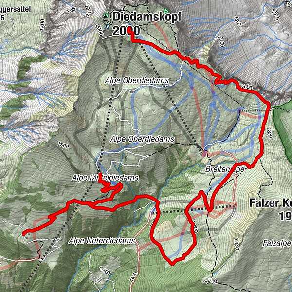
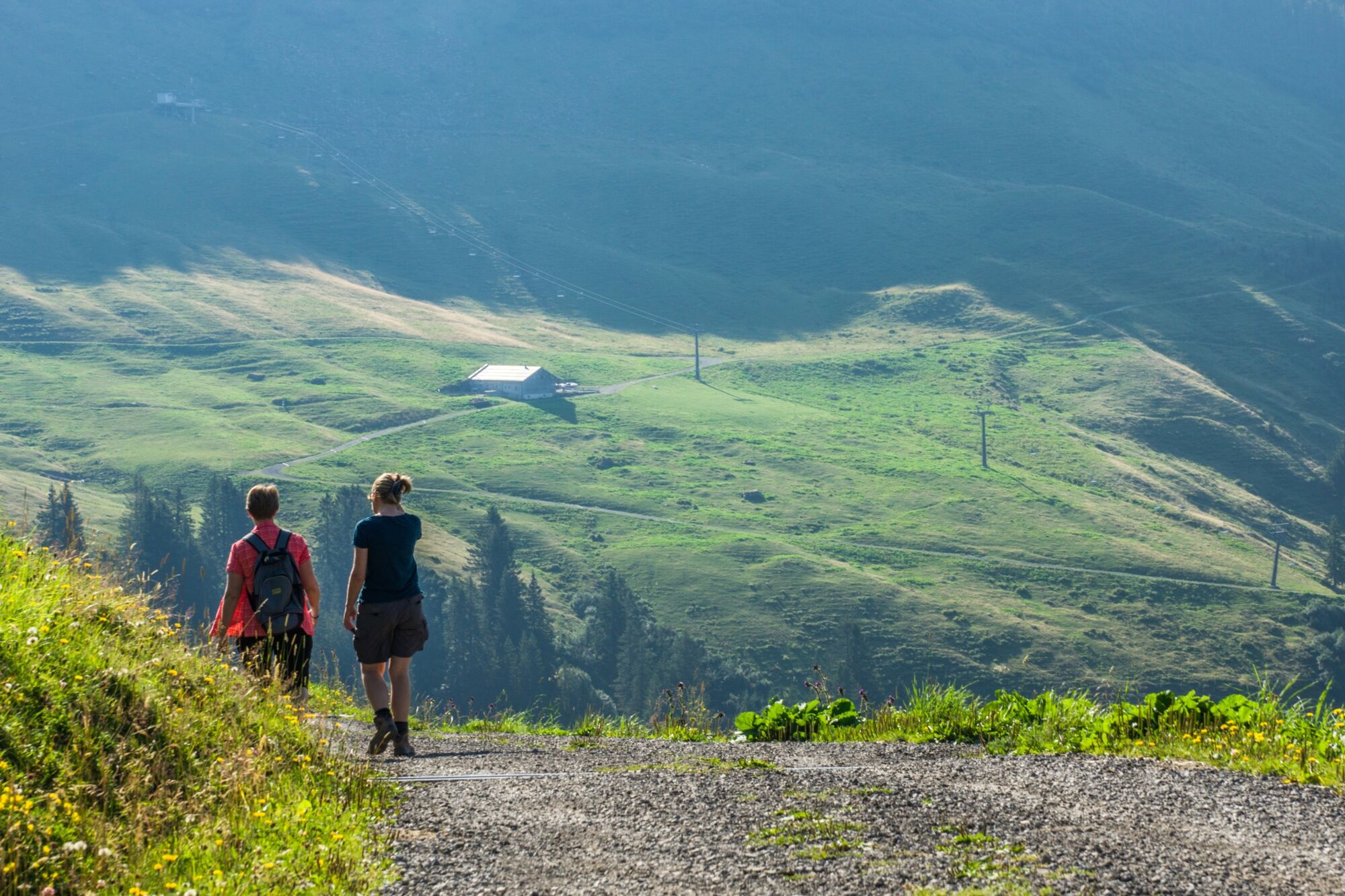
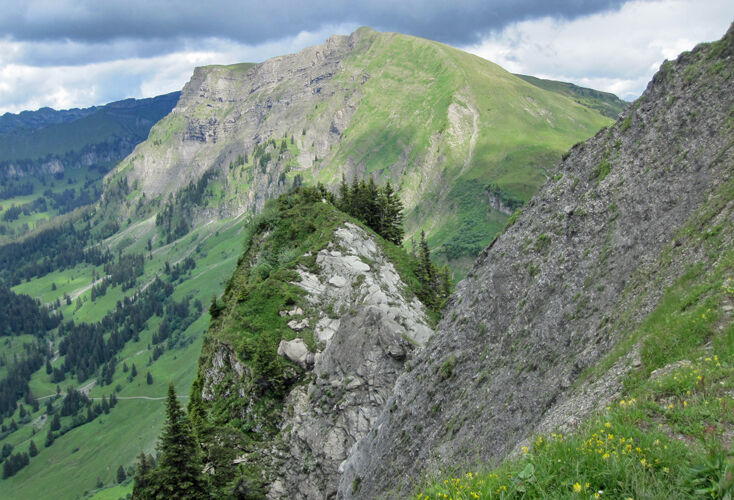
Aussichtsreiche Wanderung von der Mittelstation zur Alpe Unterdiedams und zurück über die Breitentobelalpe zur Bergstation.
- Difficulty
-
easy
- Rating
-
- Route
-
Alpe Mitteldiedams0.8 kmAlpe Unterdiedams1.5 kmBreitenalpe4.7 km
- Best season
-
JanFebMarAprMayJunJulAugSepOctNovDec
- Highest point
- 2,008 m
- Endpoint
-
Bergstation Bergbahnen Diedamskopf
- Height profile
-

- Author
-
The tour Schoppernau | Wanderung zur Alpe Unterdiedams is used by outdooractive.com provided.
GPS Downloads


General info
Refreshment stop
A lot of view
Other tours in the regions
-
Bregenzerwald
2297
-
Diedamskopf
755


