


- Brief description
-
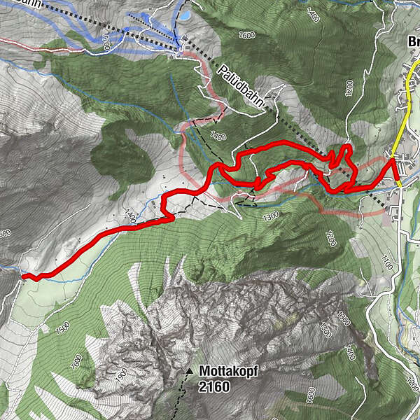
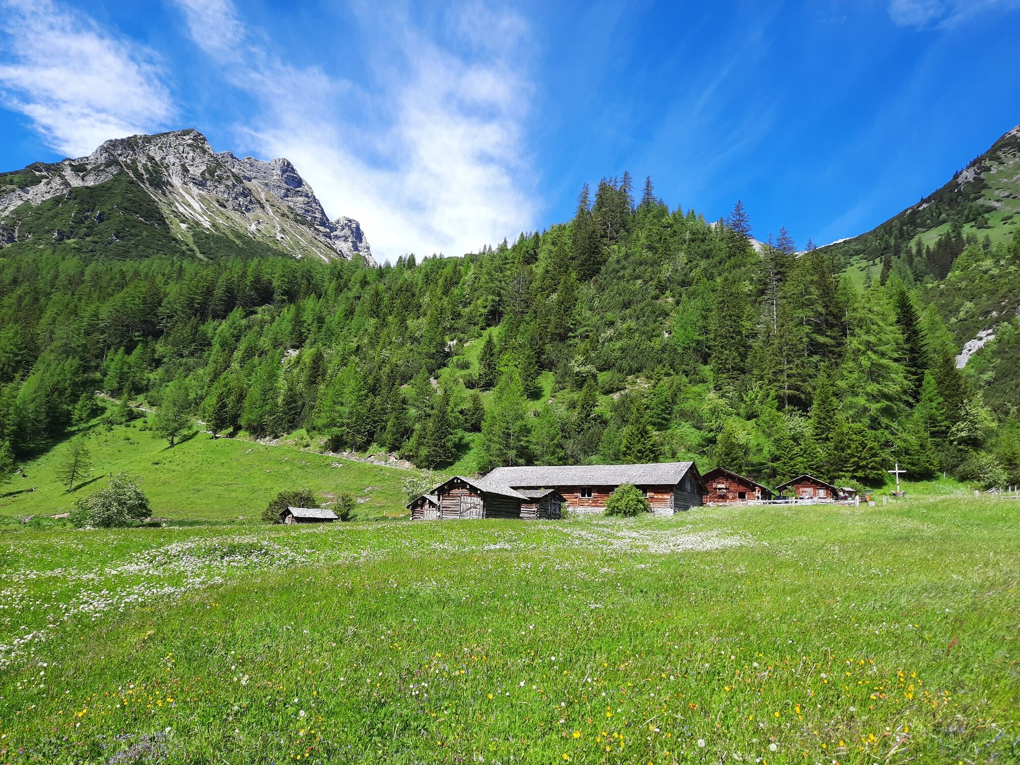
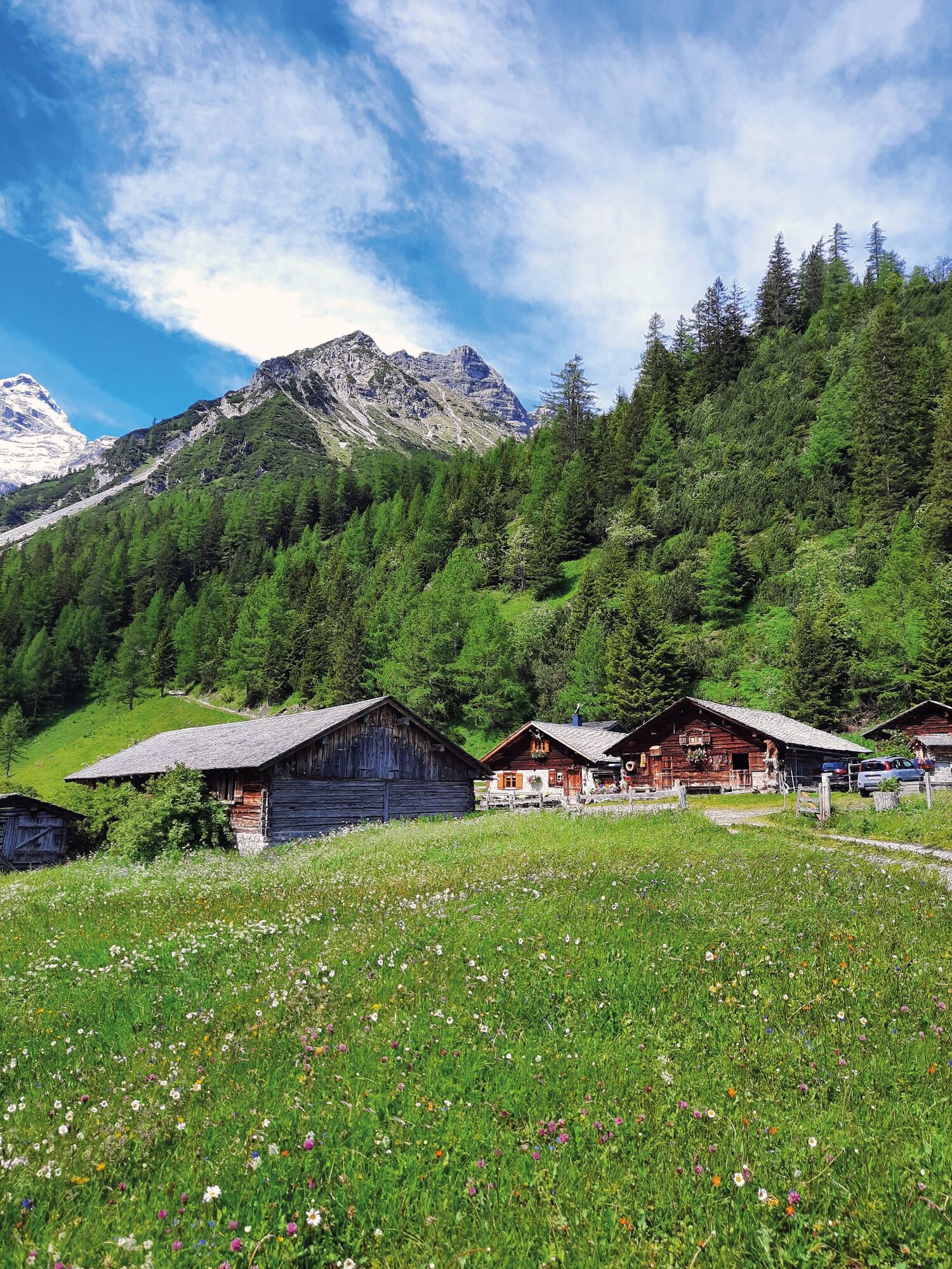
Hike through the unspoiled Zalim valley past the Glingabrunnen fountain to the Untere Brüggele Alpe.
- Difficulty
-
easy
- Rating
-
- Starting point
-
Innertal, Brand
- Route
-
Untere Brüggele Alp (1,469 m)3.5 km
- Best season
-
JanFebMarAprMayJunJulAugSepOctNovDec
- Description
-
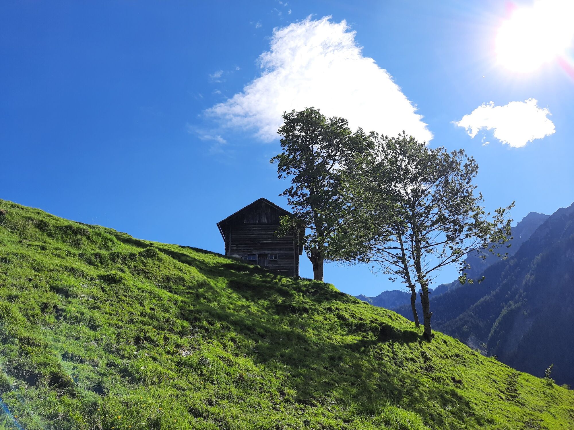
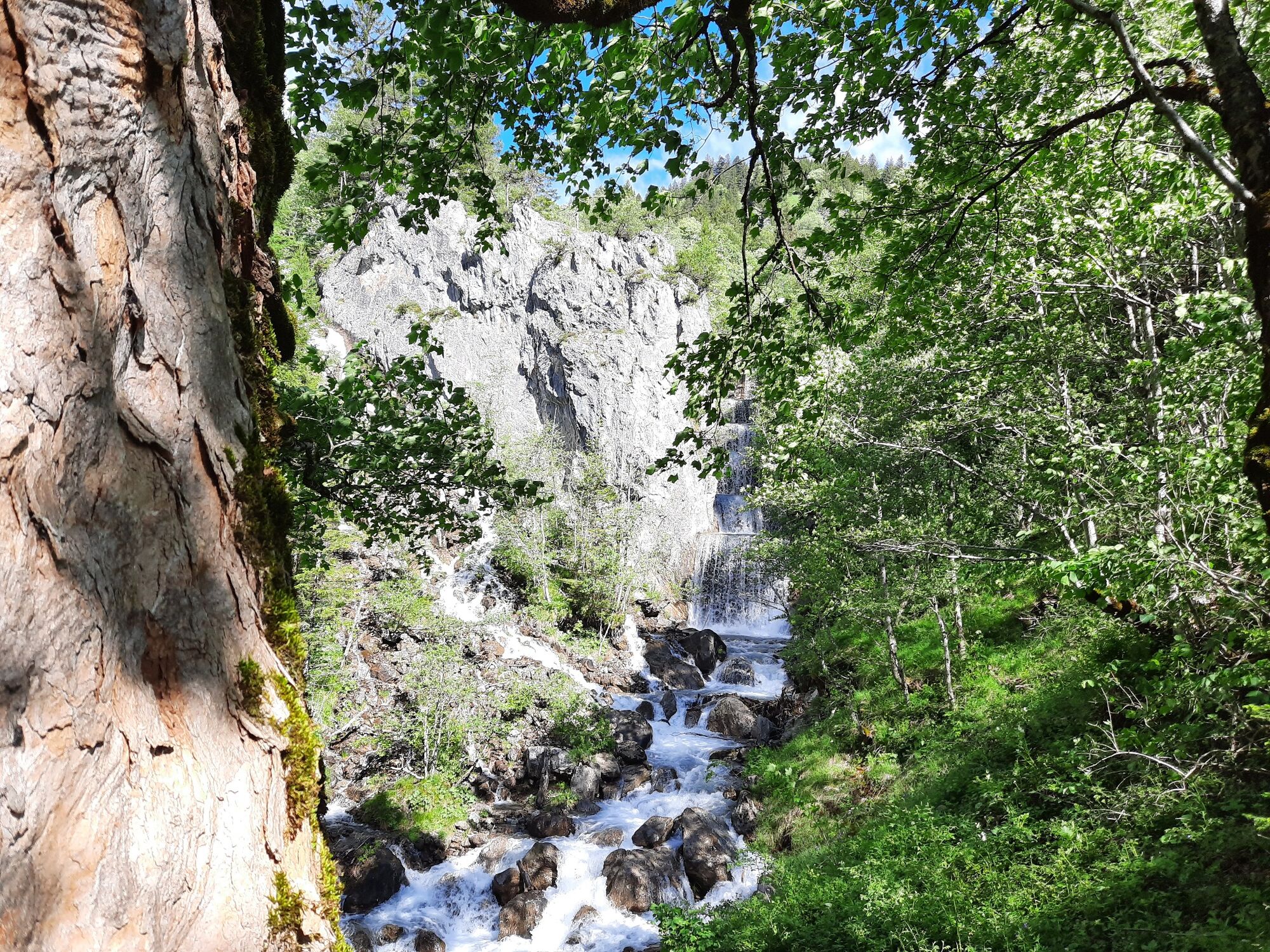
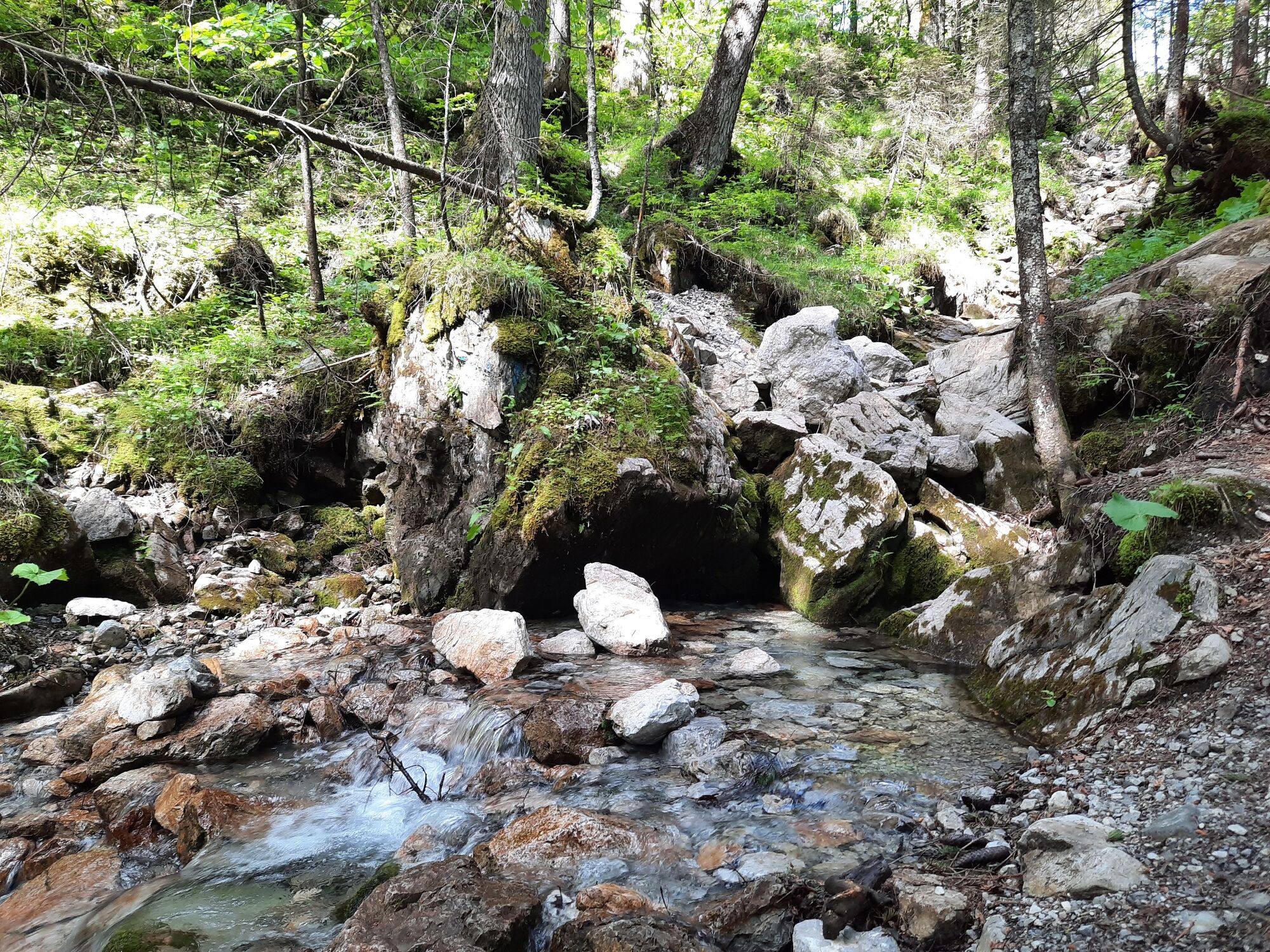
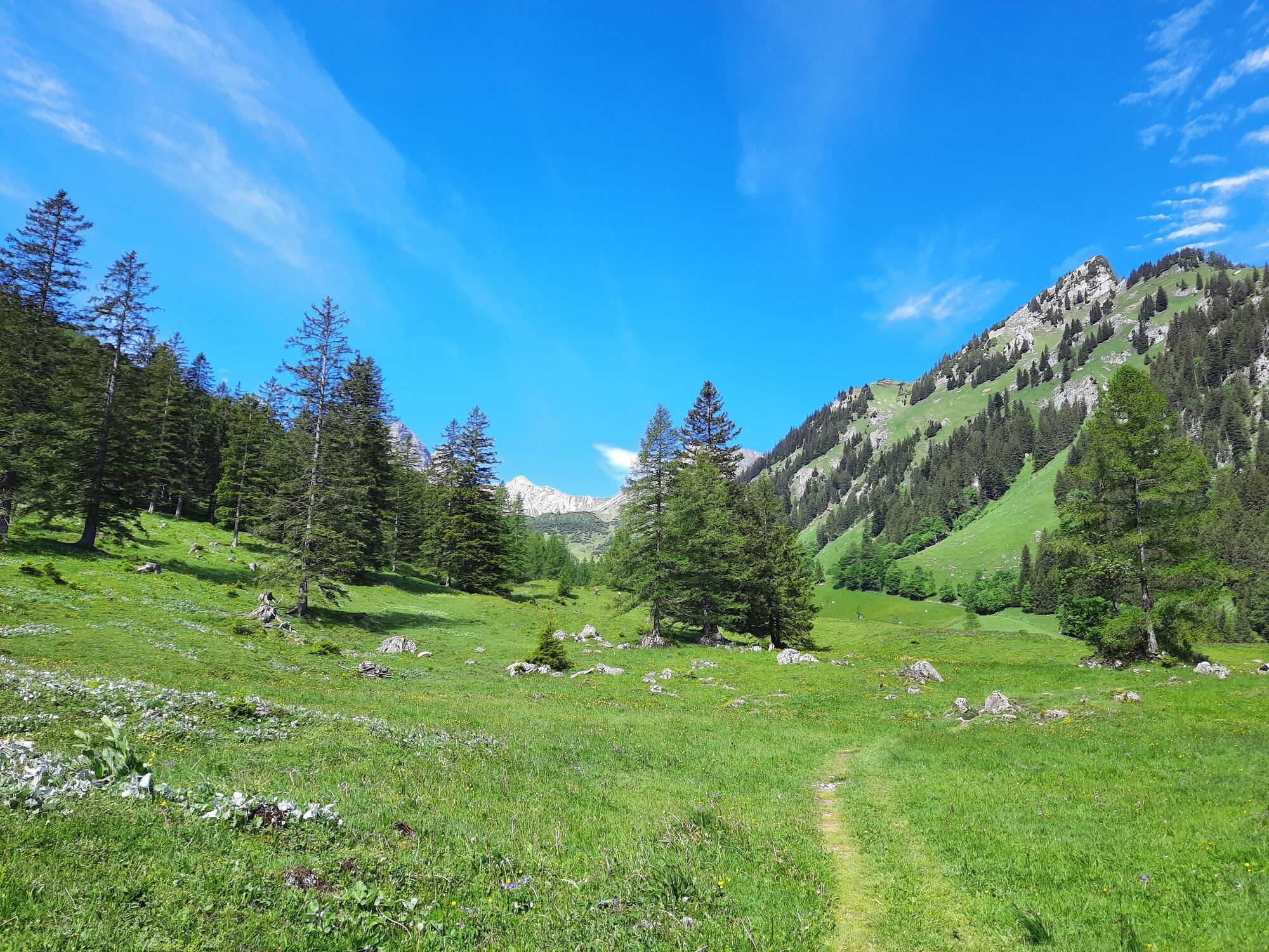
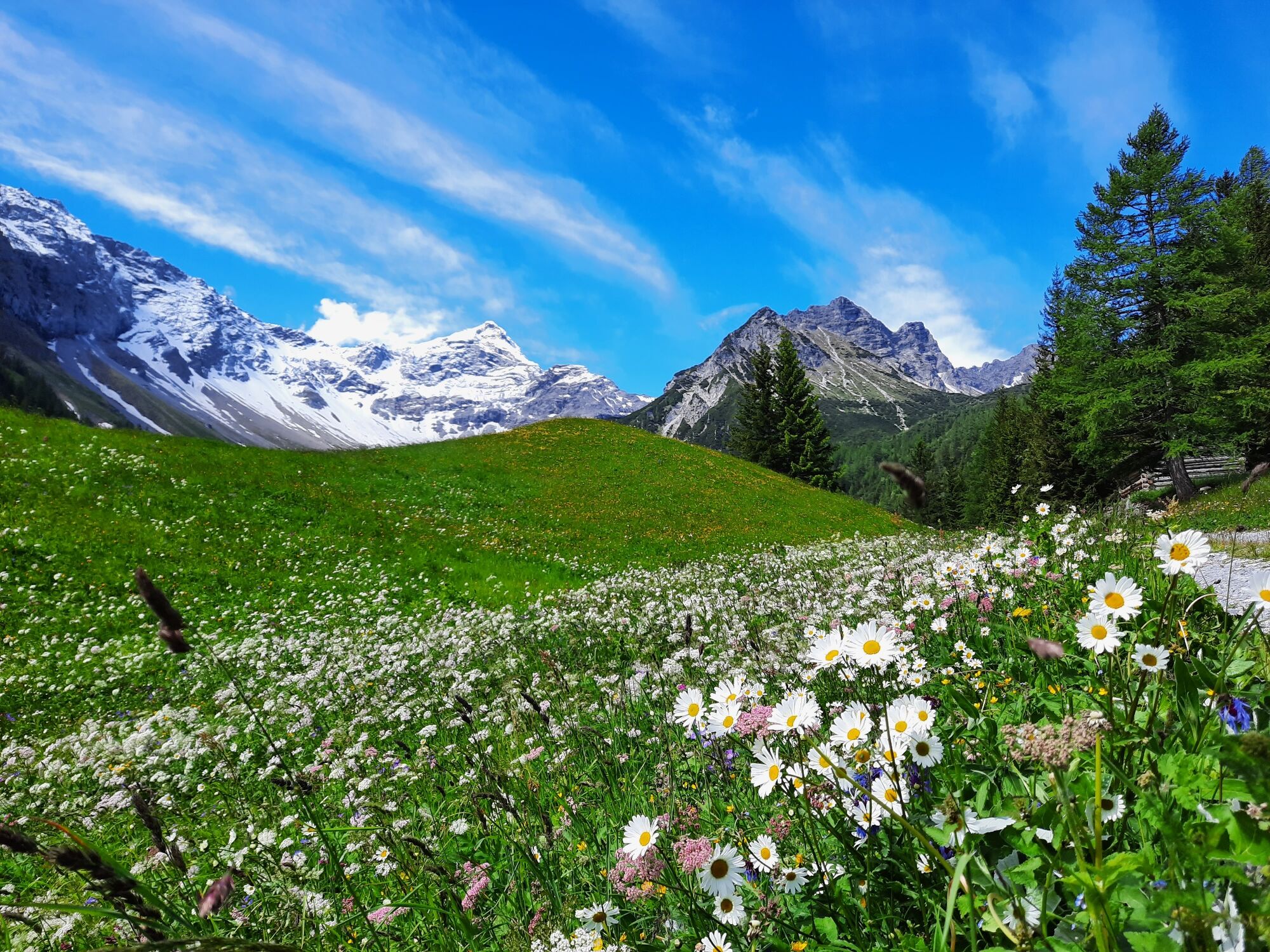
The way to the Untere Brüggele Alpe runs mostly in the shade of trees along the Palüdbach, worthwhile especially in dry and warm weather. The Glingabrunnen, a series of springs, is halfway along the way. The trail starts in Innertal and leads along a hiking trail into the picturesque Zalim valley to the Untere Brüggele Alpe, which invites you to stop for a break. Return via the same path or along the forest road.
- Directions
-
Innertal - footpath along the Palüdbach - Glingabrunnen - Zalimtal - Untere Brüggele Alpe - same way back or alternatively via forest road
- Highest point
- 1,465 m
- Endpoint
-
Innertal, Brand
- Height profile
-

- Equipment
-
Hiking boots, warm clothing, rain and sun protection as well as hiking poles are recommended. Mobile phone for emergencies.
- Safety instructions
- Tips
-
Possible alternative: Extend the hike to the Obere Brüggele Alpe at 1.704 m above sea level and follow the path over serpentines to the Oberzalimhütte at 1.889 m above sea level.
- Directions
- Public transportation
- Parking
-
Parking place Innertal or Palüd, Brand
- Author
-
The tour To the Untere Brüggele Alpe | Brand is used by outdooractive.com provided.


General info
-
Heidiland
2208
-
Brandnertal
1571
-
Brand
431


