High-altitude tour: Nenzinger Himmel – Pfälzer Hütte – Augstenberg


- Brief description
-
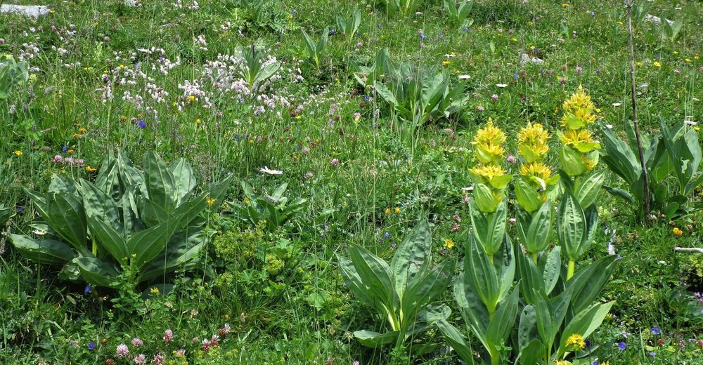
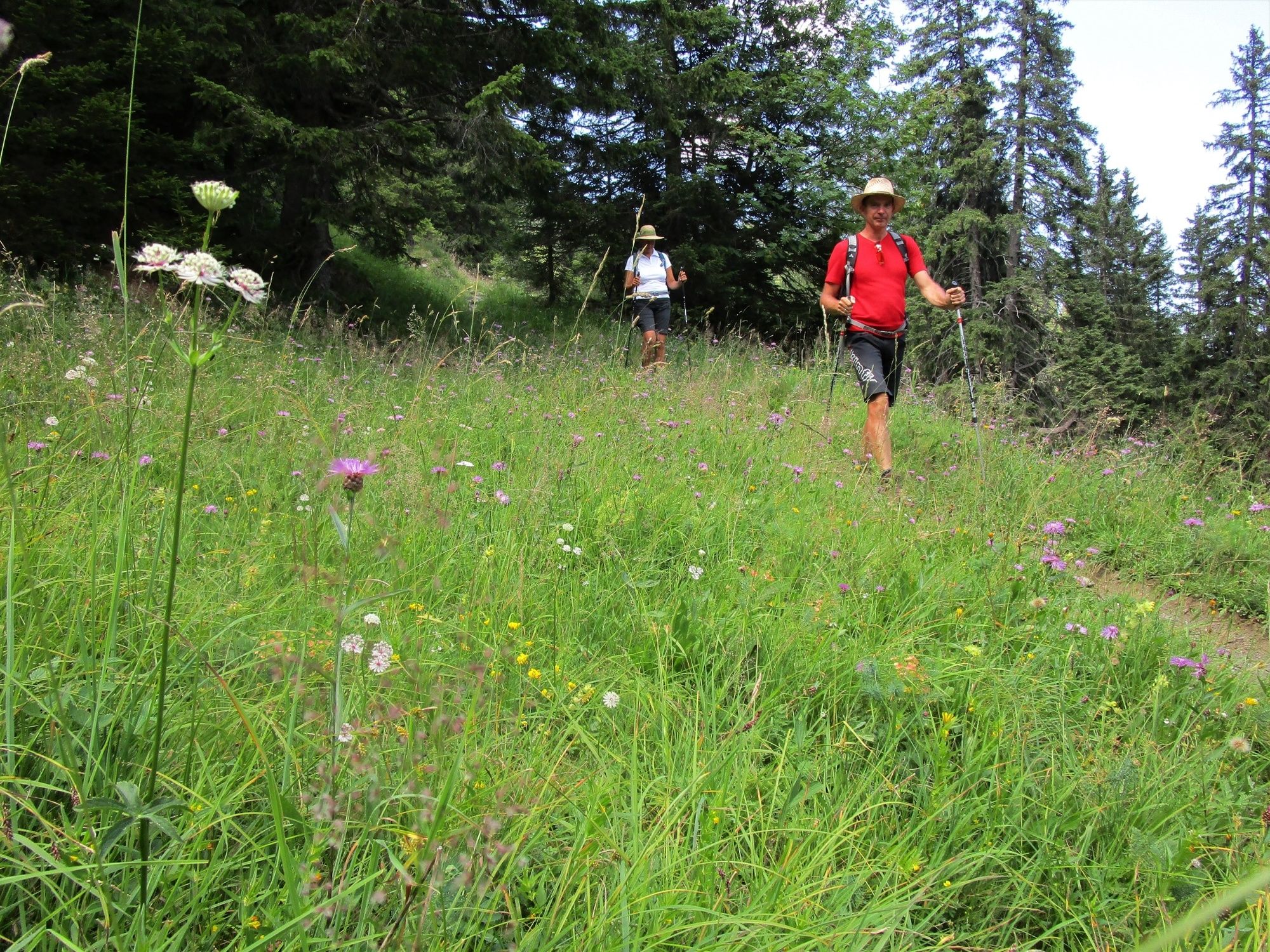
Panoramic high-altitude round hike across the Pfälzerhütte, the Augstenberg and the Sareiserjoch. The ascent to the Pfälzerhütte in particular passes through beautiful flower meadows. The hike along the ridge rewards the climbing effort with fascinating panoramic views from Lake Constance far into the Glarus Alps and the Rätikon.
- Difficulty
-
difficult
- Rating
-
- Route
-
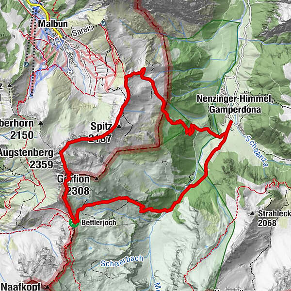
Stüberfall1.4 kmAlpe Güfel2.2 kmPfälzerhütte4.7 kmAugstenberg (2,359 m)6.2 kmSpitz (2,187 m)7.4 km
- Best season
-
JanFebMarAprMayJunJulAugSepOctNovDec
- Description
-
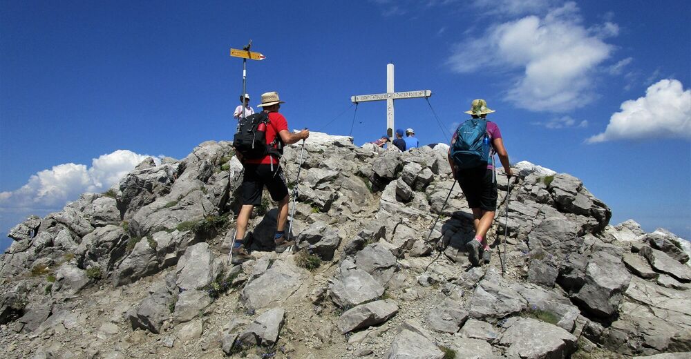
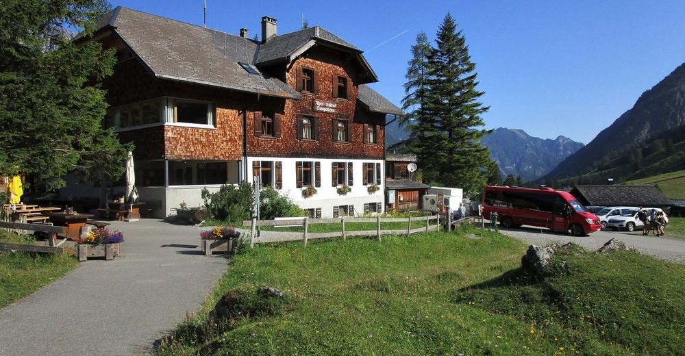
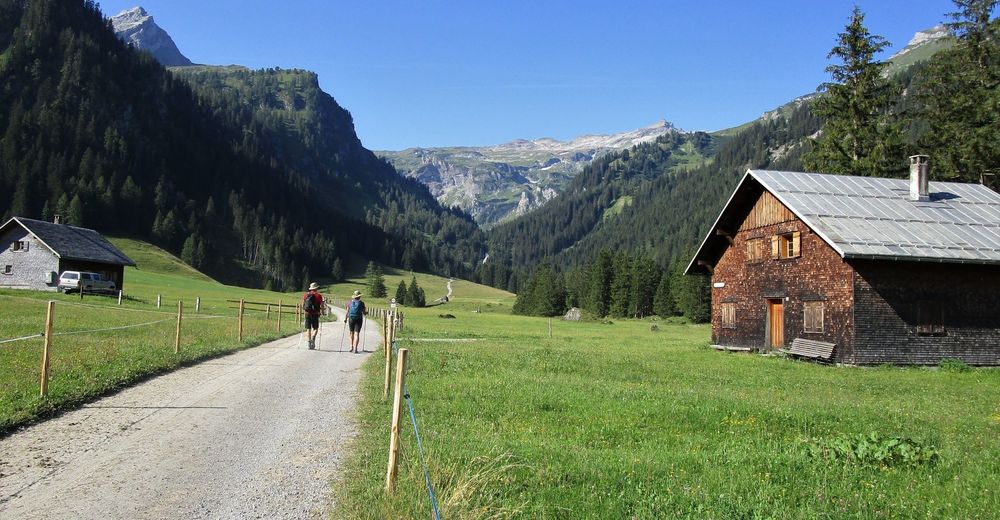
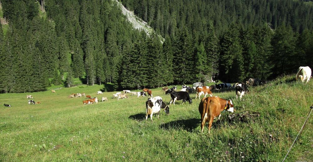
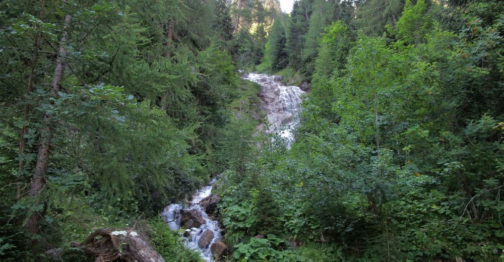
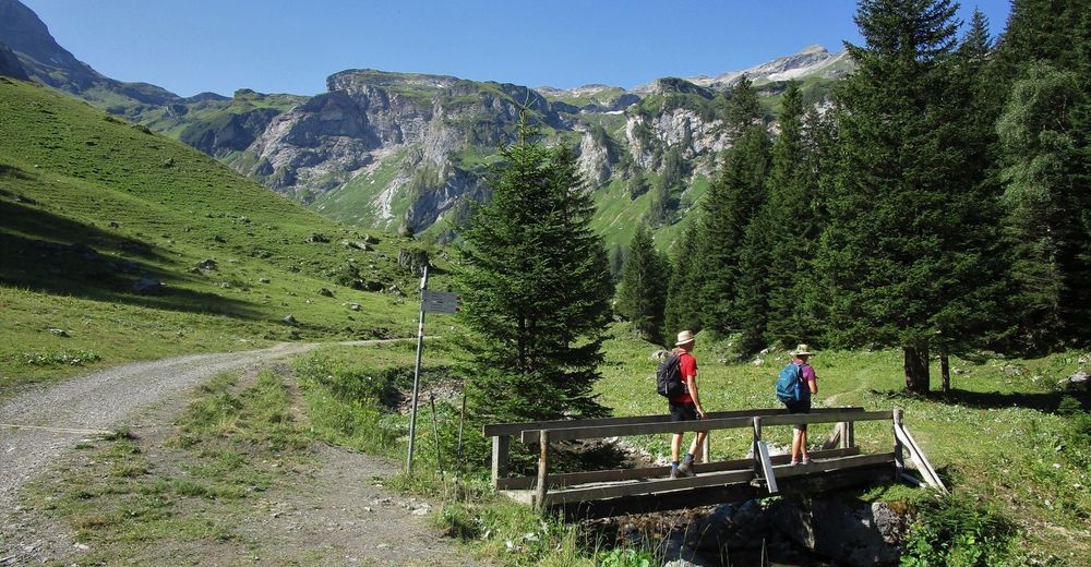
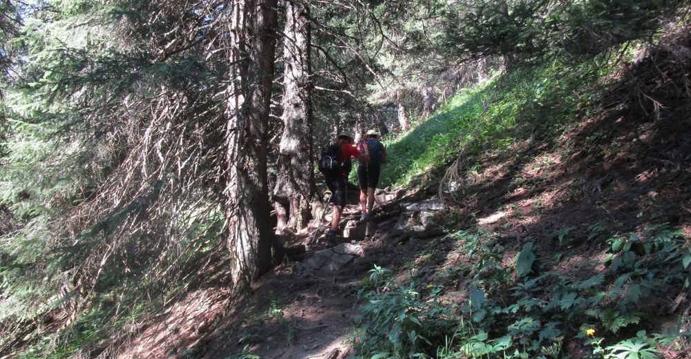
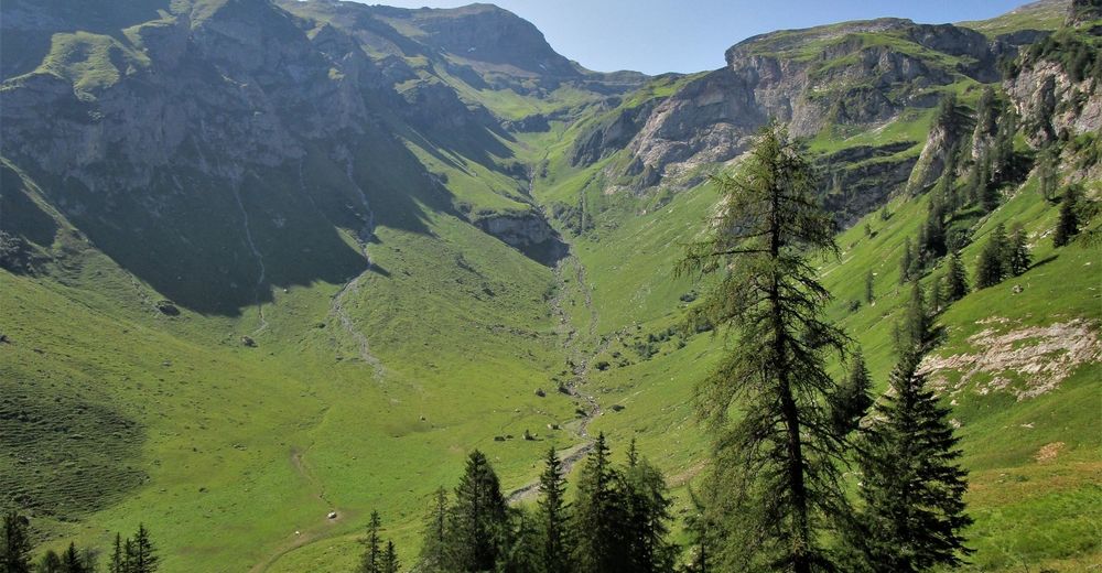
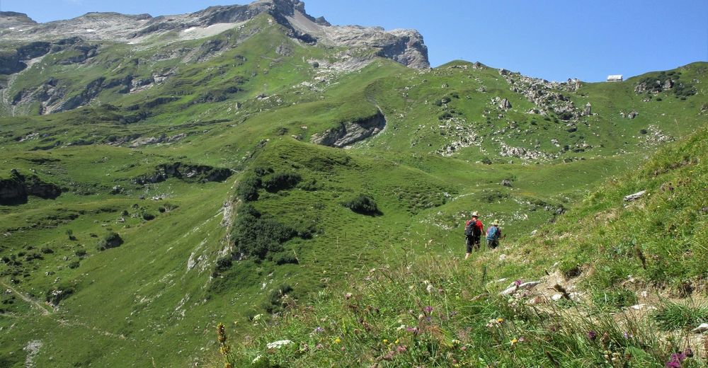
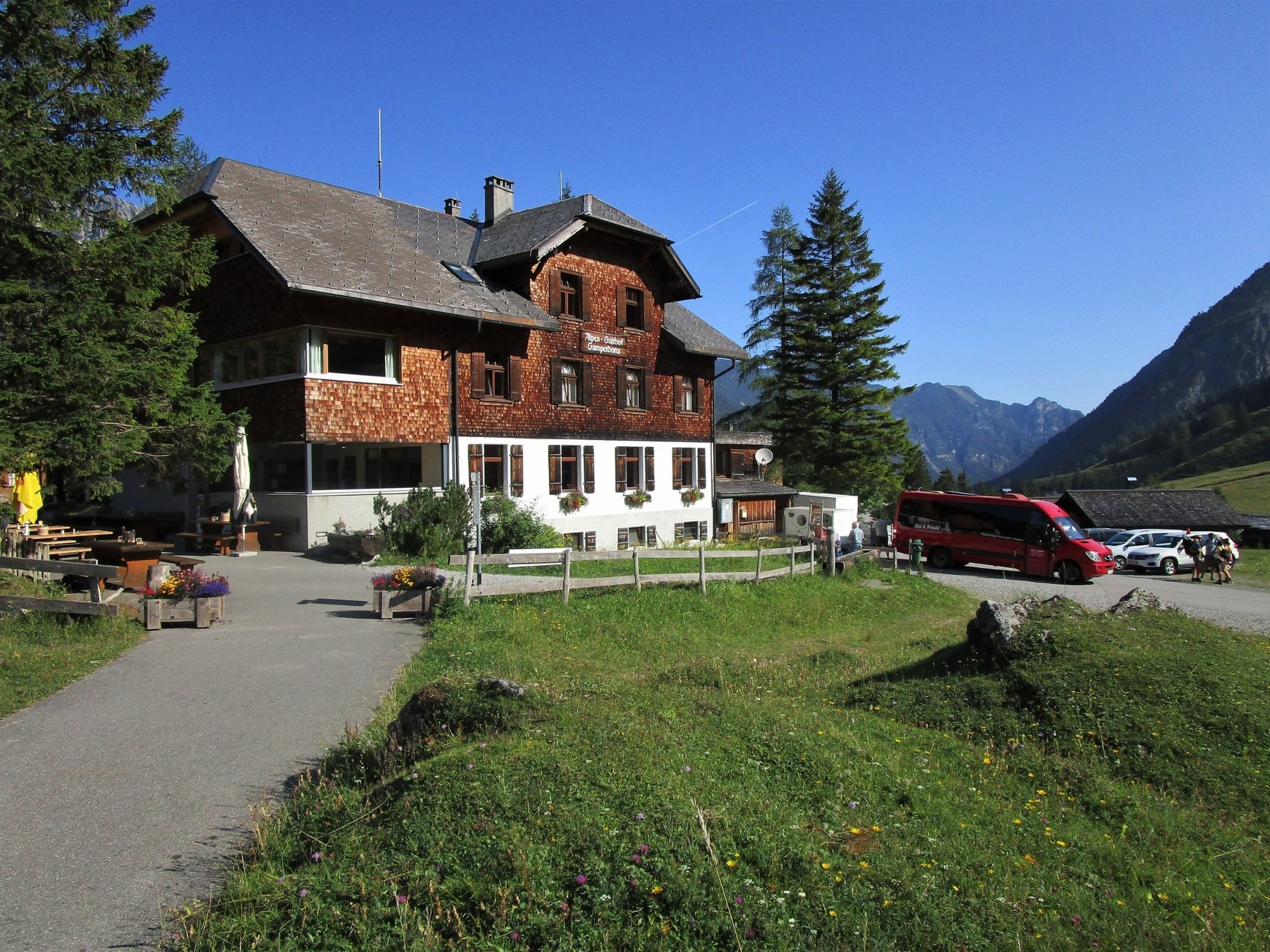
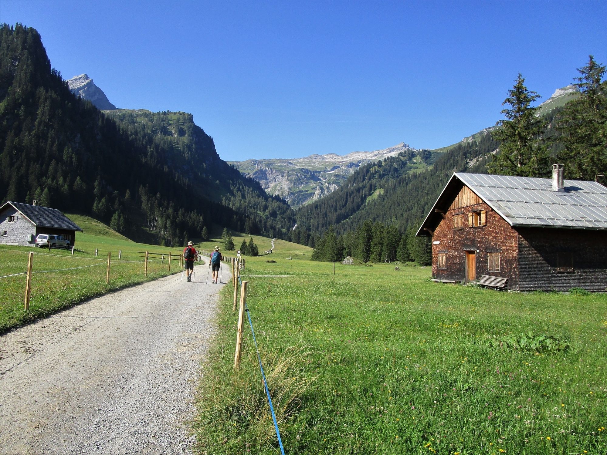
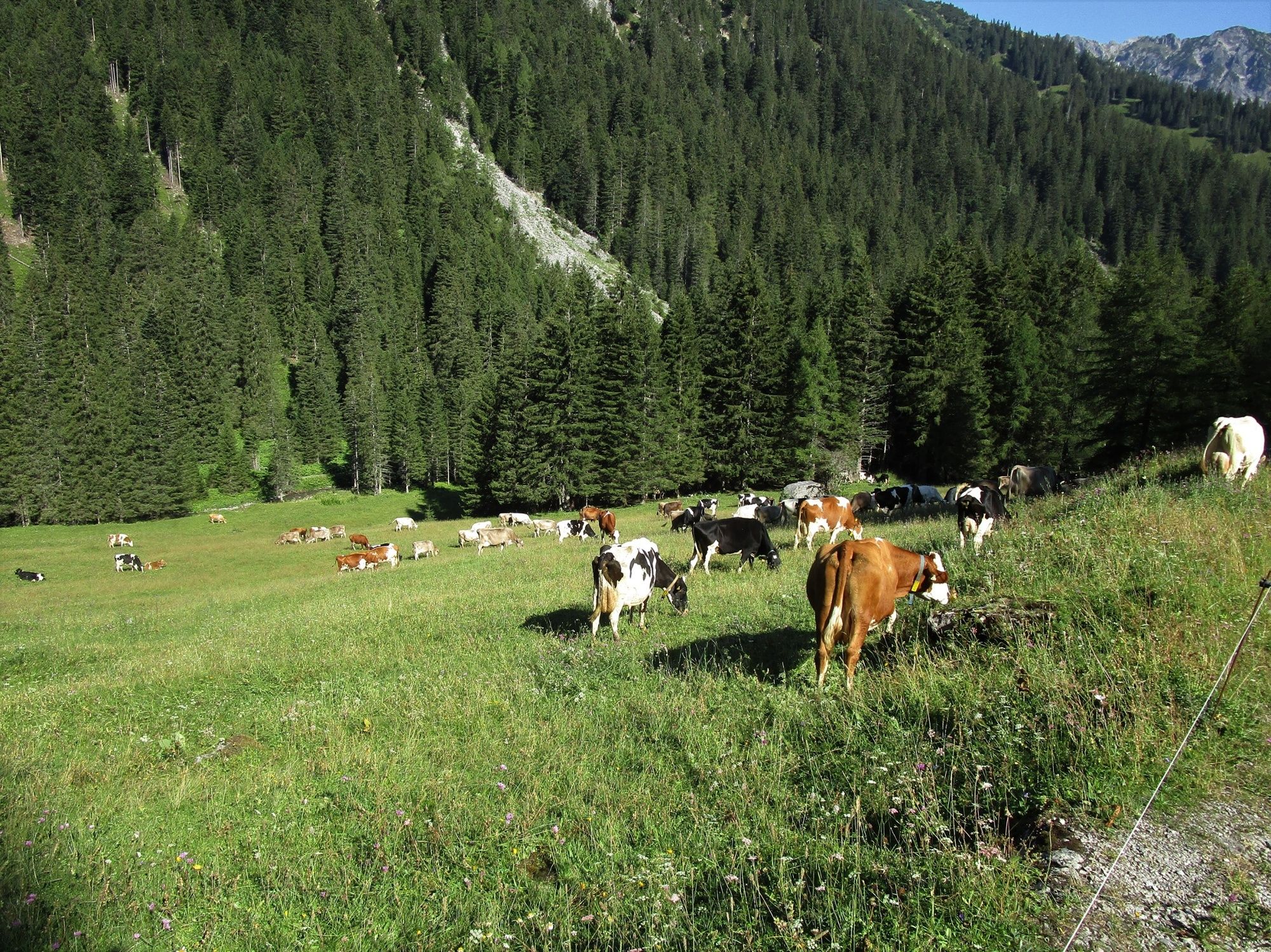
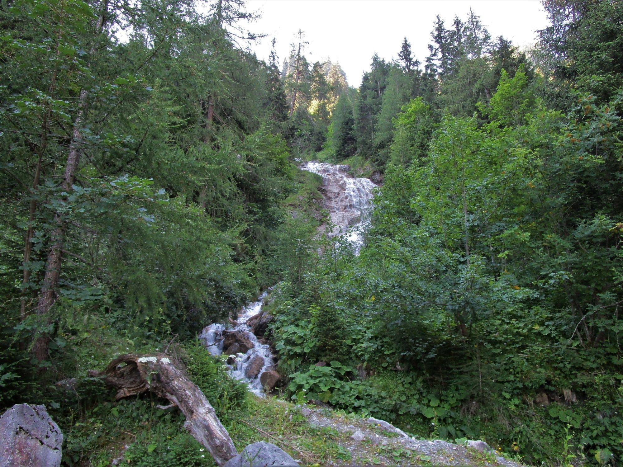
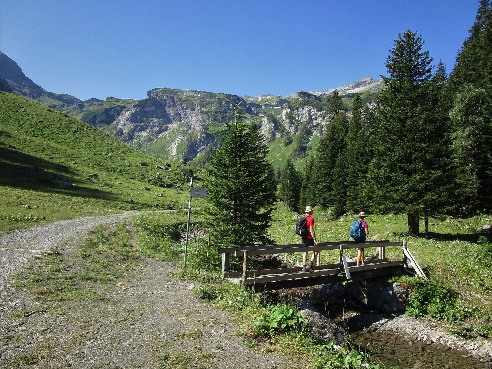
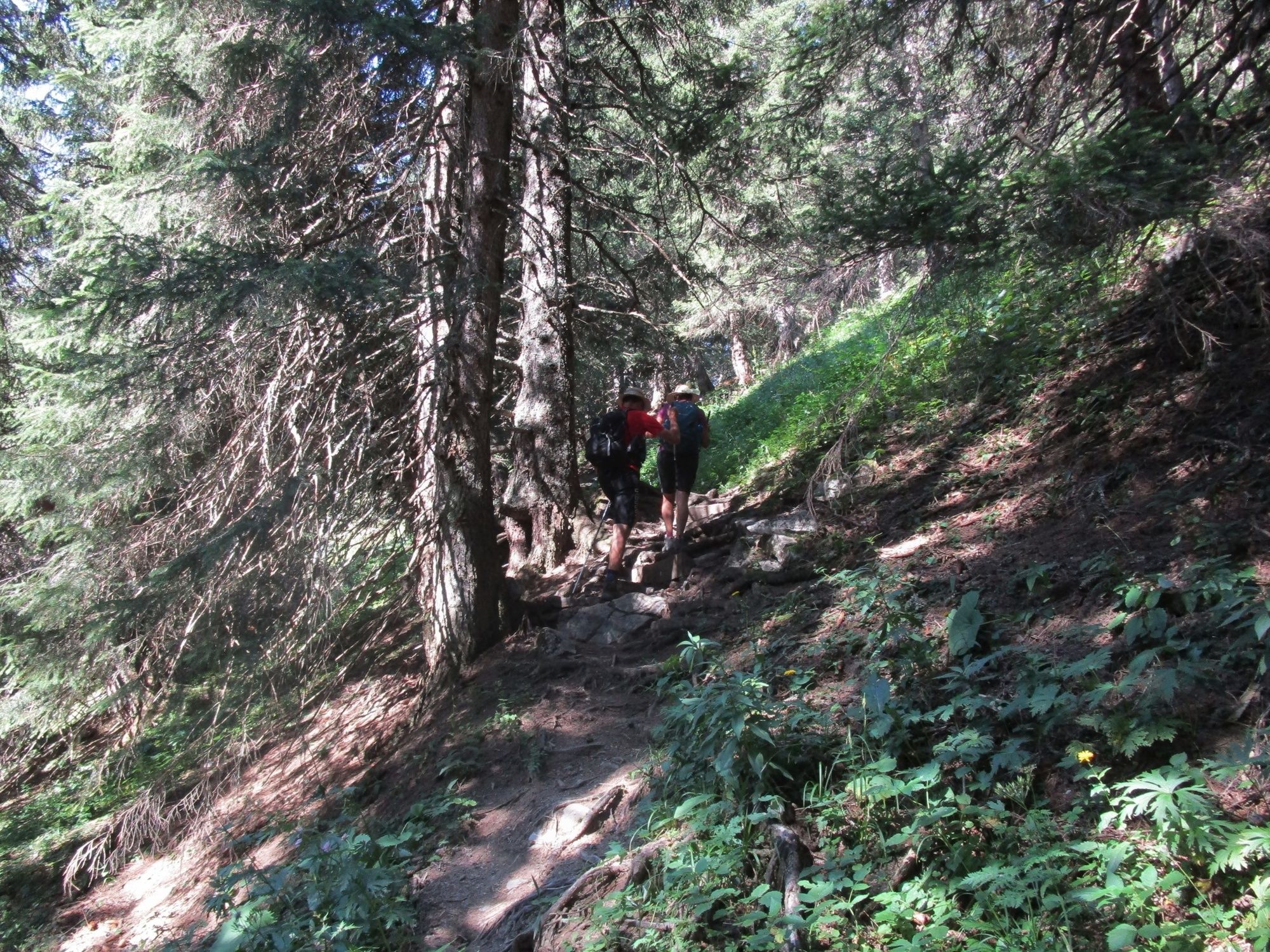
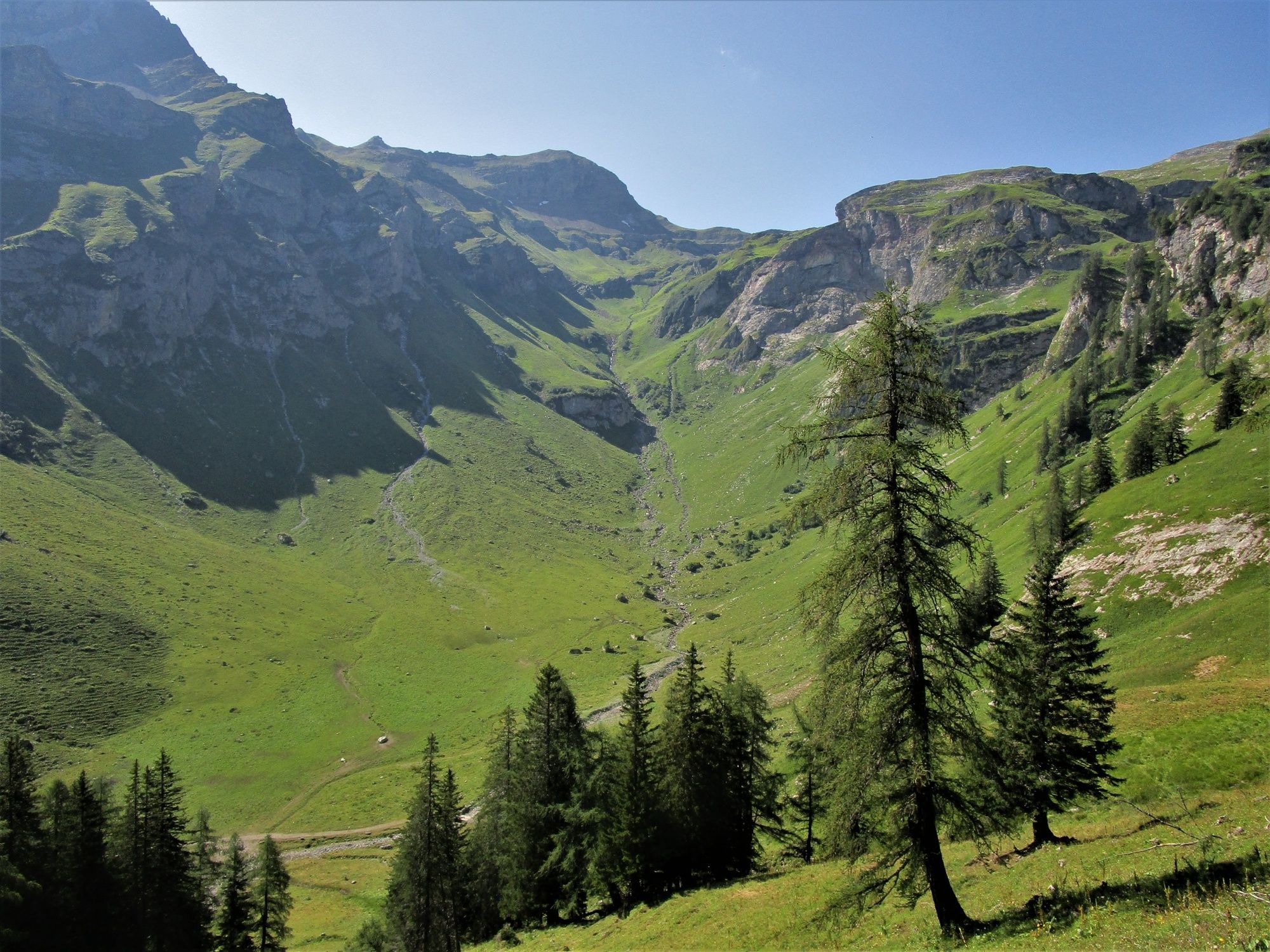
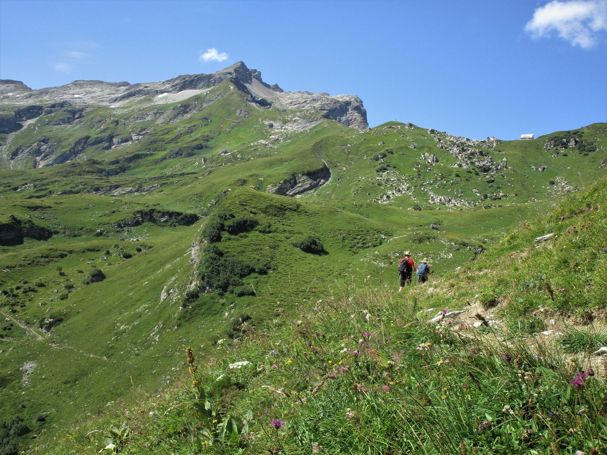
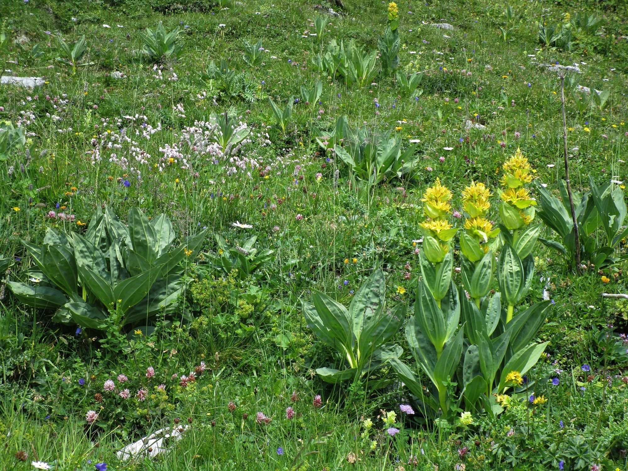
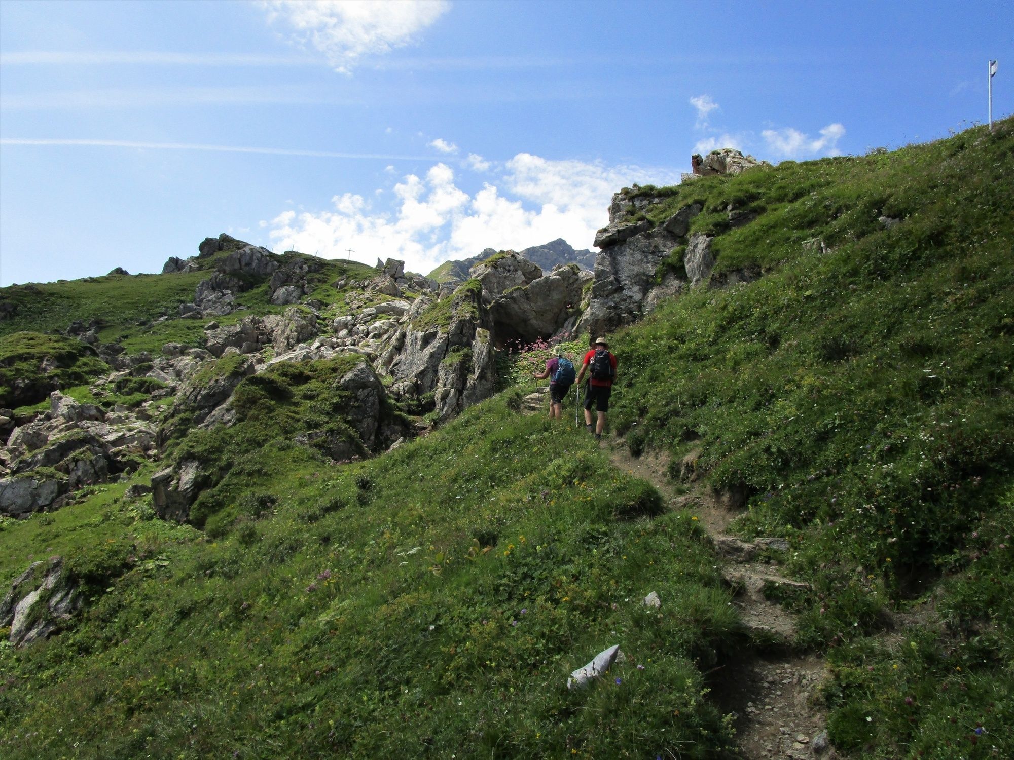
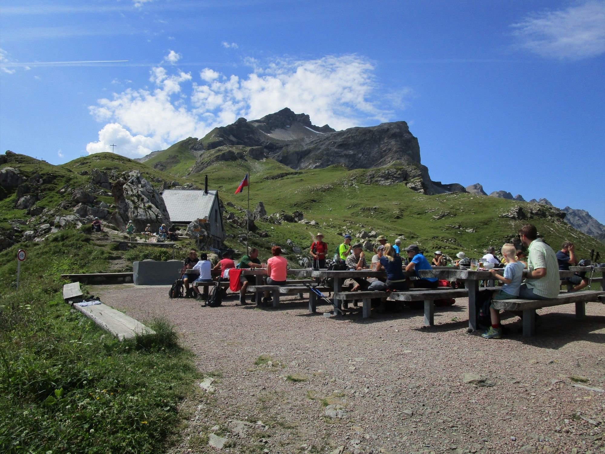
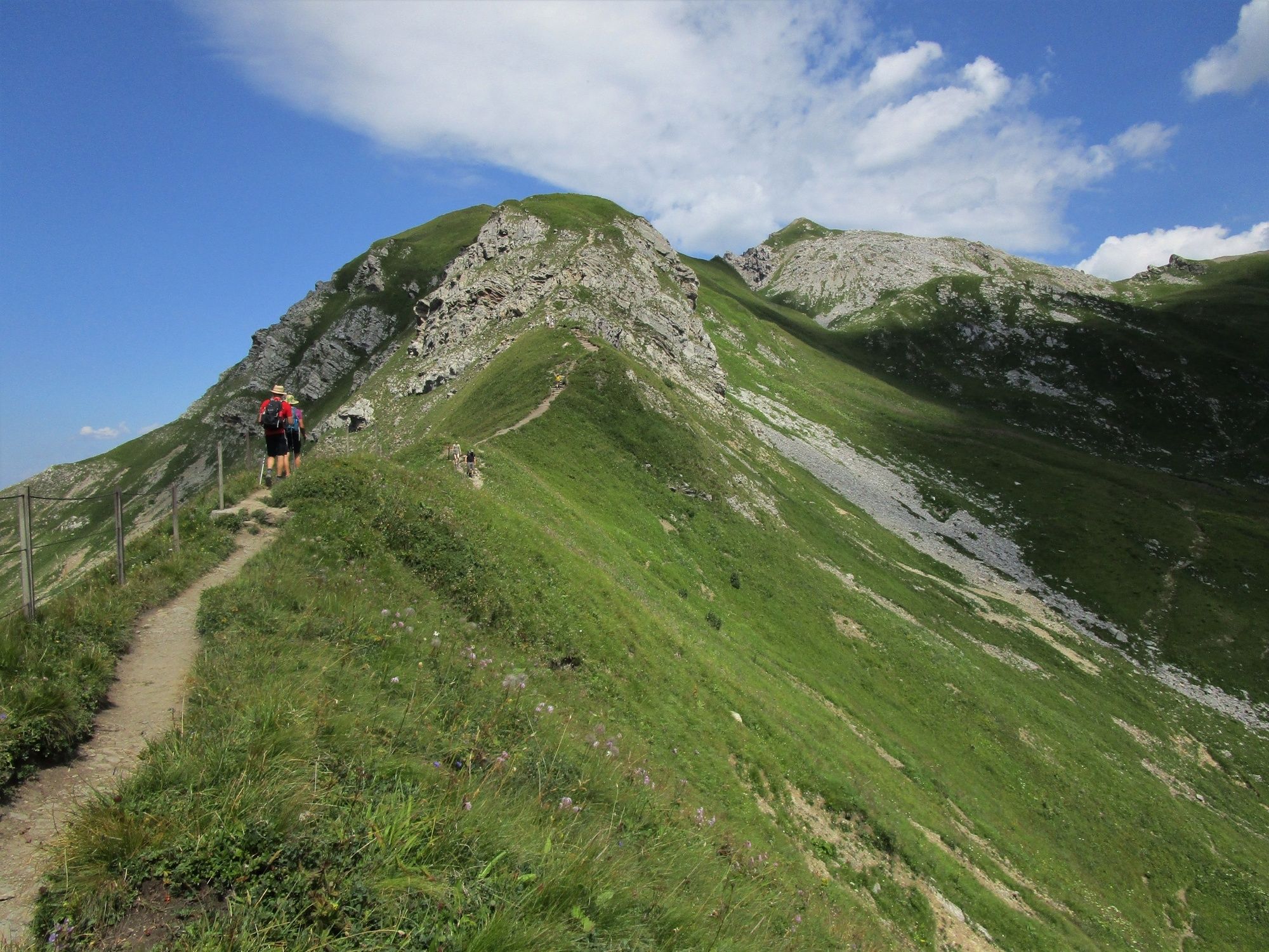
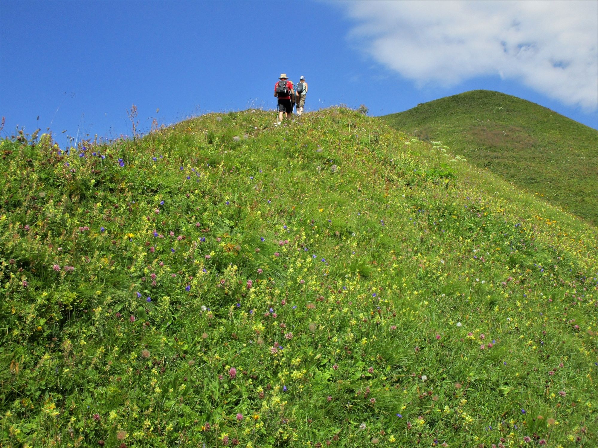
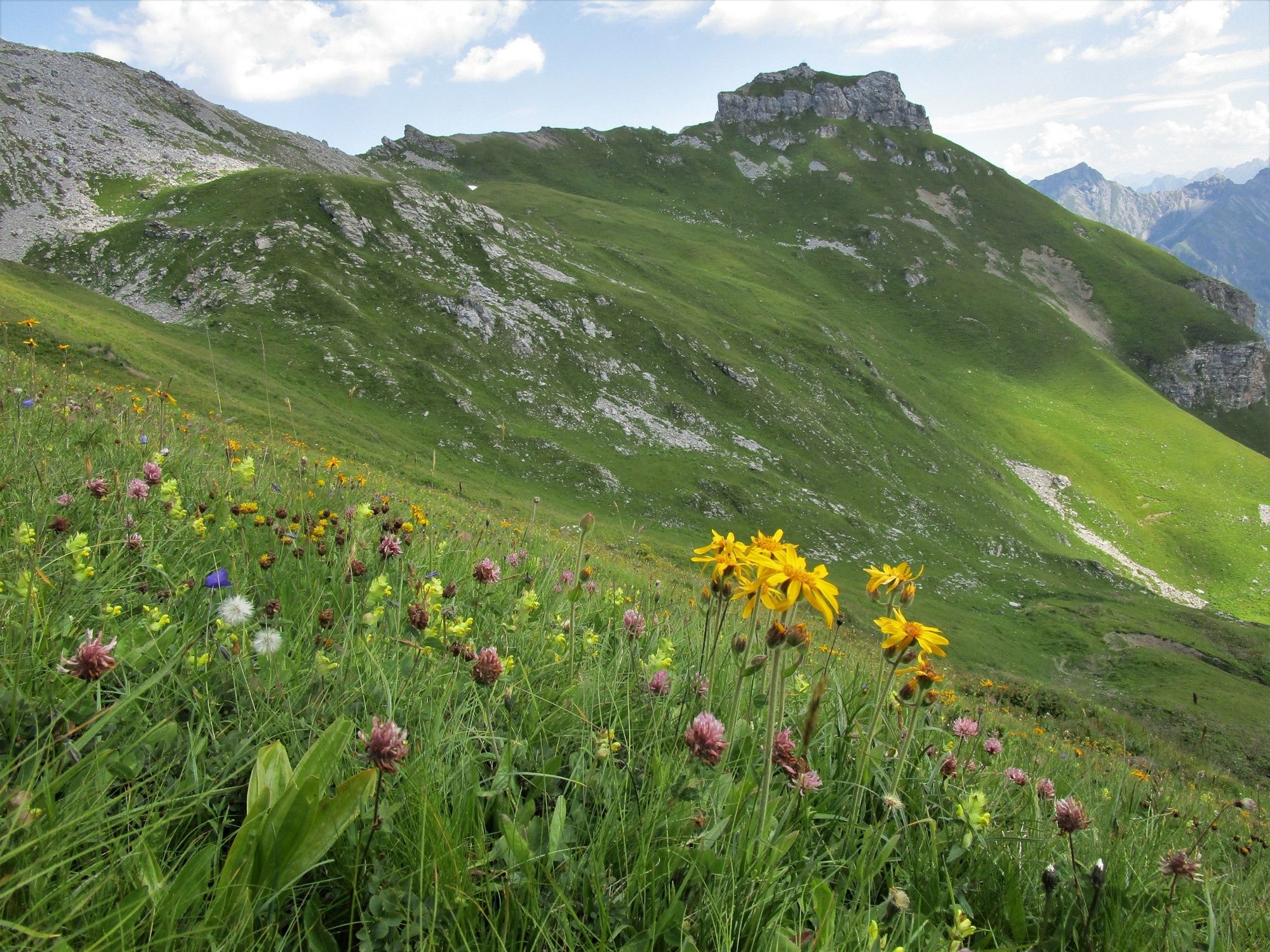
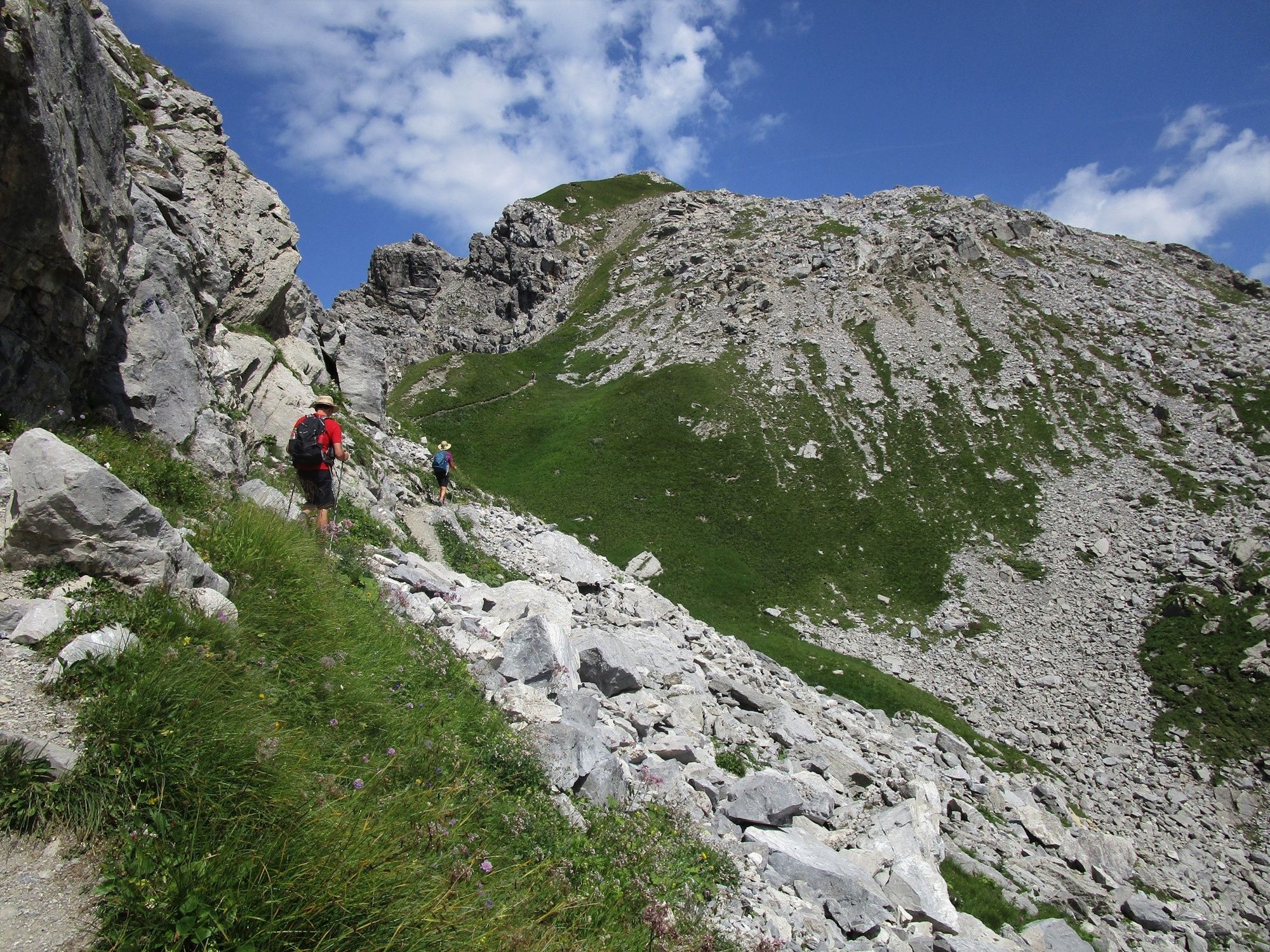
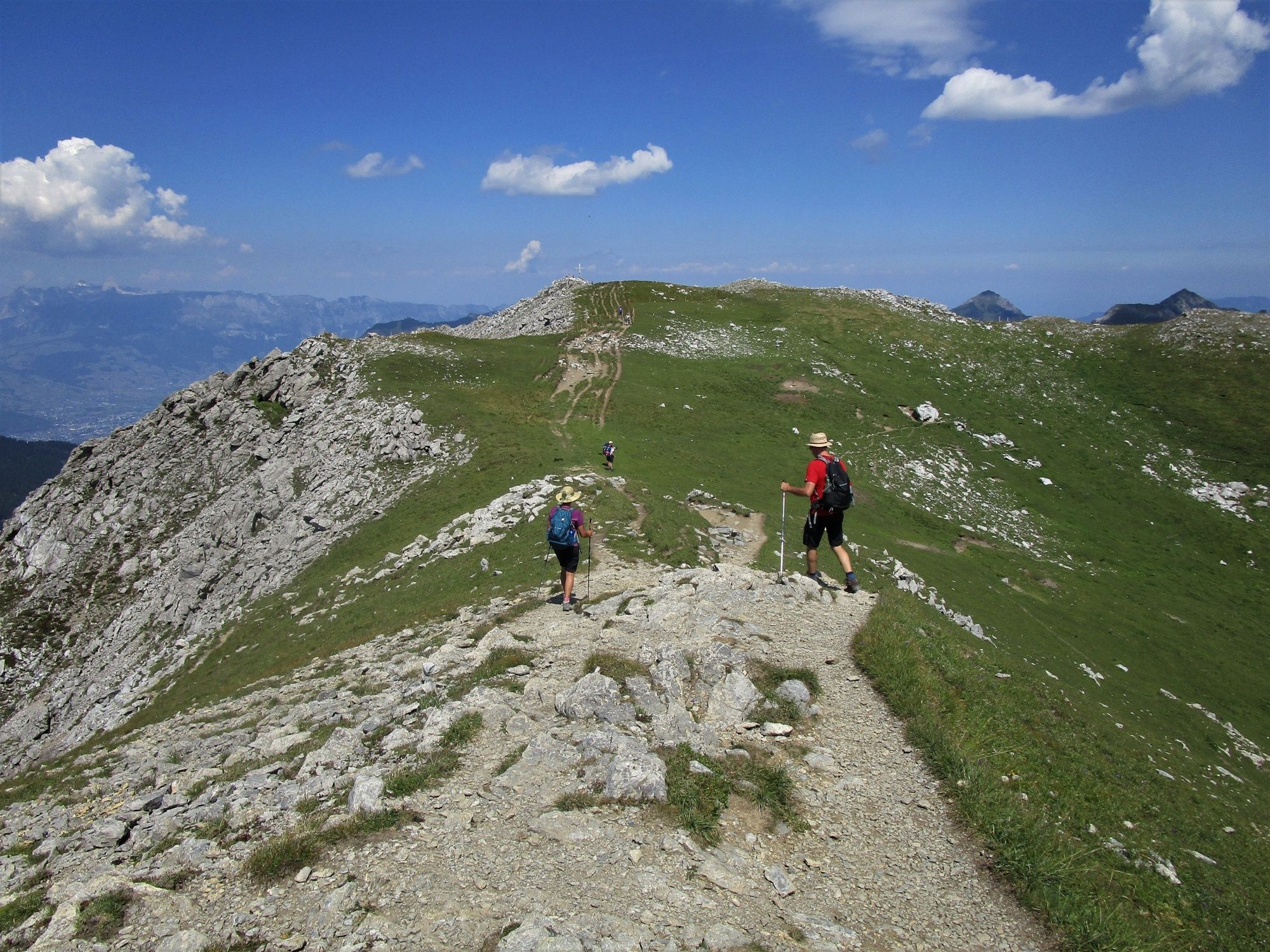
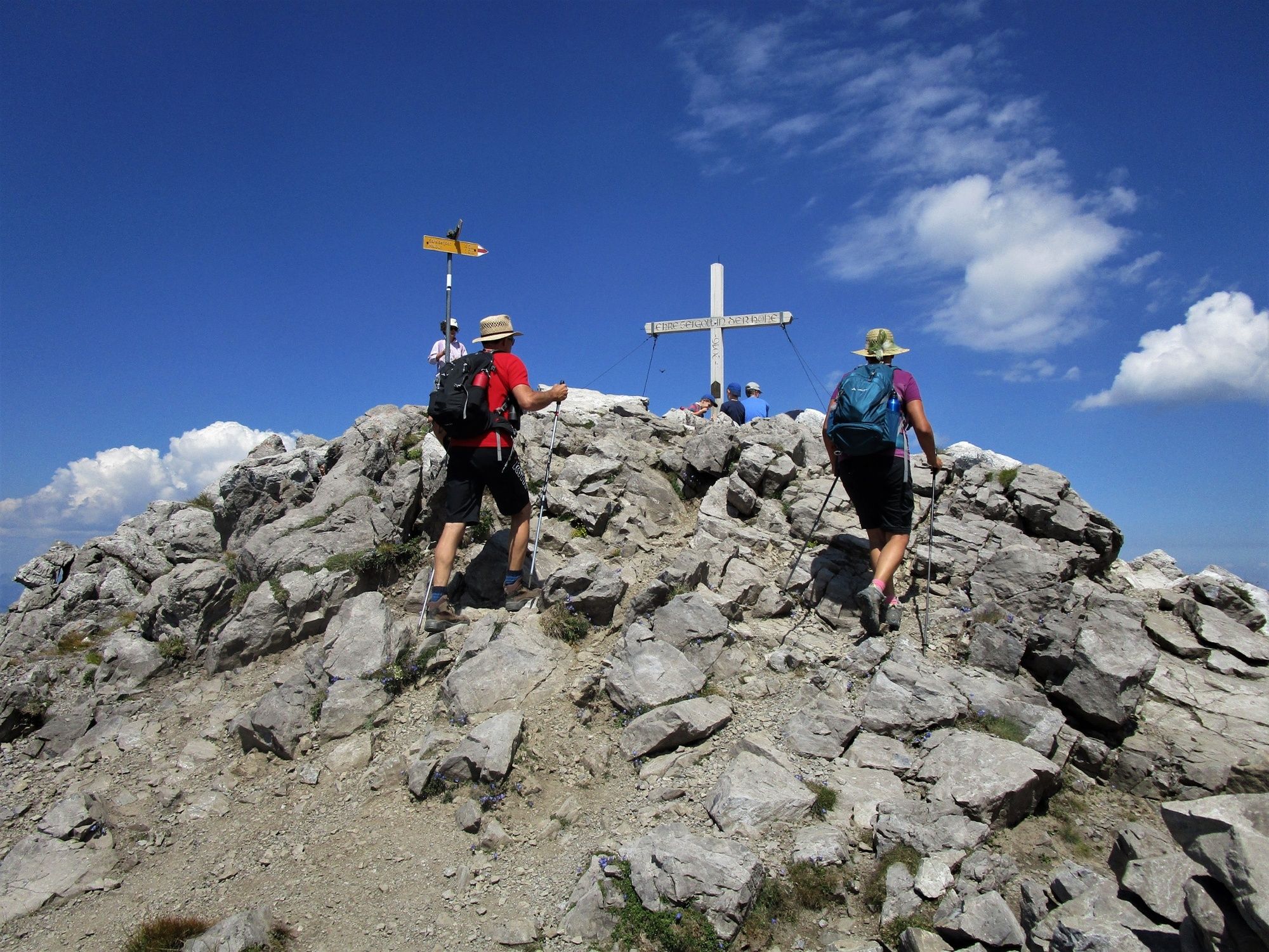
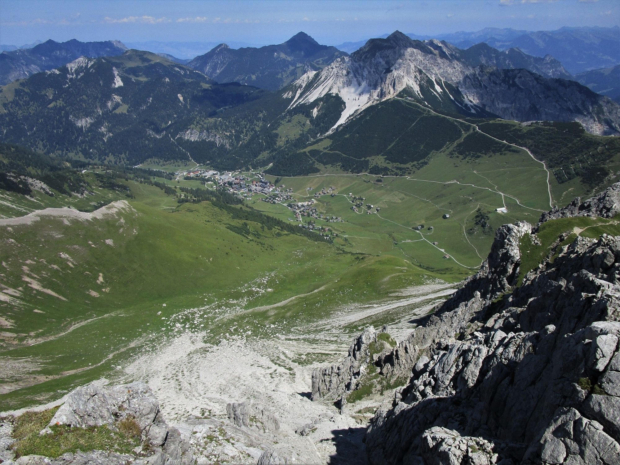
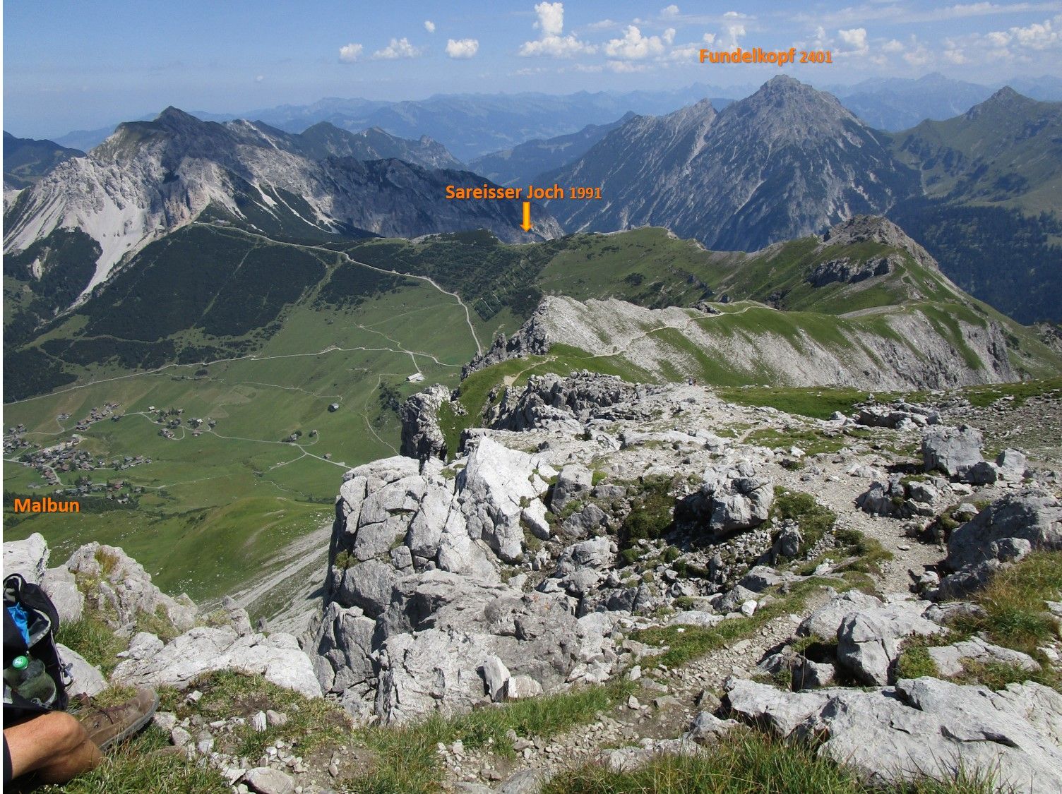
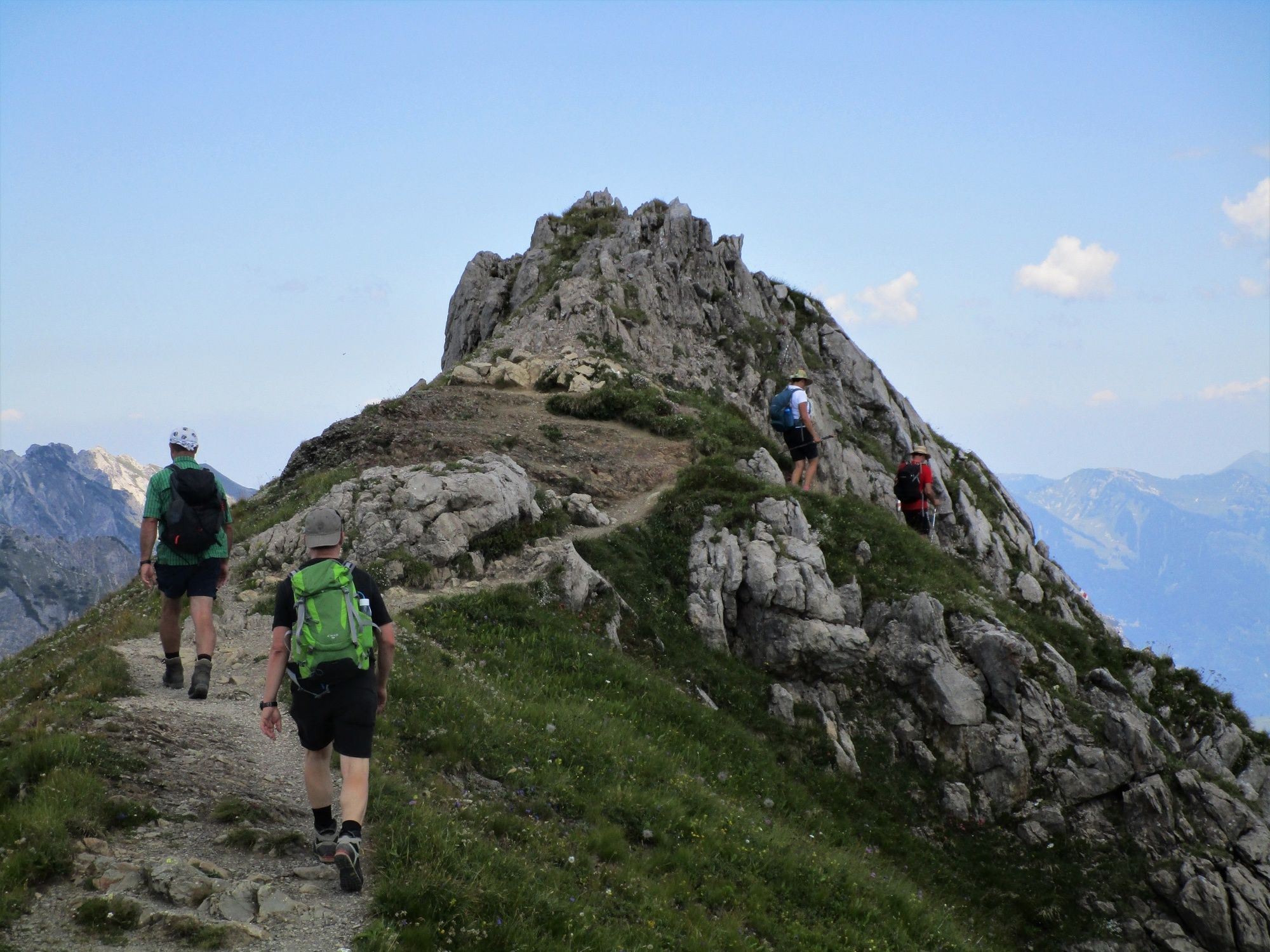
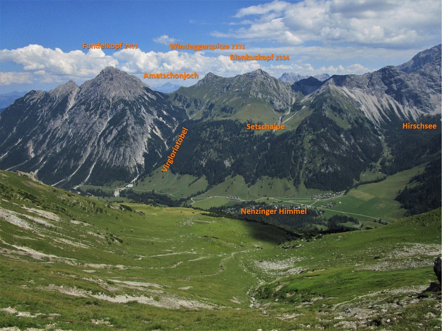
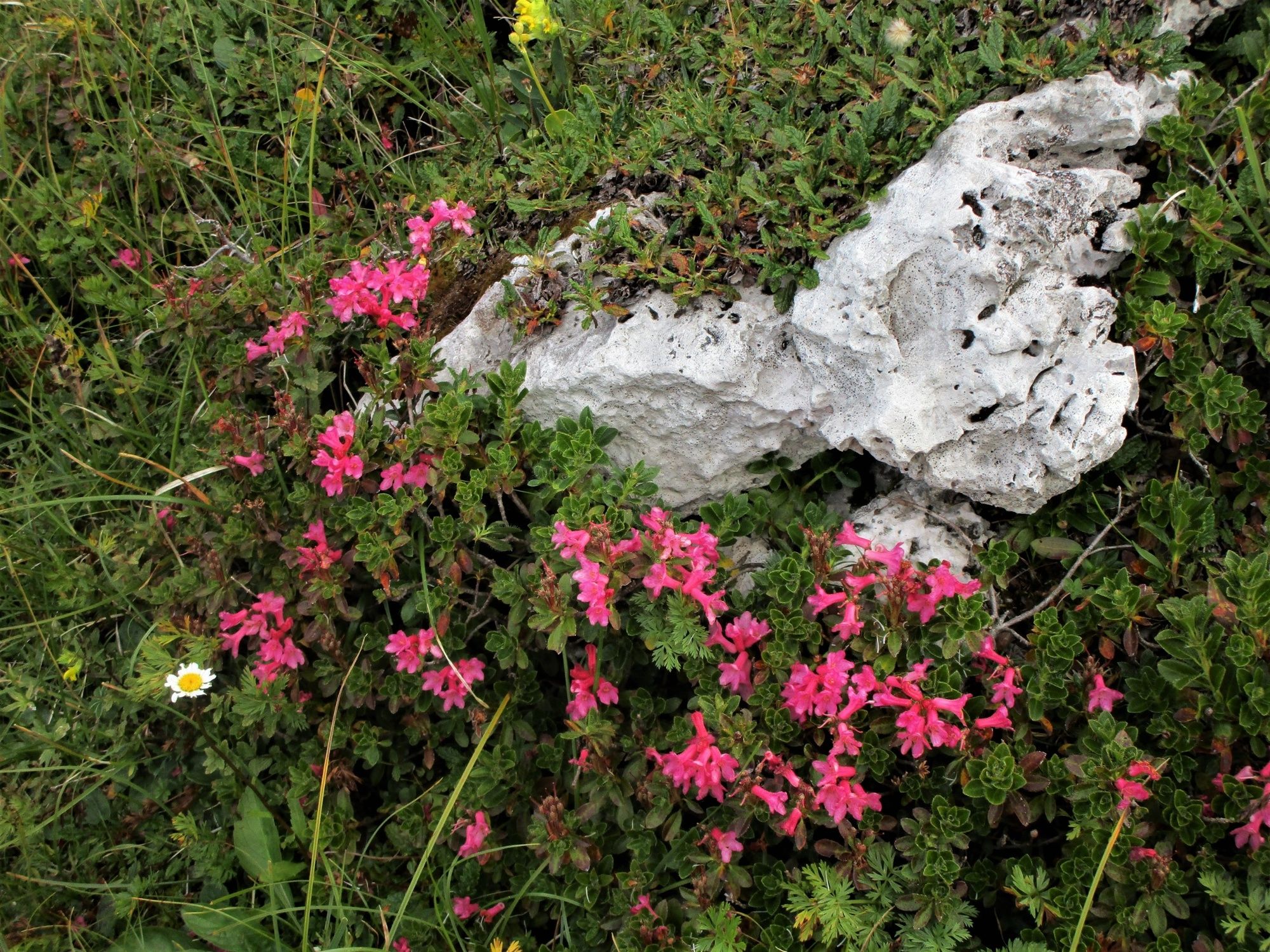
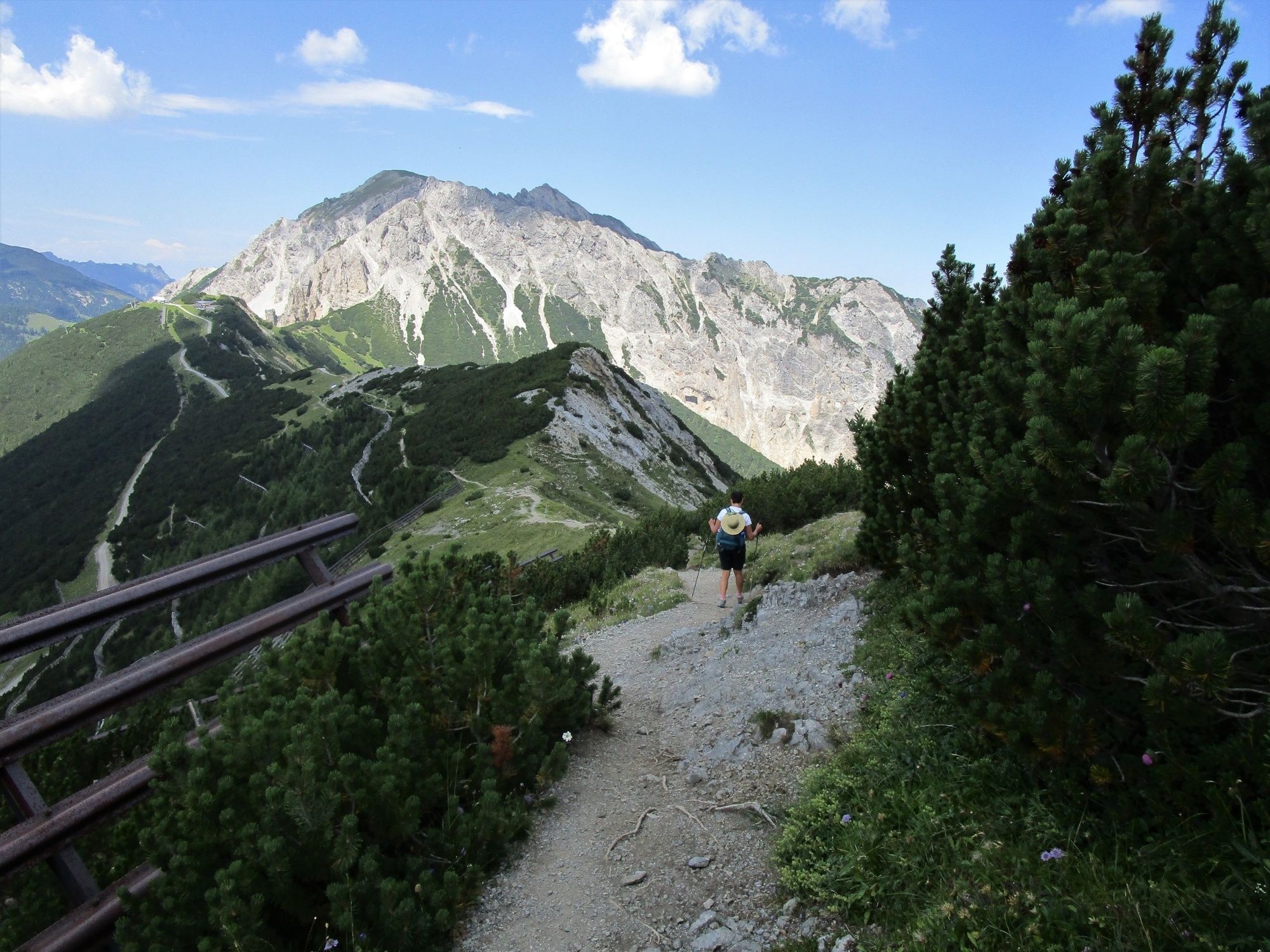
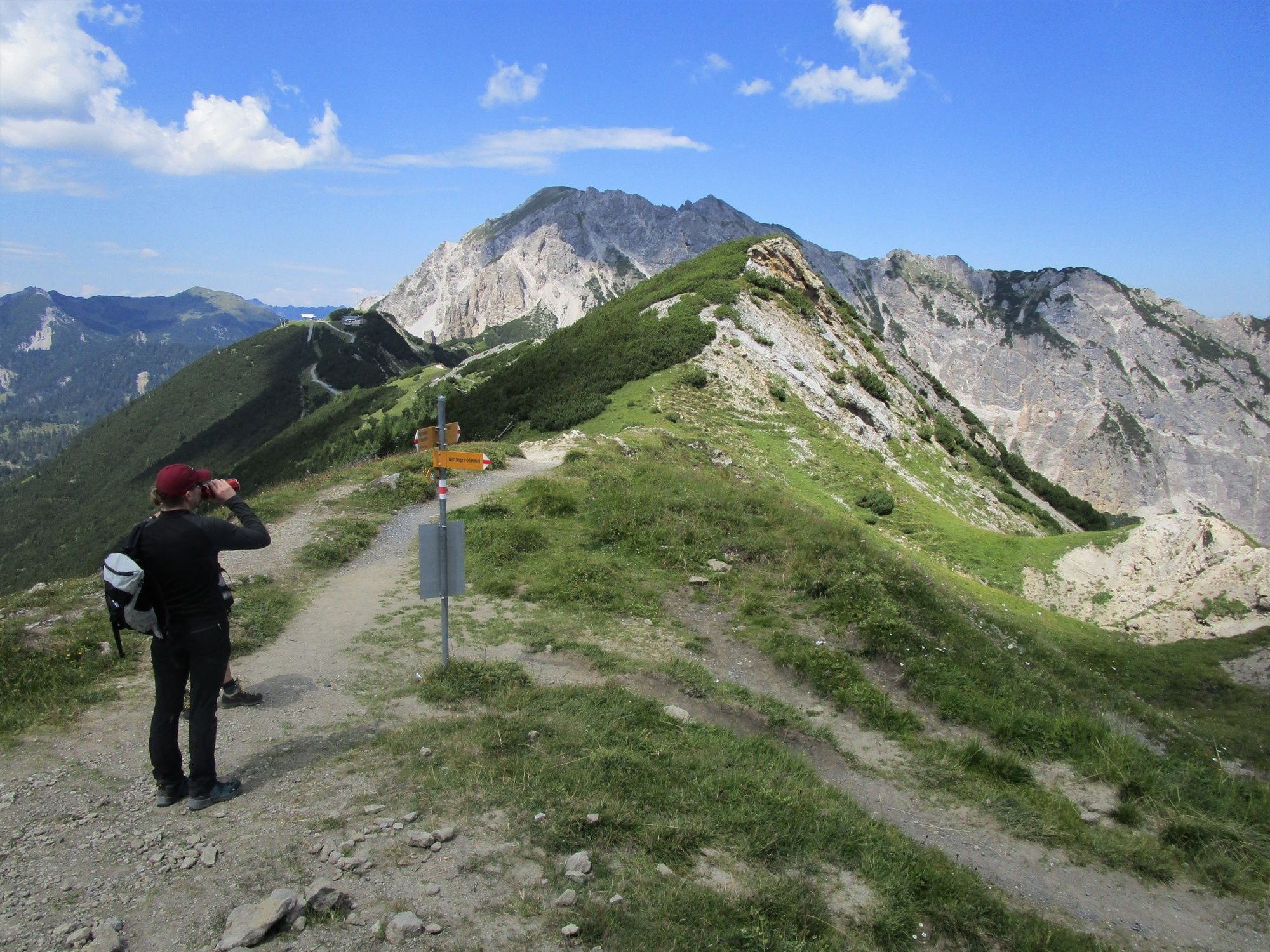
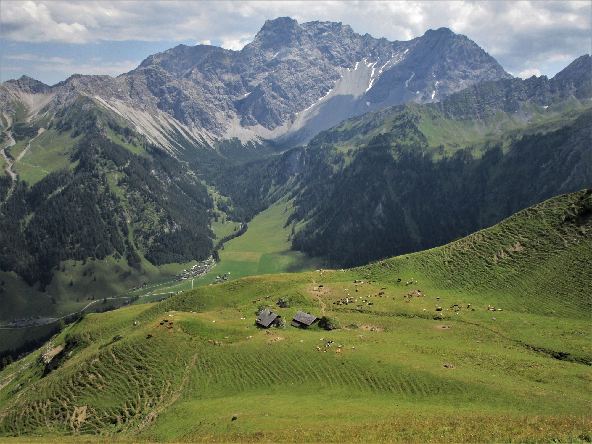
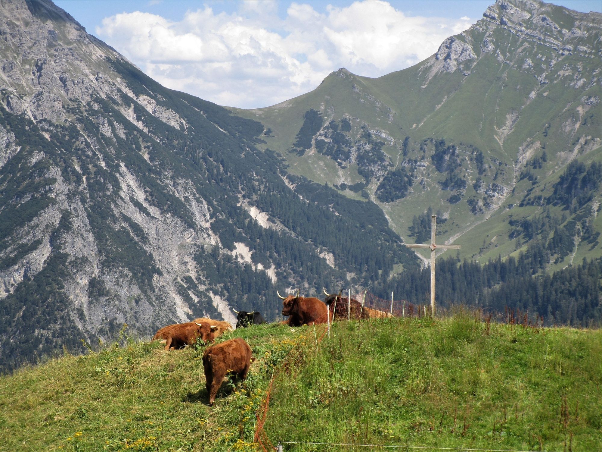
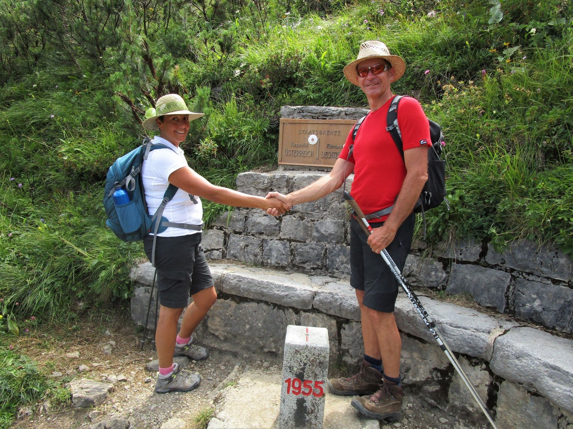
This high-altitude trail takes hikers to the Vorarlberg / Liechtenstein border region. The trip on the hiking bus through the Gamperdonatal valley is already an experience. The trail then leads through the Nenzinger Himmel across the Stüberfall, the Güfelalpe up to the Bettlerjoch (Pfälzer Hütte). It crosses unforgettable flower meadows above the tree line. The subsequent ridge hike via the Fürstin-Gina-Steig ascent to the Augstenberg and on to the Sreiserjoch is alpine hiking at its best, with magnificent views to the left into Switzerland and Liechtenstein and to the right into the Vorarlberg region and the Rätikon with its rugged limestone mountains. The descent leads past the Sässalpe, through mountain pine forests and sparse woods back to the Nenzinger Himmel.
- Directions
-
The hike starts after the informative trip from Nenzing through the long Gamperdonatal valley at the Alpengasthof Gamperdona (1360 m). The trail then heads south to the end of the valley and across the Stüberfall to the Güfelalpe (1560 m). At a small bridge over the still young Meng, the trail follows the ascent and first leads through a shady forest and then through flowery meadows to the Pfälzer Hütte (2110 m). From there, hikers must take the ‘Fürstin-Gina-Steig’ high trail to the Augstenberg (2359 m) and then follow the ridge down to the Sareiserjoch (1990 m). The descent into the Nenzinger Himmel takes a right across the Sässalpe (1858 m) before it returns to the starting point.
- Highest point
- 2,351 m
- Endpoint
-
Nenzinger Himmel
- Height profile
-

- Equipment
-
Ankle-high hiking boots with grip soles, poles and protection from the rain and sun.
- Safety instructions
-
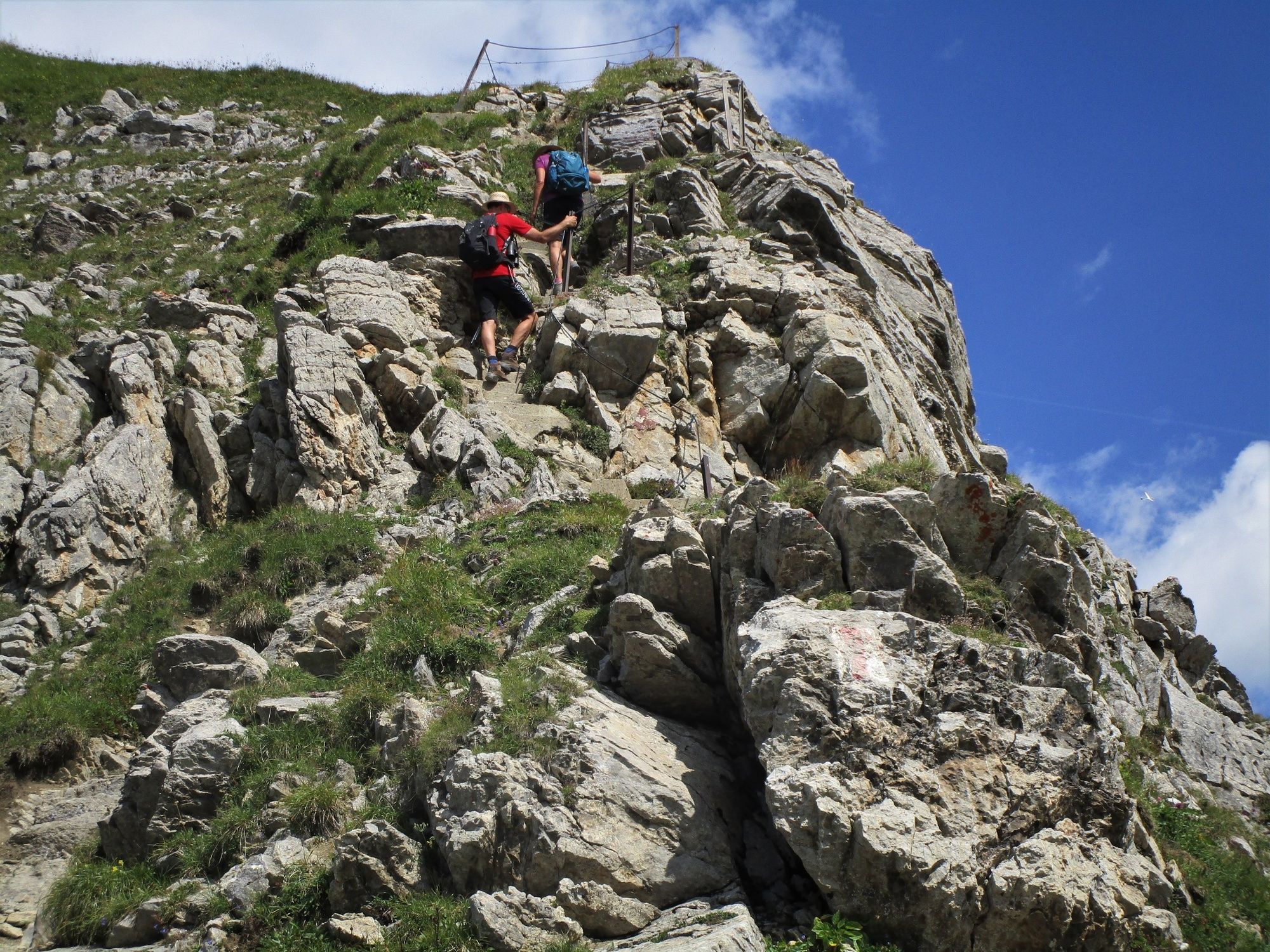
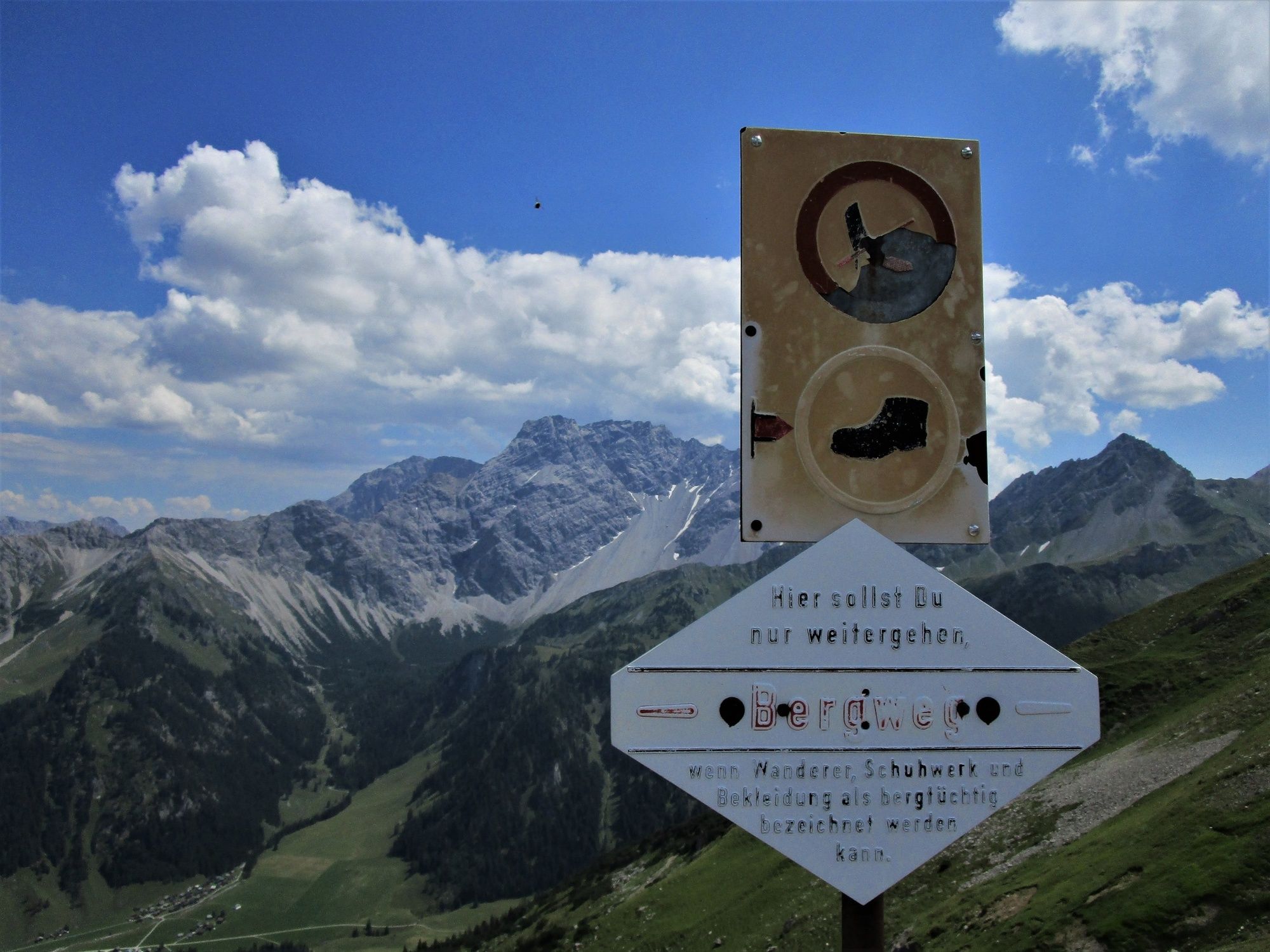
The Fürstin-Gina-Steig is a well-maintained and secured path. There’s a short steep section with a rope guard and concrete steps. A head for heights and sure-footedness are of benefit. Always take special care when conditions are wet.
- Tips
-
It’s also possible to hike this route in the opposite direction. The more ambitious may also opt to take in the Naafkopf (2571 m) from the Pfälzer Hütte.
- Directions
-
From the Nenzing exit on the A14 motorway to the centre of the village. Depending on the operator, from the centre to Bazulstraße 3 (Gantner) or to the right across the Landstraße to Schwedenstraße 7 (Lisi & Friedl)
- Public transportation
-
It’s just a short walk to the hiker bus of choice after arriving in Nenzing by train. Hikers may alternatively arrange to be picked up at the train station when they make the necessary call to make their reservations.
- Parking
-
Available at the hiking bus operators.


- Author
-
The tour High-altitude tour: Nenzinger Himmel – Pfälzer Hütte – Augstenberg is used by outdooractive.com provided.


General info
-
Heidiland
2199
-
Liechtenstein
1287
-
Malbun
308


