


- Brief description
-
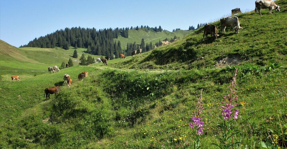
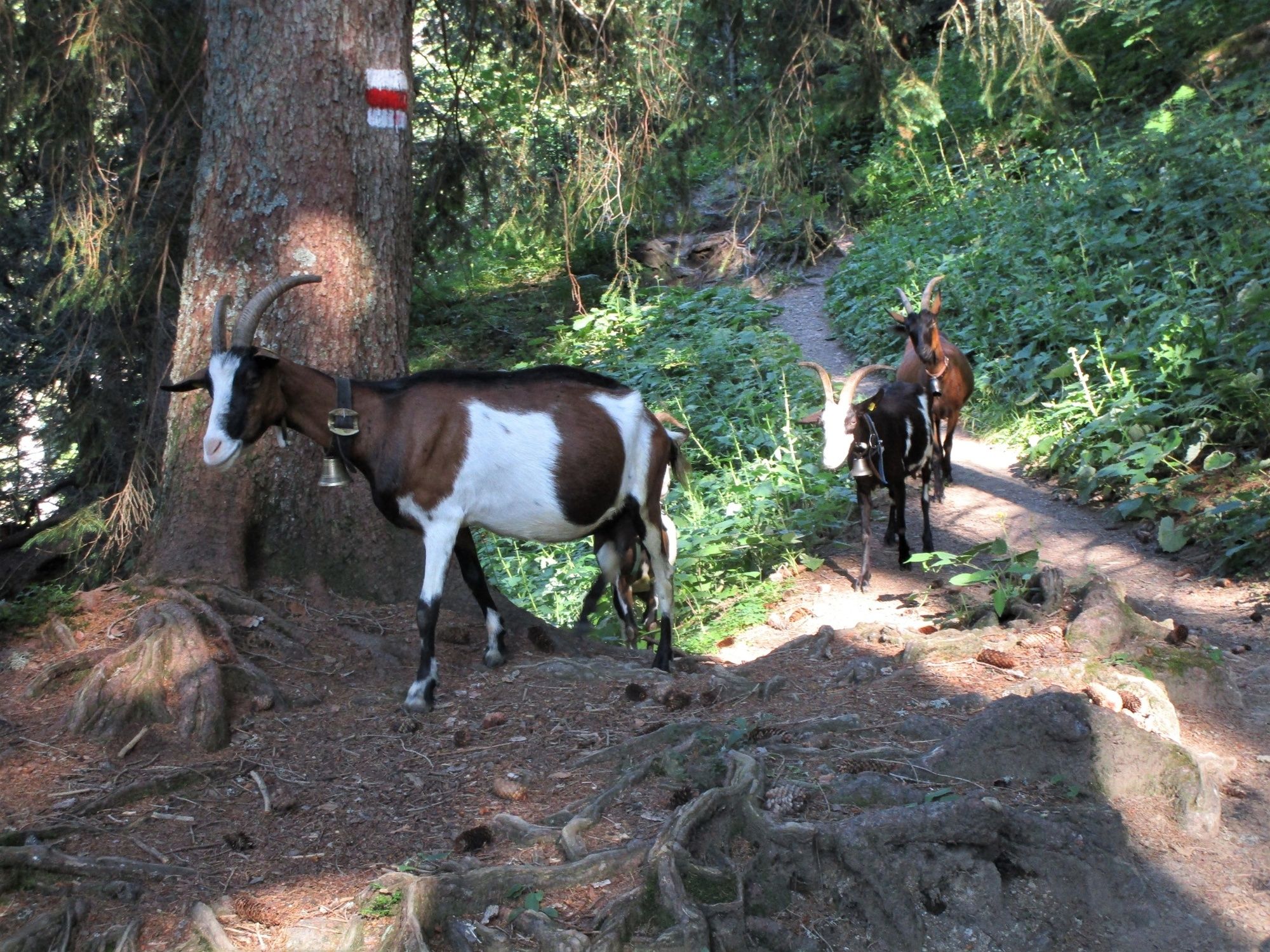
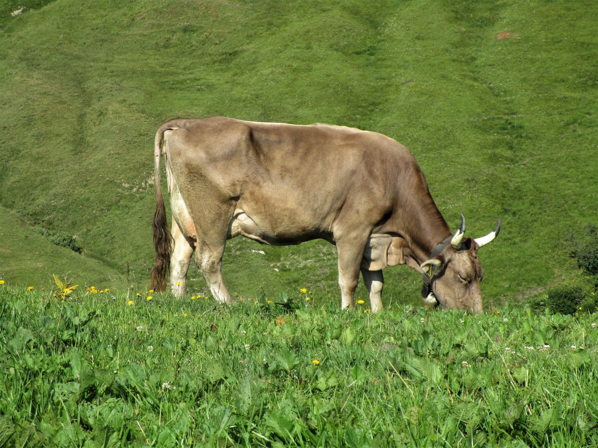
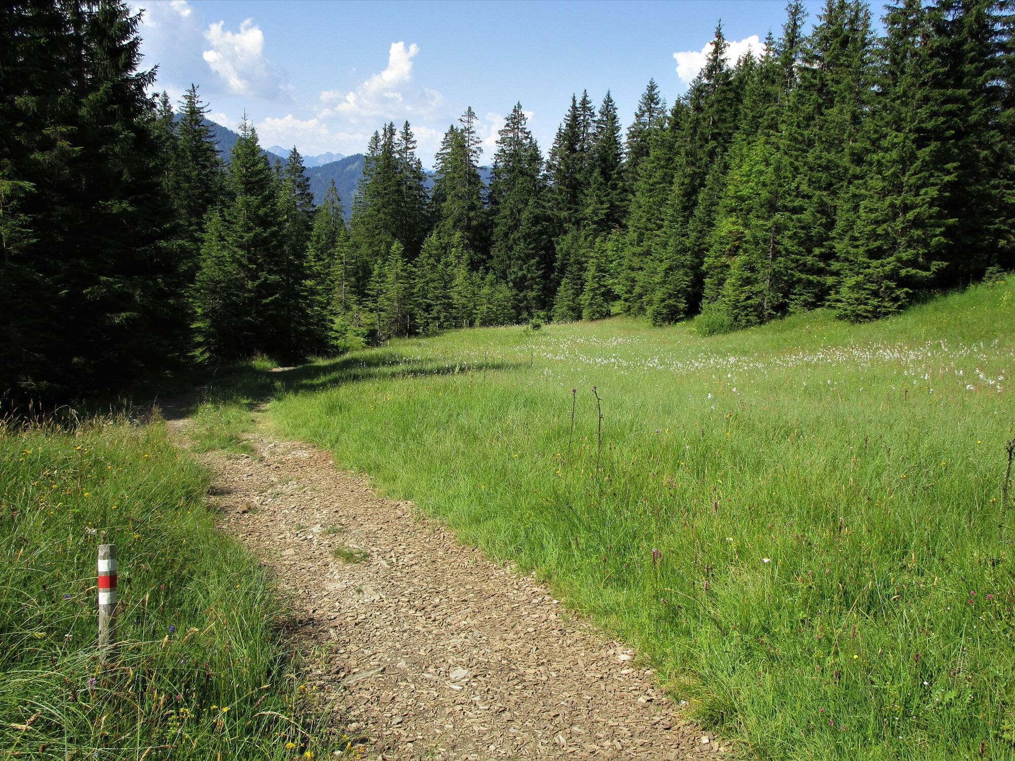
Ausgehend von Kühboden (Talstation des Sessellifts Gapfohl) führt dieser Rundweg durch die von den Bauern geprägte Kulturlanschaft. Dabei kommen sie bei mehrere Alpen im hinteren Laternsertal vorbei und erleben die Vorarlberger Alpwirtschaft hautnah.
- Difficulty
-
medium
- Rating
-
- Route
-
Hotel KühbodenRestaurant KuhstallInnerlaterns0.0 kmGerstenboden1.7 kmBad Laterns (1,147 m)5.1 kmUntere Saluveralpe (1,564 m)9.0 kmHotel Kühboden14.6 kmInnerlaterns14.6 kmRestaurant Kuhstall14.6 km
- Best season
-
JanFebMarAprMayJunJulAugSepOctNovDec
- Description
-
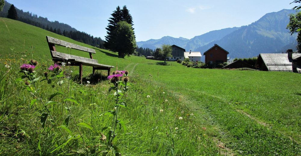
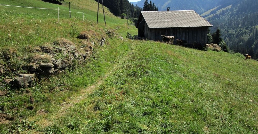
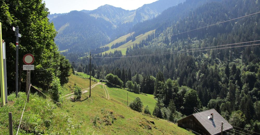
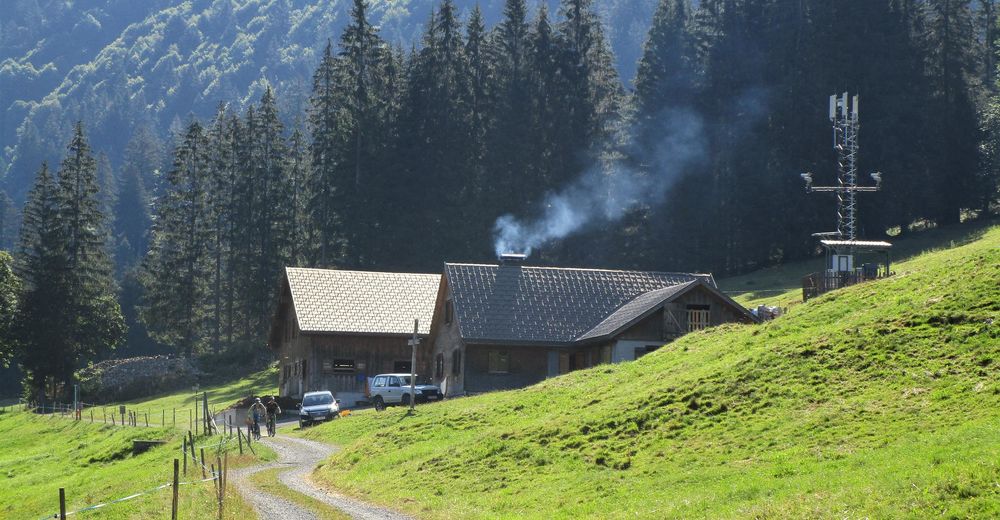
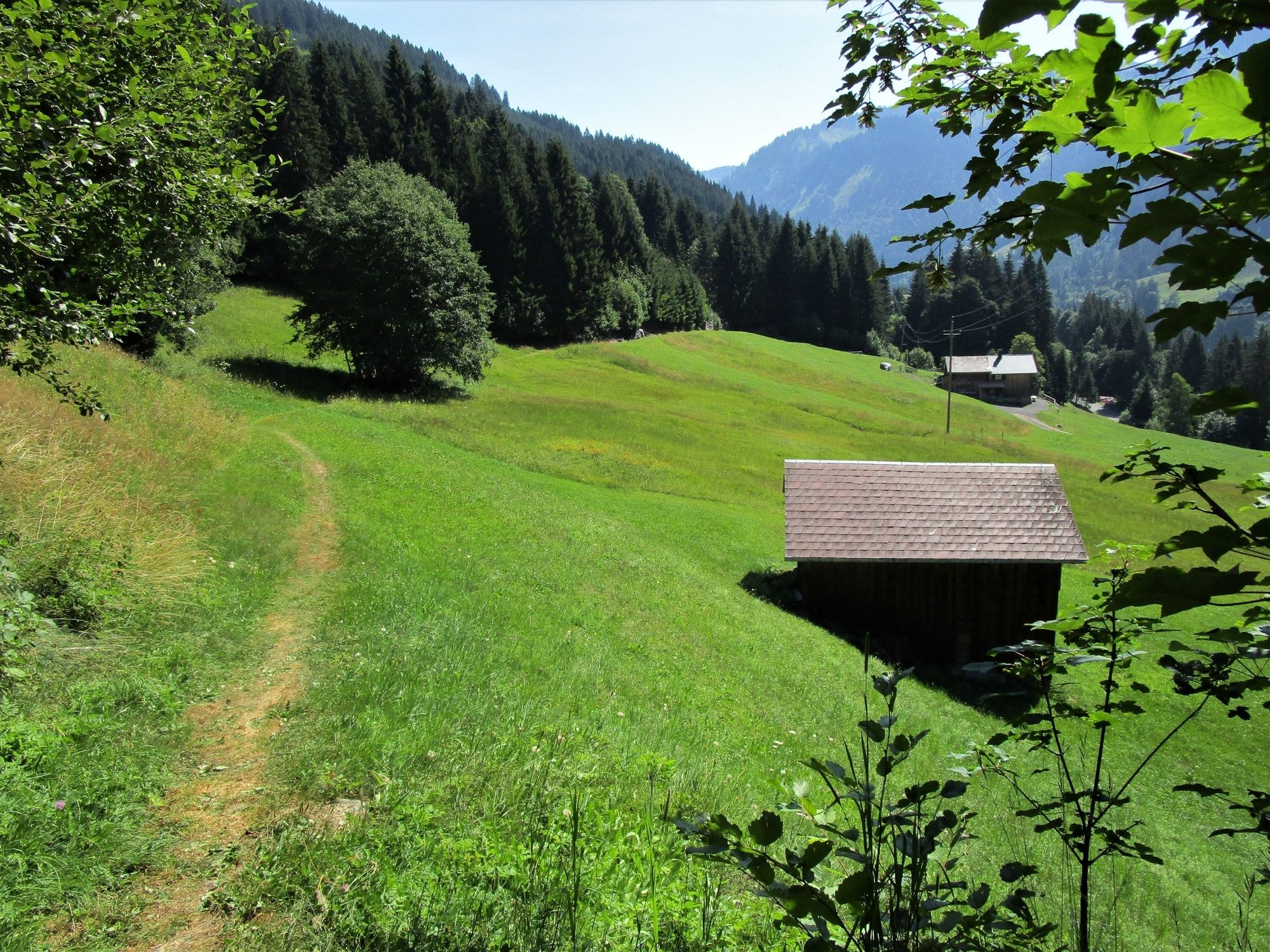
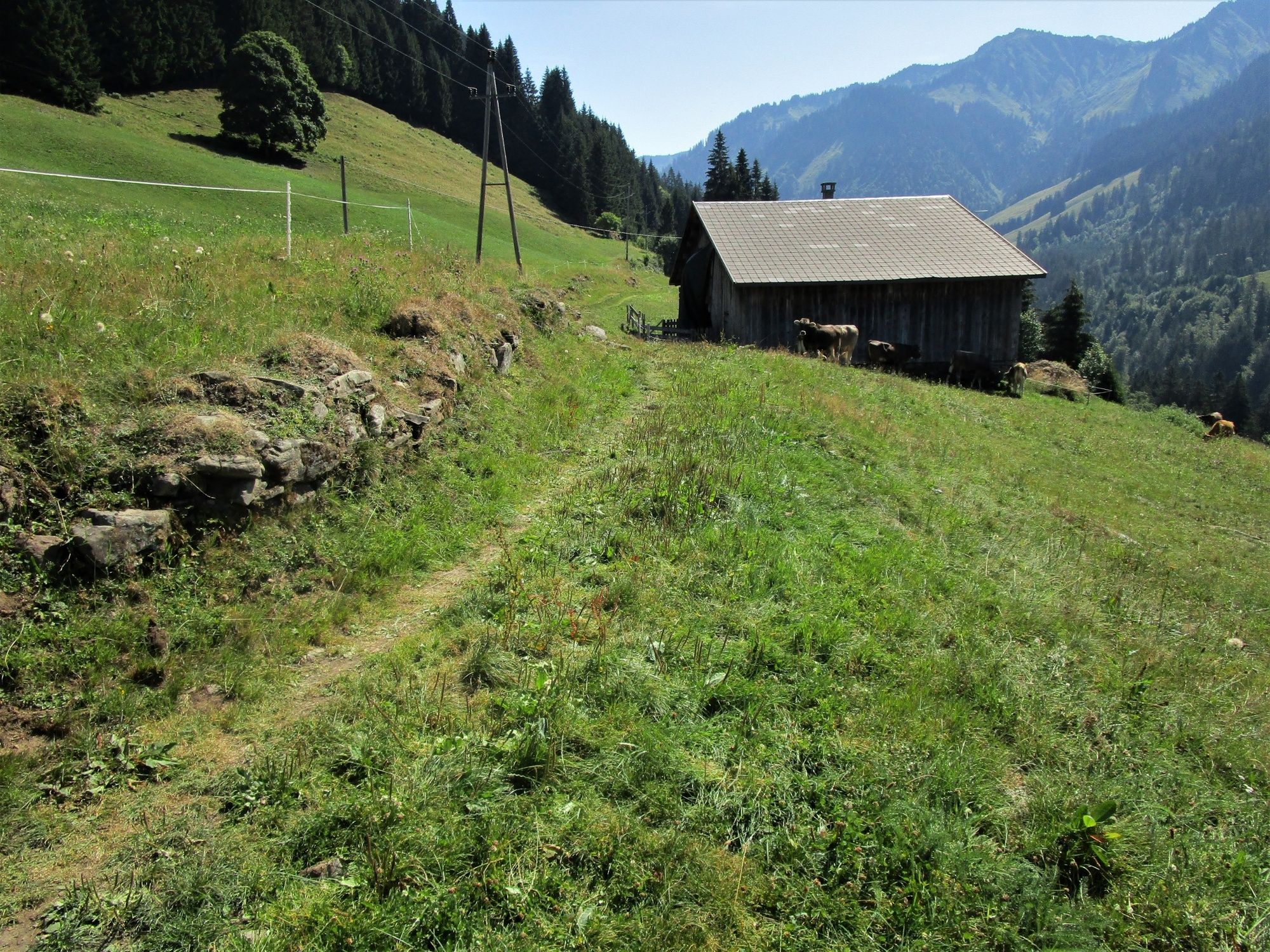
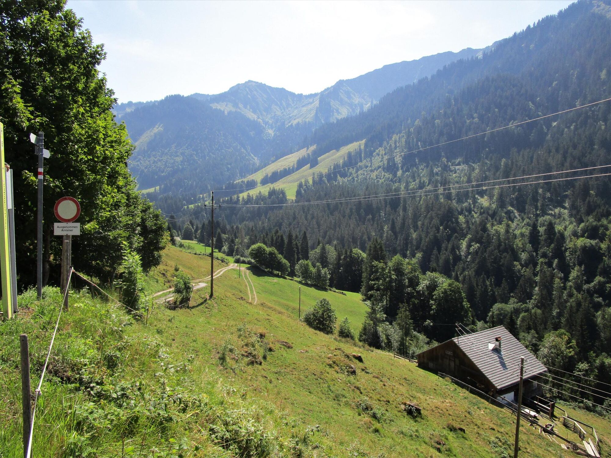
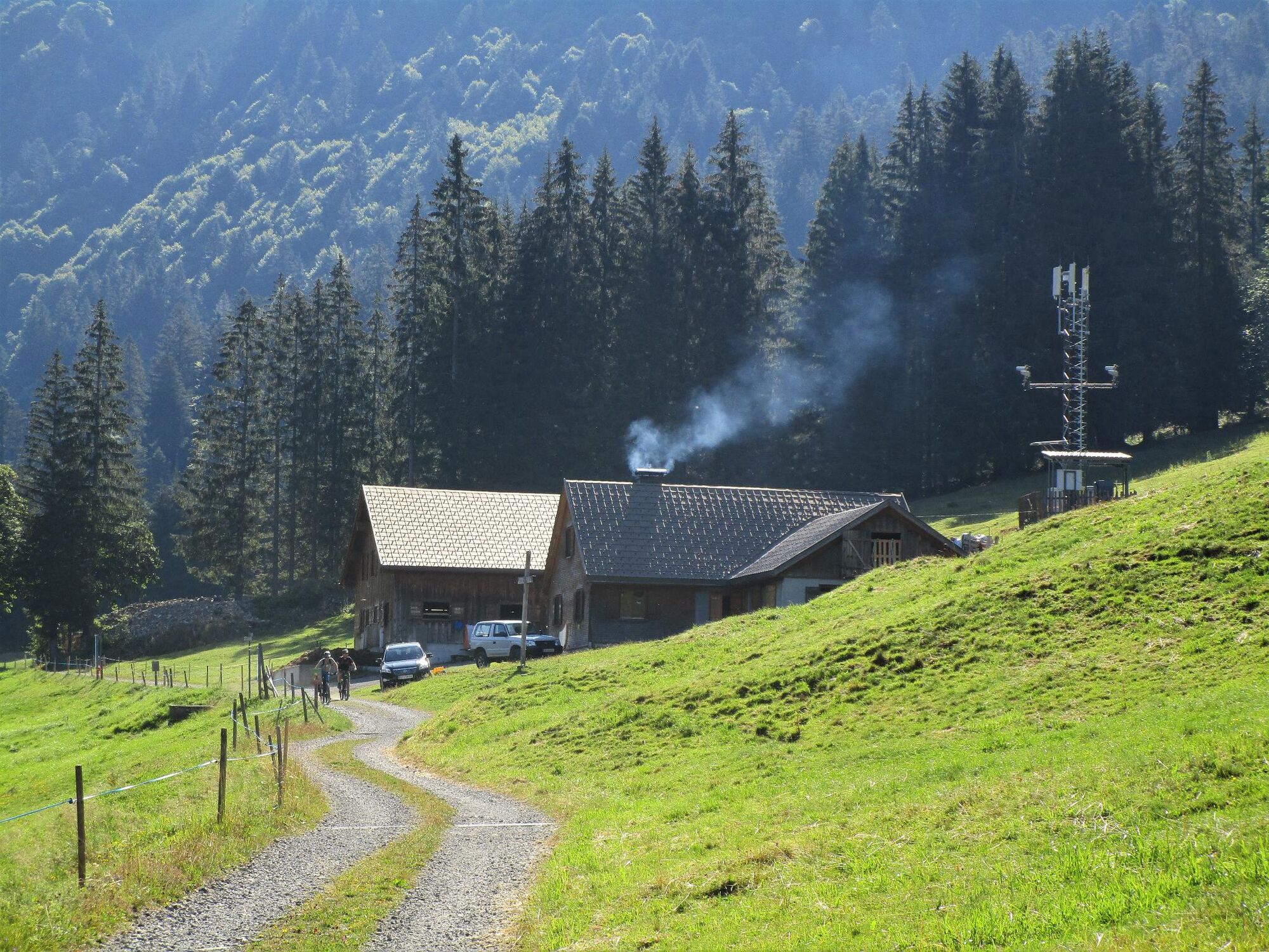
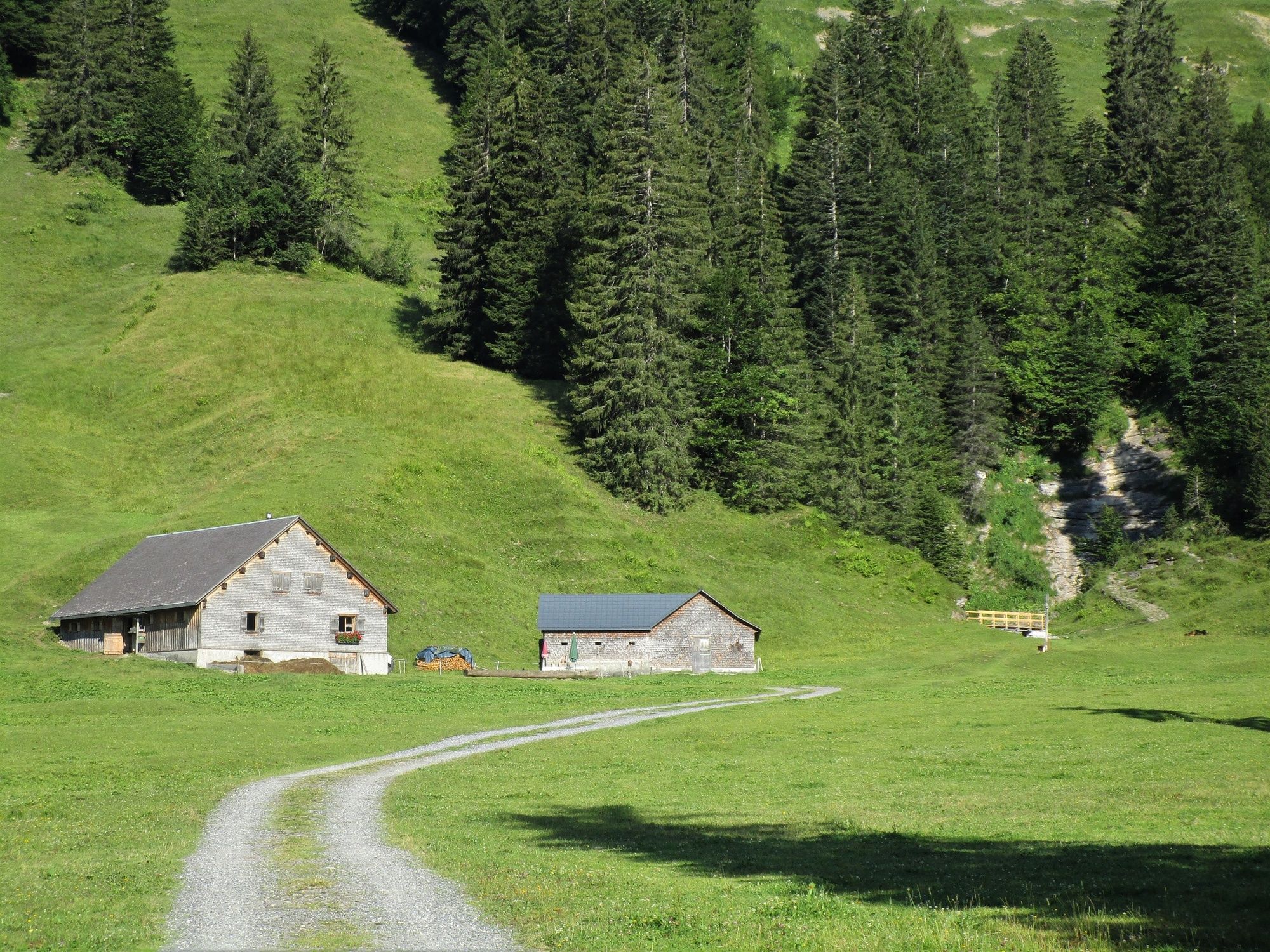
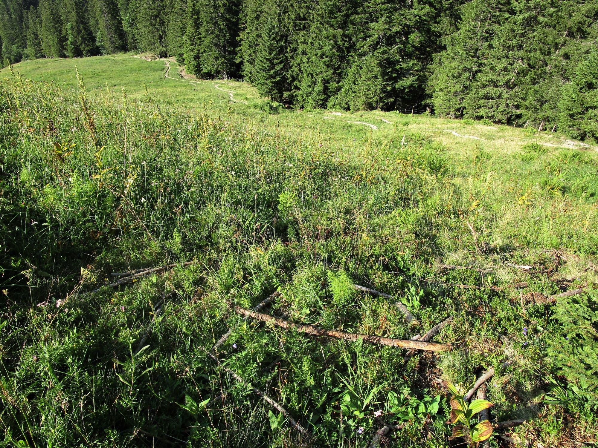
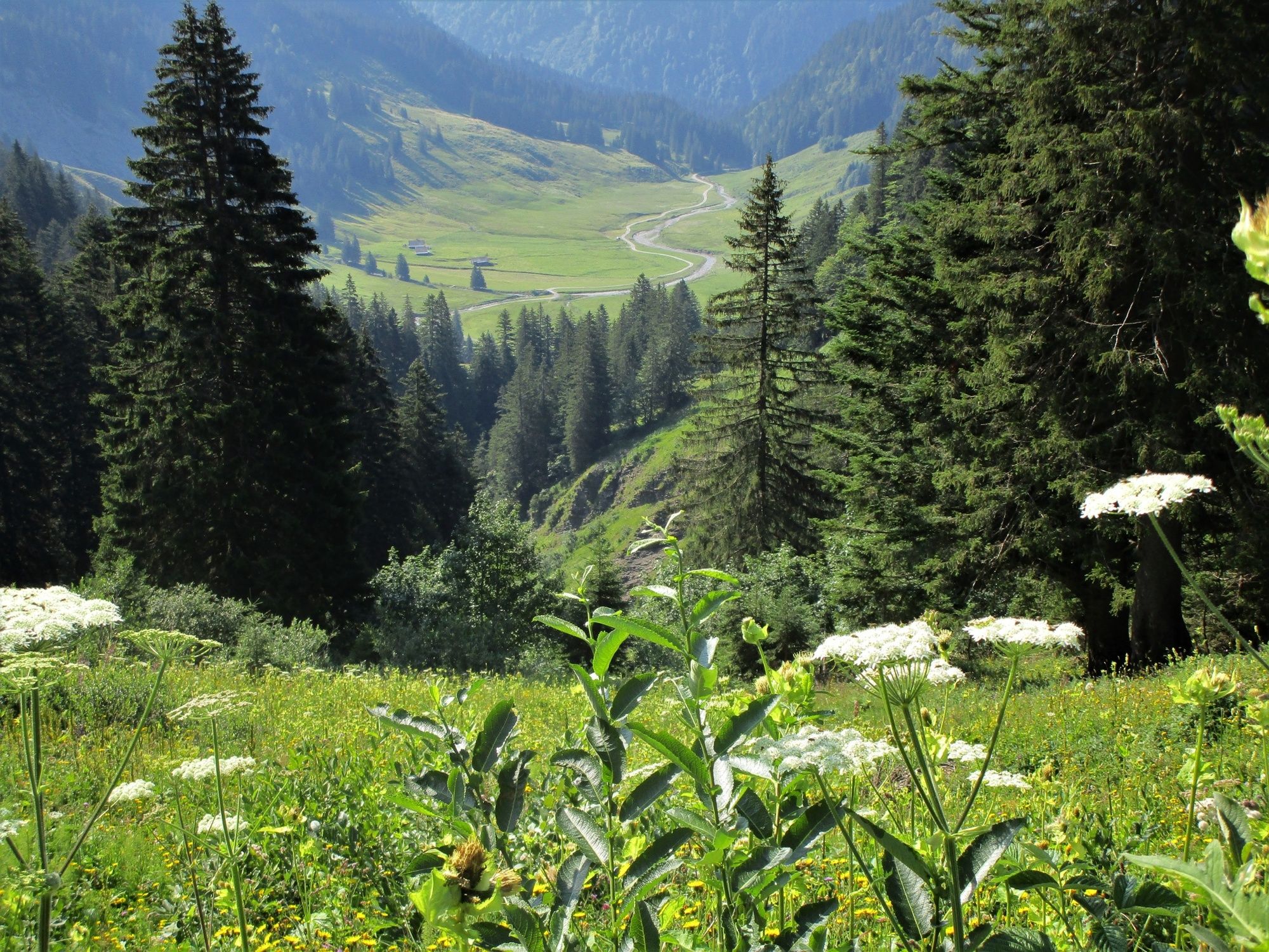
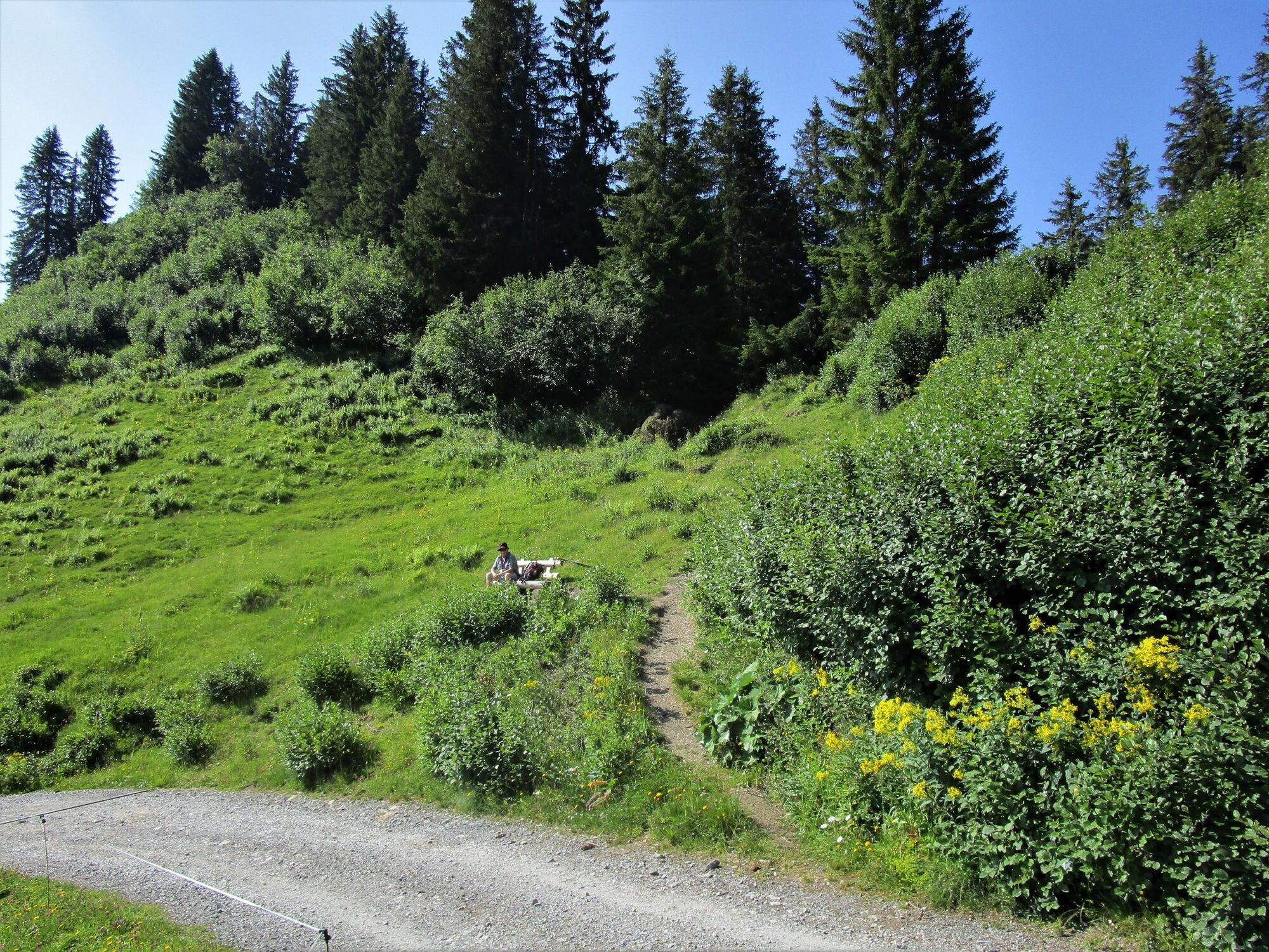
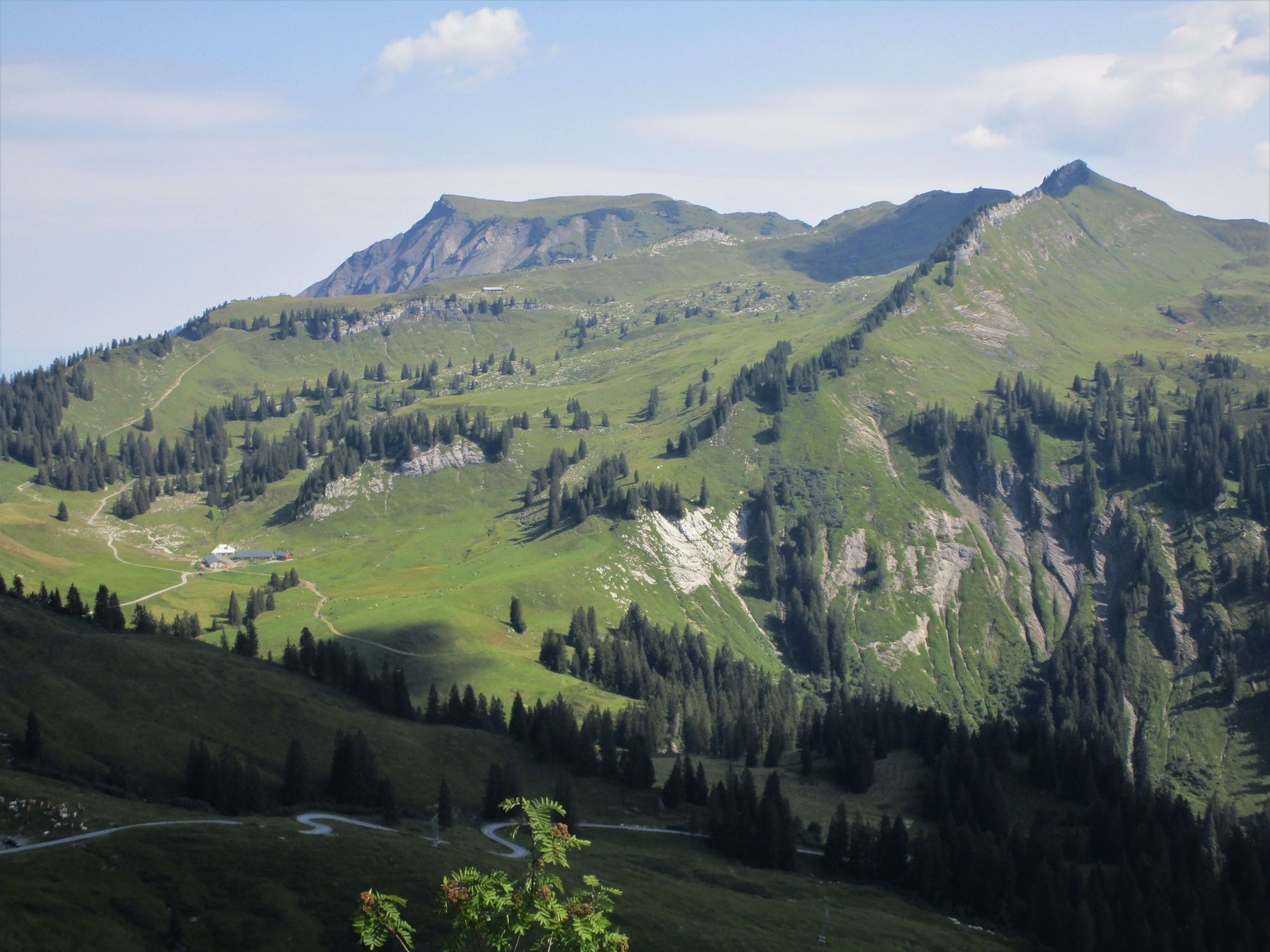
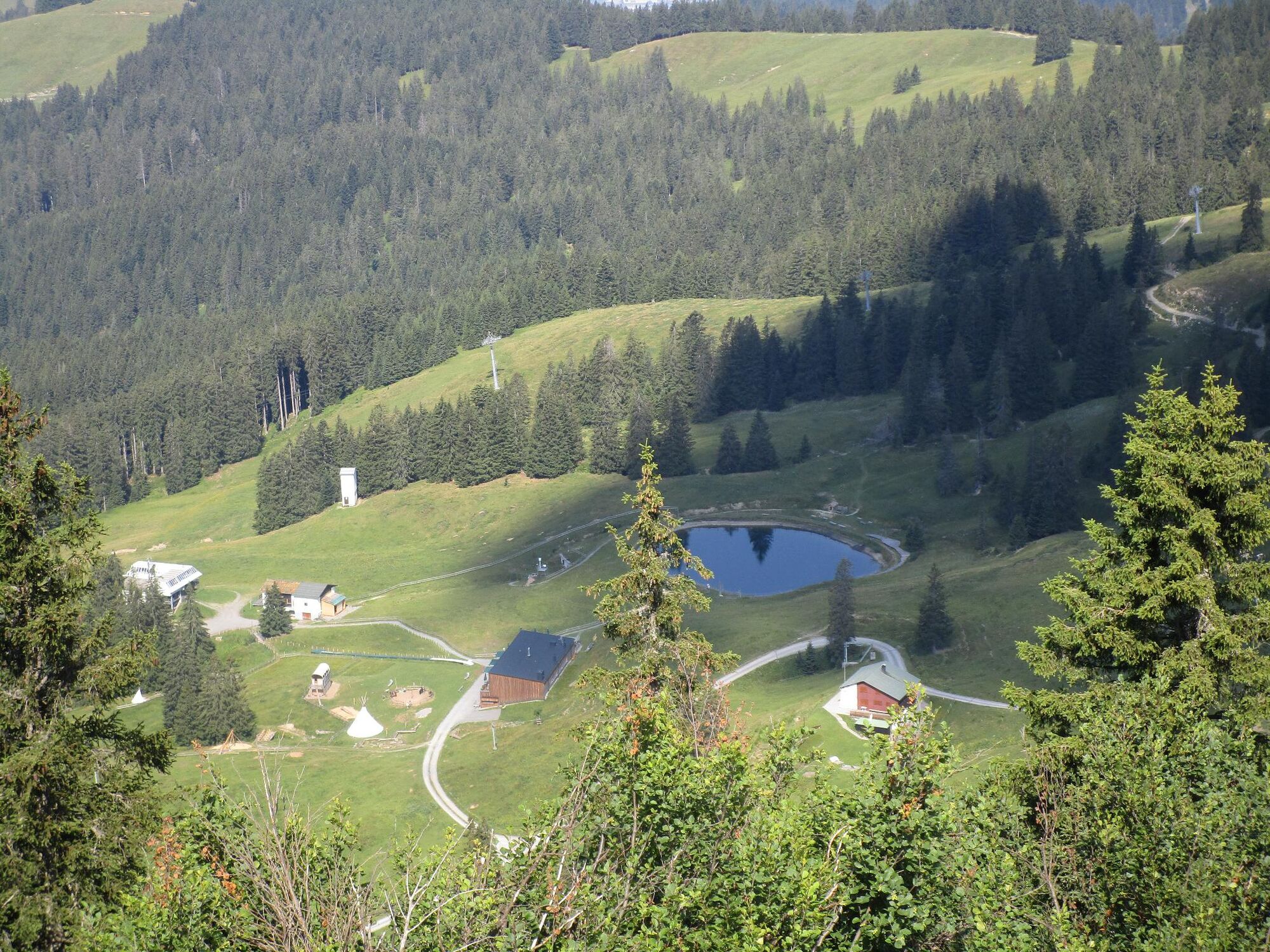
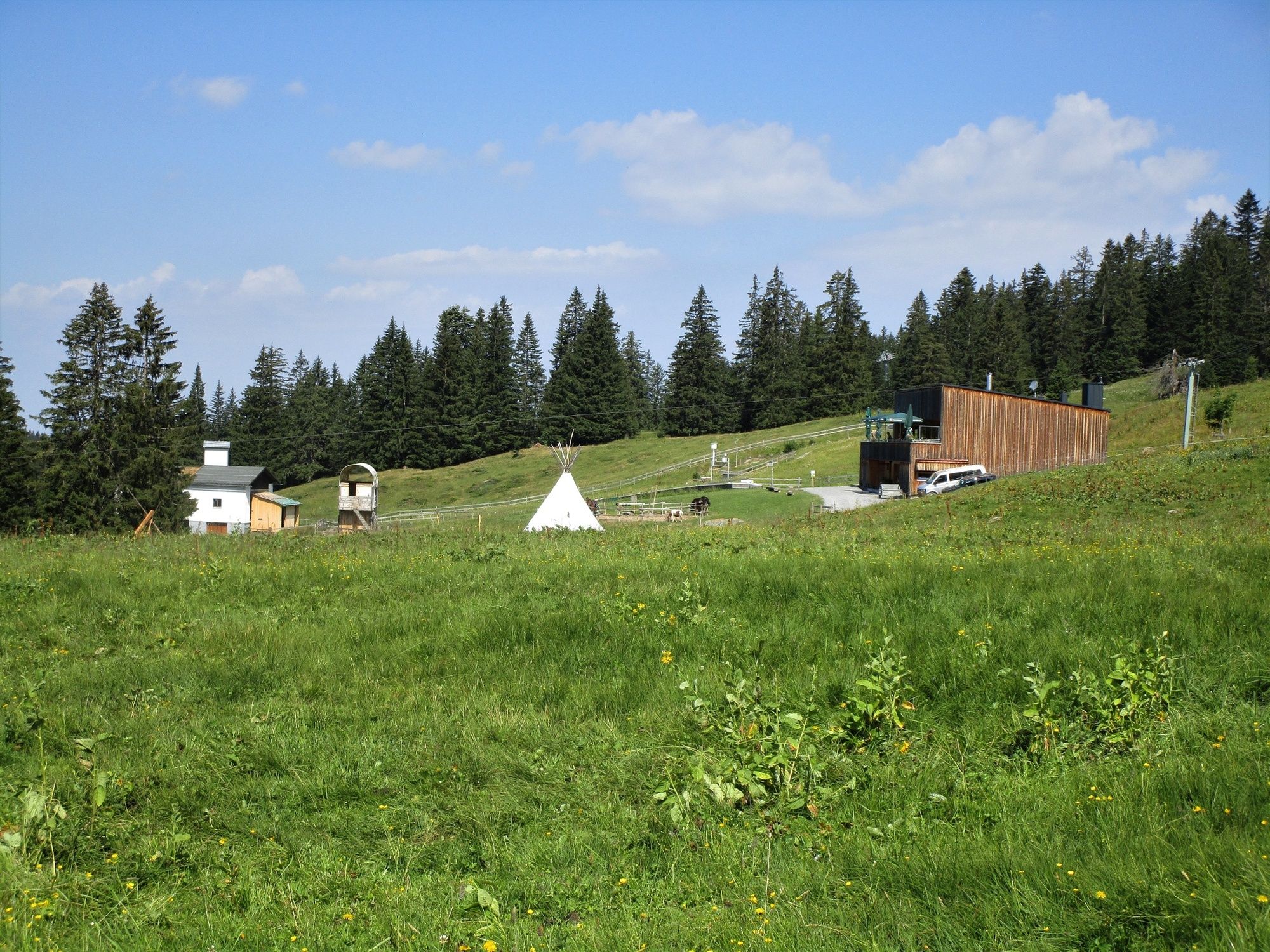
Starting from the chairlift’s valley station at Kühboden, the hike takes in a varied alpine landscape at the head of the Laternsertal valley. Past the hamlet of Gerstaböda, across the Frutz to the shady side of the valley and on to Bad Laterns (Bädle). Then through the beautiful Garnitzatal valley with its lovely alpine buildings and protected marshland, up to the Lower Saluveralpe, which nestles in a gentle and green valley basin. Refreshments are available at the alp to hikers who stop and rest there. The trail then continues to the pass at Fürkili to the Gapfohlalpe. A detour to the Falben (130 m altitude) with its great view is recommended for hikers wanting to climb a peak with a summit cross. The route then leads across the Gapfohl ski area through the shadowy Stürcherwald forest back to the starting point in Kühboden.
- Directions
-
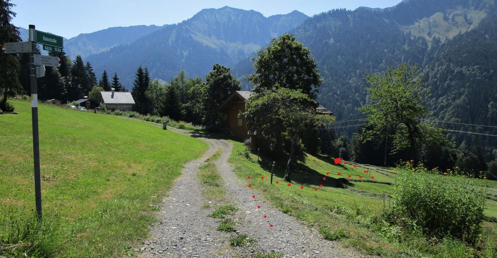
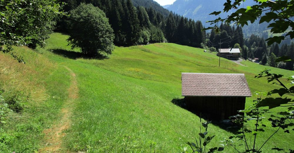
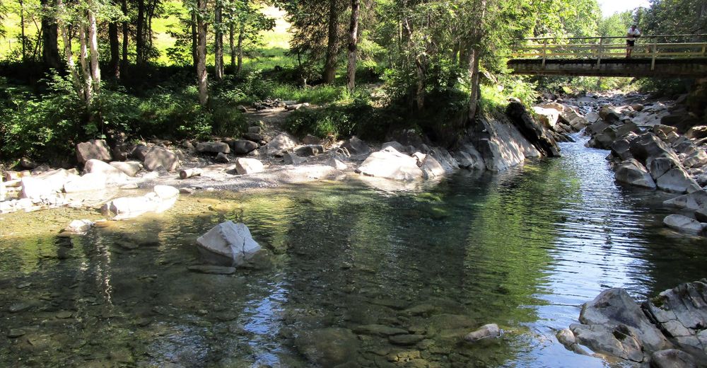
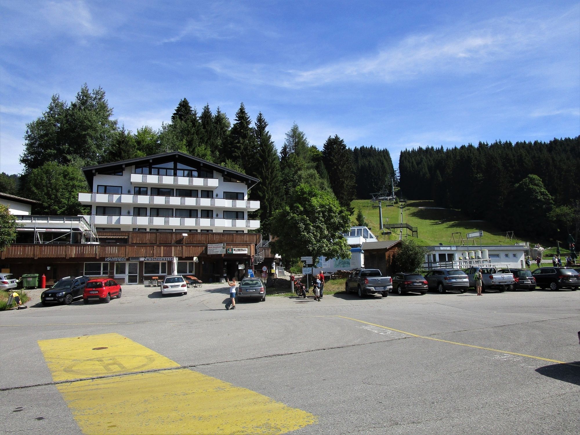
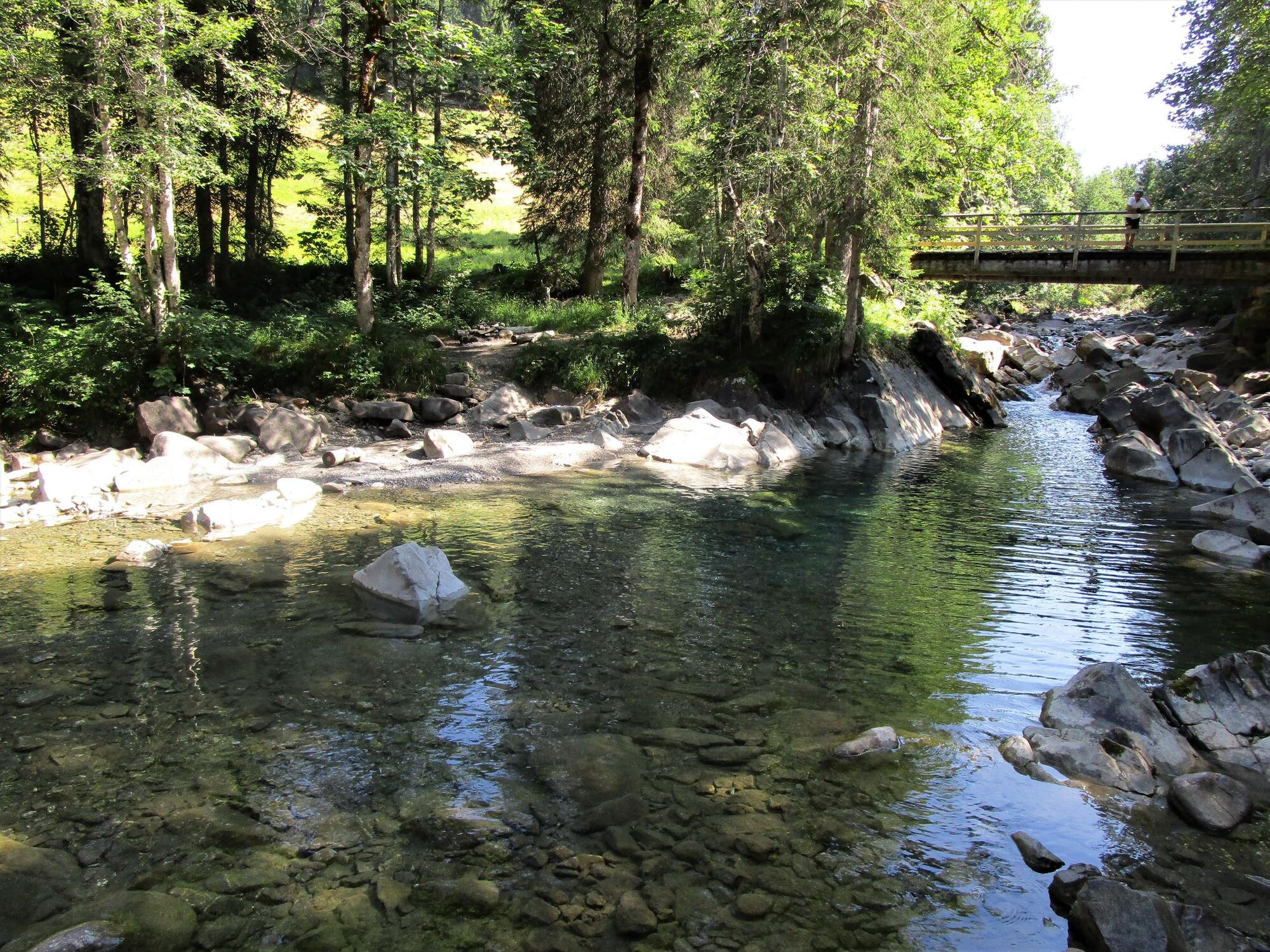
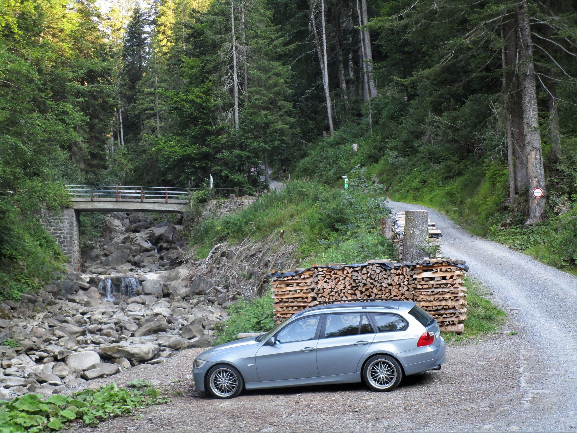
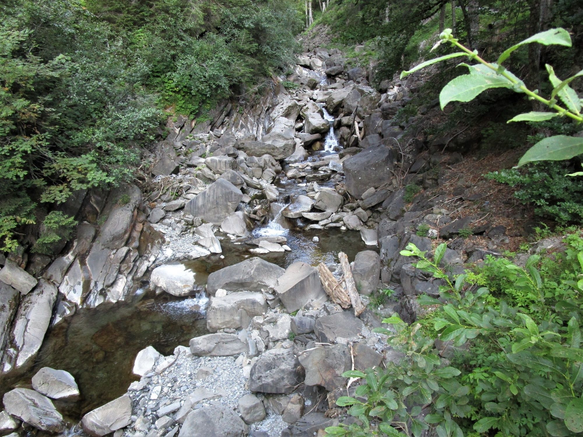
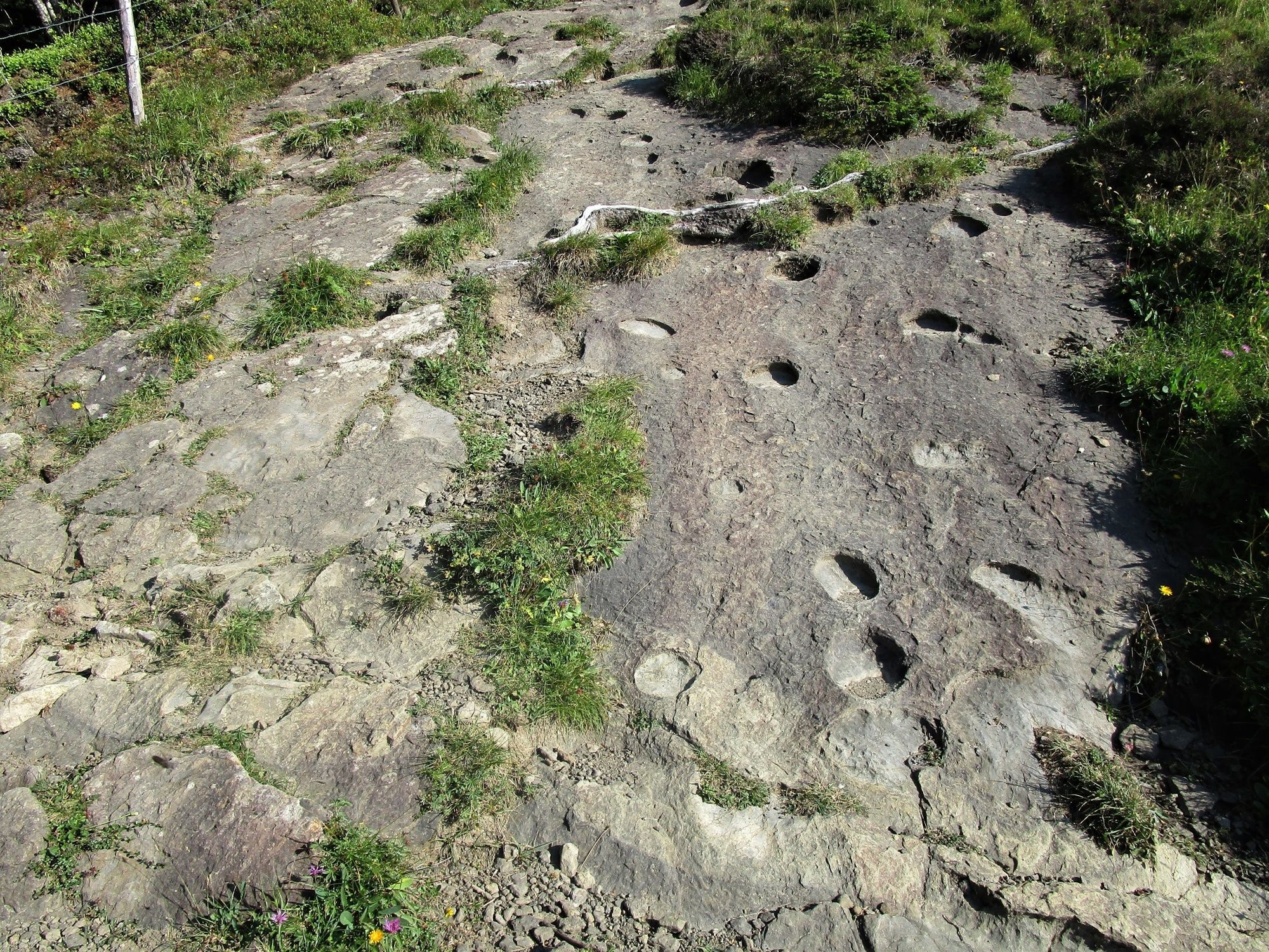
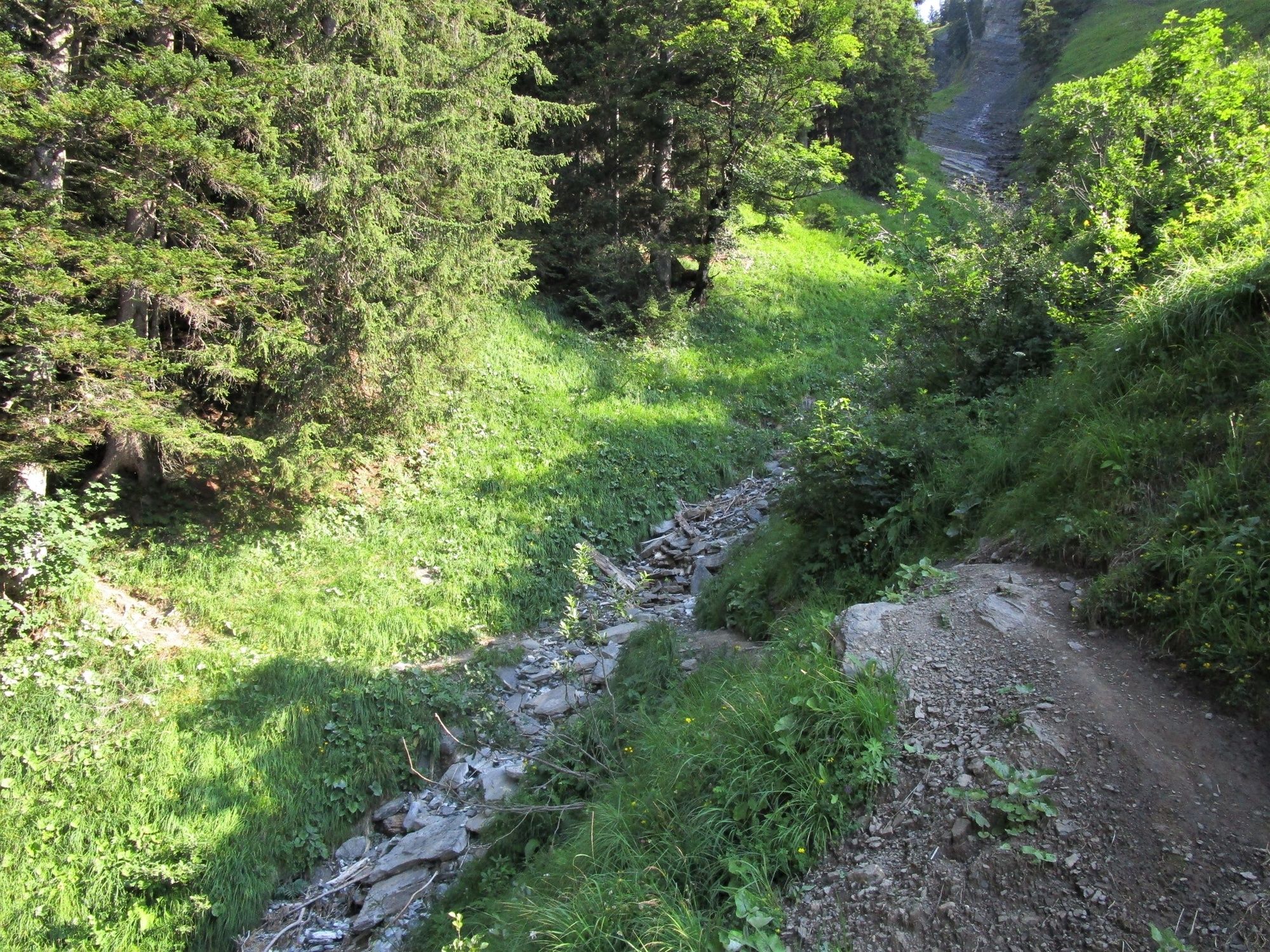
From the end of the car park at the chairlift in Kühboden (1150 m), the Walserweg leads through the hamlet of Rain slightly downhill to the Furkastraße. A short stretch along the road is followed by a right turn at Gerstaböda and, after a few minutes, the trail then reaches the Leuesteg bridge across the Frutz, which is followed after that by the ascent through the forest to the Untere Leuealpe (1130 m). It then follows the Netschelweg (beautiful biker trail), past the Untere Probstalpe, until, after a sweeping left-right loop, it reaches the Bädle (inn Bad Laterns, 1160 m) with its beautiful fish pond. It continues along the road for 200 metres before branching off into the Garnitzatal valley after the bridge. The alpine area presents itself after a short ascent. The trail continues along the alpine road to the Hintere Garnitzaalpe (1270 m), across the footbridge and then up along the gorge to the Untere Saluveralpe (1570 m). It then follows the signpost for ‘Gapfohlalpe’ until it reaches the pass at Fürkili (1660 m). This part of the trail presents the opportunity to make a detour to the Falben (1793 m). The trail then leads back across the Gapfohlalpe past the chairlift’s mountain station (1540 m) and then down through the woods to the starting point.
- Highest point
- 1,660 m
- Endpoint
-
Kühboden (Talstation des Sesselliftes Gapfohl)
- Height profile
-

- Equipment
-
Ankle-high hiking boots with grip soles, poles and protection from the rain and sun.
- Safety instructions
-
Caution is advised at short sections when they’re wet.
- Tips
-
It’s possible from Friday to Sunday to incorporate the chairlift into the hike. Either as a descent or an ascent if the reverse route is taken.
- Directions
-
From the Rheintal motorway, Rankweil exit, follow the signs to Laternsertal and then to the Kühboden valley station in the Gapfohl skiing area.
- Public transportation
-
By train to Rankweil, then by the No. 65 country bus to Kühboden.
- Parking
-
Parking spaces at the valley station.


- Author
-
The tour Alpine hiking: Laterns is used by outdooractive.com provided.


General info
-
St. Gallen - Bodensee
2065
-
Alpenregion Vorarlberg
1771
-
Laterns-Gapfohl
442


