- Brief description
-
This walk is ideal for families with small children, as a pram can be taken along.
- Difficulty
-
easy
- Rating
-
- Starting point
-
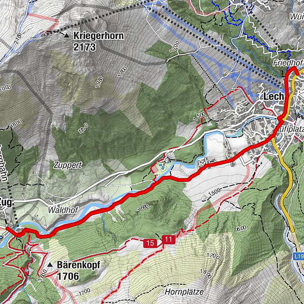
Hiking starting point Rüfiplatz
- Route
-
Bergbahn Lech - Oberlech0.0 kmLech (1,444 m)0.4 kmZug3.2 km
- Best season
-
JanFebMarAprMayJunJulAugSepOctNovDec
- Description
-
A family-friendly hiking trail along the Lech river and the picturesque landscape, with numerous culinary possibilities.
- Directions
-
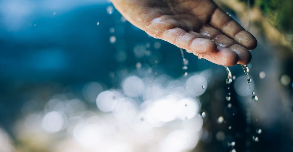
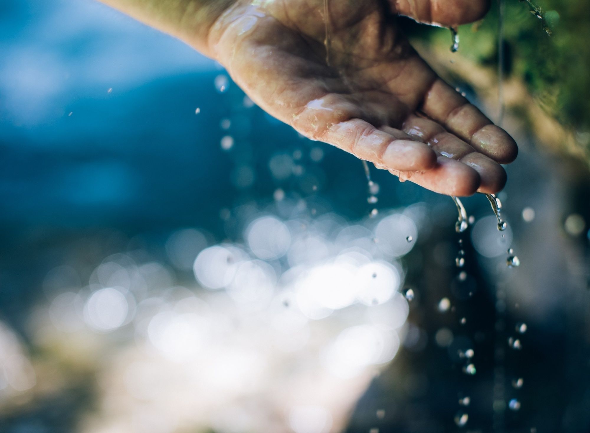
From the hike starting point at the Rüfiplatz, follow the Lech Promenade on the left and continue upstream. Cross the road when you reach the old roofed wooden bridge and continue past the house ”Chalet Säge”. When you reach Hûs No. 8, turn right onto the back road. Follow the road past the Chapel, continue straight ahead uphill, then across level ground until the path ends and leads onto a gravel forest path. Follow the path alongside the sparkling Lech River. When you reach the Kneipp facilities, a wooden bridge leads across the Lech River to the forest swimming pool. You can take a break here and relax in the warm water, which is at a constant temperature of 25°. The forest swimming pool offers lots of fun especially for children, with its water slide, rock island, children’s pool, playground, etc. Once you have refreshed yourselves, continue alongside the river past a barbecue site built with great attention to detail. Just before you reach the Zug district, you will find relaxation recliners directly on the riverside. Follow the path until you get to the lower station of the Zug cable car. From here on, the path is paved again. Cross the bridge and walk across the car park to the fish pond. Here you can do some fishing yourself and enjoy your freshly prepared fish right there and then. The journey back takes you along the Lech riverside path again, or you can walk into Zug town centre and take the hiking bus back to the starting point.
- Highest point
- 1,494 m
- Endpoint
-
Zug
- Height profile
-

- Equipment
-
Good footwear (ankle high, profile sole), rain protection, drinks, snacks, Lech Card and bus timetable.
- Safety instructions
-
The trail can also be used in rain or wet conditions.
EMERGENCY CALL:
140 Alpine Emergencies Austria-wide
144 Alpine Emergencies Vorarlberg
112 Euro emergency call (works with any mobile phone/network)
www.vorarlberg.travel/sicherheitstipps
- Tips
-
Special features: The extensive gravel banks allow you to ”immortalise” yourself here with a little stone man.
Sights: Omesberg Chapel
Refreshment stops: Restaurants in Lech am Arlberg or Zug and the fish pond.
- Additional information
- Directions
-
From Germany: Take the A96 motorway to Bregenz from there on the A14 motorway to Bludenz, continue on the S16 to the Lech Zürs am Arlberg exit. Follow the B197 up to Alpe Rauz, turn left here onto the B198 through Flexengalerie and over the Flexenpass to Lech Zürs am Arlberg.
From Switzerland: Via the A13 motorway and the Feldkirch, Hohenems or Lustenau border crossing on the A14 motorway to Bludenz. Continue on the S16 until exit Lech Zürs am Arlberg. Follow the B197 up to Alpe Rauz, turn left here onto the B198 through Flexengalerie and over the Flexenpass to Lech Zürs am Arlberg.
From Austria: Via the Inntalautobahn A12 and then via the S16 to the exit St. Anton am Arlberg (Arlberg Pass). Follow the B197 first through St. Anton, then through St. Christoph and over the Arlbergpass to Alpe Rauz. Turn right here onto the B198, drive through Flexengalerie and over the Flexenpass to Lech Zürs am Arlberg.
- Public transportation
- Parking
-
You can either park your vehicle directly at your host or park it in the underground garage Anger. The underground car park is located directly in the centre of town opposite Raiffeisenbank Lech. Opening hours 07:00 - 20:00 o' clock.
-

-
AuthorThe tour Lech riverbank path is used by outdooractive.com provided.