


- Brief description
-
Discover the natural landscape from Thüringerberg to Schnifis.
- Difficulty
-
medium
- Rating
-
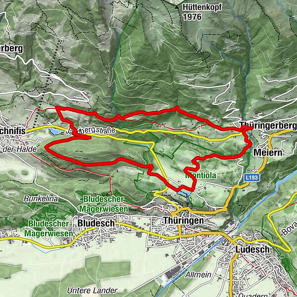
- Starting point
-
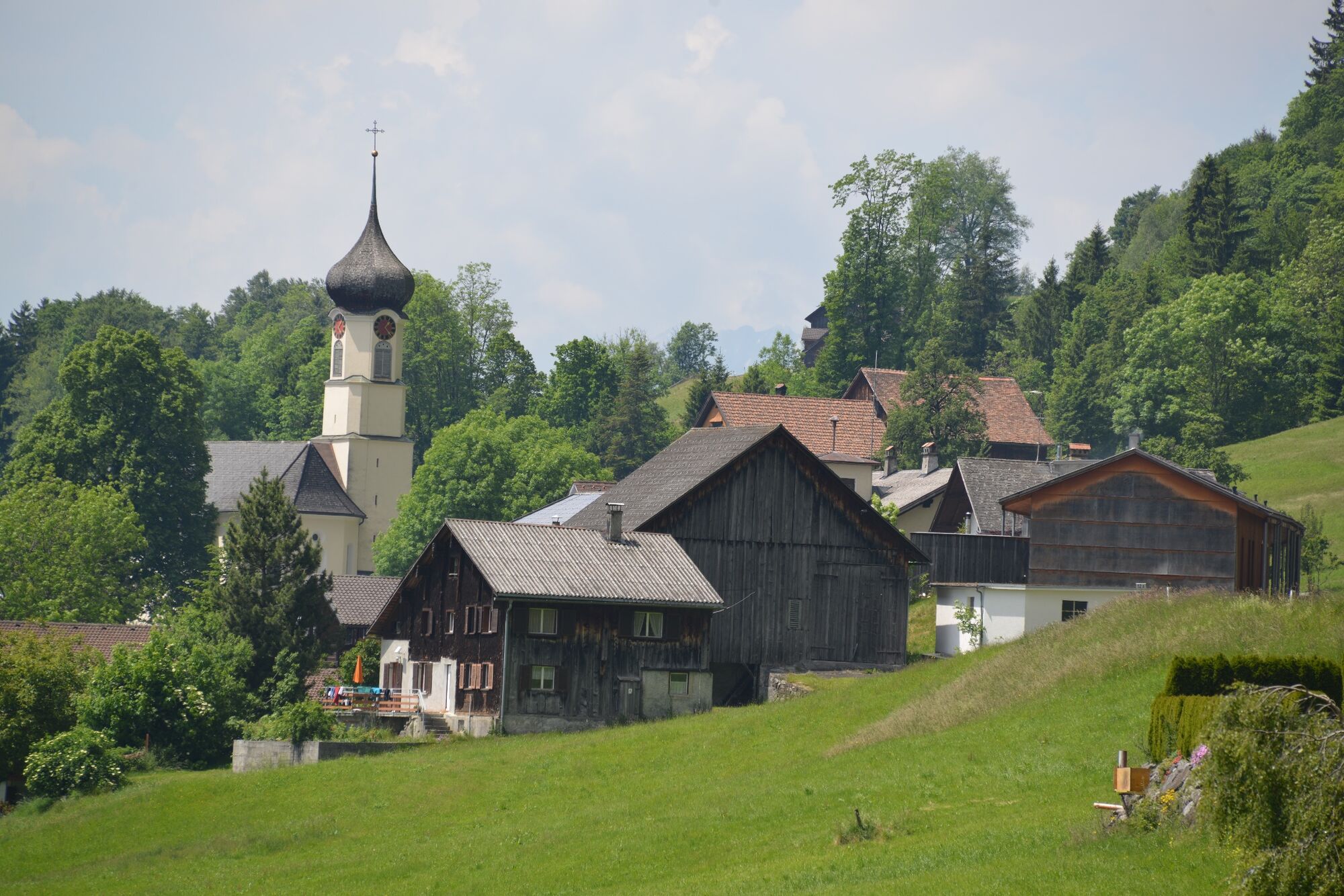
Village centre, Thüringerberg
- Route
-
Pfarrkirche hl. AndreasThüringerbergAußerberg (882 m)0.3 kmGschading Gütle (895 m)2.4 kmMeiern10.7 kmThüringerberg11.1 kmPfarrkirche hl. Andreas11.2 km
- Best season
-
JanFebMarAprMayJunJulAugSepOctNovDec
- Description
-
The hike leads from the center of Thüringerberg over the Gampelin Alpe to the eastern Plattenhof to Schnifis. Here you turn left and follow the hiking trail towards the Montiola ponds. Cross the country road and continue to follow the path to the Montiola ponds. The ponds are well suited for a short rest before the trail branches off to the left and leads back to Thüringerberg to the starting point.
- Directions
-
Thüringerberg village centre/church - Gampelin Alpe - Eastern Plattenhof - crossing the main road in Schnifis - Montiola Weiher - Thüringerberg village centre/church
- Highest point
- 983 m
- Endpoint
-
Village centre, Thüringerberg
- Height profile
-

- Equipment
-
Ankle-high mountain boots with treaded soles, sun and rain protection, snack, filled water bottle and first aid kit. Mobile phone in case of emergency. Walking sticks are recommended.
- Safety instructions
- Directions
- Public transportation
- Parking
-
Public parking lot in Thüringerberg

- Author
-
The tour Gampelin Alpe - Schnifis | Thüringerberg is used by outdooractive.com provided.


General info
-
St. Gallen - Bodensee
2067
-
Alpenregion Vorarlberg
1773
-
Bludesch
392


