

© Bregenzerwald Tourismus - Conny Kriegner

© Bregenzerwald Tourismus - Michael Meusburger

© Alpe Wildgunten - Familie Natter

© Bregenzerwald Tourismus - Nadine Lerho

© Bregenzerwald Tourismus GmbH - Michael Meusburger

- Brief description
-
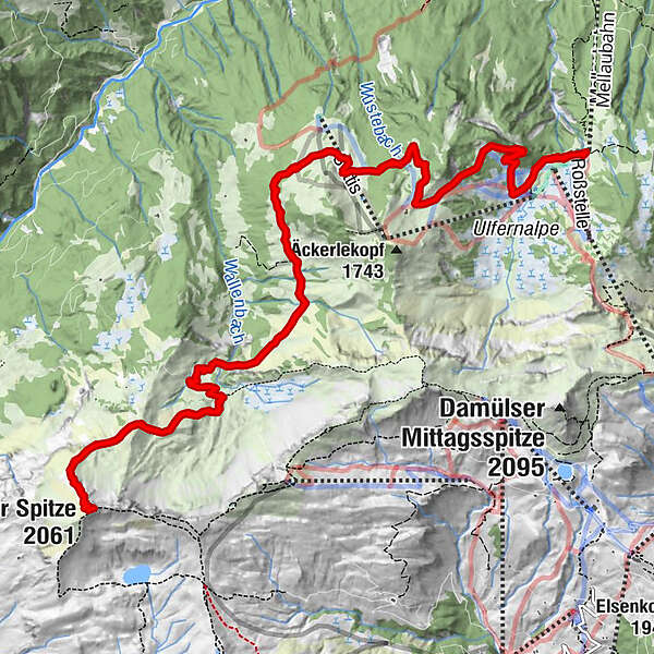
Auffahrt auf die Roßstelle mit der Mellaubahn – Wildguntenalpe – Vordersuttisalpe – Hintersuttisalpe – Alpe Freudenberg – Galtsuttis - Sünserspitze - Galtsuttis - Alpe Freudenberg - Hintersuttisalpe - Vordersuttisalpe - Wildguntenalpe - Mellaubahn
- Difficulty
-
difficult
- Rating
-
- Route
-
Bergrestaurant Simma0.0 kmRoßstelle0.1 kmAlphof Rossstelle0.1 kmKapelle Freudenbergalpe6.5 kmSünser Spitze (2,061 m)9.7 kmKapelle Freudenbergalpe12.7 kmAlphof Rossstelle19.3 kmRoßstelle19.3 kmBergrestaurant Simma19.3 km
- Best season
-
JanFebMarAprMayJunJulAugSepOctNovDec
- Highest point
- 2,044 m
- Endpoint
-
Bergstation der Mellaubahn
- Height profile
-


- Author
-
The tour Mellau | Sünserspitze (Abstieg nach Mellau) is used by outdooractive.com provided.
GPS Downloads


General info
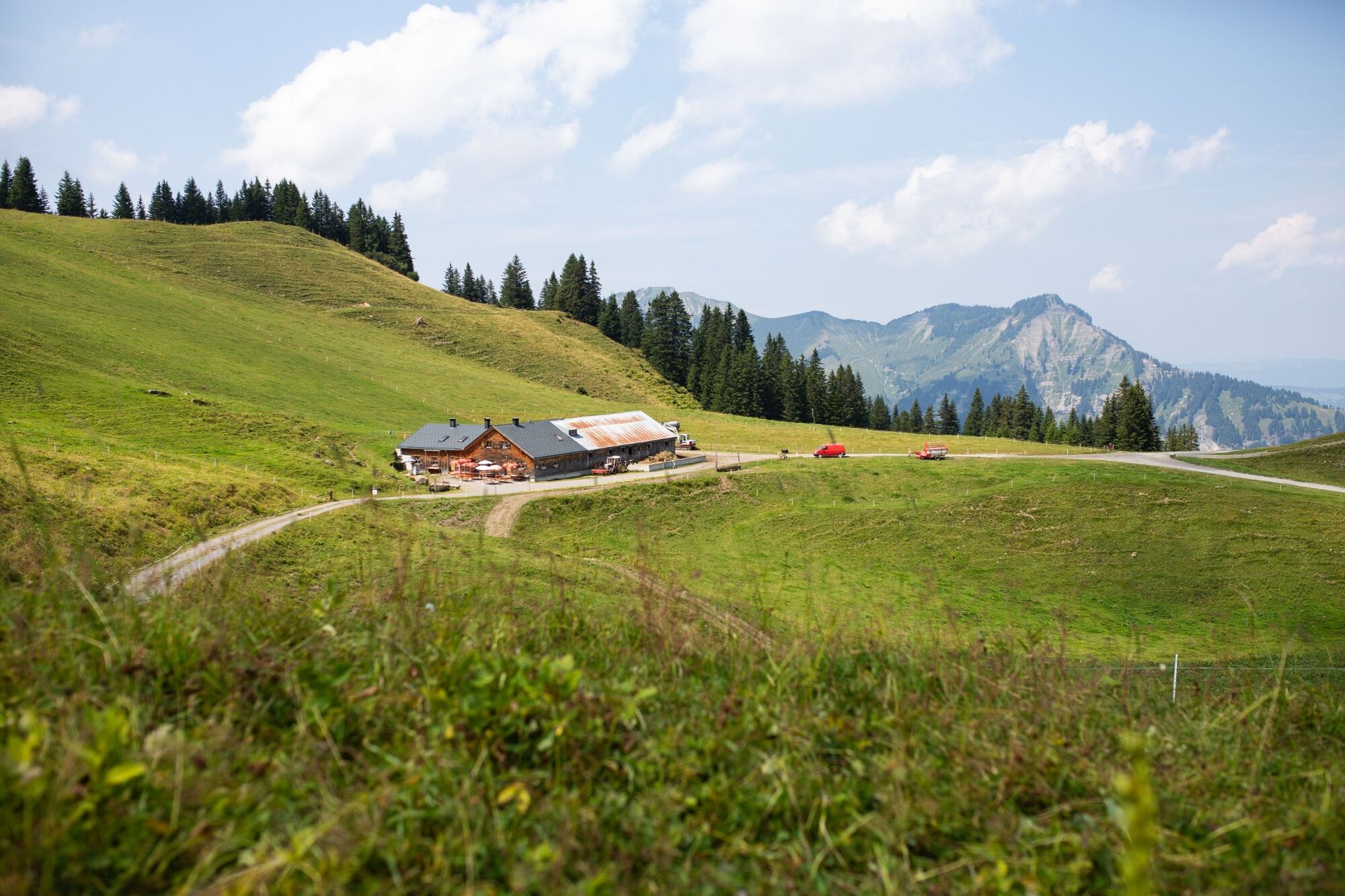
Refreshment stop
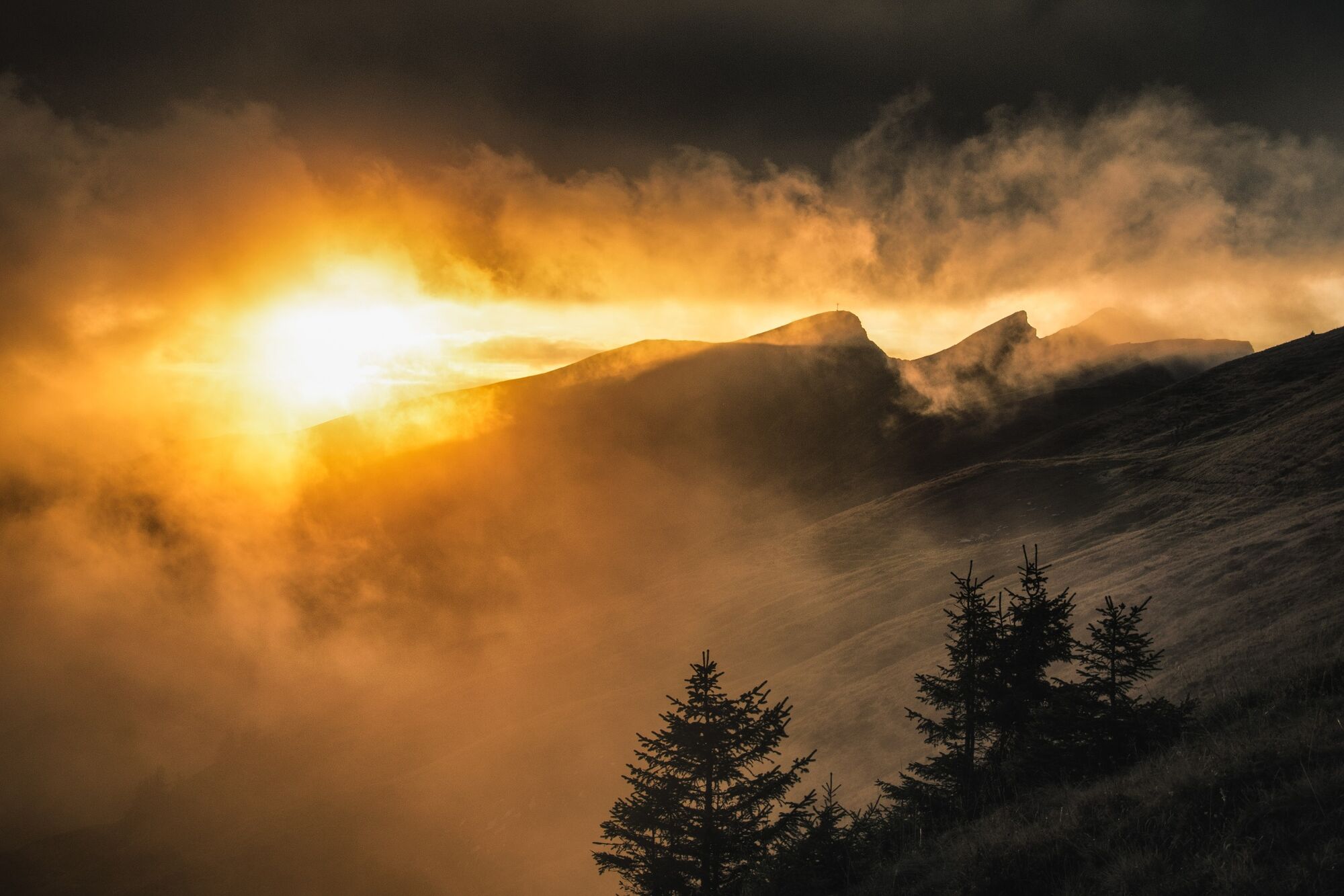
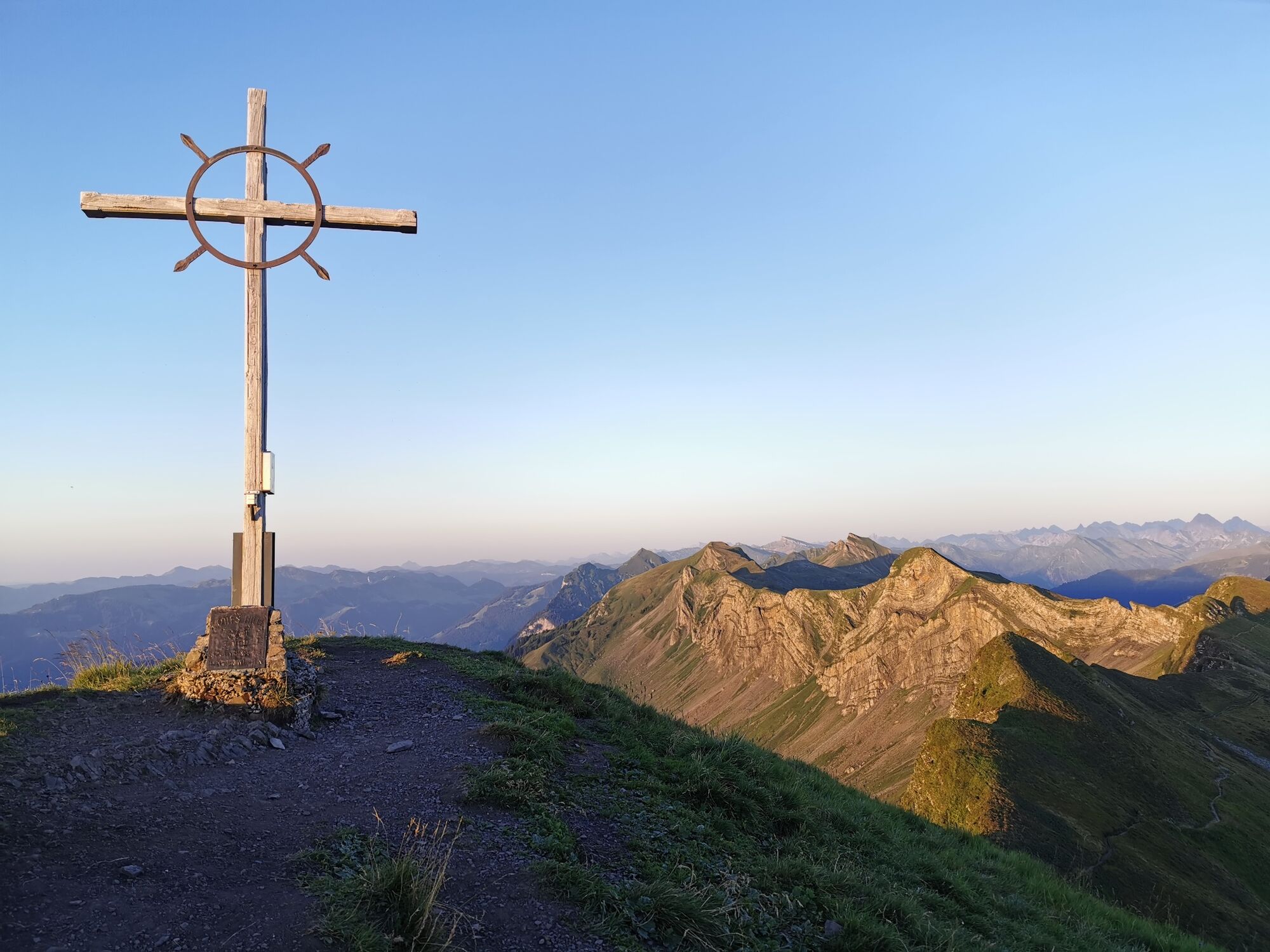
A lot of view
Other tours in the regions
-
St. Gallen - Bodensee
2066
-
Biosphärenpark Großes Walsertal
2010
-
Mellau
638


