© Bodensee-Vorarlberg Tourismus GmbH - Erich Zucchali / www.guideservice.at
© www.guideservice.at - Erich Zucalli

© Erich Zucalli / www.guideservice.at - Erich Zucalli

© Erich Zucalli / www.guideservice.at - Erich Zucalli

© Erich Zucalli / www.guideservice.at - Erich Zucalli

© Erich Zucalli / www.guideservice.at - Erich Zucalli

© Erich Zucalli / www.guideservice.at - Erich Zucalli

© Erich Zucalli / www.guideservice.at - Erich Zucalli

© Bodensee-Vorarlberg Tourismus GmbH - Erich Zucalli / www.guideservice.at

© Erich Zucalli / www.guideservice.at - Erich Zucalli


- Brief description
-
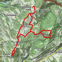
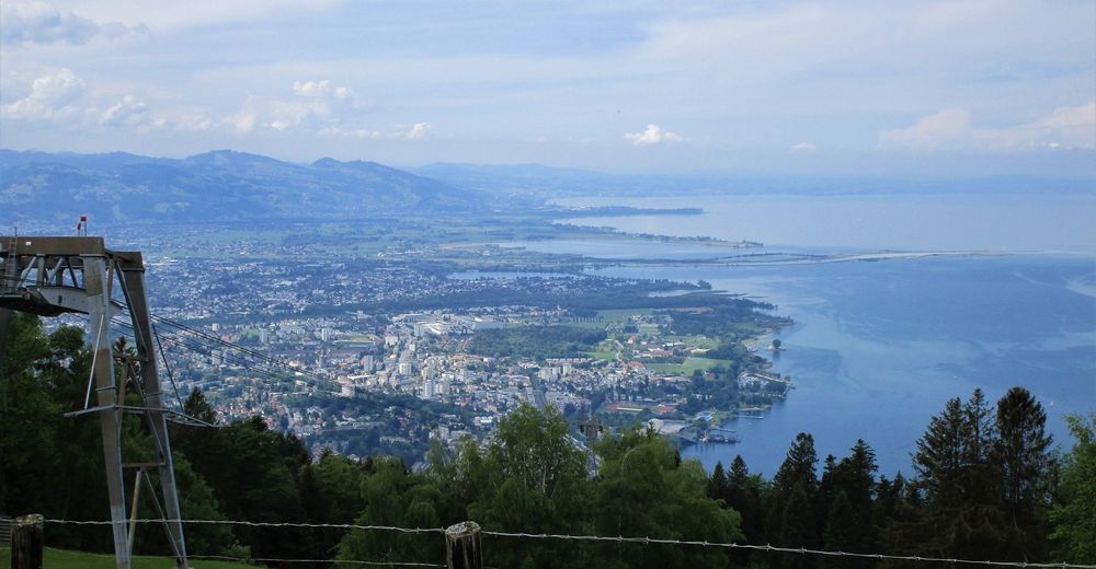
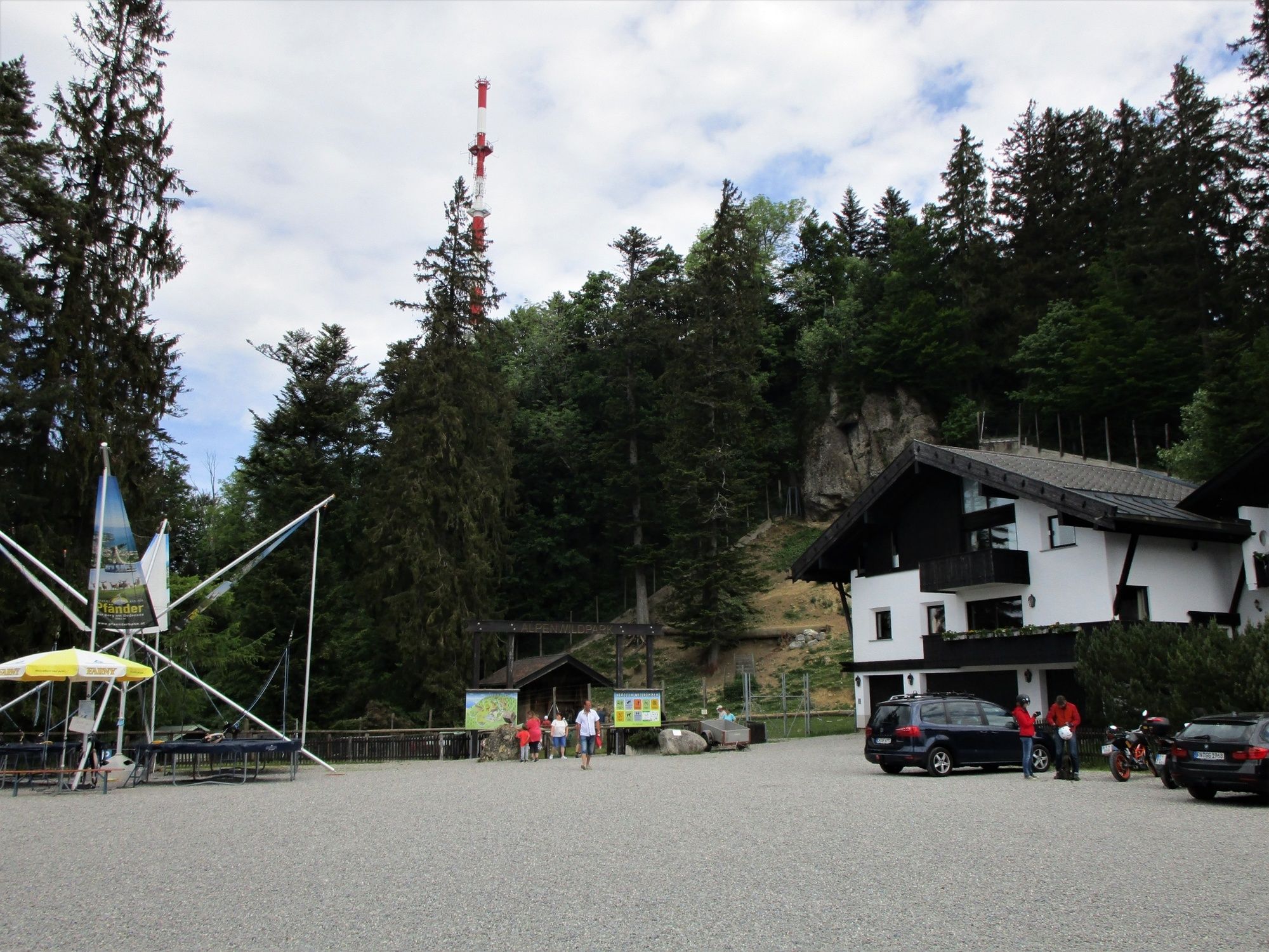
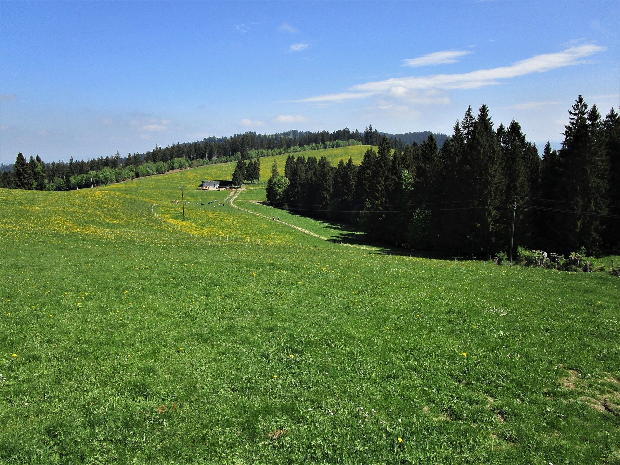
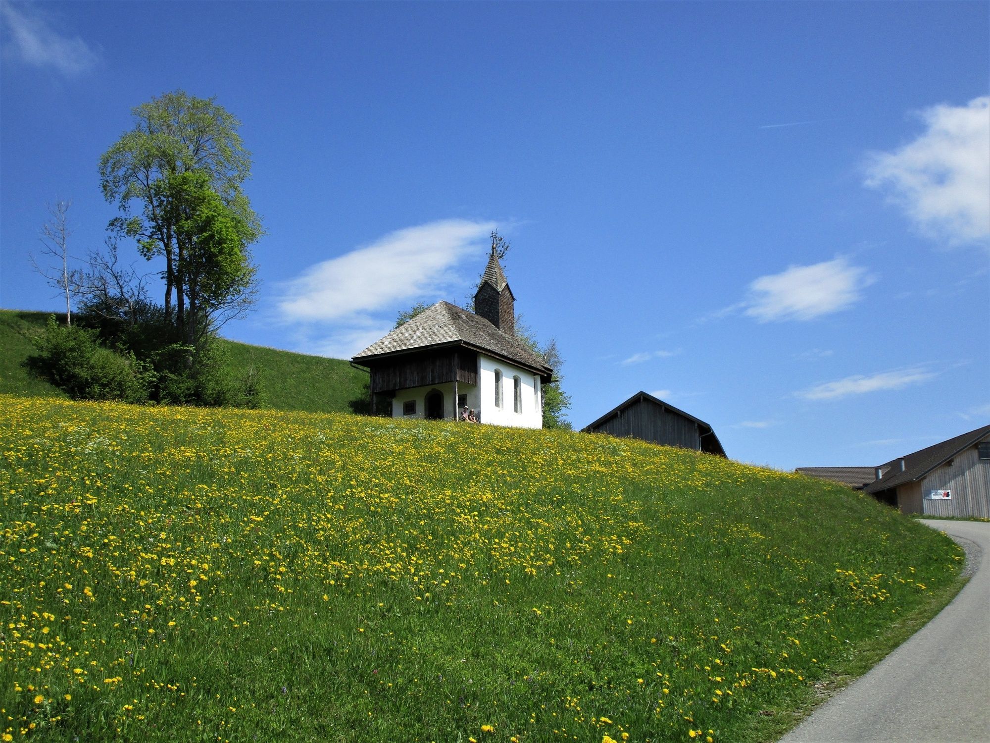
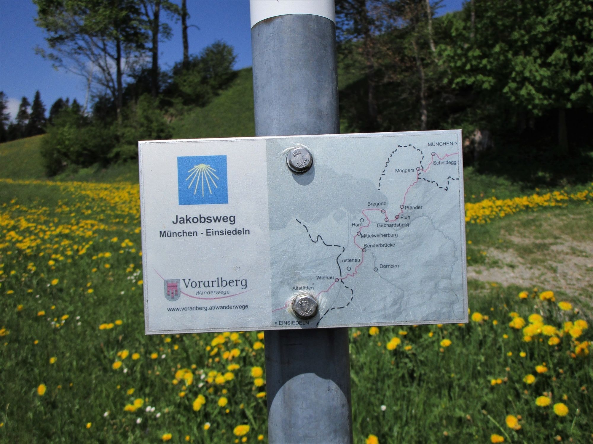
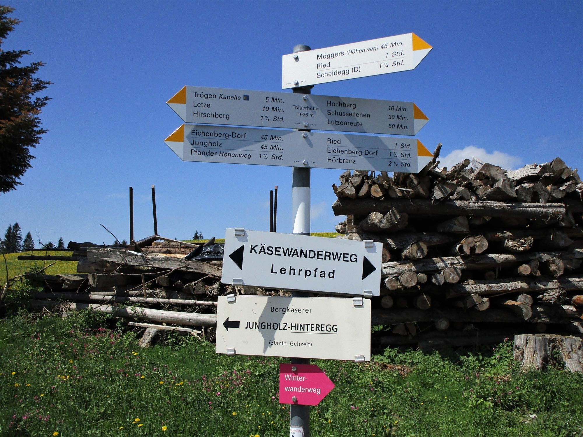
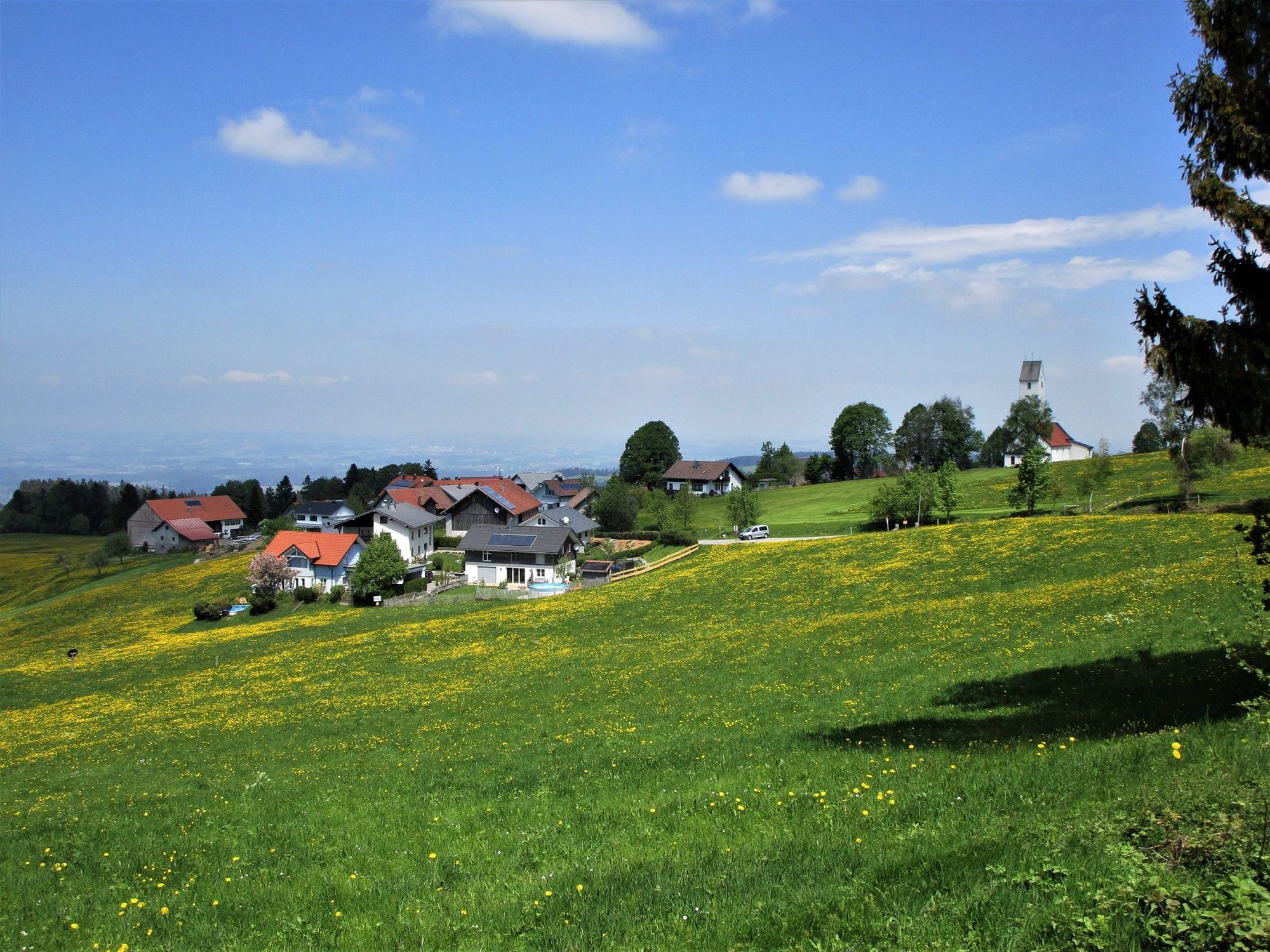
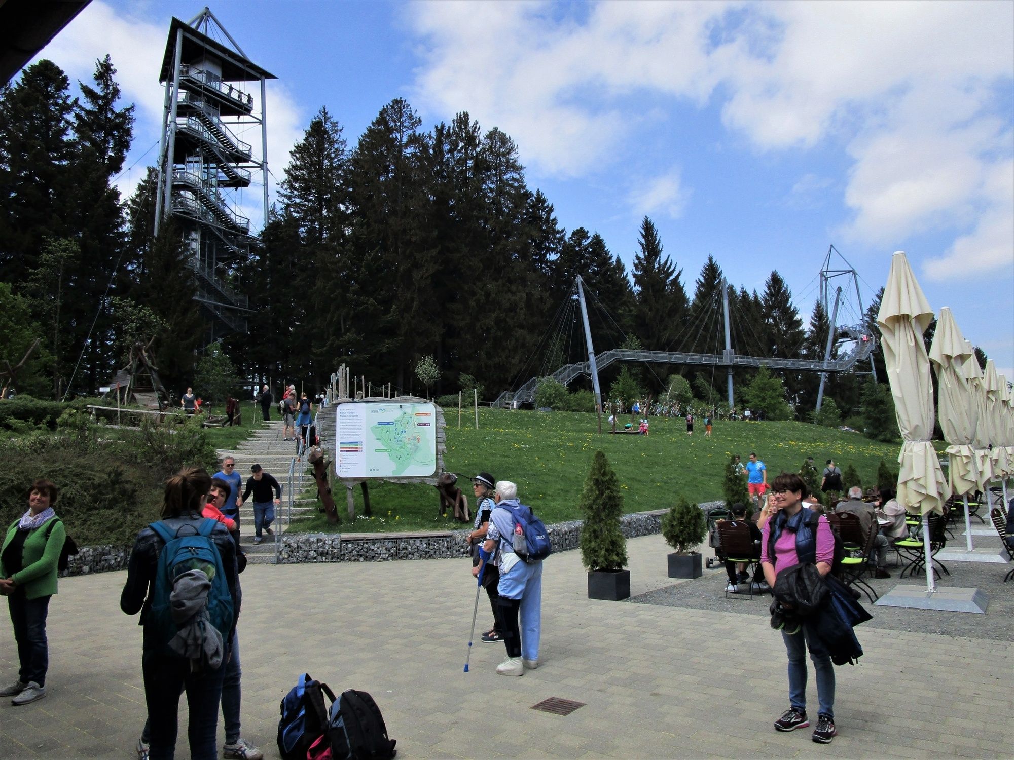
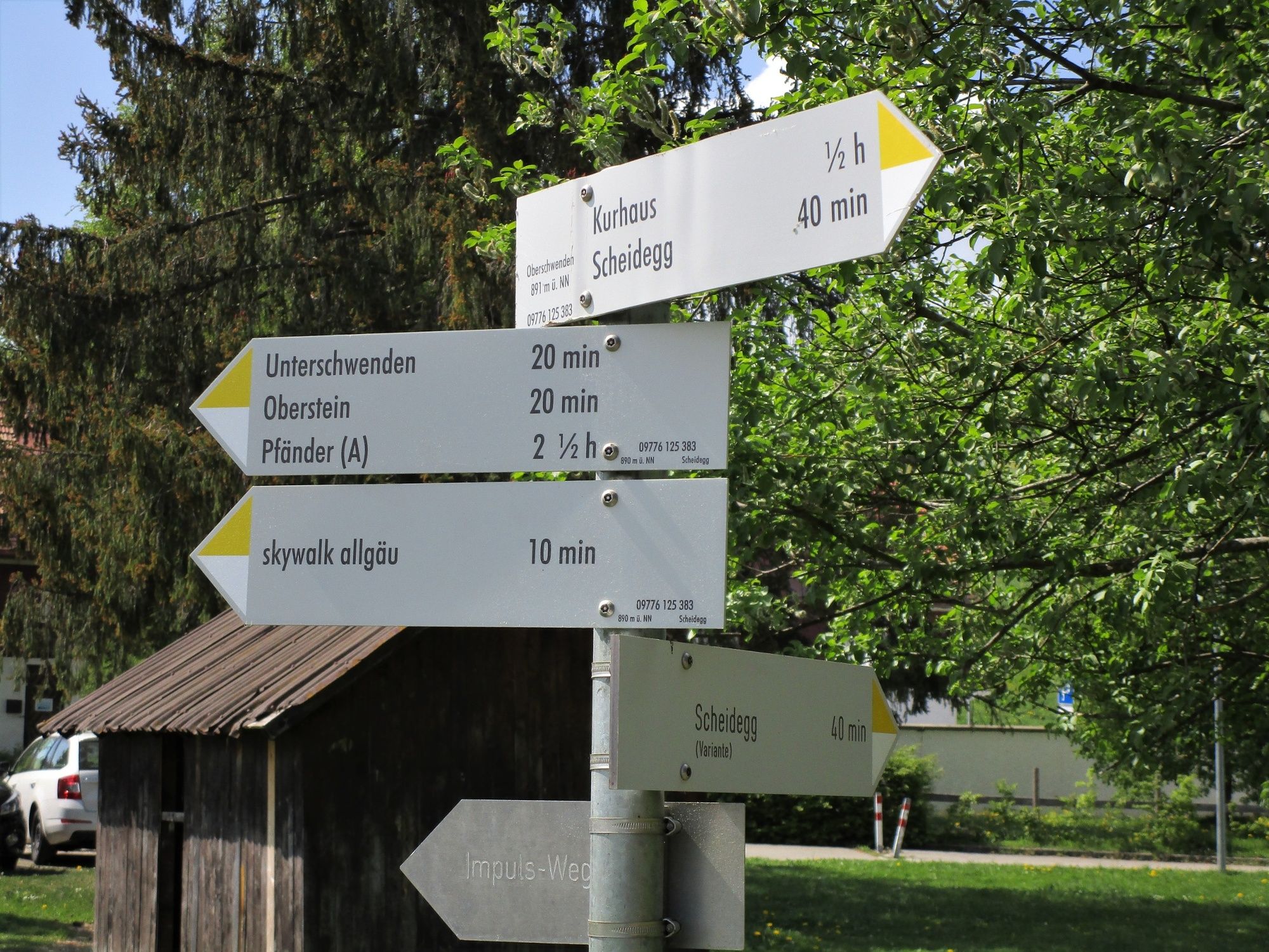
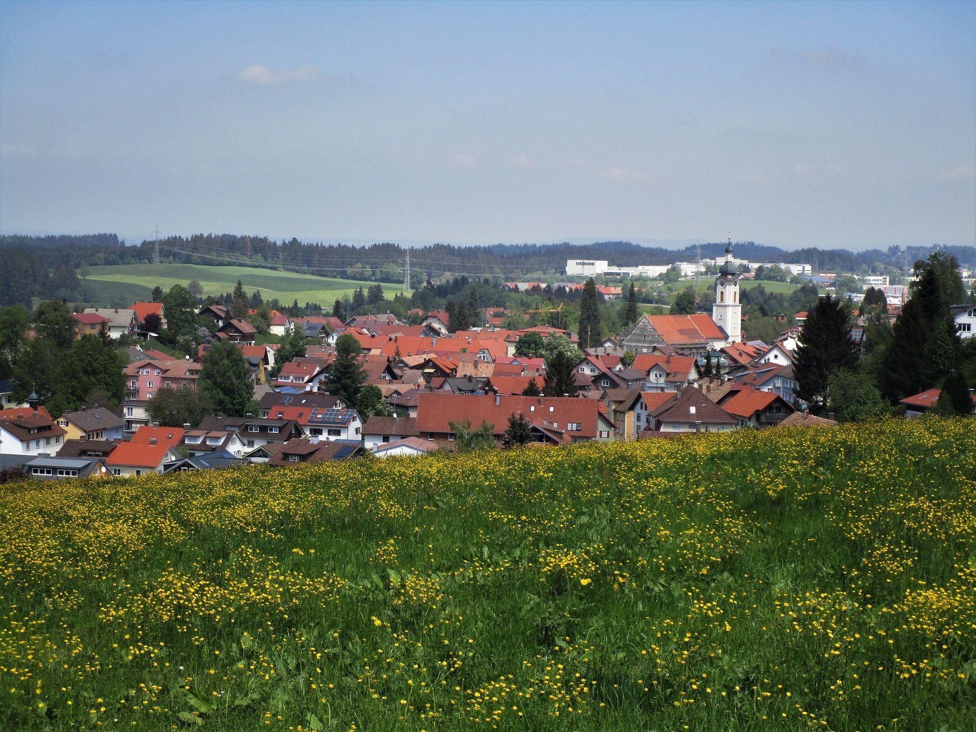
Aussichtsreiche Höhenwanderung von der Bergstation der Pfänderbahn über den sanften Pfänderrücken nach Scheidegg im Allgäu.
- Difficulty
-
medium
- Rating
-
- Route
-
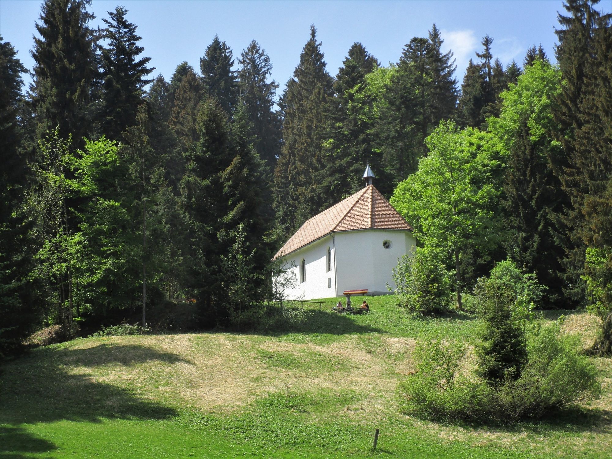
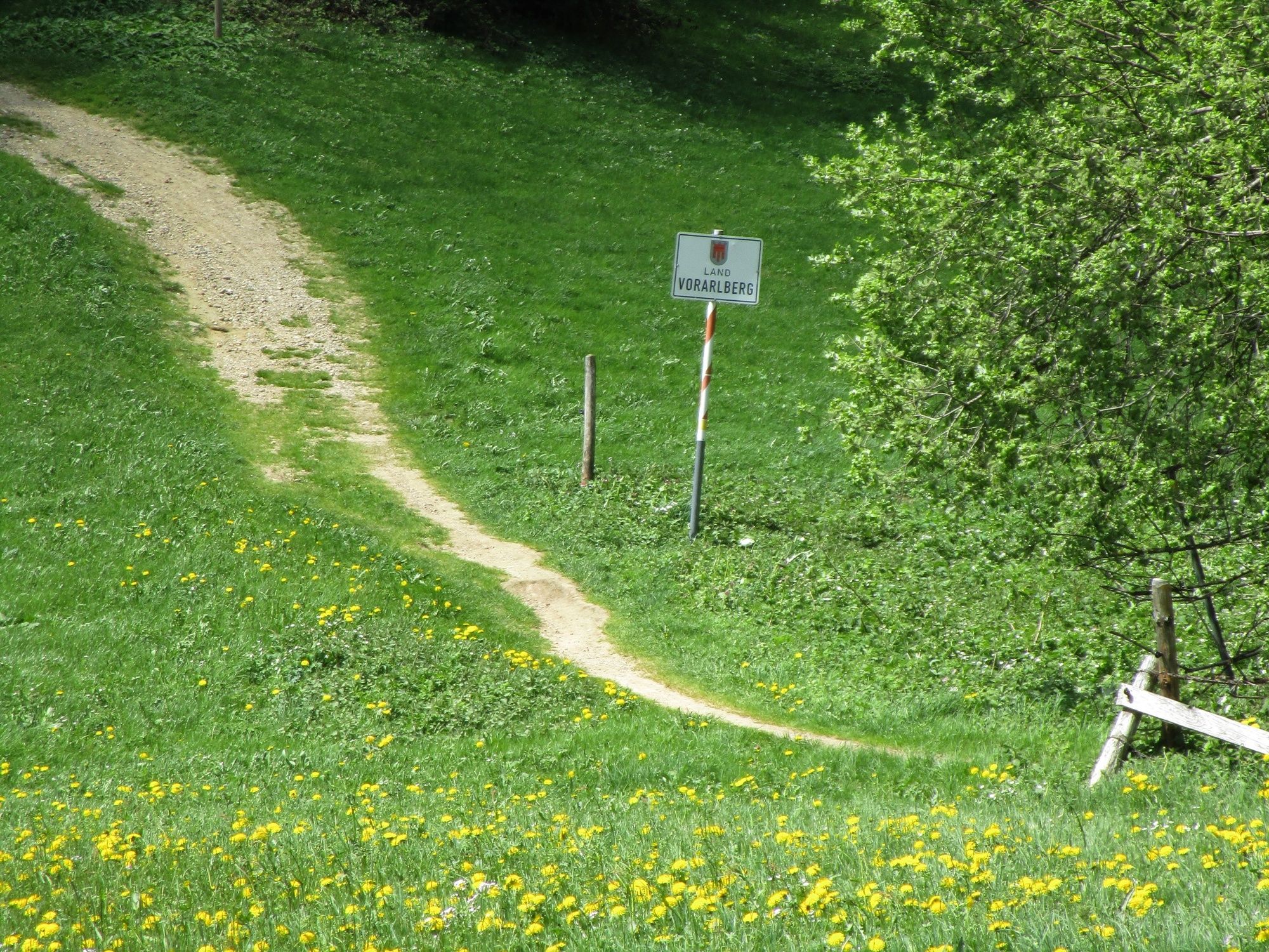
Bregenz (427 m)Pfänder (1,064 m)0.2 kmTheresienkapelle0.2 kmMoos1.1 kmKapelle Trögen4.4 kmMöggers7.5 kmOberschwenden8.6 kmEbenschwand9.6 kmScheidegg11.7 km
- Best season
-
JanFebMarAprMayJunJulAugSepOctNovDec
- Highest point
- 1,057 m
- Endpoint
-
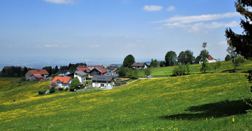
Scheidegg im Allgäu
- Height profile
-


- Author
-
The tour Höhenweg vom Pfänder nach Scheidegg is used by outdooractive.com provided.
GPS Downloads


General info
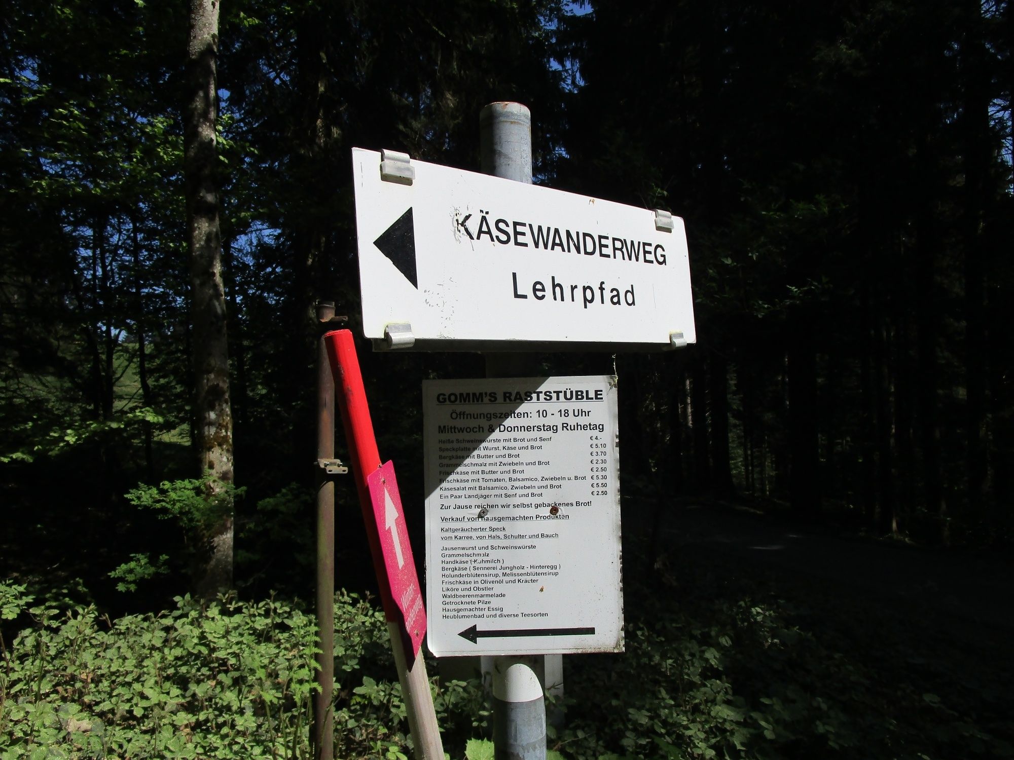
Refreshment stop
A lot of view
Other tours in the regions
-
St. Gallen - Bodensee
2066
-
Bodensee - Vorarlberg
1316
-
Möggers
342