
© Bodensee-Vorarlberg Tourismus GmbH - Dornbirn Tourismus & Stadtmarketing GmbH
© Bodensee-Vorarlberg Tourismus GmbH - Dornbirn Tourismus & Stadtmarketing GmbH

- Brief description
-
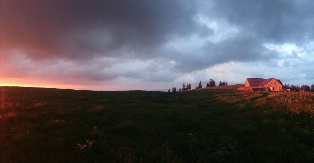
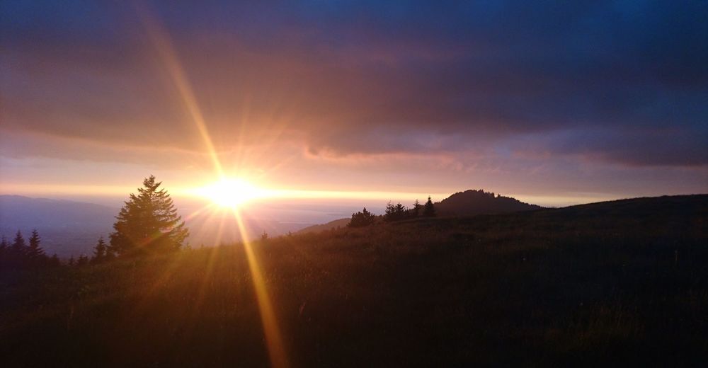
Bödele - Spechtweg - Hochälpele - Hämmerle´s Alpe - Lustenauer Hütte - Bregenzer Hütte - Alpe Weißenfluh
- Difficulty
-
medium
- Rating
-
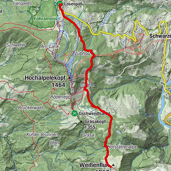
- Route
-
Bödele0.3 kmÄlpele3.3 kmLustenauer Hütte4.1 kmBregenzer Hütte5.3 kmAlpe Weißenfluh (1,368 m)6.4 kmWeißenfluh (1,367 m)6.5 km
- Best season
-
JanFebMarAprMayJunJulAugSepOctNovDec
- Highest point
- 1,364 m
- Endpoint
-
Alpe Weißenfluh
- Height profile
-


- Author
-
The tour Alpwandern: Bödele - Alpe Weißenfluh is used by outdooractive.com provided.
GPS Downloads


General info
Refreshment stop
A lot of view
Other tours in the regions
-
St. Gallen - Bodensee
2067
-
Bodensee - Vorarlberg
1317
-
Schwarzenberg
610


