


- Brief description
-
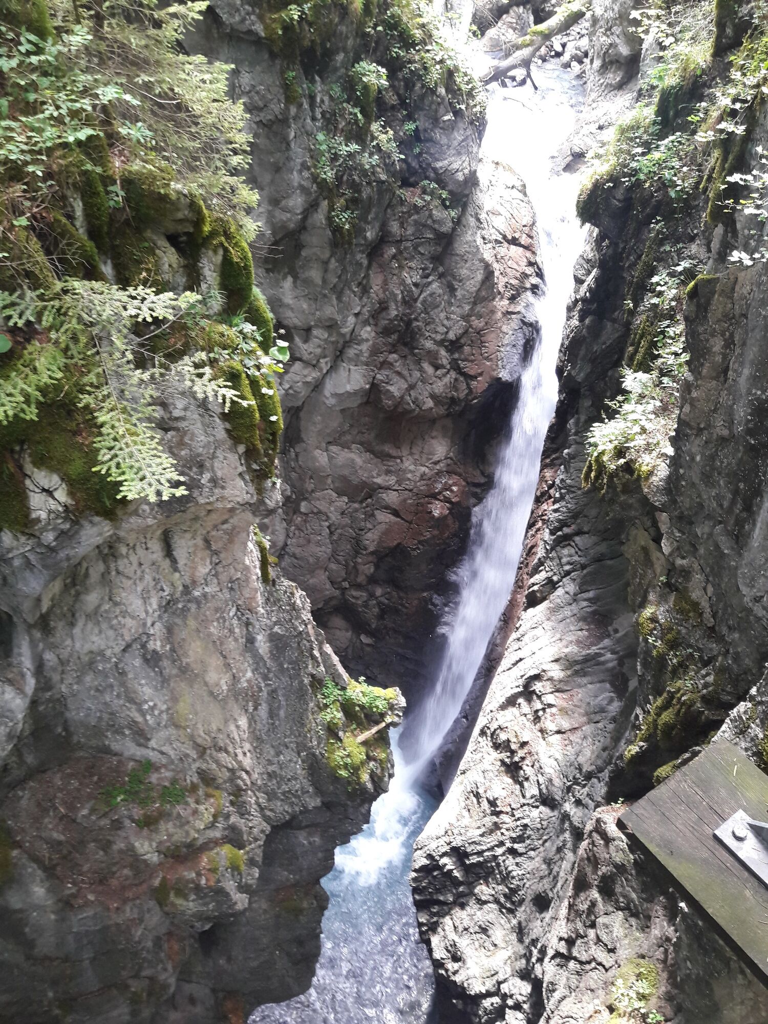
Leisurely hike to the waterfall "Kesselfall", which is located in an impressive rock gorge in Brand.
- Difficulty
-
easy
- Rating
-
- Starting point
-
Car park Innertal, Brand
- Route
-
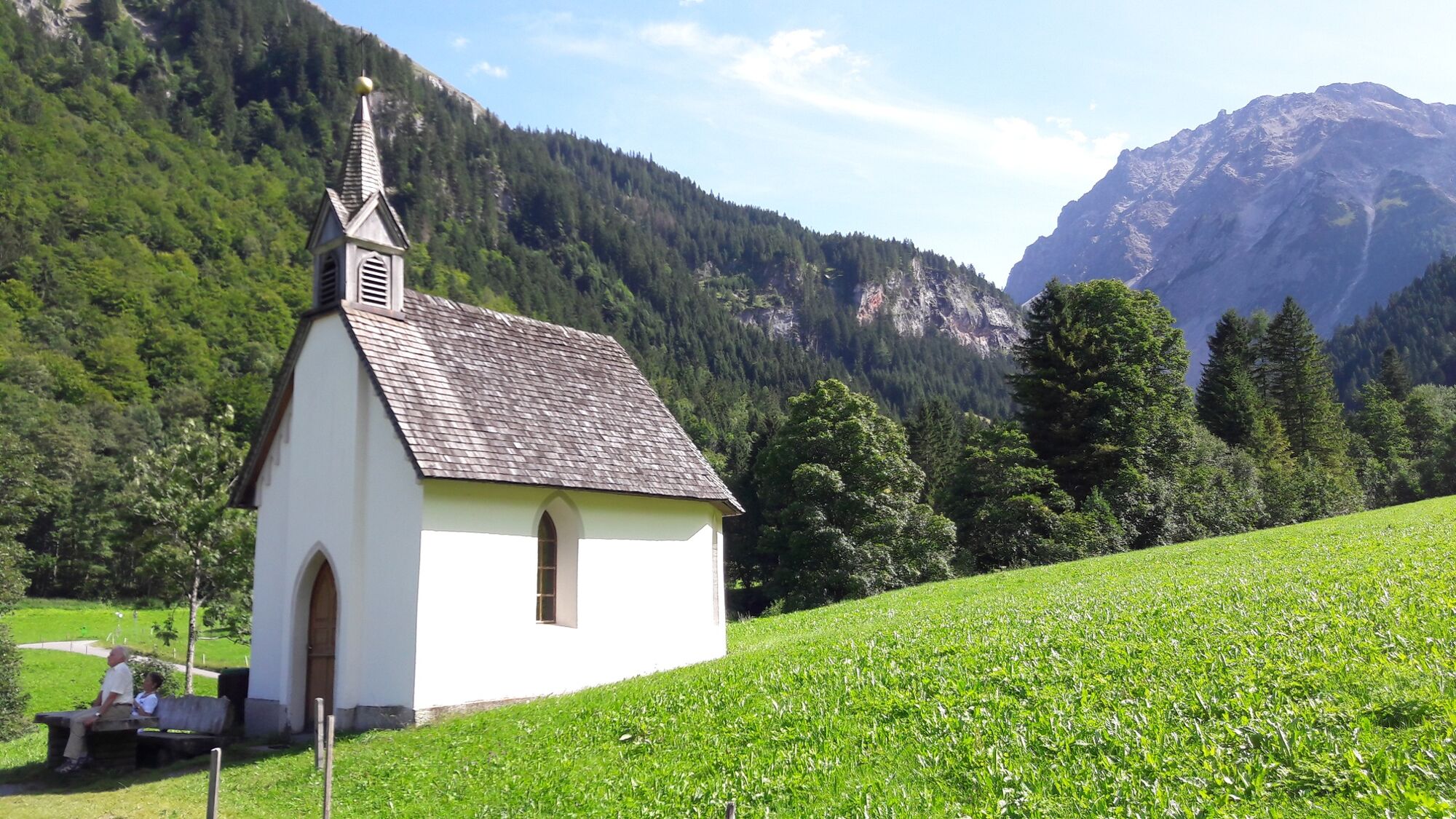
Herz-Jesu-Kapelle0.1 kmKesselfall1.2 km
- Best season
-
JanFebMarAprMayJunJulAugSepOctNovDec
- Description
-
The hike leads to the natural monument "Kesselfall" in Brand. Here, the Alvierbach torrent roars and foams through an approx. 40 m deep gorge. In the Innertal, the trail leads briefly along the Schattenlagantstraße. At the Herz-Jesu chapel you cross the Alvierbach. Immediately after the bridge, the Schattenlagantweg branches off in the direction of Kesselfall. Follow the path until you reach the junction "Kesselfall". From here, turn right across the stream to the bridge over the Kesselfall. The way back leads over the Weißtannenmaisäß and on the Schattenlagantstraße back to Brand Innertal.
- Directions
-
Car park Innertal - Schattenlagantstraße - Sacred Heart Chapel - bridge - Schattenlagantweg junction - Schattenlagantweg - Kesselfall junction - Kesselfall - Weißtannenmaisäß - Schattenlagantstraße - car park Innertal
- Highest point
- 1,156 m
- Endpoint
-
Car park Innertal, Brand
- Height profile
-

- Equipment
-
Ankle hight mountain boots, warm clothing, rain and sun protection and hiking poles are recommended. Cell phone for emergencies.
- Safety instructions
- Directions
-
maps.google.at
- Public transportation
- Parking
-
Car park in Innertal, Brand


- Author
-
The tour To the Kesselfall | Brand is used by outdooractive.com provided.


-
Heidiland
2201
-
Brandnertal
1567
-
Brand
431


