- Brief description
-
The panoramic hike from Alpe Steris over the Upper and Lower Partnom Alps is perfect for connoisseurs.
- Difficulty
-
medium
- Rating
-
- Starting point
-
Sonntag-Stein cable car valley station, Sonntag
- Route
-
Seilbahn StubaAlp Steris3.8 kmSterisstüble3.8 kmBreithornhütte7.4 kmUnterpartnomalpe8.5 kmSeilbahn Stuba9.8 km
- Best season
-
JanFebMarAprMayJunJulAugSepOctNovDec
- Description
-
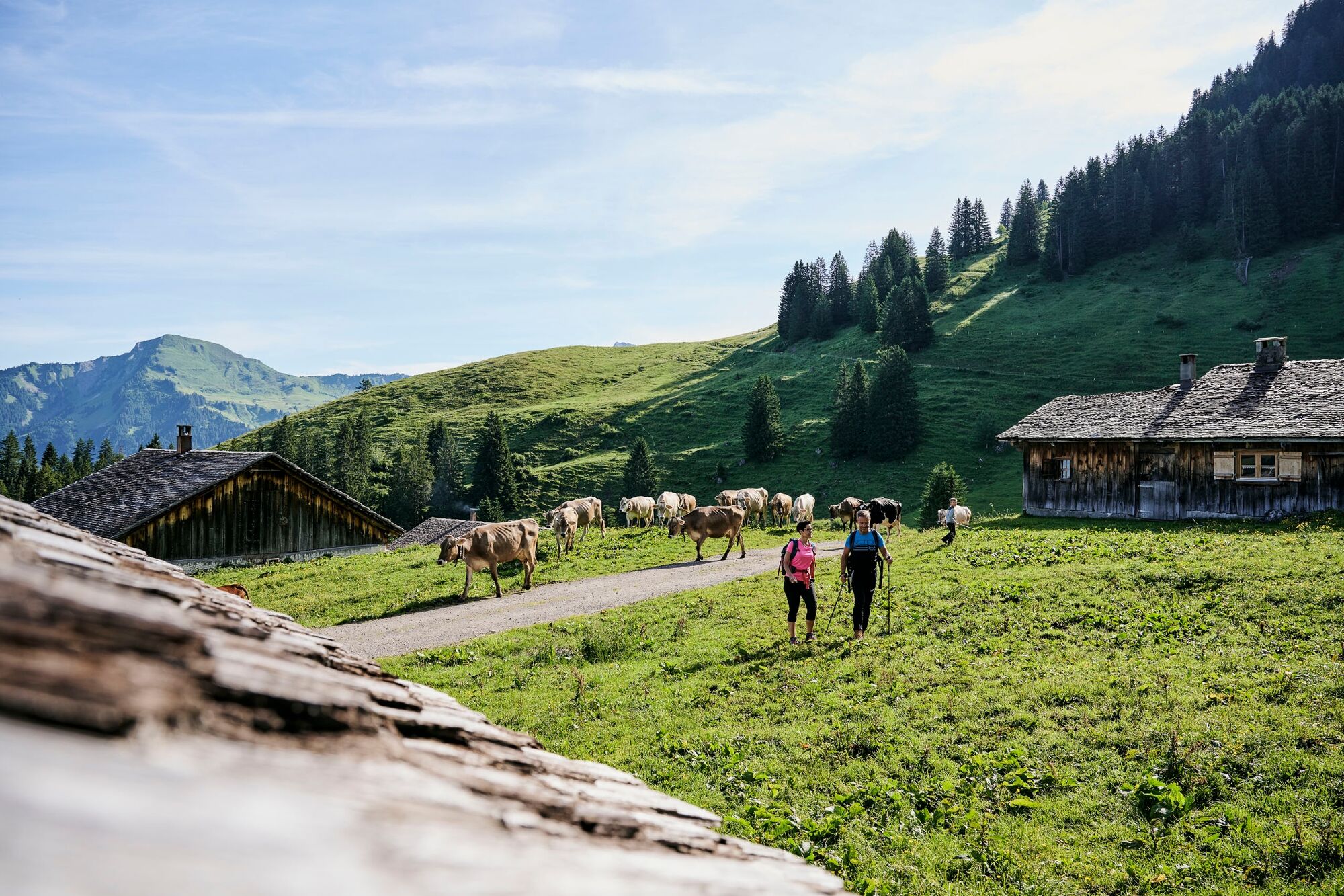
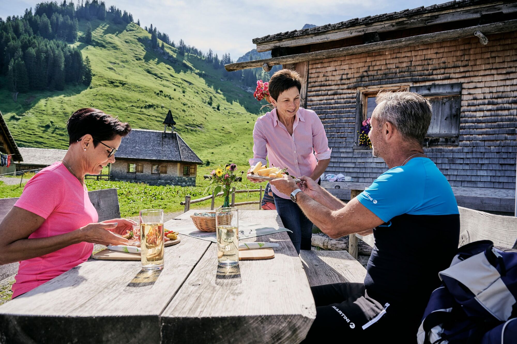
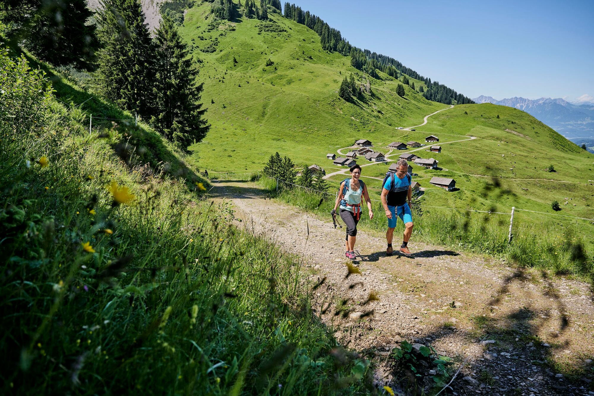
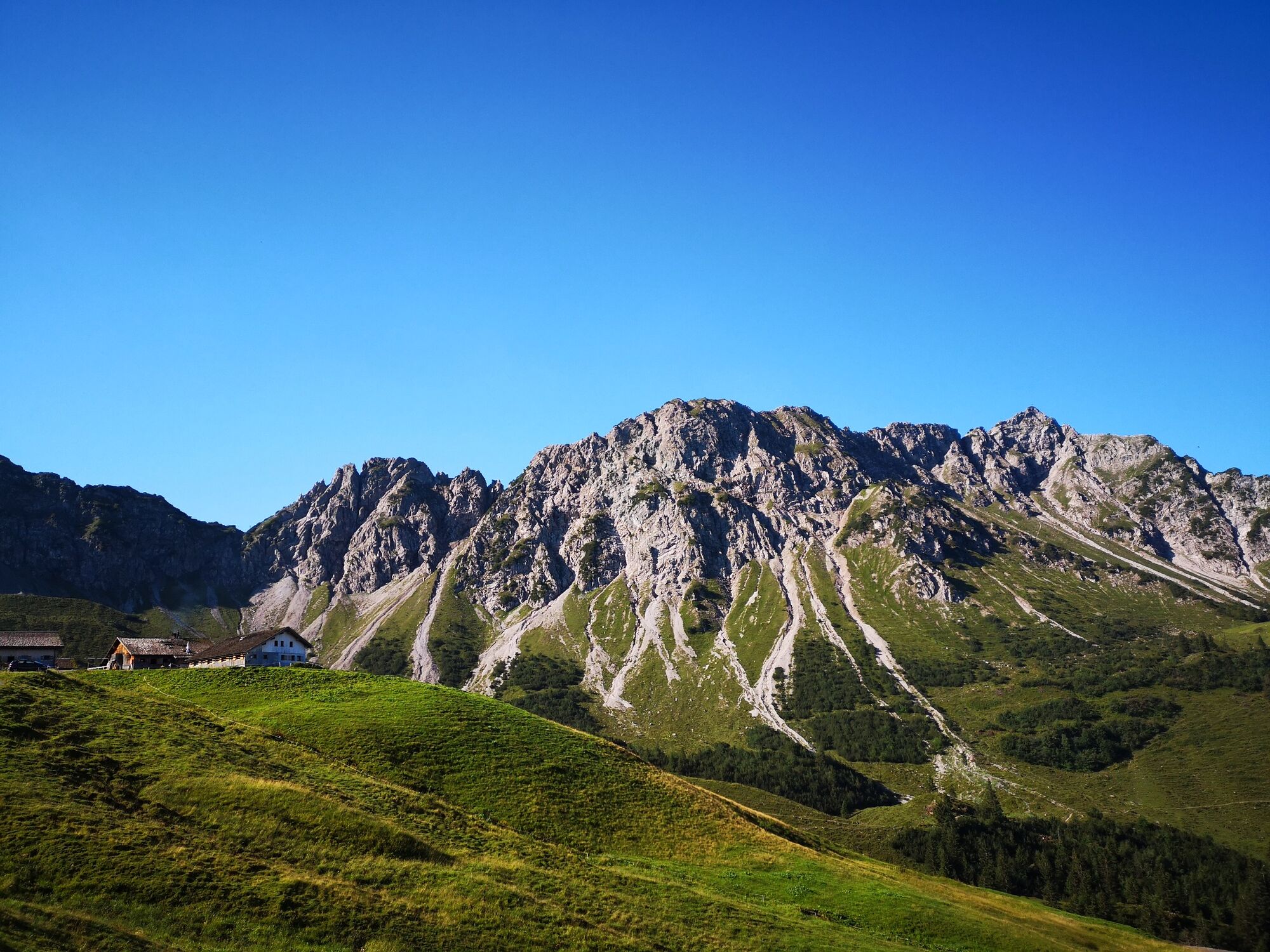
The cable car takes you from the valley station in Sonntag across the valley to the mountain station in Sonntag-Stein. This beautiful circular hike starts at the mountain station with a short ascent before the hiking trail branches off to Alpe Steris. A meadow and forest path leads through the Bickelwald forest and over the Steintobel ravine and then you will reach Alpe Steris via a forest road. At the foot of the Breithorn you can take a break in the Sterisstüble. Continue along a meadow path across flowering alpine pastures to the Oberpartnom alpine pasture. At the Alpe Oberpartnom, the Breithornhütte invites you to take a short break. The trail then continues downhill along the goods road to the Unterpartnom alpine pasture, from where a meadow hiking trail leads directly back to the starting point.
- Directions
-
Sonntag-Stein cable car valley station - ascent with cable car - Sonntag-Stein cable car mountain station - meadow and forest trail - Bickelwald - Steintobel - forest road - Alpe Steris - meadow hiking trail to Alpe Oberpartnom - goods road to Alpe Unterpartnom - meadow hiking trail - Sonntag-Stein cable car mountain station
- Highest point
- 1,672 m
- Endpoint
-
Sonntag-Stein cable car valley station, Sonntag
- Height profile
-

- Equipment
-
Ankle-high mountain boots with treaded soles, sun and rain protection, snack, filled water bottle and first aid kit. Mobile phone in case of emergency. Walking sticks are recommended.
- Safety instructions
- Tips
-
This hike can also be hiked in the opposite direction and for all gourmets the "Culinary Pleasure Round" is a special tip. Ask at the ticket office of the Sonntag-Stein cable car for the "Culinary Pleasure Round".
- Directions
- Public transportation
- Parking
-
Parking at cable car Sonntag-Stein

- Author
-
The tour Steris - Oberpartnom - Unterpartnom | Sonntag is used by outdooractive.com provided.