


- Brief description
-
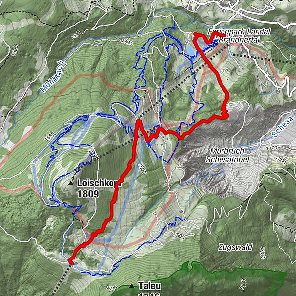
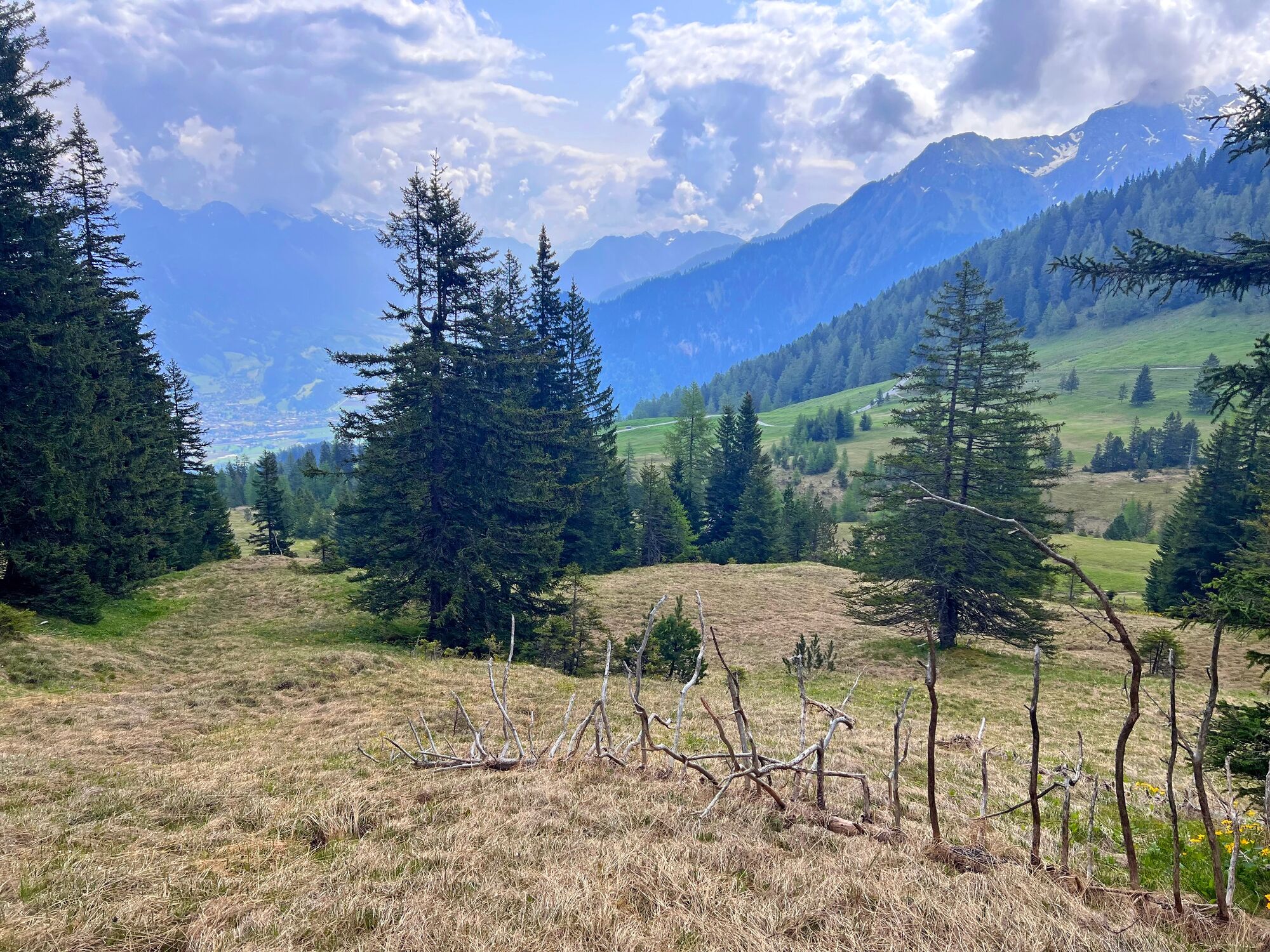
Beautiful hike along the Schesatobel from the Einhornbahn II valley station up to the Frööd restaurant at the Burtschasattel.
- Difficulty
-
medium
- Rating
-
- Starting point
-
Einhornbahn II valley station, Bürserberg
- Route
-
Rufana Alp0.6 kmFuchsbau2.1 kmFrööd4.1 kmFuchsbau6.0 kmRufana Alp7.3 km
- Best season
-
JanFebMarAprMayJunJulAugSepOctNovDec
- Description
-
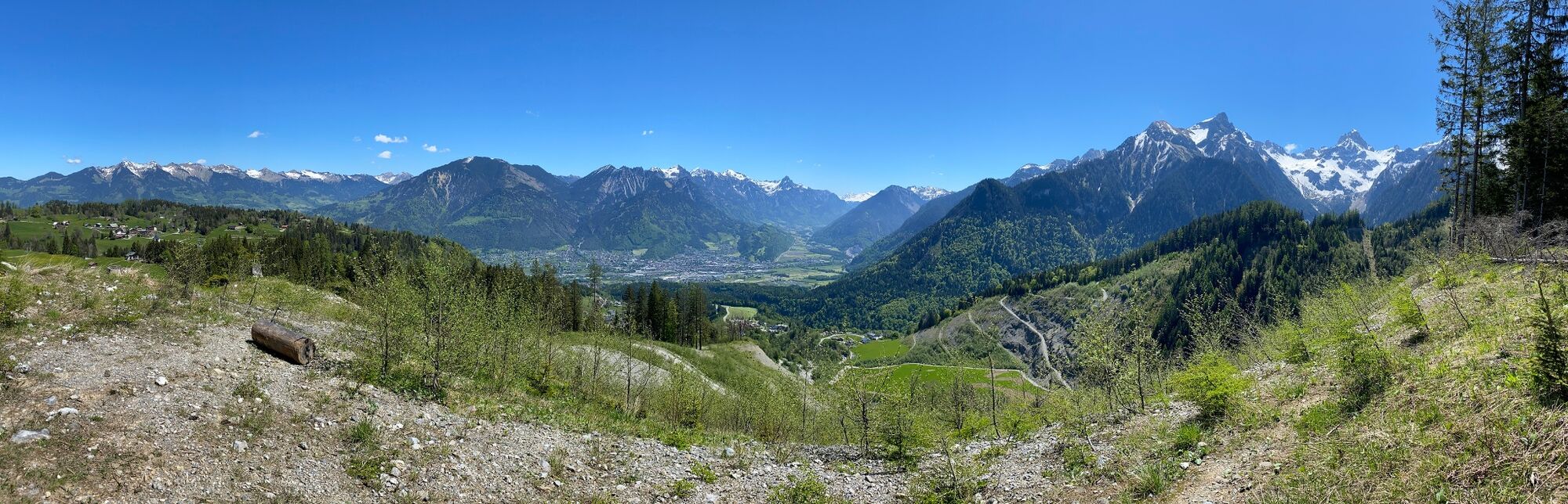
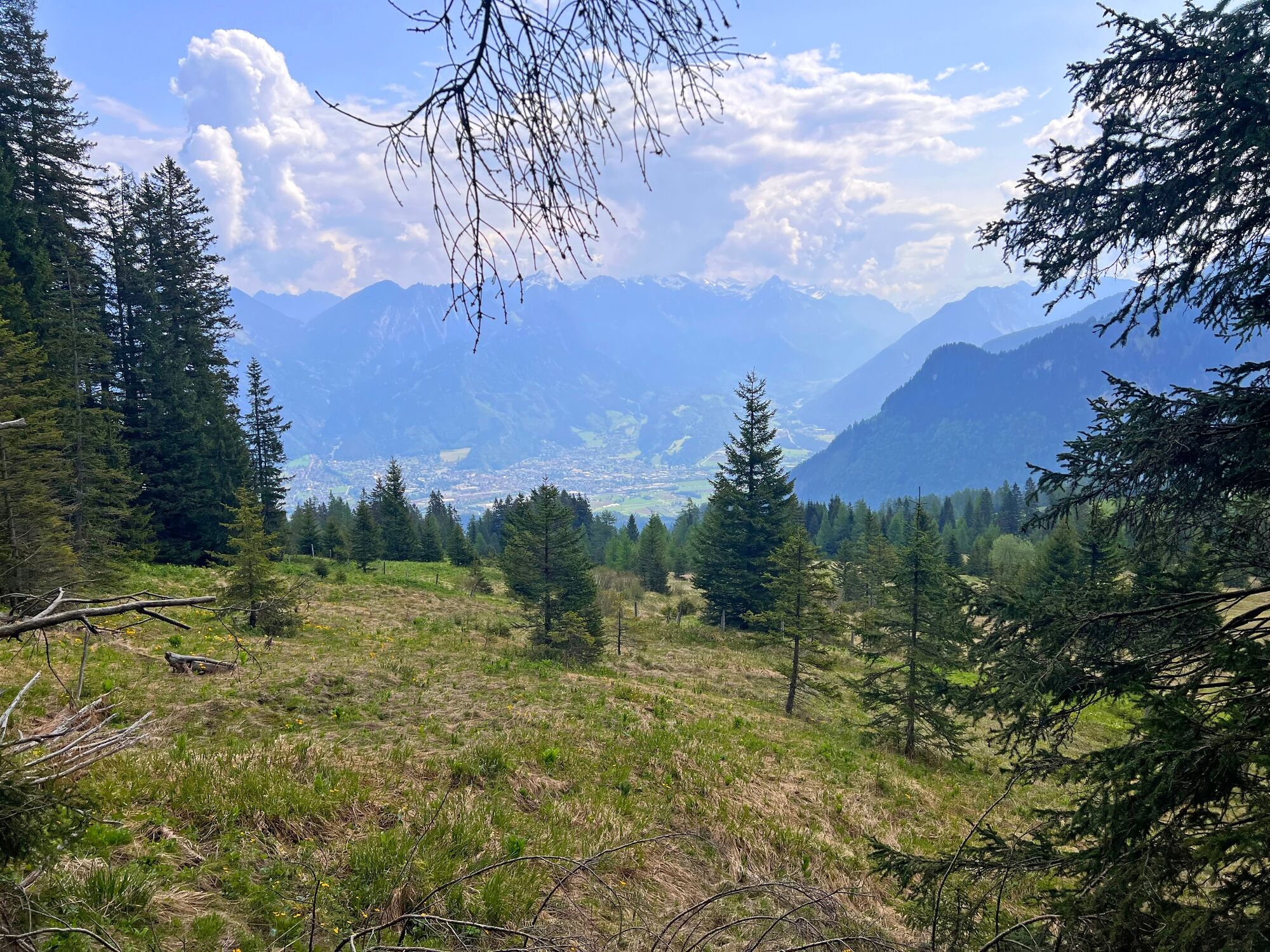
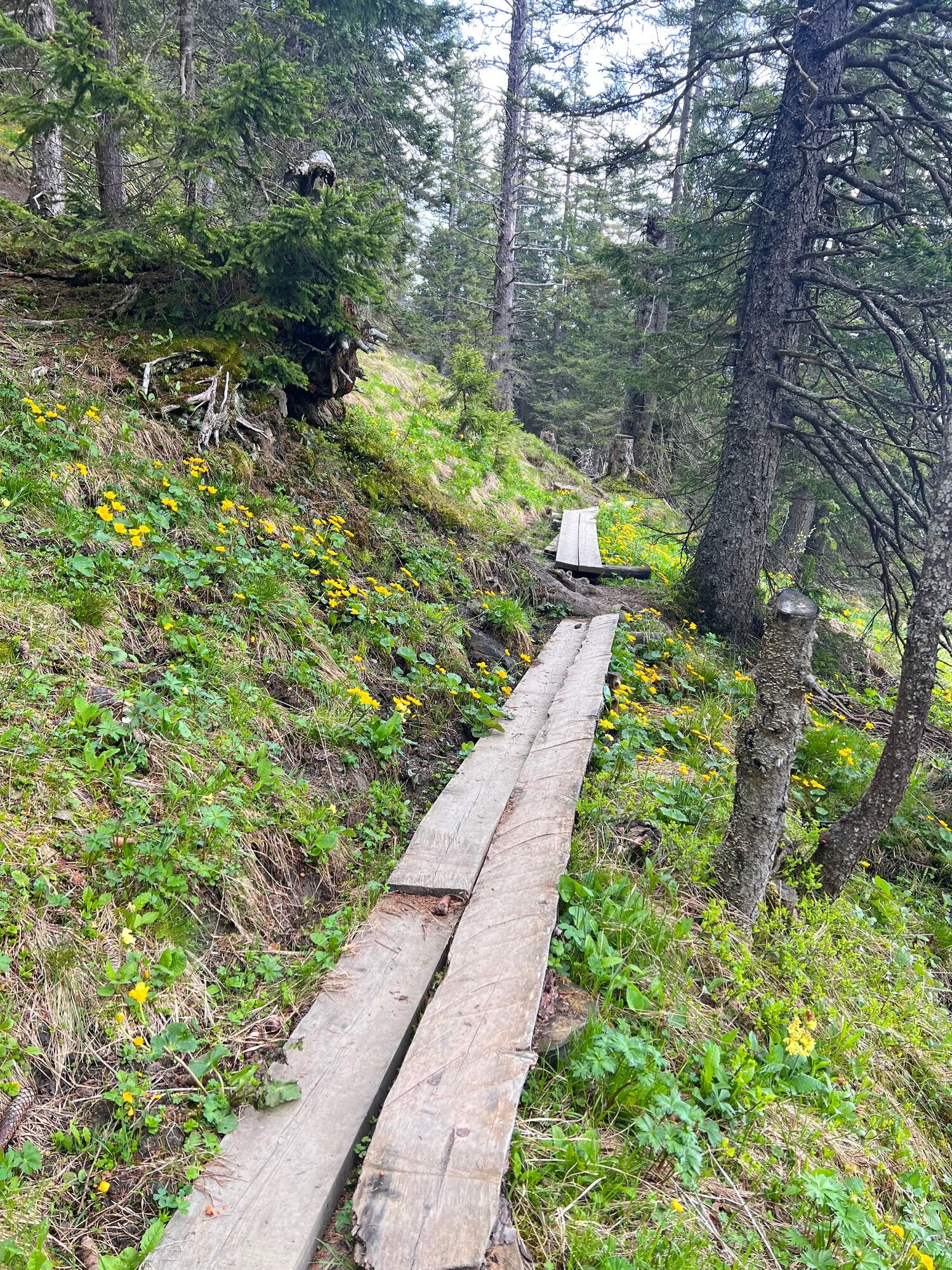
The start of this tour is at the valley station of the Einhornbahn II. From here, this hike leads past the car parks up to the alpine pasture and continues along the goods path to Rufana Alp. Alternatively, you can also start from the hikers car park (P3) in the direction of Rufana Alp. After Rufana Alp, the trail branches off to the right at the barrier and leads uphill through a very beautiful section of forest. After the Schesatobel view point, the trail leads along old walls and over boardwalks up to the Bürser Skihütte (ski hut), where you cross the main road and follow the hiking trail next to the Fuchsbau restaurant in the direction of the Einhornbahn II mountain station. Before you get there, follow the path in the direction of the Burtschasattel. Here the trail continues uphill along a beautifully laid out meadow and forest path, partly on boardwalks. Pass Alpe Klampera, which is no longer farmed, and climb the last short stretch to Burtschasattel/Restaurant Frööd/mountain station Panoramabahn. Return via the same path or along the goods path in the direction of Burtscha Alpe and from there continue to the Fuchsbau ski hut and back to the starting point.
- Directions
-
Einhornbahn II valley station - goods path - alpine pasture - Rufana Alp - turn right - hiking trail - Schesatobel - hiking trail - goods path crossing - Fuchsbau restaurant - Einhornbahn II mountain station - hiking trail - Alpe Klampera - Restaurant Frööd/Burtschasattel/Panoramabahn mountain station - same way back
- Highest point
- 1,664 m
- Endpoint
-
Einhornbahn II valley station, Bürserberg
- Height profile
-

- Equipment
-
Sturdy shoes, appropriate clothing, rain and sun protection and walking sticks are recommended. Mobile phone in case of emergency.
- Safety instructions
- Public transportation
- Parking
-
Car park at the Einhornbahn II valley station or at the Tschengla hikers' car park

- Author
-
The tour Schesatobelweg | Bürserberg is used by outdooractive.com provided.


General info
-
Appenzellerland
1956
-
Brandnertal
1568
-
Brand
431


