

- Brief description
-
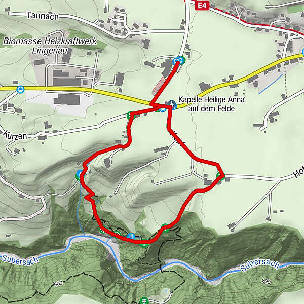
Nice tour to the calcareous tuff in Lingenau, which is one of the most remarkable calc-sinter formations to the north of the Alps.
- Difficulty
-
easy
- Rating
-
- Starting point
-
Lingenau swimming pool car park (Hotel Quellengarten)
- Route
-
Kapelle Heilige Anna auf dem Felde0.1 kmRain0.6 kmSt. Anna2.2 km
- Best season
-
JanFebMarAprMayJunJulAugSepOctNovDec
- Description
-
The calc-tufa in Lingenau is one of the most unique calc-tufa formations north of the Alps, making it one of the outstanding geological phenomena in Vorarlberg. The water flows in small flumes over rocks as far as the riverbed of the Subersach, forming canopies and sinter curtains. Five information boards describe the geology and vegetation of this spectacle of nature. The nature trail takes you mainly across a passable gravel path with wooden bridges and steps.
- Directions
-
The calcareous tuff in Lingenau is one of the most remarkable calc-sinter formations to the north of the Alps. The water flows in small flumes over rocks as far as the riverbed of the Subersach, forming remarkable canopies and sinter curtains. Calcareous tuff is easy to process, and has long been used as a buildingmaterial, such as in the baroque St. Anna Chapel.
- Highest point
- 670 m
- Endpoint
-
Lingenau swimming pool car park (Hotel Quellengarten)
- Height profile
-

- Safety instructions
- Tips
-
The wooden bridges can be slippery when wet!
- Additional information
-
Detailed directions are available from the tourist office.
Chances to stop off for a drink/food:
inns in Lingenau - Directions
-
from Germany: Motorway Lindau - Pfänder Tunnel - Motorway exit Dornbirn Nord (toll sticker required) - Bregenzerwald - Hittisau; oder Autobahn Kempten - Immenstadt - Oberstaufen - Ach - Riefensberg - Krumbach - Langenegg - Lingenau
from Switzerland: Motorway St. Gallen - St. Margrethen/Au - Lustenau - Dornbirn - Bregenzerwald - Alberschwende - Lingenau - Public transportation
- Parking
-
car park at the Hotel Quellengarten (swimming pool)
- Author
-
The tour Lingenau | when water turns to stones is used by outdooractive.com provided.


General info
-
St. Gallen - Bodensee
2067
-
Bregenzerwald
2297
-
Lingenau
731


