


- Brief description
-
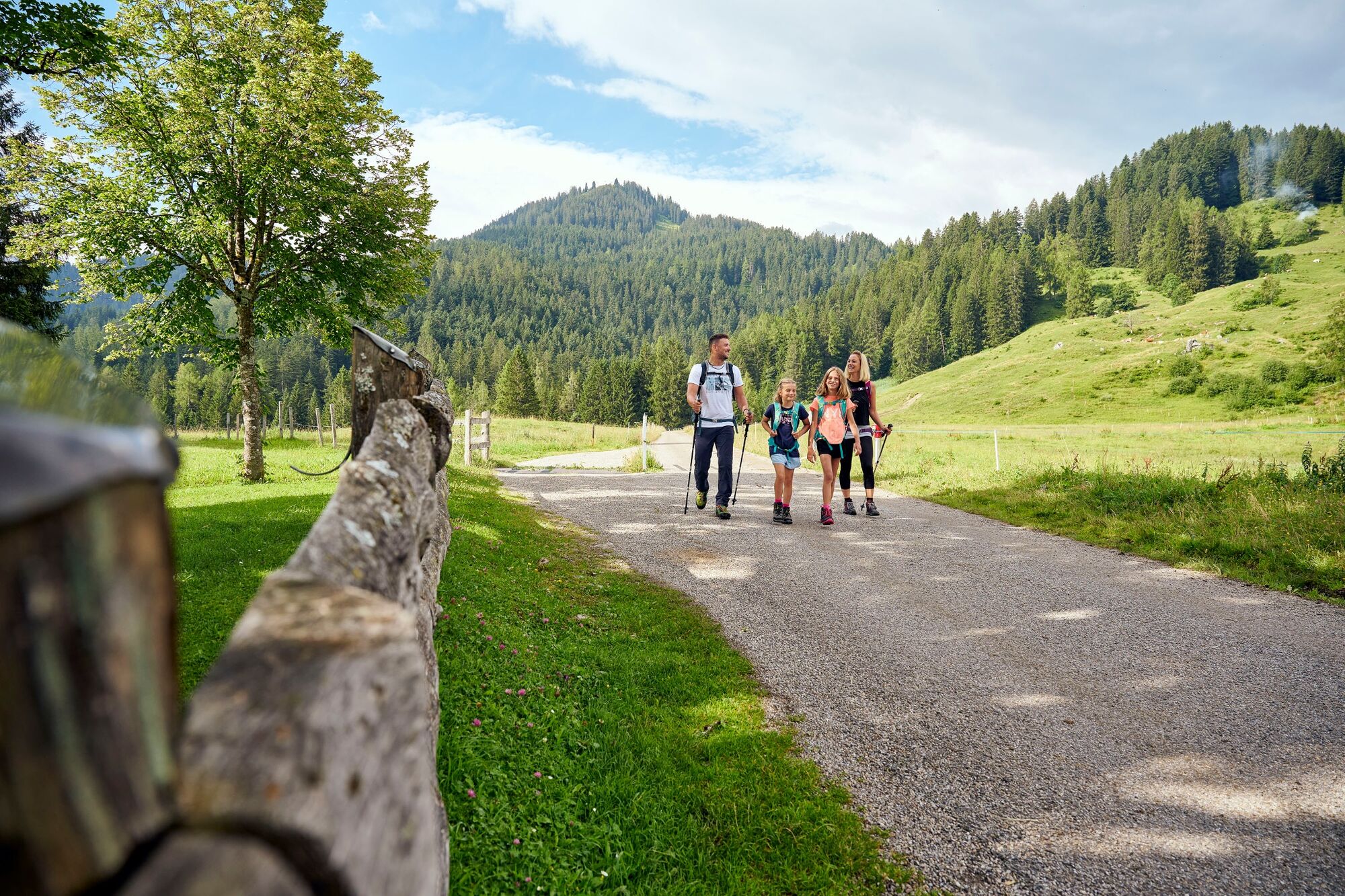
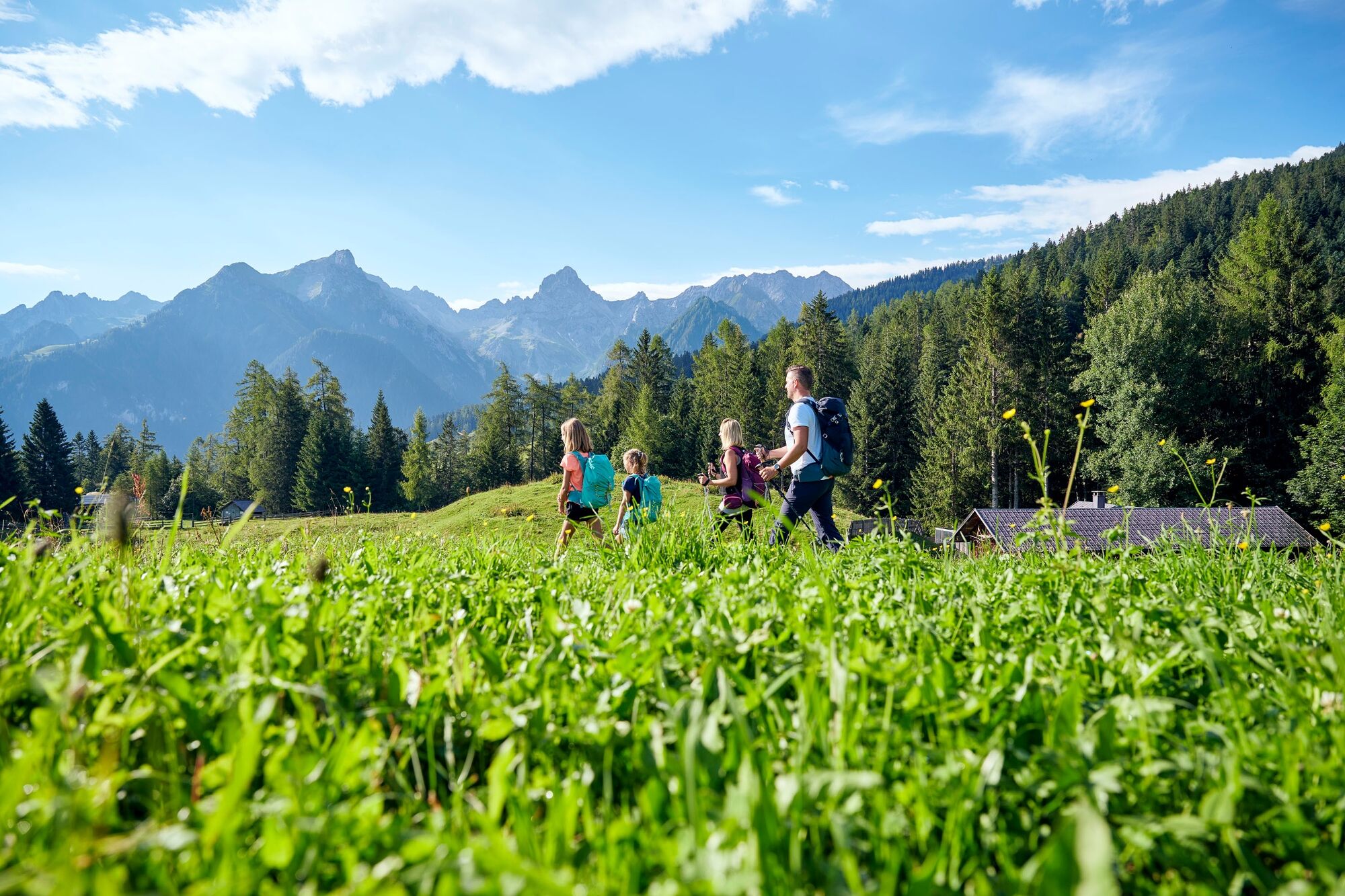
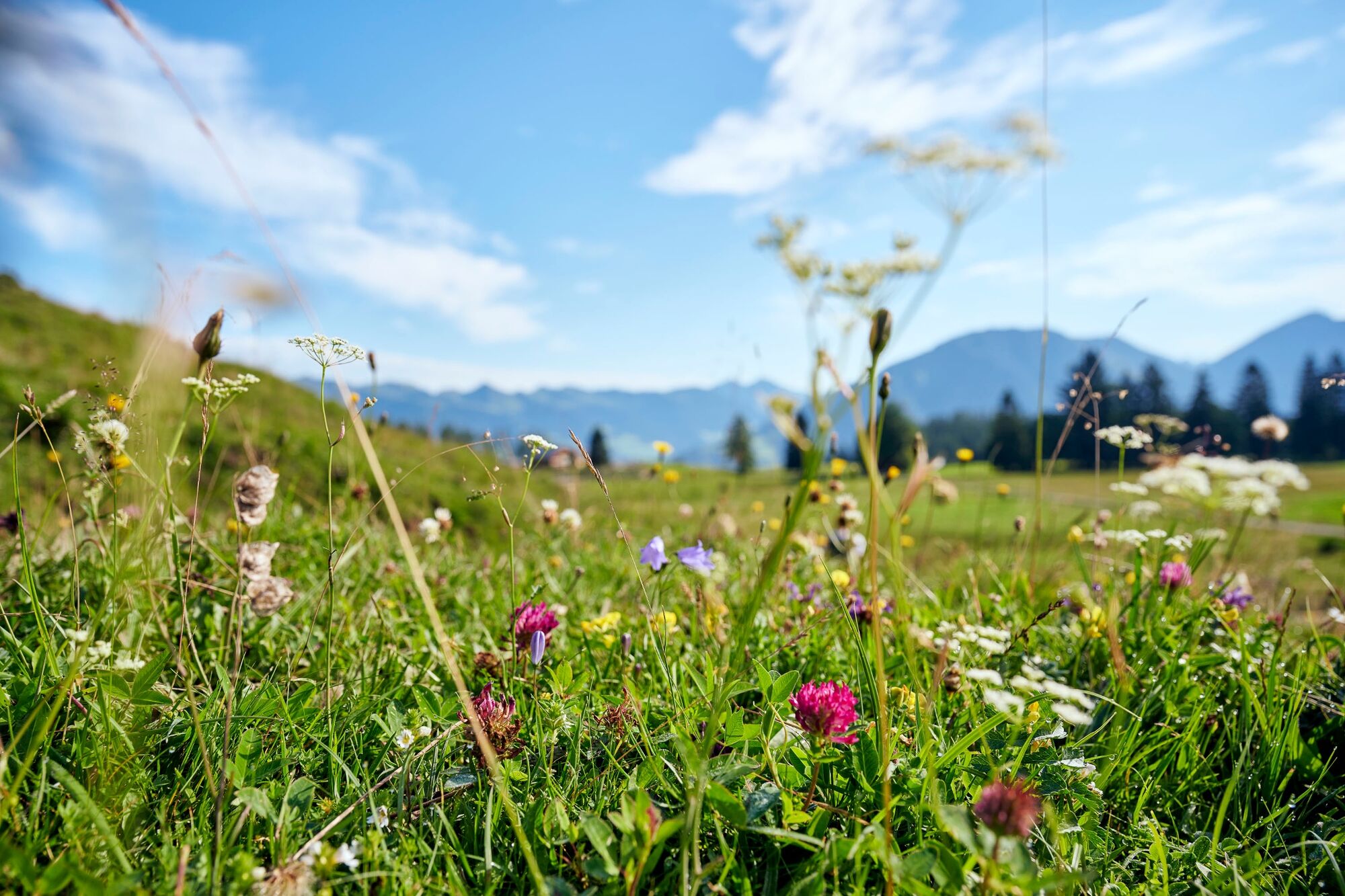
Family-friendly hike on the sunny Tschengla high plateau.
- Difficulty
-
easy
- Rating
-
- Starting point
-
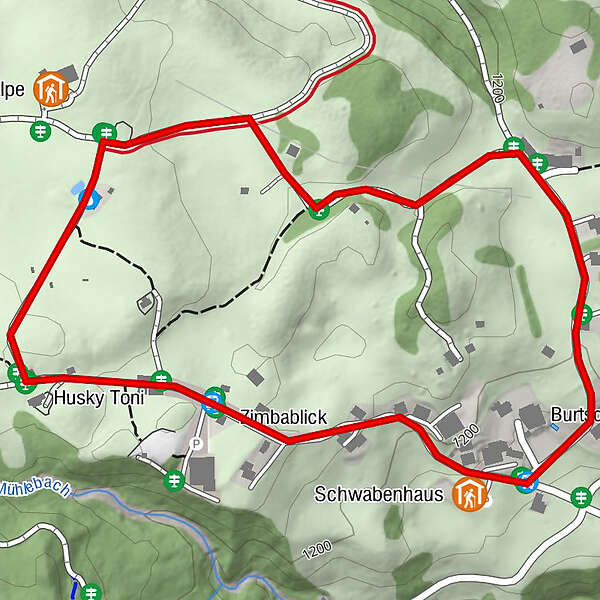
Hikers' parking lot Tschengla, Bürserberg
- Route
-
Tschengla1.3 kmSchwabenhaus1.4 km
- Best season
-
JanFebMarAprMayJunJulAugSepOctNovDec
- Description
-
This leisurely circular hike on the sunny high plateua Tschengla gives you an impressive panorama of the surrounding mountains with a view of the "Vorarlberg Matterhorn", the Zimba! The circular trail leads you from the Tschengla hiking parking lot in the direction of Alpe Rona, where you branch off to the right onto the Walserweg. For about 500m you walk along the cultural-historical long-distance hiking trail, which reminds you of the history and present of the Vorarlberg Walser. At the crossing at the double house, follow the road to the right until you reach the Hotel Burtschahof. Turn right again to reach the starting point at the hikers' parking lot.
- Directions
-
Hiking parking lot Tschengla - Alpe Rona - Double House - Hotel Burtschahof - hiking parking lot Tschengla
- Highest point
- 1,237 m
- Endpoint
-
Hikers' parking lot Tschengla, Bürserberg
- Height profile
-

- Equipment
-
Sturdy shoes, warm clothing, rain and sun protection and walking sticks are recommended. Cell phone in case of emergency.
- Safety instructions
- Tips
-
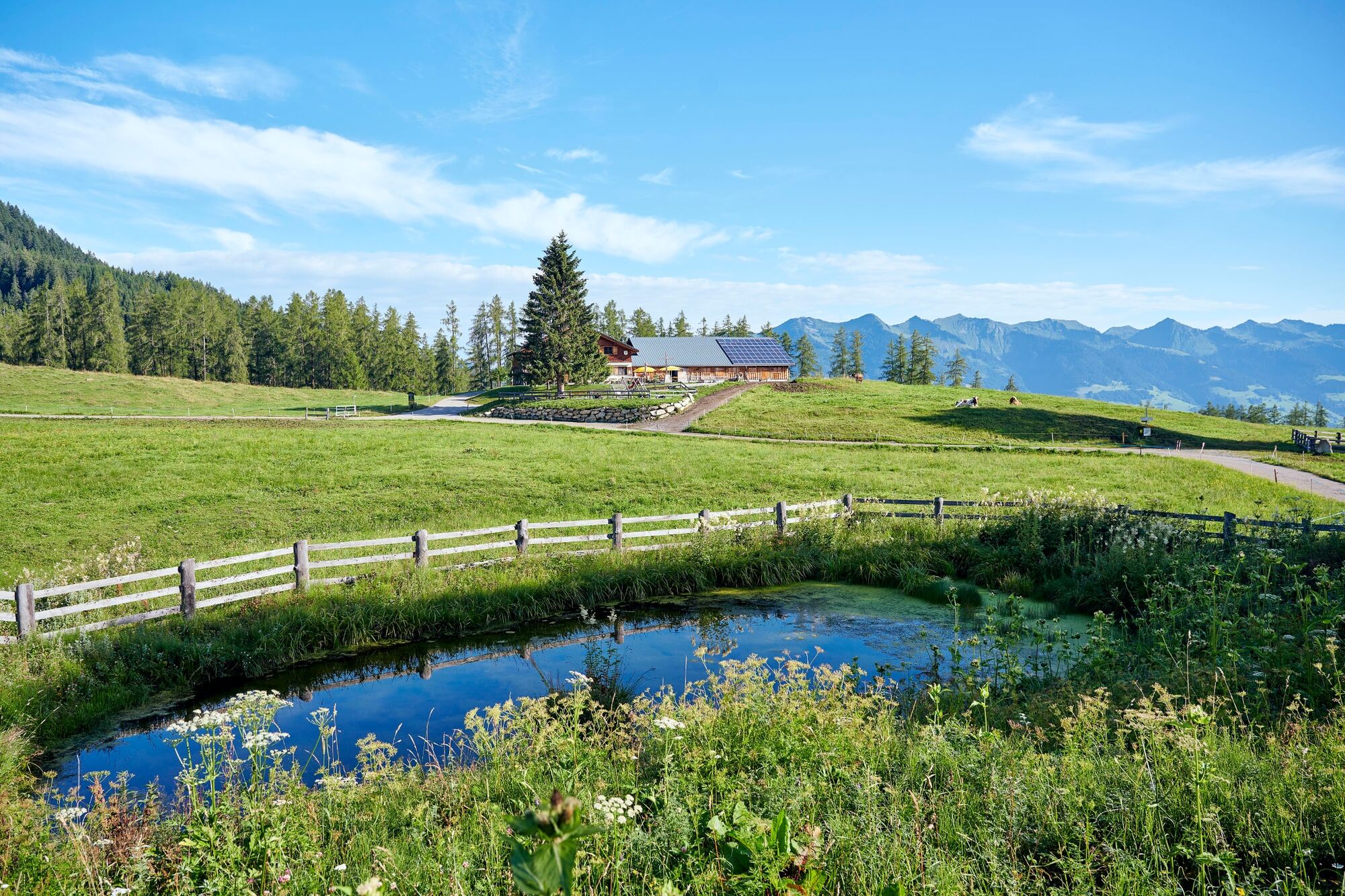
The Alpe Rona invites you to stop for a break!
- Public transportation
- Parking
-
Hikers' parking lot Tschengla, Bürserberg
- Author
-
The tour Tschengla circular trail | Bürserberg is used by outdooractive.com provided.


General info
-
St. Gallen - Bodensee
2065
-
Brandnertal
1567
-
Bürserberg
483


