- Brief description
-
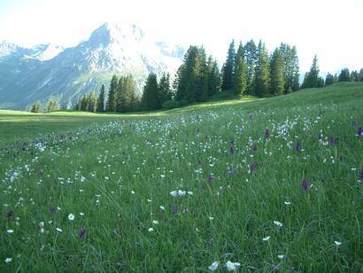
This hike is a little more challenging but you will be rewarded with gorgeous views.
- Difficulty
-
easy
- Rating
-
- Starting point
-
Rüfiplatz
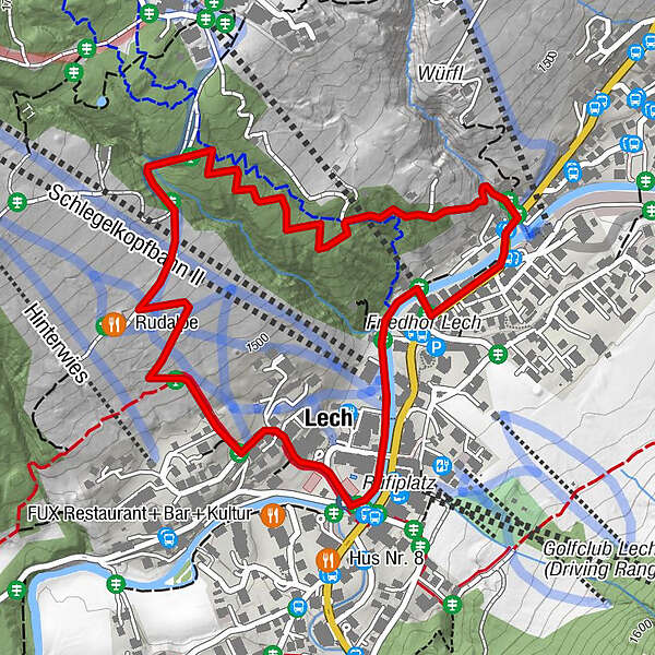
- Route
-
Bergbahn Lech - Oberlech0.0 kmLech (1,444 m)0.7 km
- Best season
-
JanFebMarAprMayJunJulAugSepOctNovDec
- Description
-
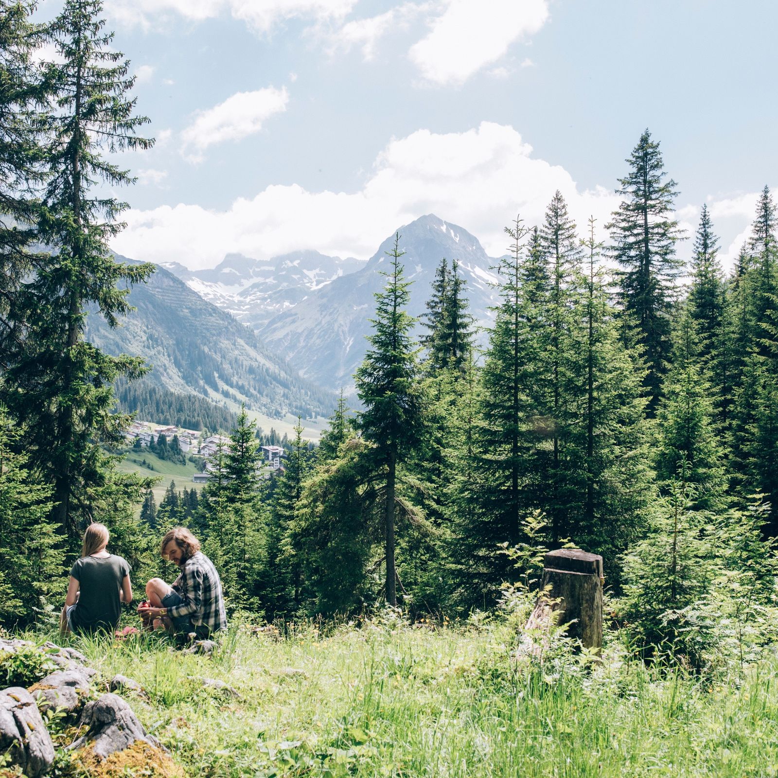
A family-friendly hike through the picturesque landscape of Lech with numerous culinary possibilities to stop and enjoy the landscape.
- Directions
-
The walk starts at the hike starting point Rüfiplatz. You then follow the Lech Promenade downstream to Martin’s Chapel. Here, you follow the forest trail to your left, going steeply uphill. After the first incline, you will get to a rest place. Then continue through the forest, always slightly uphill. You can enjoy the view back over Lech from several clearings. You will eventually reach a forest road, which you follow downhill to the left through the forest. After the wooded area, you reach broad swathes through which the forest road winds its way downwards. Soon, you reach the rustic Rud-Alpe. Here, you can rest and have a bite to eat on the generous sun terrace or in the cosy interior with its open fireplace. Further on downwards you will pass a rest place.From here, it is only a few metres downhill until you get to a back road. Follow the road on the left-hand side and turn right at the next junction going downhill until you reach an old roofed wooden bridge. Follow the Lech Promenade to the left going downstream. When you reach the Pension Waldesruh, cross the Lech River on the bridge and you will end up back at the starting point.
- Highest point
- 1,590 m
- Endpoint
-
Rüfiplatz
- Height profile
-

- Equipment
-
Good footwear (ankle high, profile sole), rain protection, Lech Card and bus timetable.
- Safety instructions
-
The trail can also be used in rain or wet conditions.
EMERGENCY CALL:
140 Alpine Emergencies Austria-wide
144 Alpine Emergencies Vorarlberg
112 Eruo emergency call (works with any mobile phone/network)
www.vorarlberg.travel/sicherheitstipps
- Tips
-
Special features: The walk can be shortened by using the Oberlech cable car
Sights: Martin’s Chapel ”on the street”; roadside shrine in the Tannberg district
Refreshment stops: Restaurants in Lech am Arlberg or Oberlech and the Rud-Alp
- Additional information
- Directions
-
From Germany: Take the A96 motorway to Bregenz from there on the A14 motorway to Bludenz, continue on the S16 to the Lech Zürs am Arlberg exit. Follow the B197 up to Alpe Rauz, turn left here onto the B198 through Flexengalerie and over the Flexenpass to Lech Zürs am Arlberg.
From Switzerland: Via the A13 motorway and the Feldkirch, Hohenems or Lustenau border crossing on the A14 motorway to Bludenz. Continue on the S16 until exit Lech Zürs am Arlberg. Follow the B197 up to Alpe Rauz, turn left here onto the B198 through Flexengalerie and over the Flexenpass to Lech Zürs am Arlberg.
From Austria: Via the Inntalautobahn A12 and then via the S16 to the exit St. Anton am Arlberg (Arlberg Pass). Follow the B197 first through St. Anton, then through St. Christoph and over the Arlbergpass to Alpe Rauz. Turn right here onto the B198, drive through Flexengalerie and over the Flexenpass to Lech Zürs am Arlberg.
- Public transportation
-
By train to Langen am Arlberg station or St. Anton am Arlberg. From there, buses (No. 750+760) run regularly to Lech Zürs am Arlberg.
- Parking
-
You can either park your vehicle directly at your host or park it in the underground garage Anger. The underground car park is located directly in the centre of town opposite Raiffeisenbank Lech. Opening hours 07:00 - 20:00 o' clock.
-

-
AuthorThe tour Burgwald path is used by outdooractive.com provided.