


- Brief description
-
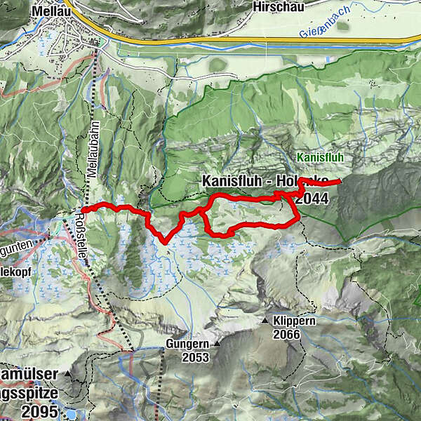
mountain station cable car (Roßstelle, 1,395 m) - Kanisalpe - Kanisfluh (2,044 m) - Wurzachalpe - Kanisalpe - Roßstelle cable car
- Difficulty
-
medium
- Rating
-
- Starting point
-
Mellau mountain station cable car
- Route
-
Hehlesattel (1,870 m)4.9 kmWurzach6.3 kmJausenstation Wurzachalpe6.3 km
- Best season
-
JanFebMarAprMayJunJulAugSepOctNovDec
- Description
-
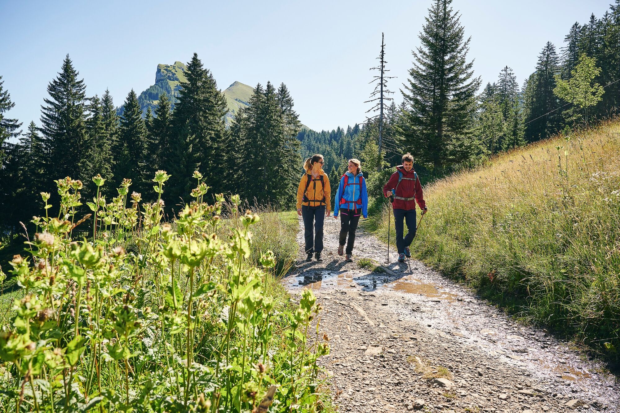
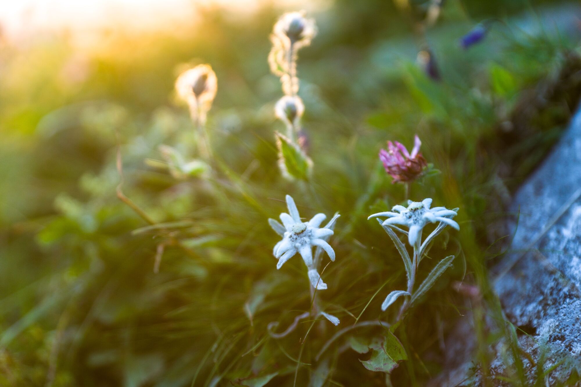
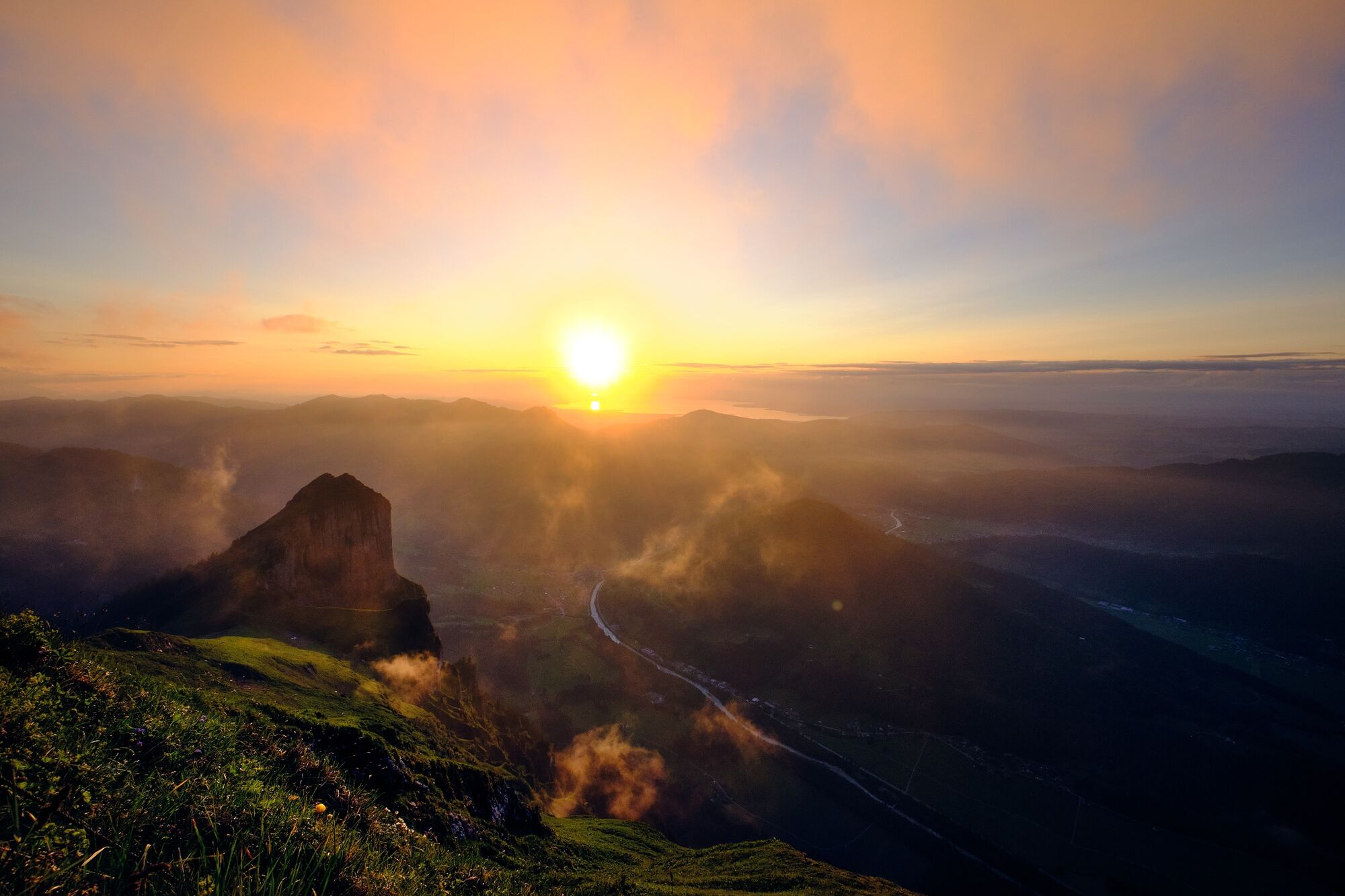
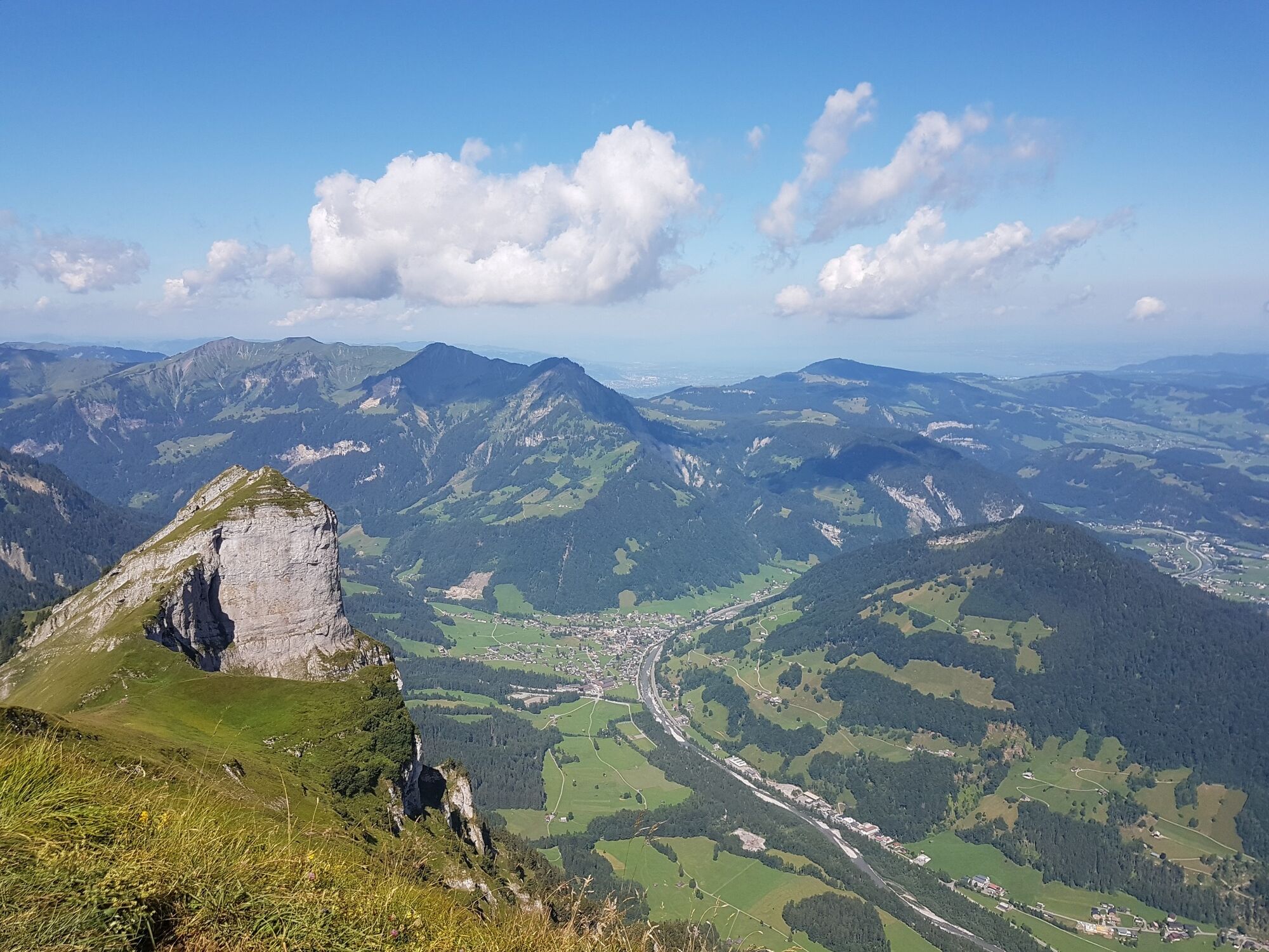
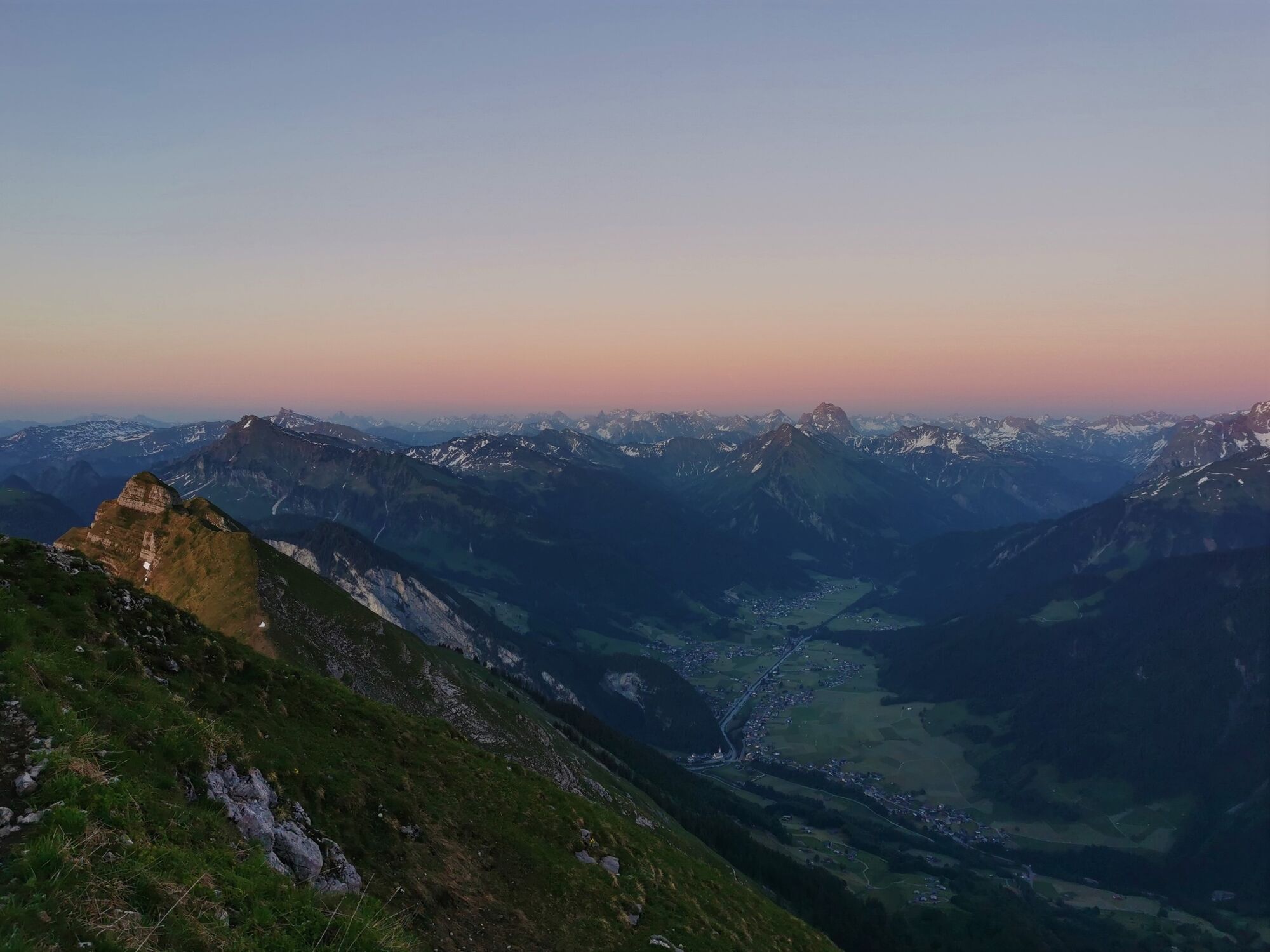
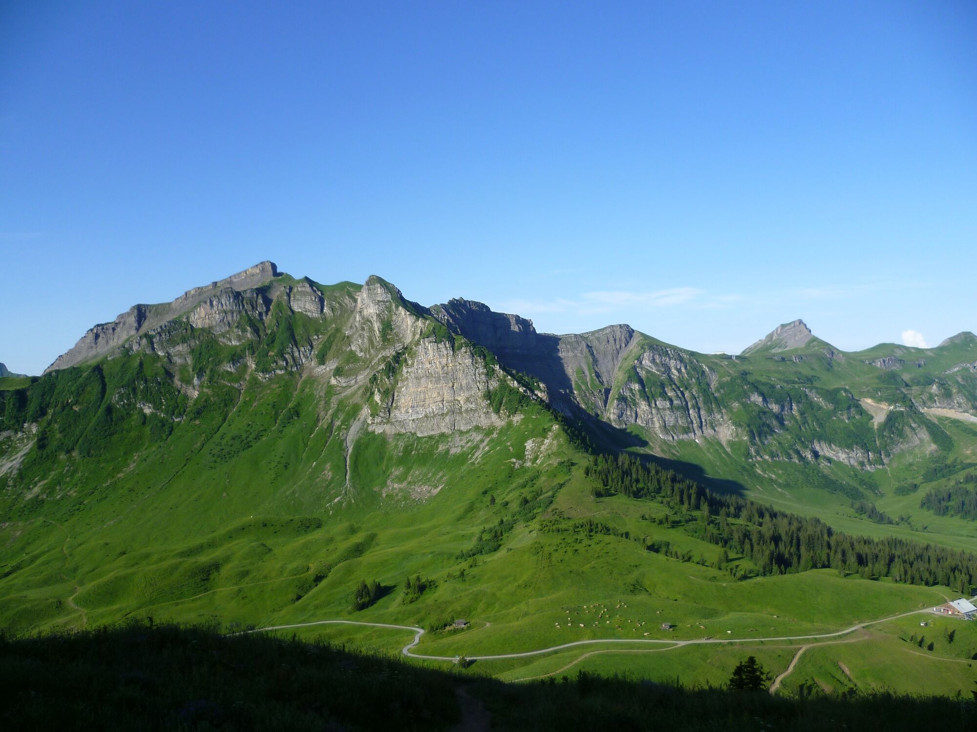
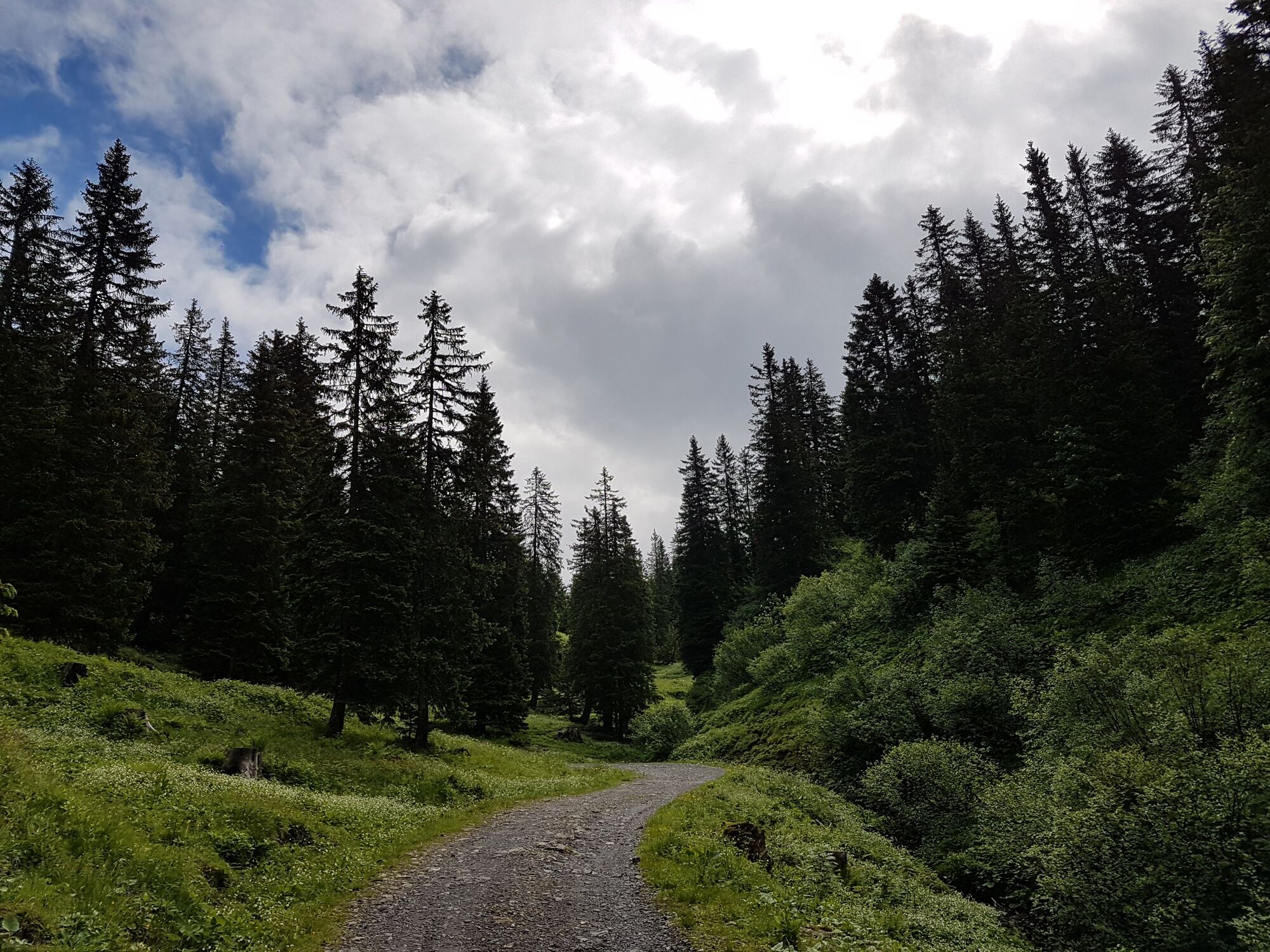
The Kanisfluh is one of the most striking mountains in the Bregenzerwald. The rocky north side is visible from the valley, the southern slopes are green and sunlit. It offers the ideal habitat for ibex as well as for 930 different species of butterfly. The first part of the hike is easy-going, and follows an agricultural path. After you have passed the Kanis alp, the ascent begins on a narrow path which takes you to the top of the Kanisfluh. To descend, take the Wurzachalpe option back down to the mountain station.
- Directions
-
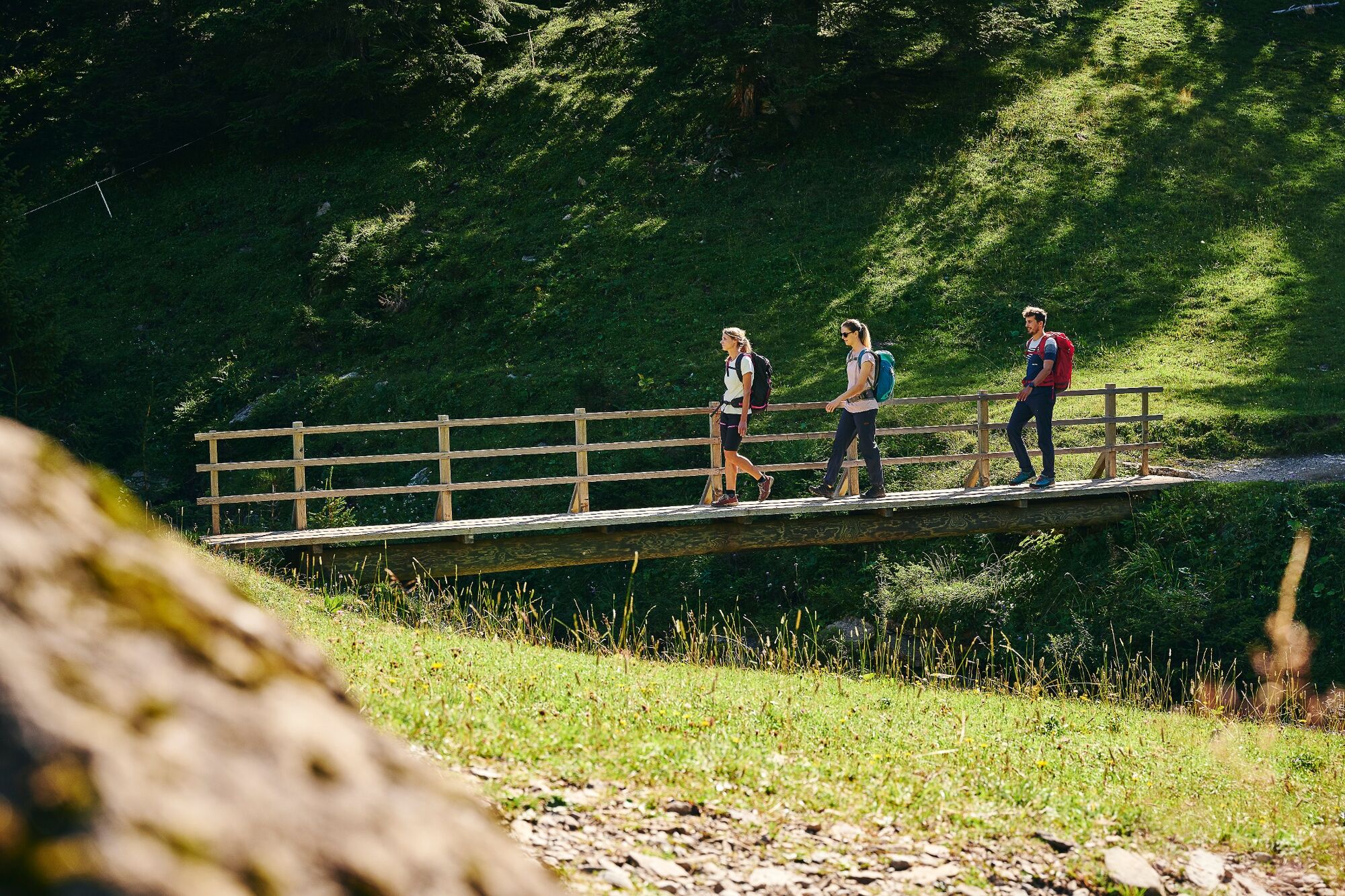
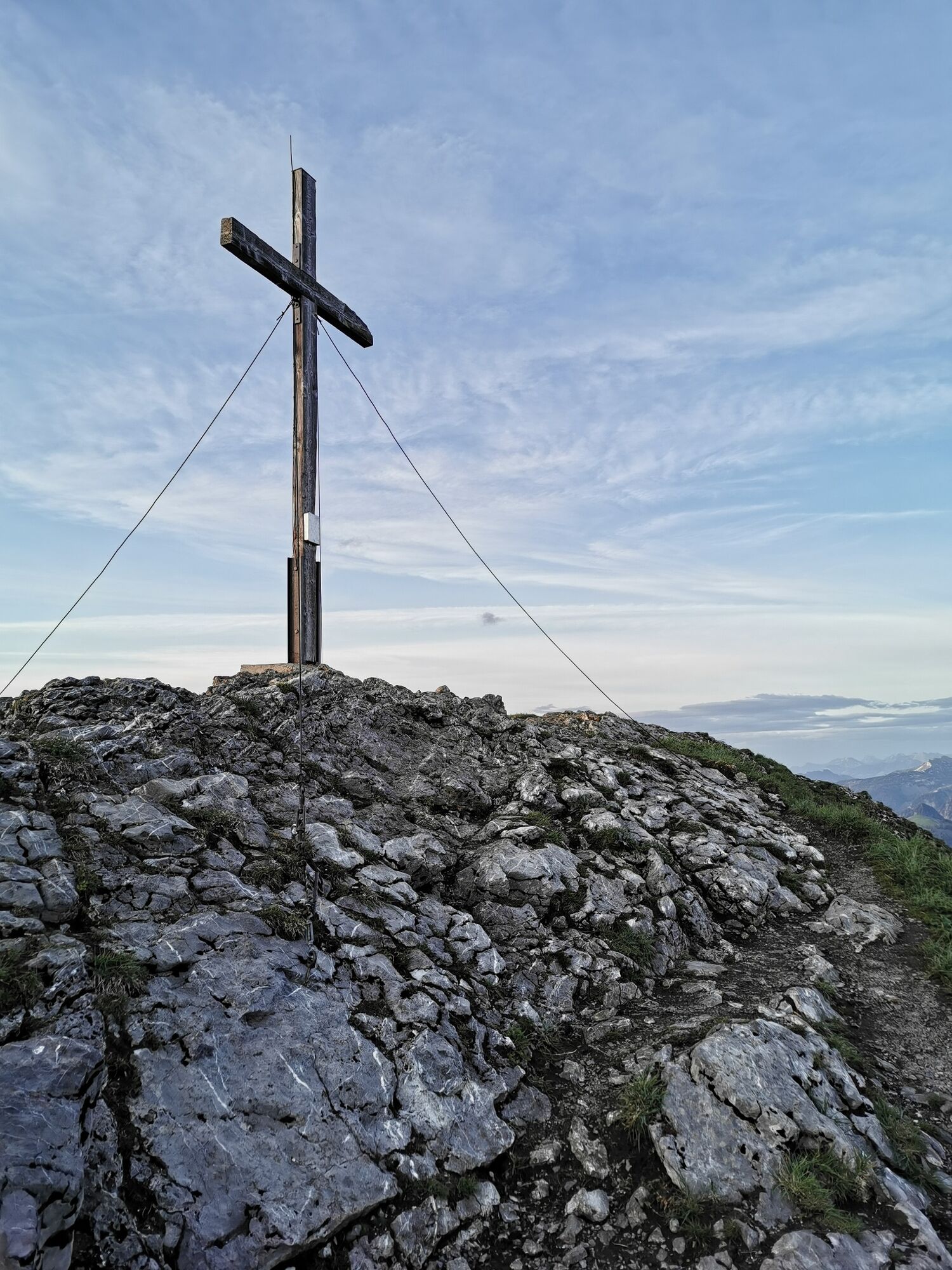
At the end of a leisurely stretch between the mountain station of Roßstelle and the Kanisalpe, you start the ascent to the Kanisfluh. In addition to a breathtaking panoramic view, with a bit of luck you will also catch sight of ibexes. On the way back to the mountain station, you pass the lovely Wurzachalpe.
- Highest point
- 2,014 m
- Endpoint
-
Mellau mountain station cable car
- Height profile
-

- Equipment
-
Mountain hiking trail - suitable for mountain shoes with a good tread recommended
- Safety instructions
- Tips
-
Chances to stop off for a drink/food:
Wurzachalpe, Kanisalpe (during the alp season from mid(late June through to mid-September), inns at the mountain station - Directions
-
From the North:
- Stuttgart - Ulm - Lindau
- or München - Memmingen - Lindau
From the West via Swiss motorways via Zurich - St. Gallen - St. MargrethenFrom the South via the routes
- Brenner motorway - Innsbruck - Arlberg pass - Lech - Warth
- or Arlberg road tunnel - Bludenz - Großes Walsertal - Bregenzerwald
- or Arlberg road tunnel - Feldkirch - Dornbirn - Bregenzerwald
- Como - San Bernardino - Chur - St. Margrethen - BregenzerwaldFrom the East
- Innsbruck - Arlberg pass - Lech - Warth
- or Arlberg road tunnel - Bludenz - Großes Walsertal - Bregenzerwald
- or Arlberg road tunnel - Feldkirch - Dornbirn - Bregenzerwald
Toll Sticker required by law
A toll applies to the use of Austria's motorways and dual carriageways. Types of toll sticker: "corridor" toll (border of Germany to the Hohenems exit, close to the Swiss border),
10-day, 2-month and yearly stickers.
Information: www.asfinag.at - Public transportation
- Parking
-
Parking at the base station cable car


-

-
AuthorThe tour Mellau | in the land of the ibex is used by outdooractive.com provided.


General info
-
St. Gallen - Bodensee
2065
-
Biosphärenpark Großes Walsertal
2006
-
Mellau
637


