

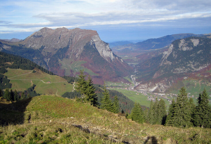
© Au-Schoppernau Tourismus - Monika Albrecht

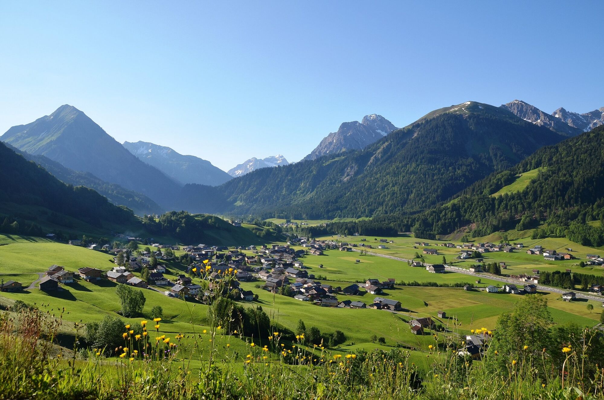
© Au-Schoppernau Tourismus - Herbert Flatz


- Brief description
-
A moderatley difficult hike from Schoppernau up to the peak to the "Toblermann".
- Difficulty
-
difficult
- Rating
-
- Starting point
-
Schalzbach bus-stop
- Route
-
Vorsäß Schalzbach1.4 kmKapelle Schalzbachvorsäß1.5 kmToblermann (2,010 m)6.4 kmHochalpe (1,911 m)7.4 km
- Best season
-
JanFebMarAprMayJunJulAugSepOctNovDec
- Description
-
Via a wide agricultural path, you arrive at the alpine pasture settlement of Schalzbach, with its lovely location and numerous huts and a chapel. You now set off on your mountain hike across the Oberschalzbachalpe up to the summit of the Toblermann where you get to enjoy a marvellous panoramic view. Via the Gräsalpe, you now return to the starting point via a different way.
- Highest point
- 1,997 m
- Endpoint
-
Schalzbach bus-stop
- Height profile
-

- Equipment
-
Sturdy, well-soled shoes Raincoat Food and drink Sun screen and sun glasses Current local weather information - Safety instructions
- Author
-
The tour Schoppernau | Schalzbach - Toblermann is used by outdooractive.com provided.
GPS Downloads


General info
A lot of view
Other tours in the regions
-
Bregenzerwald
2296
-
Au - Schoppernau
756


