


- Brief description
-
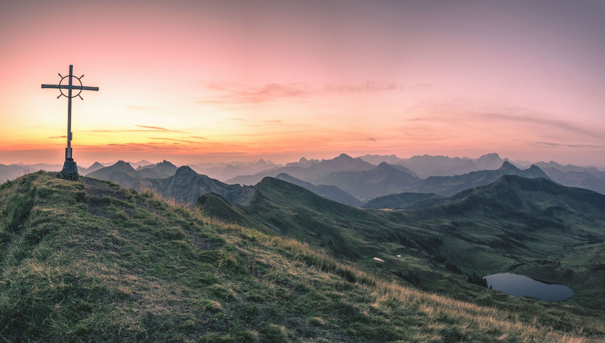
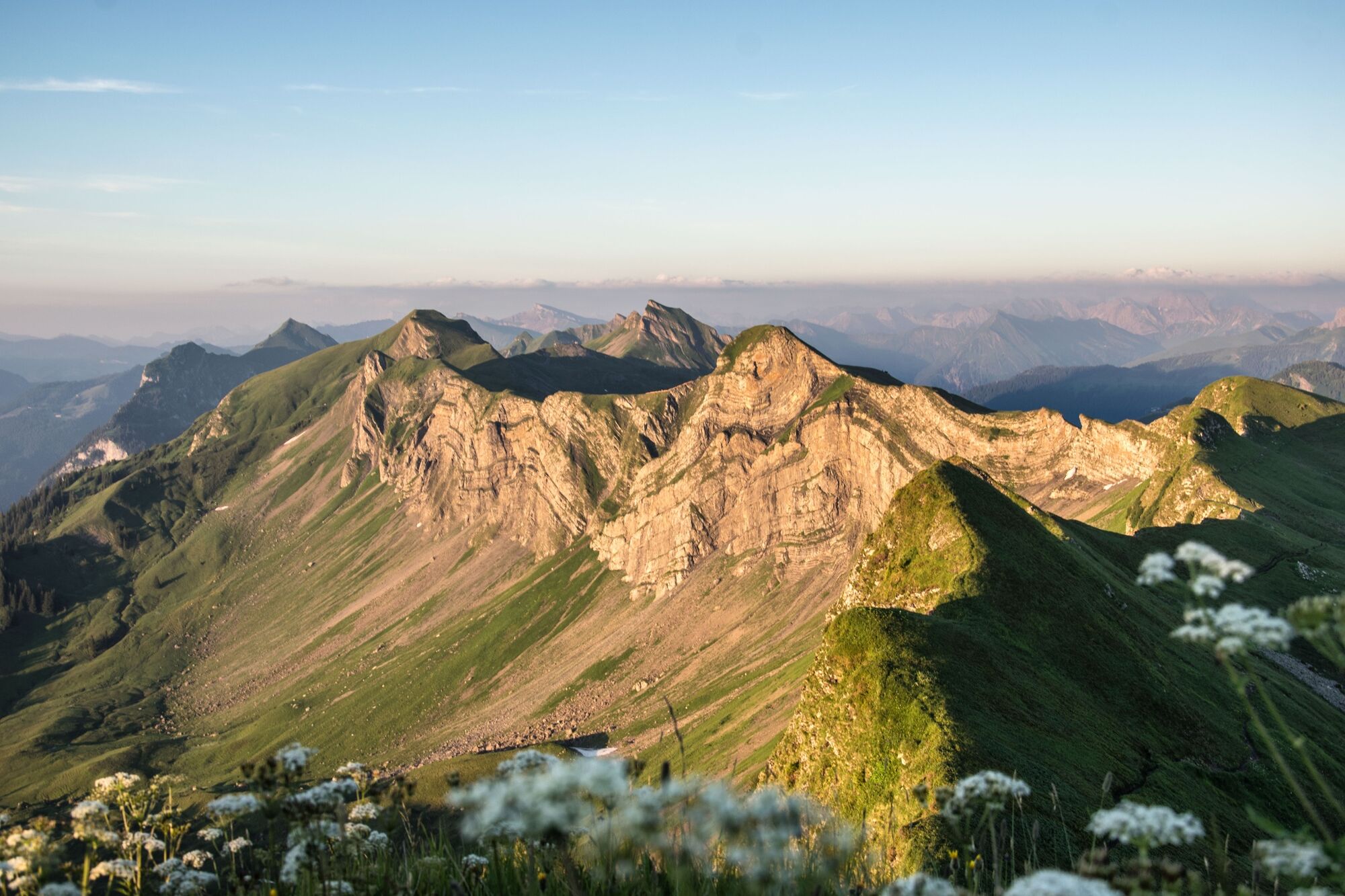
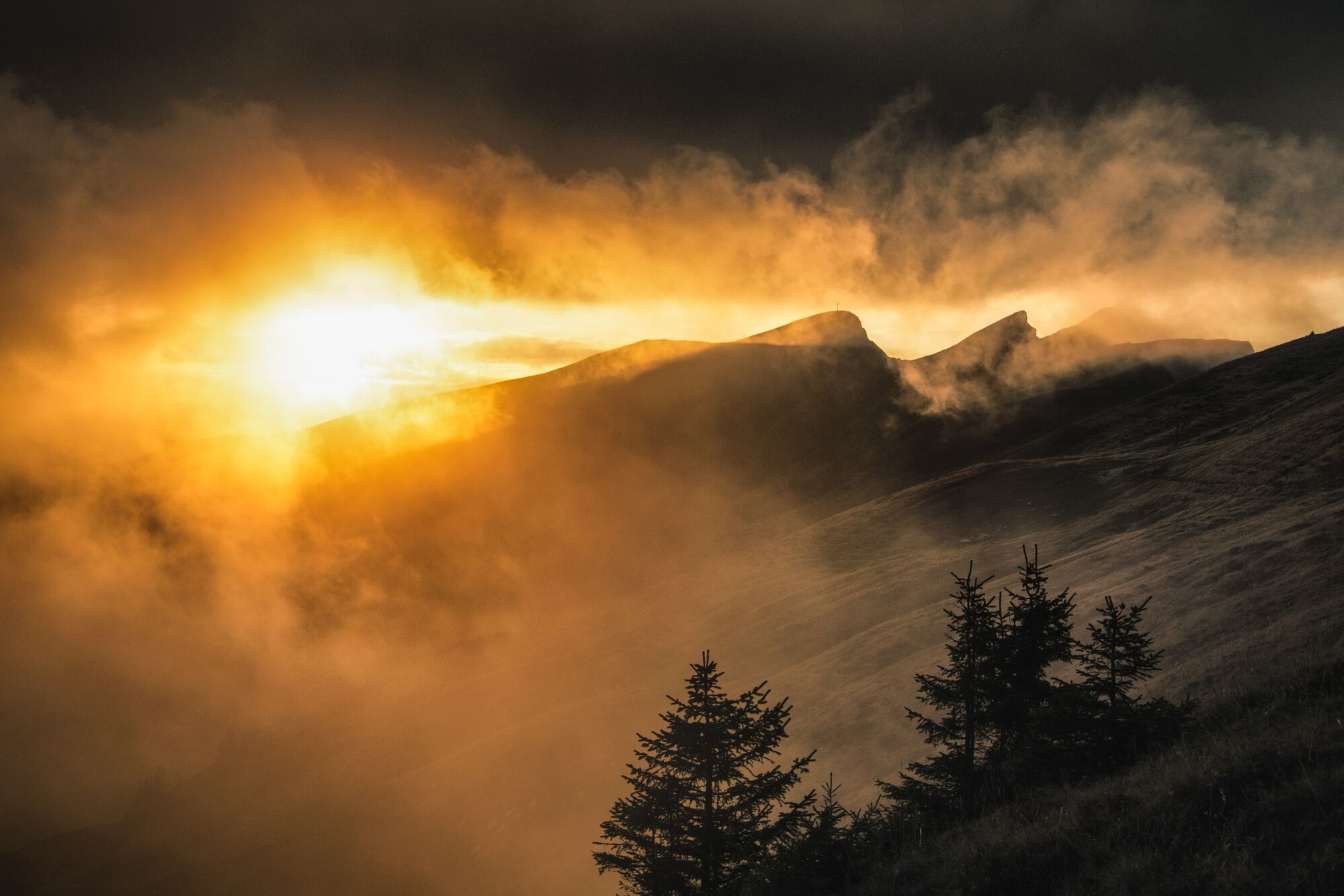
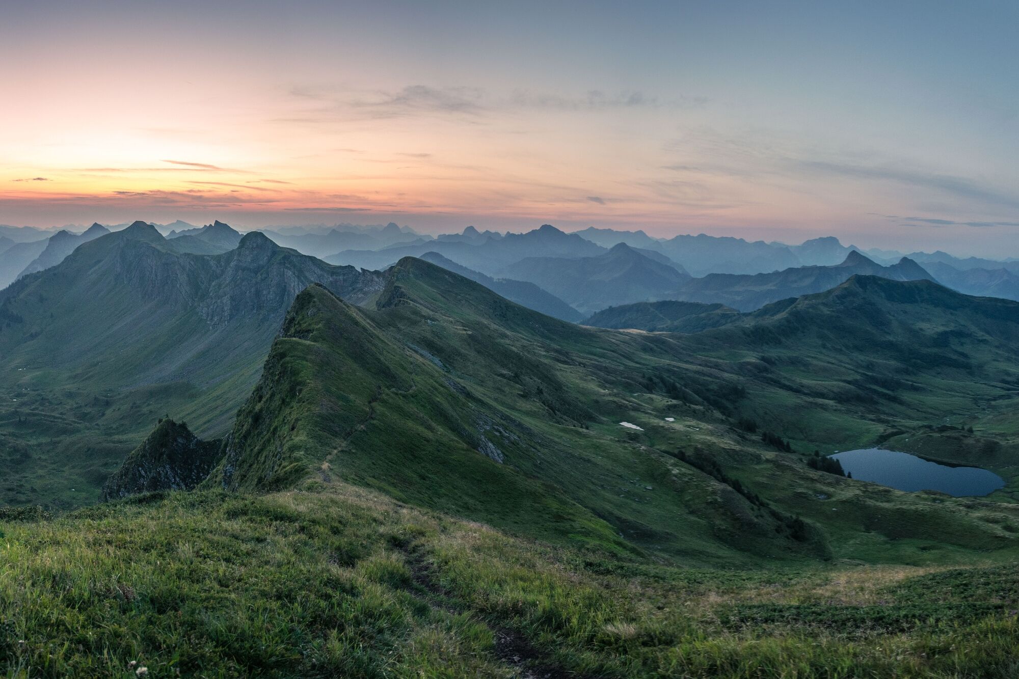
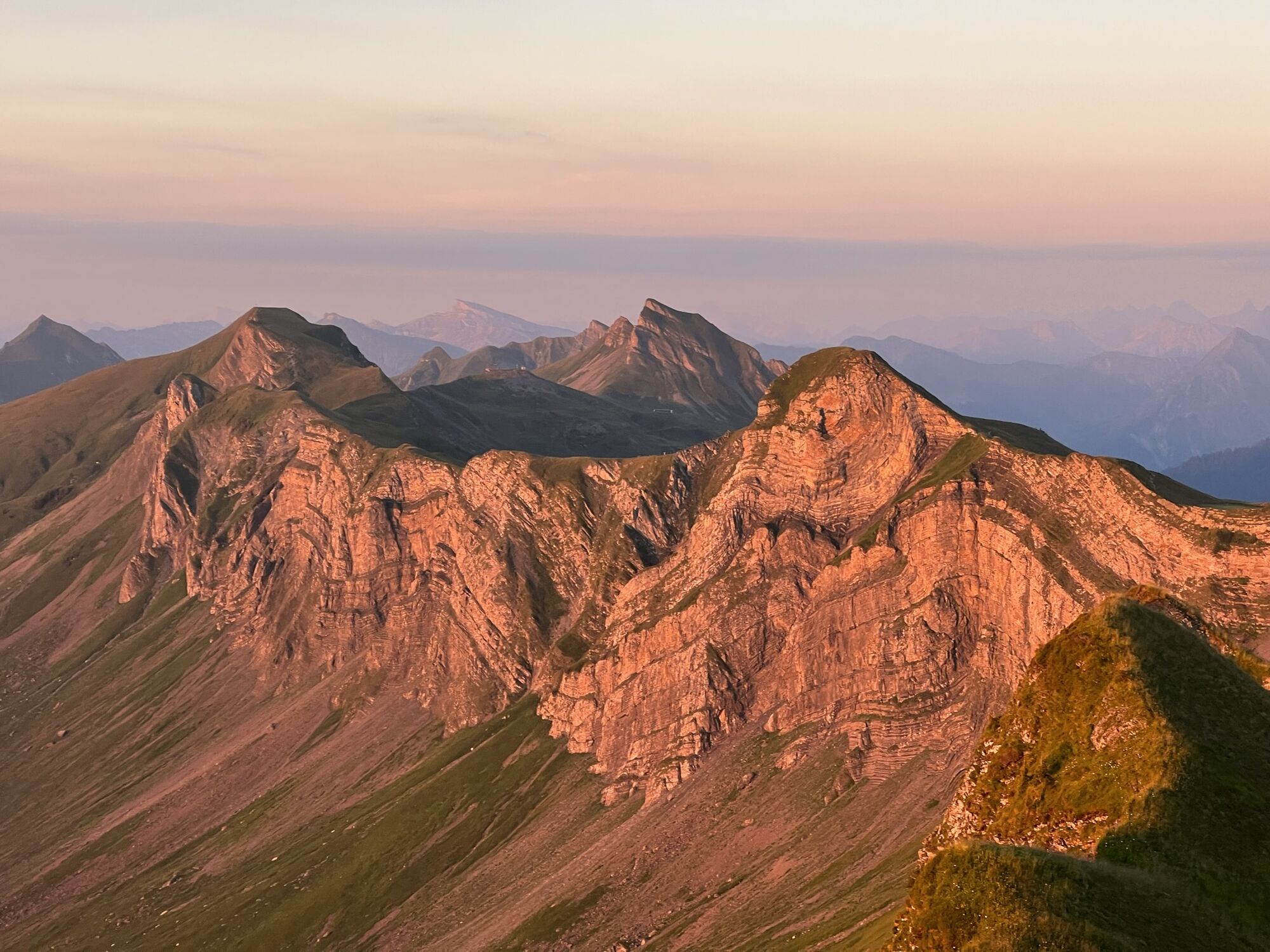
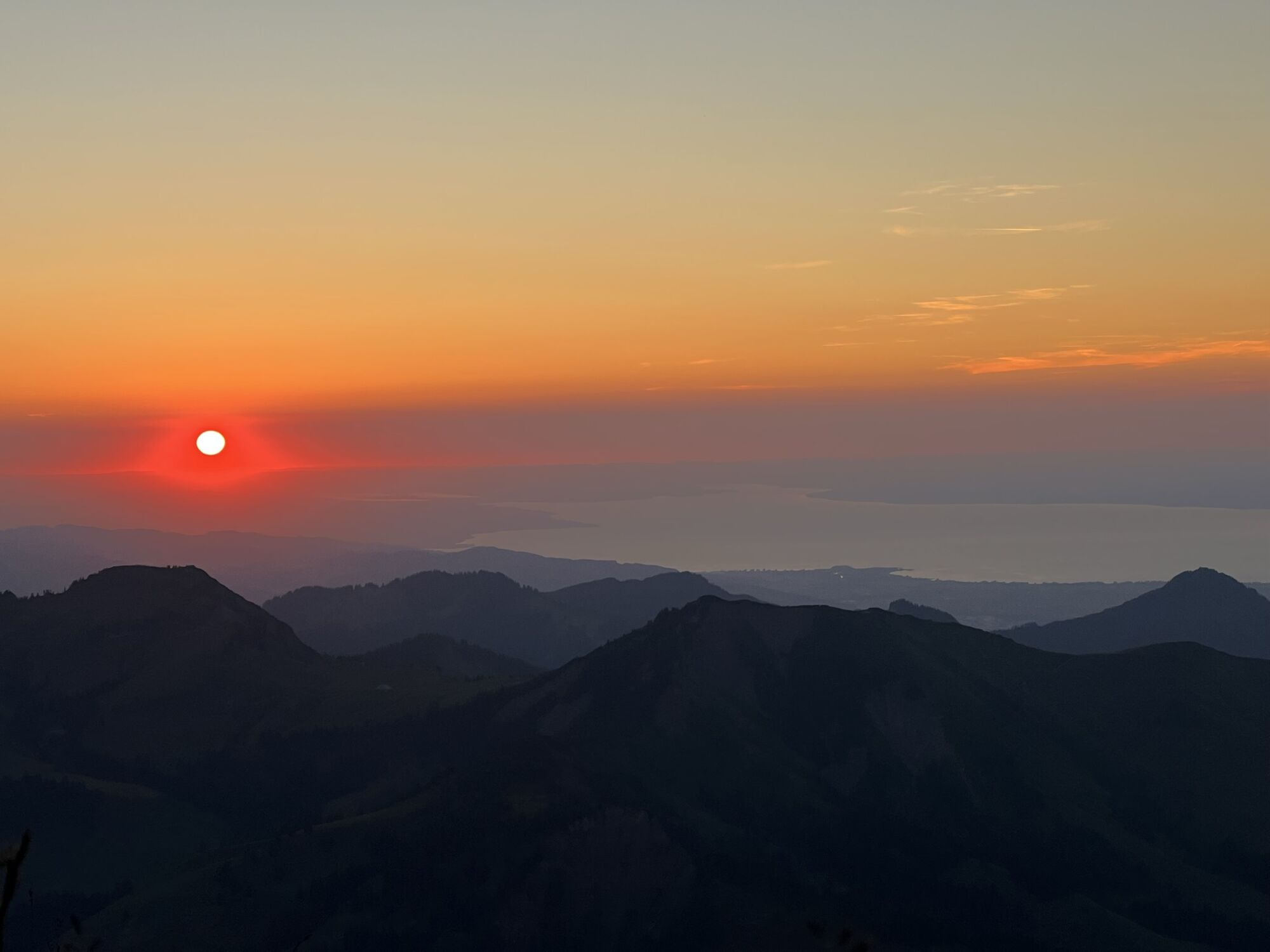
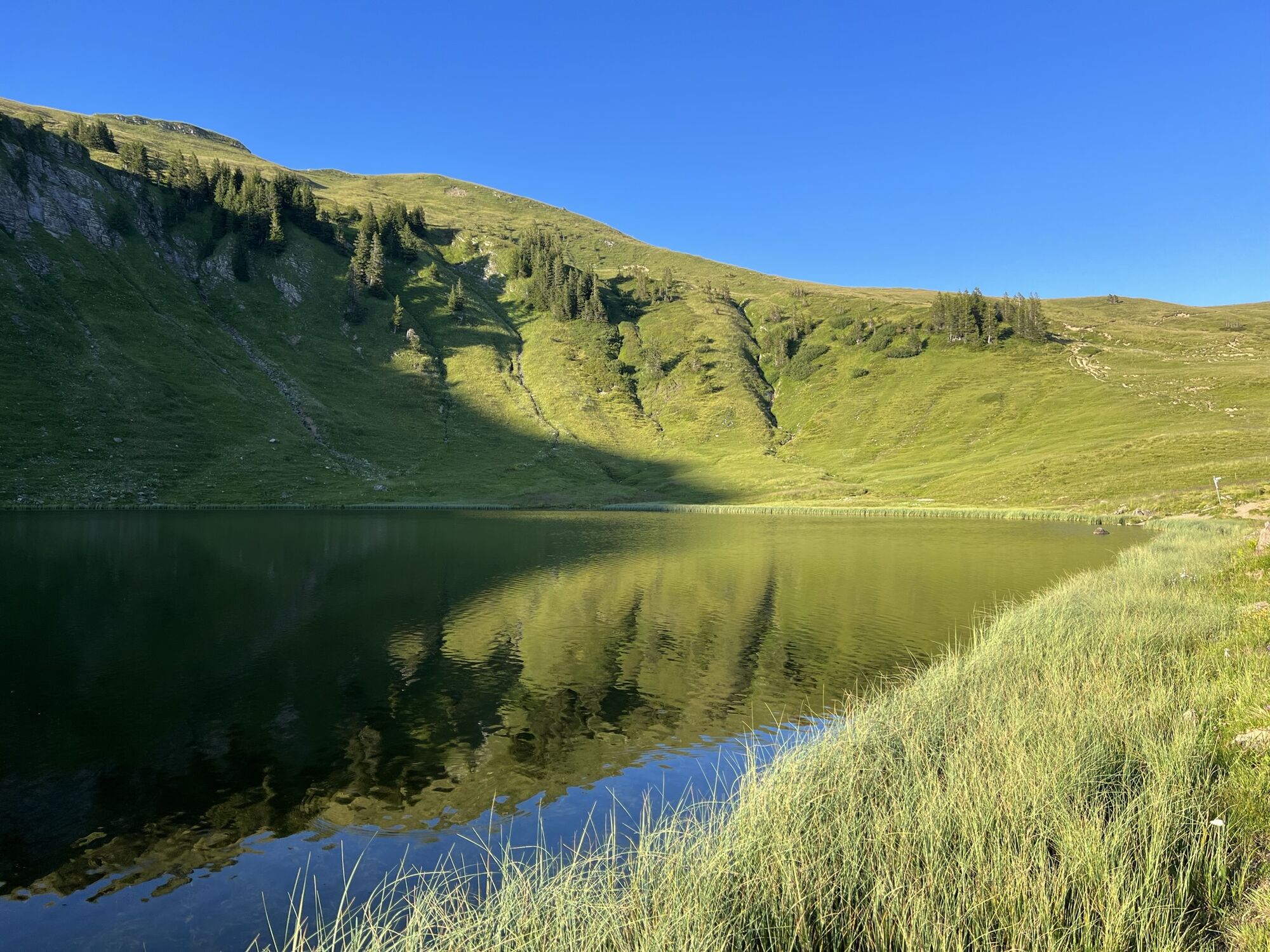
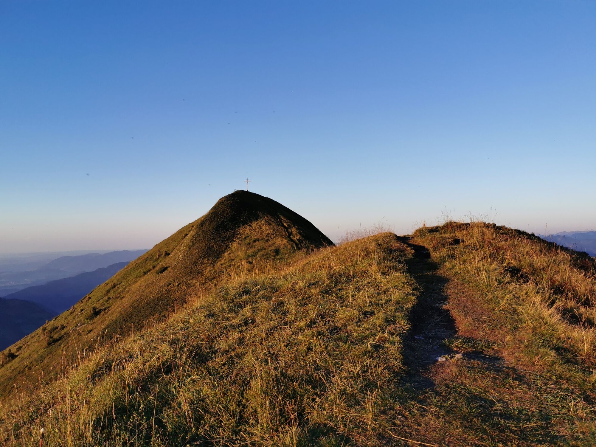
Far behind, high above the Mellental, it rages, the Sünserspitze. The scenically impressive hike starts at the car park on Furkastrasse. Via the Alpe Portla and the Sünsalpe you reach the idyllically situated Sünsersee. Continue to the Sünserspitze, from which you have a wonderful view of the surrounding mountains. The hike is ideal for sunrises and sunsets.
- Difficulty
-
difficult
- Rating
-
- Starting point
-
parking lot Furkastraße
- Route
-
Alpe Portla0.5 kmSünser Spitze (2,061 m)4.5 kmAlpe Portla8.5 km
- Best season
-
JanFebMarAprMayJunJulAugSepOctNovDec
- Description
-
The impressive sunrise or sunset hike starts at the parking lot on Furkastrasse. Via the Alpe Portla and the Sünsalpe you reach the idyllically situated Sünsersee. Continue to the Sünserspitze, from which you have a wonderful view of the surrounding mountains.
- Directions
-
The parking lot that offers itself as a starting point is located approx. 300 m from the Furkajoch in the direction of Damüls on the Furkastraße. From here, Alpe Portla is already visible on the opposite slope. It goes past this first up to the Portlafürkele. Here the path splits and you get to the idyllically situated Sünsersee. On a meadow path it goes steeply up until the path forks. Here you turn left, first crossing magnificent mountain meadow slopes on an almost level path before a last, unproblematic climb leads to the Sünserspitze.
- Highest point
- 2,054 m
- Endpoint
-
parking lot Furkastraße
- Height profile
-

- Equipment
-
Warm mountain clothing in layers and a change of clothes
Waterproof mountain or hiking shoes with a non-slip sole
Sleeping mat, seat cushion as isolation from the ground
Bivouac sack (also for unplanned overnight stays)
hat and gloves
Headlamp with a good and wide beam of light
sunglasses and sunscreen
Snack and (warm) drinks
Information about the weather conditions
Orientation aids such as map, altimeter - Safety instructions
-
EMERGENCY CALL:
140 alpine emergencies throughout Austria
144 Alpine emergencies Vorarlberg
112 Euro emergency call (works with any mobile phone/network)
https://www.vorarlberg.travel/en/safety-tips-on-the-mountain/
Choosing the exact time: So that you don't arrive too late at the summit, you should choose the exact time of sunrise or sunset.
Observe the weather: Of course, the weather should be very nice and stable at sunrise or sunset. Safety first!


-

-
AuthorThe tour Damüls Faschina | Sunrise and sunset hike to the Sünserspitze is used by outdooractive.com provided.


General info
-
St. Gallen - Bodensee
2065
-
Biosphärenpark Großes Walsertal
2006
-
Damüls
576


