
- Brief description
-
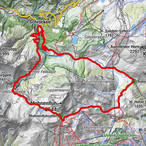
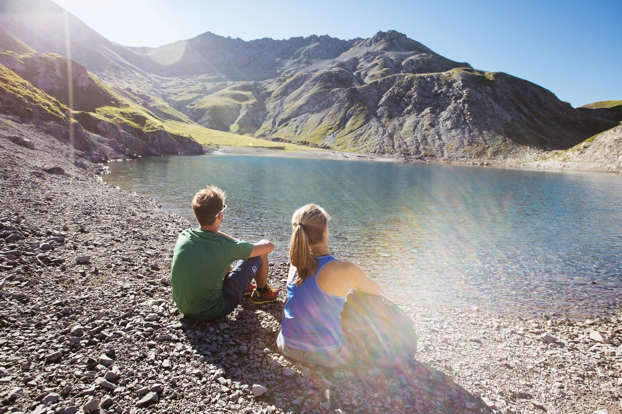
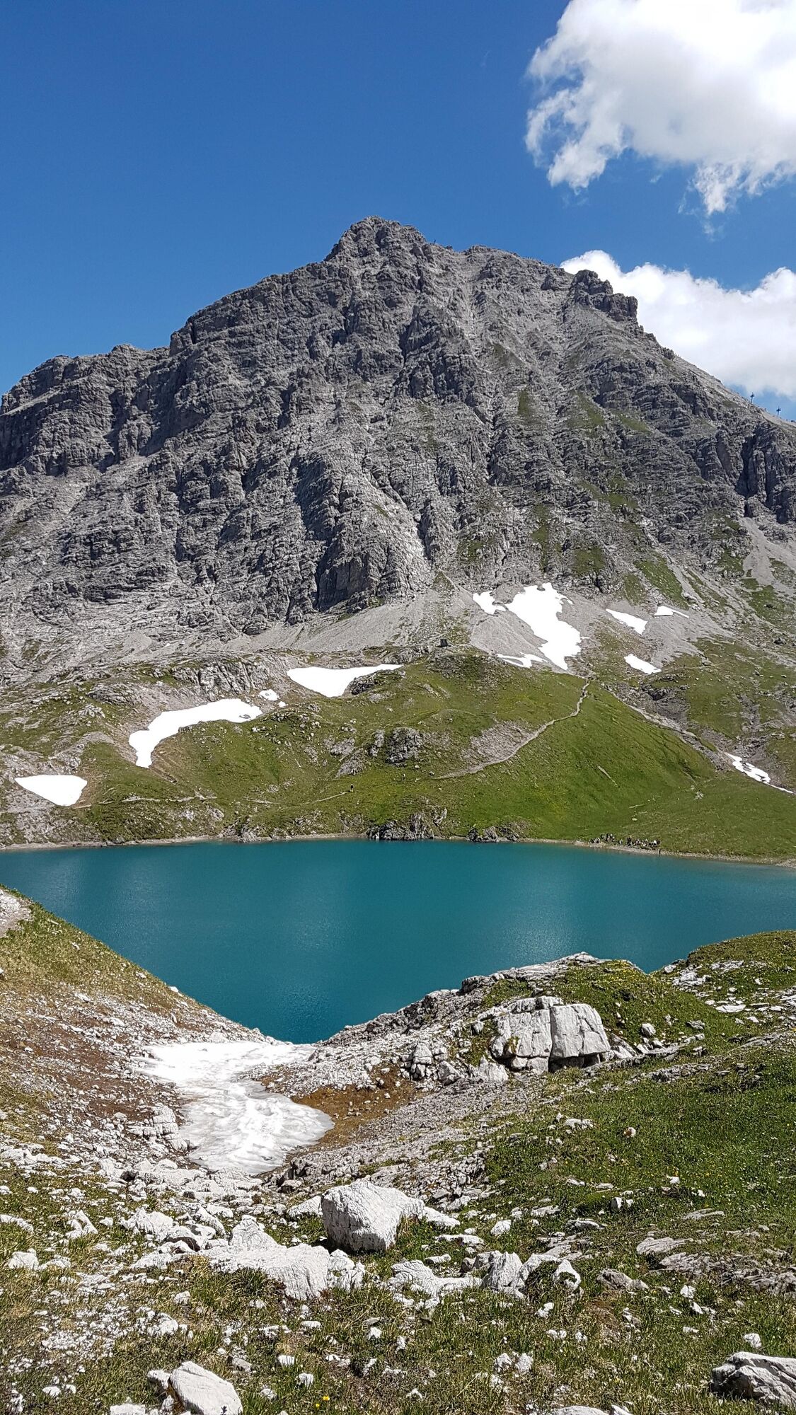
The path starts right from the Hotel Mohnenfluh and takes you along the road through the gorge of the Bregenzerache to the Alpe Felle. After 300 m the narrow path on the right side climb the serpentines. Continue to the rear Fellealpe and to the right climb steeper and steeper to the waterfalls. Now, to the left below the high glacier, follow the serpentines to the entrance of the Jägersteig. With the help of the safety rope you cross the Jägersteig through the first gorge and then through the partly wet-slippery gutter. They run between the cushioned plants covered rocks in increasingly scarce landscape. Along the trail you reach the picturesque Butzensee, which you pass and take the climb to Mohnenfluhsattel. At Mohnenfluhsattel you follow the path to the Gaisbühelalpe. Turn left through Auenfeld to Alpe Batzen and over the road to Schröcken.
- Difficulty
-
difficult
- Rating
-
- Starting point
-
Schröcken village square
- Route
-
Schröcken (1,269 m)Untere Auenfeldalpe10.8 kmMaterialseilbahn Körbersee15.4 kmSchröcken (1,269 m)15.5 km
- Best season
-
JanFebMarAprMayJunJulAugSepOctNovDec
- Description
-
Touring.
Hotel Mohnenfluh - Alpe Felle - Fellealpe - Jägersteig - Butzensee - Mohnenfluhsattel - Gaisbühelalpe - Auenfeld - Alpe Batzen - Schröcken
- Directions
-
Touring.
Hotel Mohnenfluh - Alpe Felle - Fellealpe - Jägersteig - Butzensee - Mohnenfluhsattel - Gaisbühelalpe - Auenfeld - Alpe Batzen - Schröcken
- Highest point
- 2,301 m
- Endpoint
-
Schröcken village square
- Height profile
-

- Equipment
-
This should never be missing on the mountain.
Backpack, First-Aid Set incl. Bladder plaster, telephone with emergency number, cash, drinking bottle, pocket knife, provisions, sun protection in good weather.
- Safety instructions
-
Emergency numbers.
140 - Alpine emergencies throughout Austria
144 - Alpine emergencies in Vorarlberg
112 - Euro emergency call
- Additional information
- Directions
- Public transportation
- Parking
- Author
-
The tour Butzensee round trail is used by outdooractive.com provided.