


- Brief description
-
A nice hike at the foot of the Kanisfluh from Schnepfau to Hirschau and over the Schnepfegg return to Schnepfau.
- Difficulty
-
easy
- Rating
-
- Starting point
-
Village center Schnepfau
- Route
-
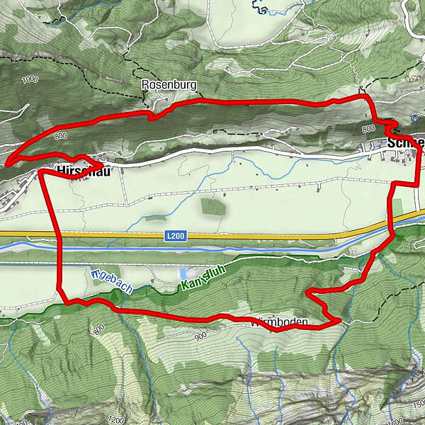
Pfarrkirche SchnepfauSchnepfau0.0 kmWirmboden2.0 kmLourdeskapelle4.4 kmKapelle Hl. Martin4.4 kmHirschau4.5 kmRosenburg6.5 kmPfarrkirche Schnepfau8.3 kmSchnepfau8.3 km
- Best season
-
JanFebMarAprMayJunJulAugSepOctNovDec
- Description
-
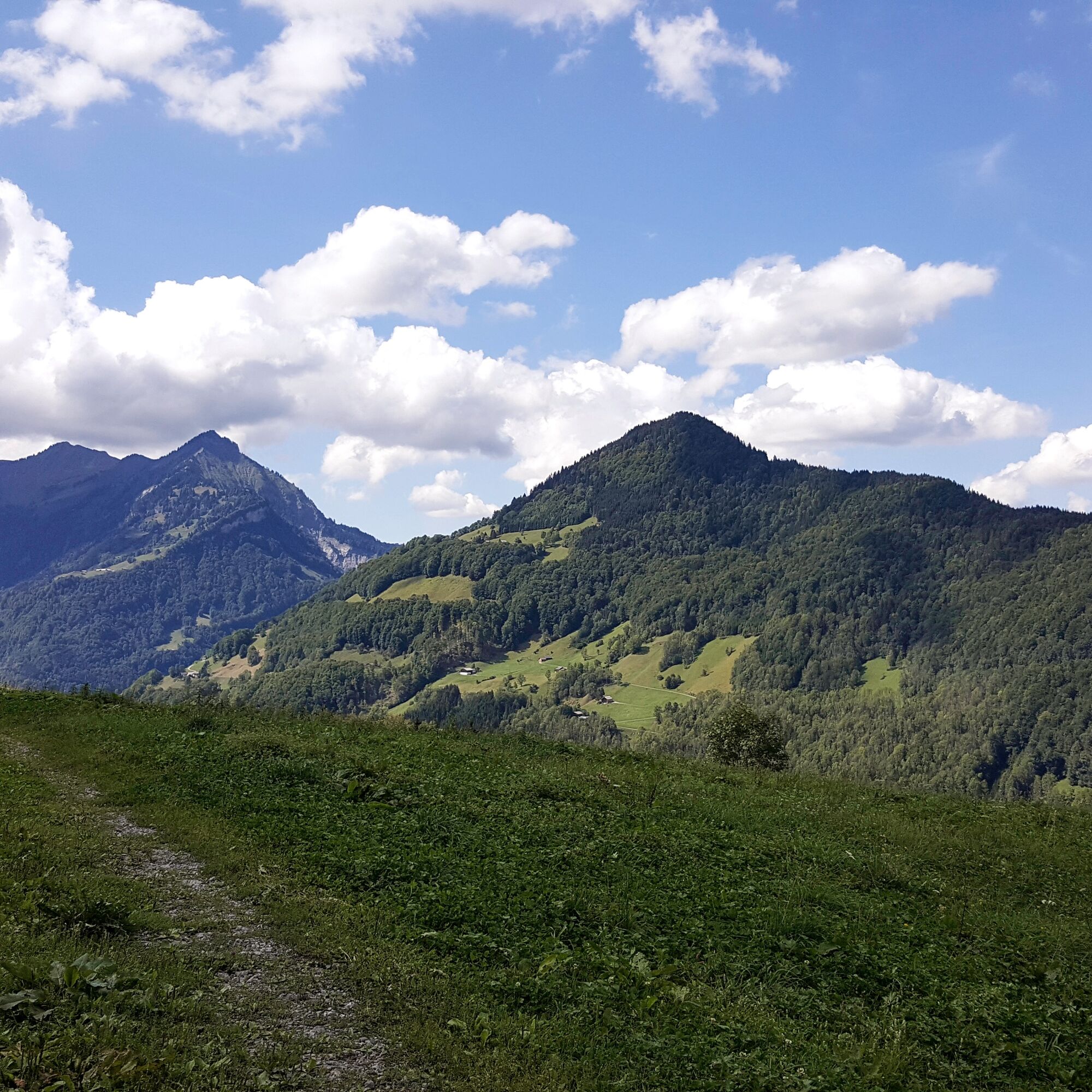
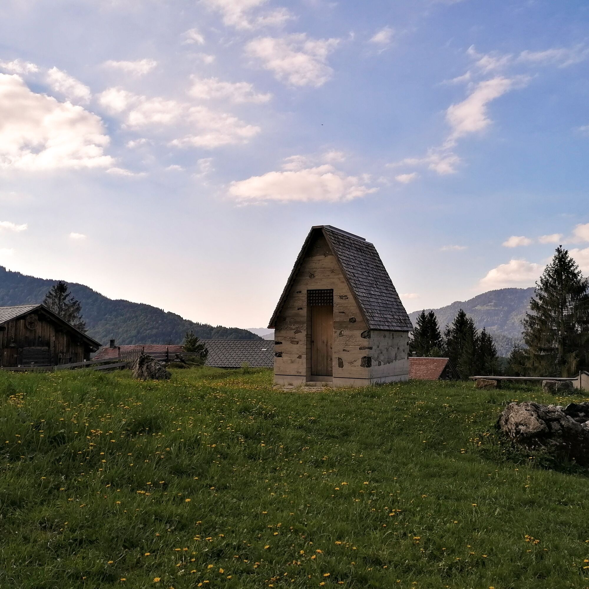
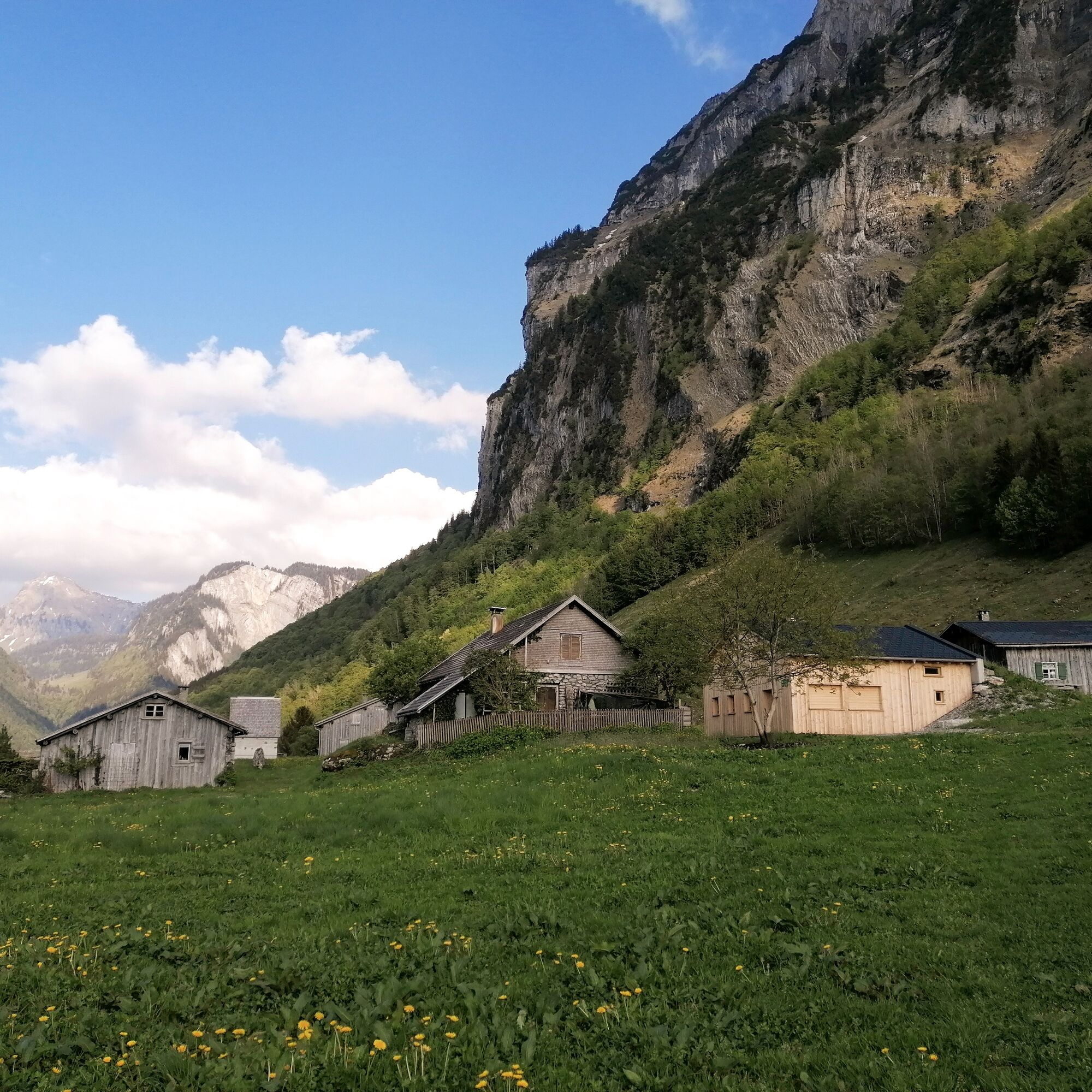
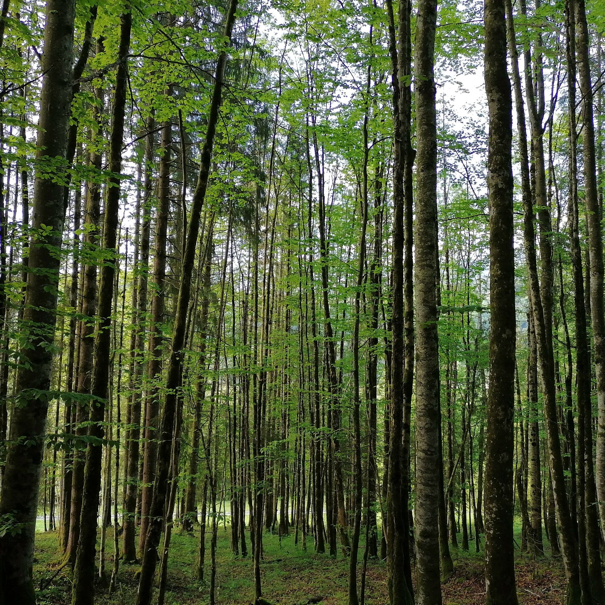
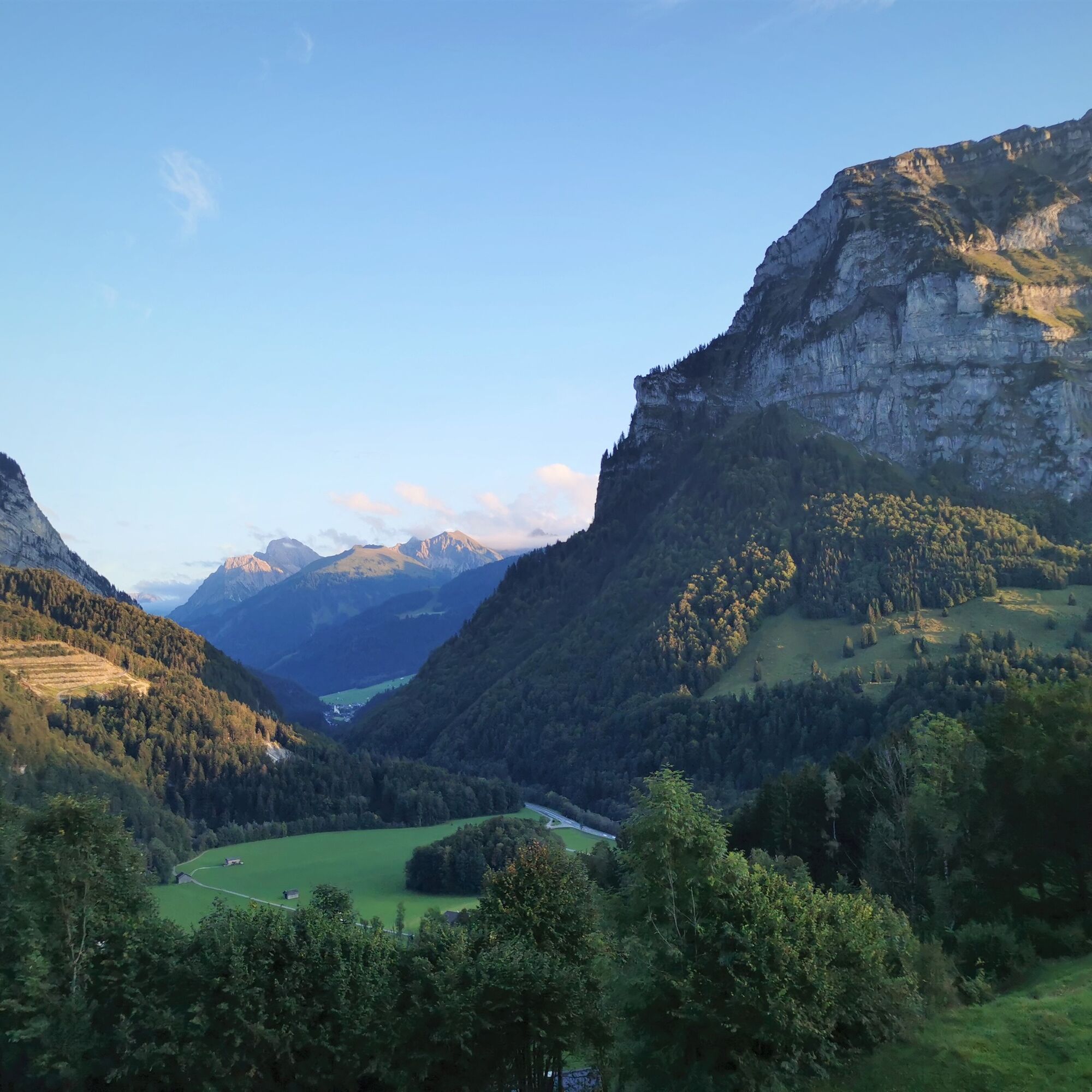
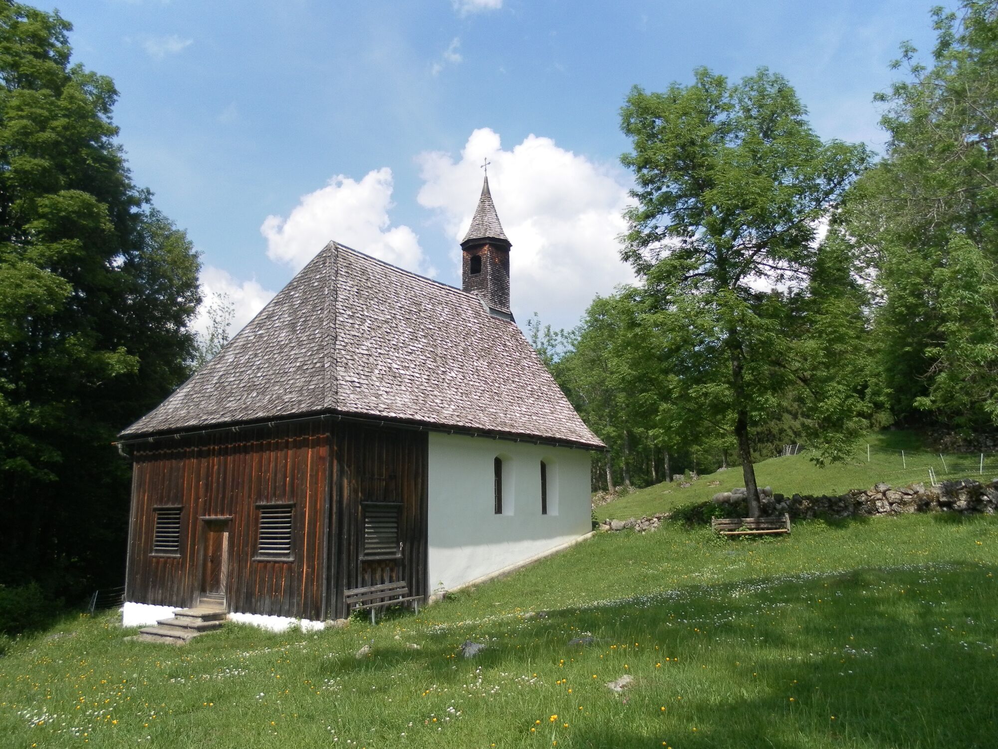
At the foot of the steep north face of the Kanisfluh is the alpine pasture settlement of Wirmboden with its chapel, located on a plain. You cross the Bregenzerach on the way to Hirschau. Here, you start the ascent to the tree-covered Sonnenhang with the highest points of Rosenburg and Schnepfegg (its chapel is worth avisit). You return to Schnepfau via a footpath.
- Directions
-
At the foot of the steep north face of the Kanisfluh is the alpine pasture settlement of Wirmboden with its chapel, located on a plain. You cross the Bregenzerach on the way to Hirschau. Here, you start the ascent to the tree-covered Sonnenhang with the highest points of Rosenburg and Schnepfegg (its chapel is worth avisit). You return to Schnepfau via a footpath.
- Highest point
- 933 m
- Endpoint
-
Village center Schnepfau
- Height profile
-

- Equipment
-
waterproof footwear
good outdoor clothing worn in layers
a functional top to change in to
sunglasses and sun cream
take plenty of drinks with you: it is also important to drink even if you are not thirsty - Safety instructions
- Author
-
The tour Schnepfau | Schnepfau - Hirschau - Schnepfegg - Schnepfau is used by outdooractive.com provided.


General info
-
Bregenzerwald
2295
-
Bizau
627


