


- Brief description
-
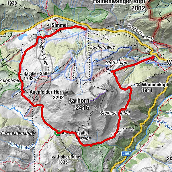
Etappen
Hochkrumbach - Warth - Bergstation Steffisalp-Express - Wannensee - Bürstegg - Karbühel - Auenfeld - Salober - Hochkrumbach
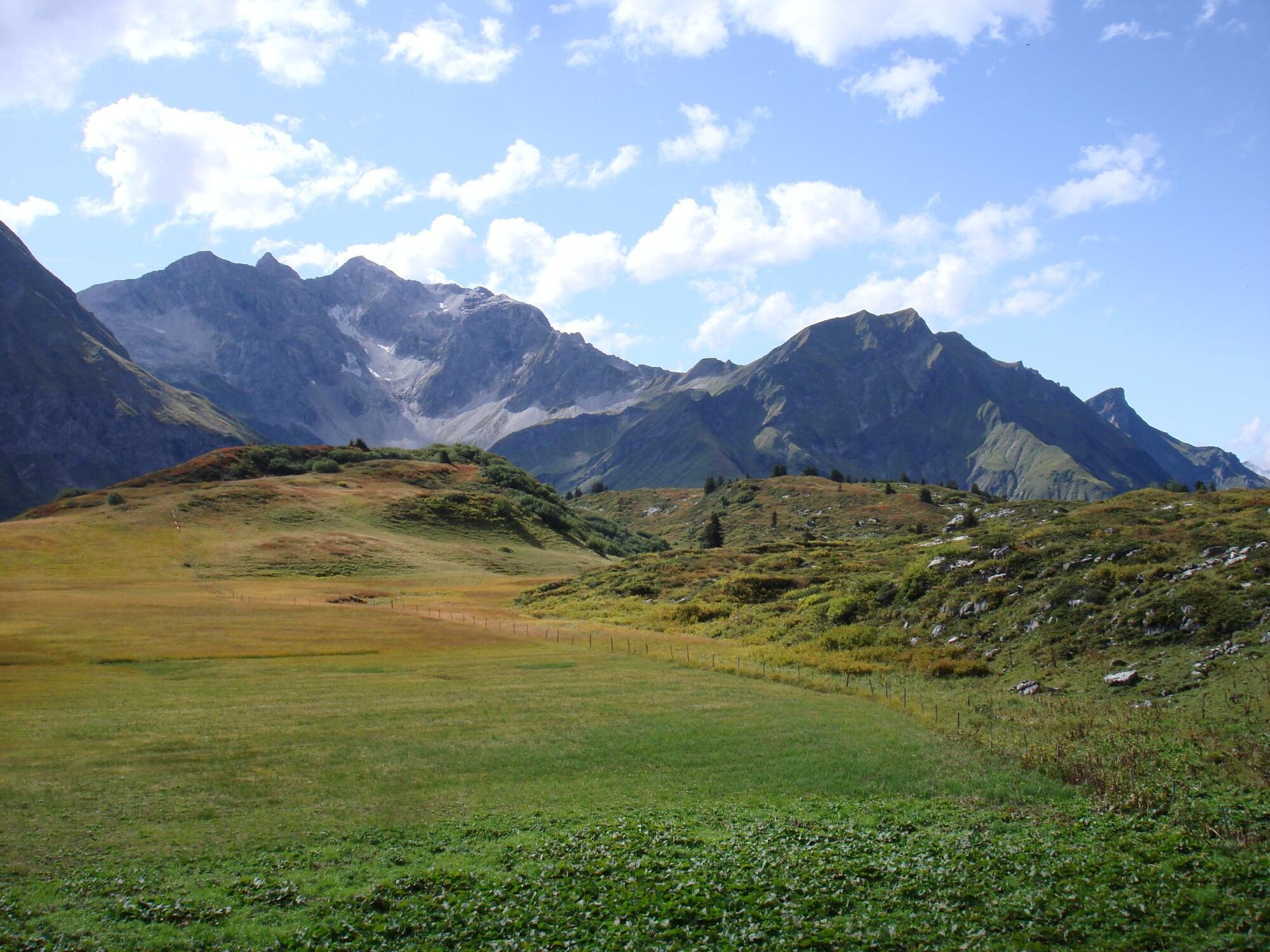
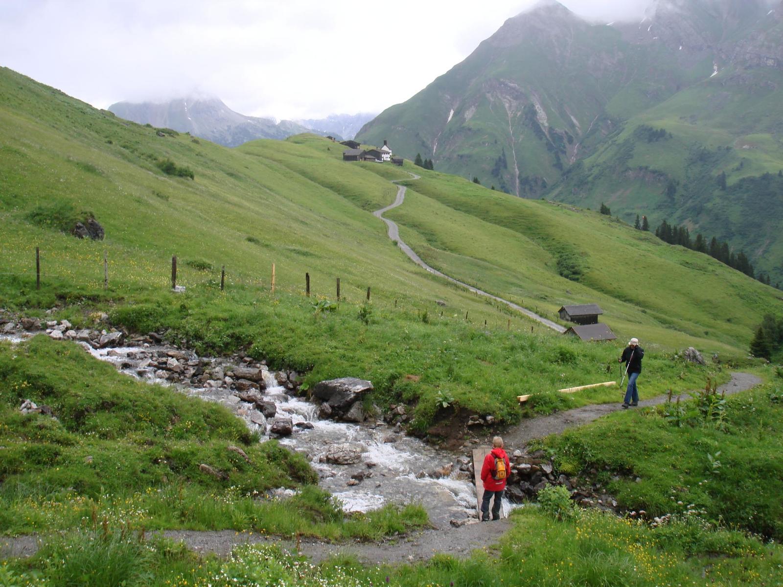
Charakteristik
Familienfreundliche Tagestour, bei Benützung des Steffisalp-Express ohne große Höhenunterschiede.
- Route
-
Steffisalp-Express0.9 kmGspa2.6 kmBürstegger Kirchle4.3 kmMaterialseilbahn Bürstegg4.3 kmJausenstation Bürstegg4.3 kmBürstegg4.3 kmKarbühel (1,840 m)5.5 kmKarbühel6.2 kmAuenfelder Hütte8.1 kmSalober-Sattel (1,792 m)9.1 kmS110.4 kmSB-Restaurant Salober10.5 kmSalober-Jet10.6 kmKuchlbahn10.7 kmHochkrumbach11.8 kmJägeralpe12.0 km
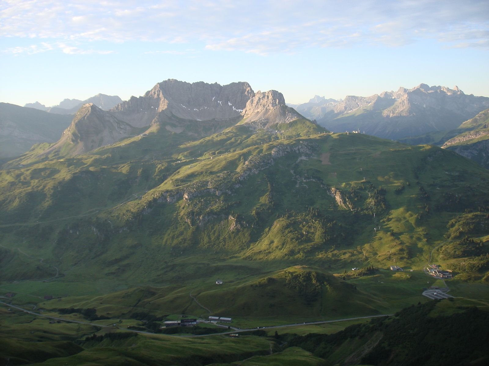
- Highest point
- 1,942 m
- Height profile
-

- Author
-
The tour Karhornrundweg is used by outdooractive.com provided.
GPS Downloads


Other tours in the regions


