© Montafon Tourismus GmbH_Patrick Säly - Roland Fritsch

© Bartholomäberg Tourismus_Rochau - Roland Fritsch

© Montafon Tourismus GmbH_Christina Wachter - Christina Wachter

© Montafon Tourismus GmbH_Christina Wachter - Christina Wachter

© Ruth Sander - Roland Fritsch

© Bartholomäberg Tourismus_Rochau - Roland Fritsch

© Montafon Tourismus GmbH_Christina Wachter - Christina Wachter

© Montafon Tourismus GmbH_Patrick Säly - Roland Fritsch

- Brief description
-
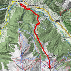
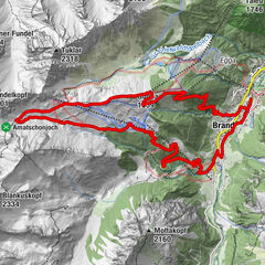
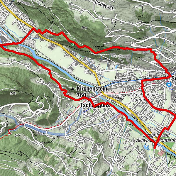
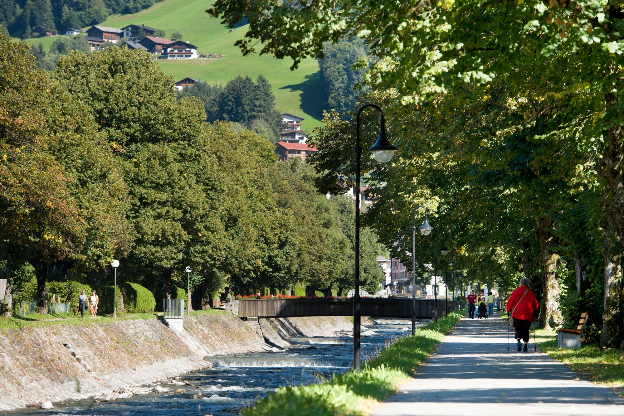
Aktivpark Montafon - Illpromenade - Tschagguns - Nira - Krista - Bahnhof Kaltenbrunnen - Gauserwaldweg - Kloster Gauenstein - Broxweg - Schruns Zentrum - Aktivpark Montafon
- Difficulty
-
difficult
- Rating
-
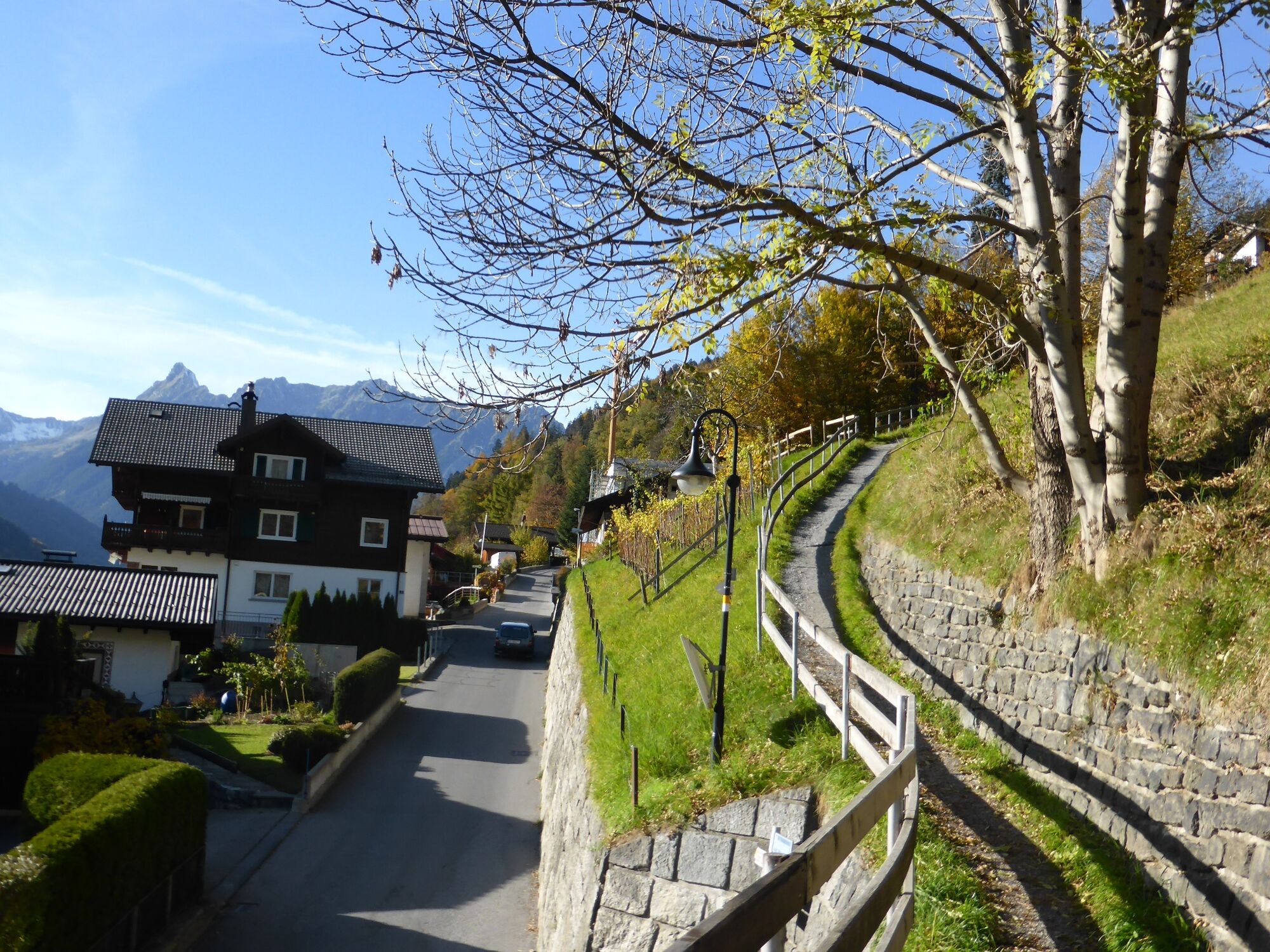
- Route
-
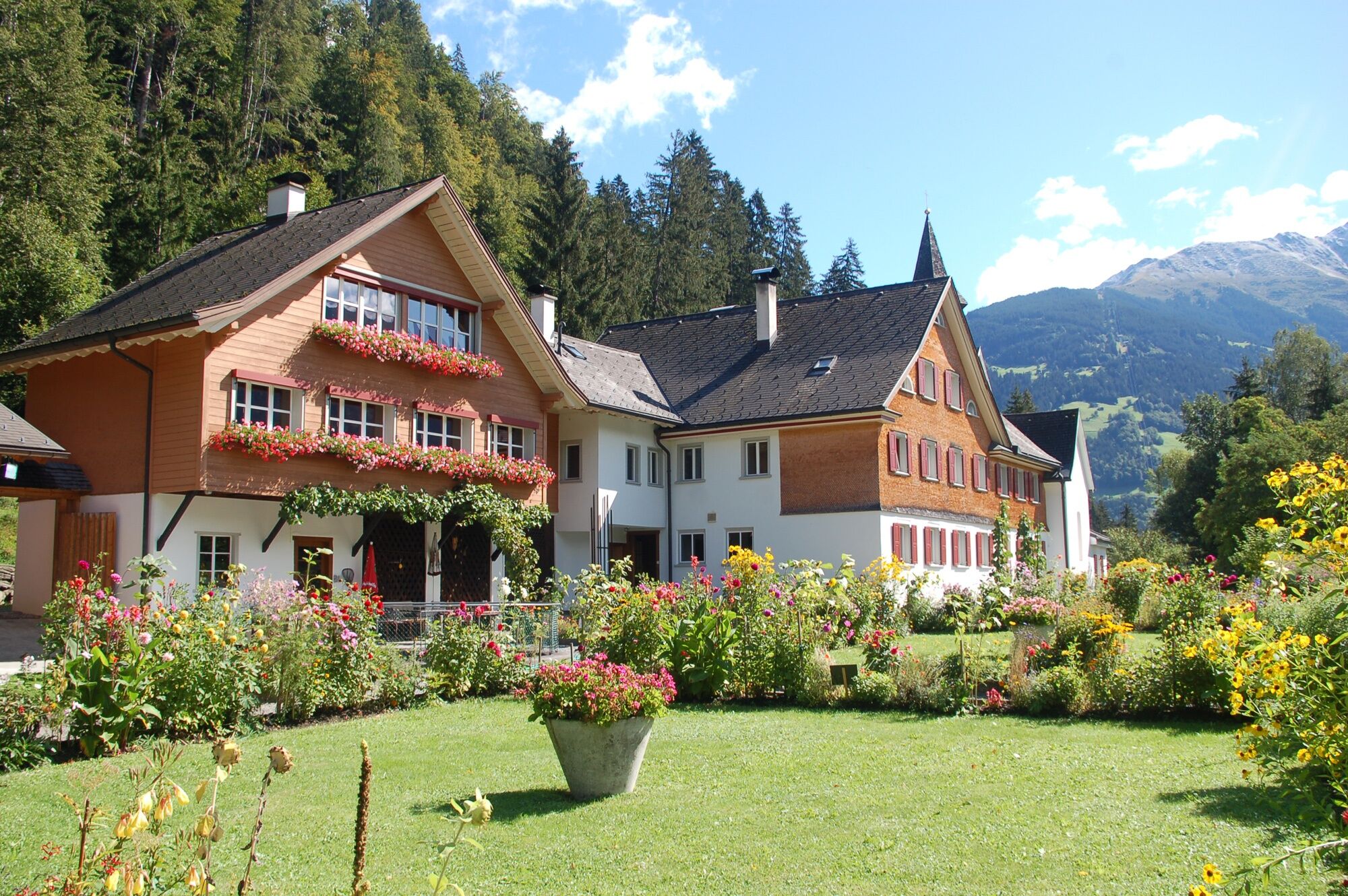
In der Au1.1 kmTschagguns1.2 kmKloster Gauenstein4.9 kmLitzkapelle6.2 kmSchruns6.4 km
- Best season
-
JanFebMarAprMayJunJulAugSepOctNovDec
- Highest point
- 812 m
- Endpoint
-
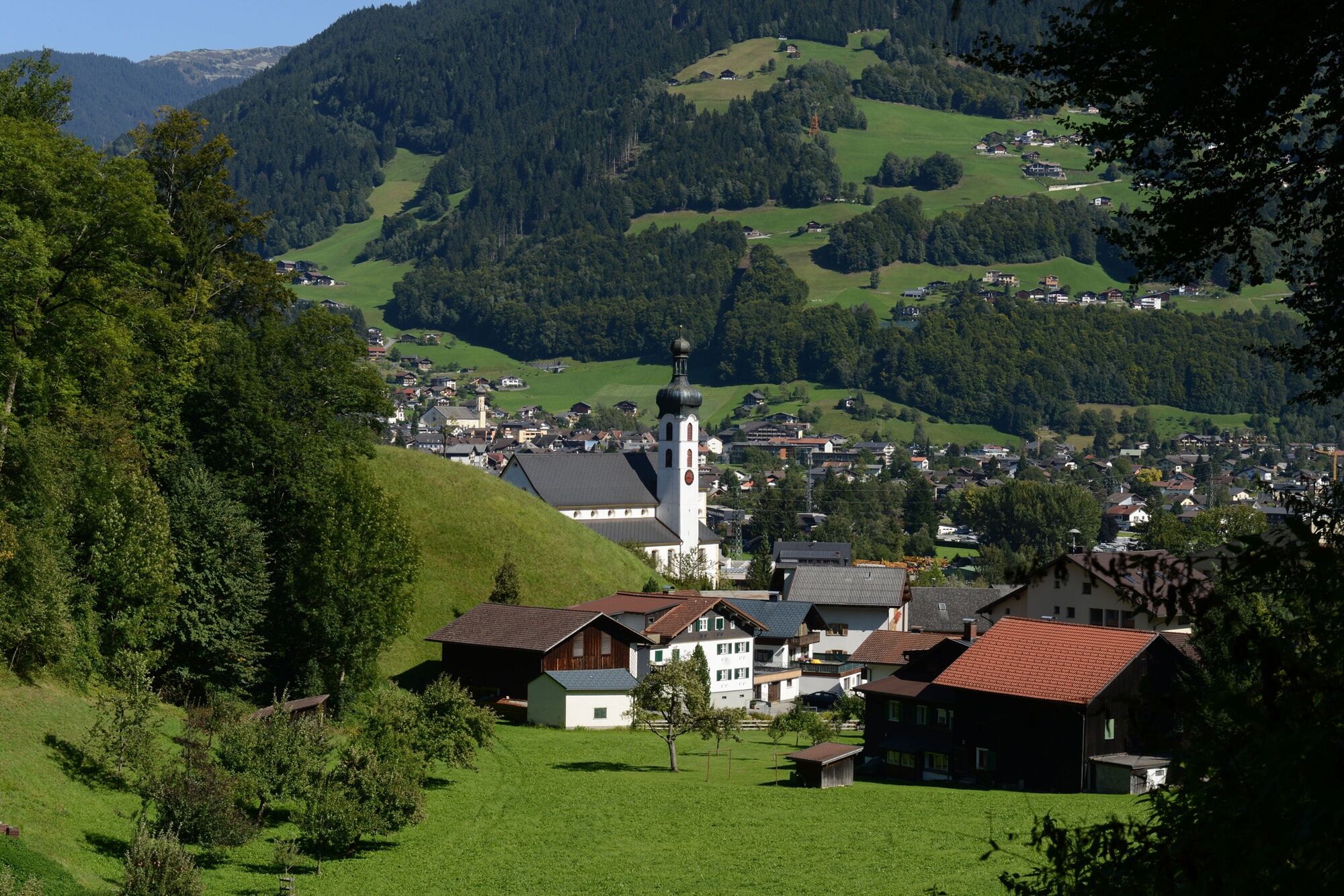
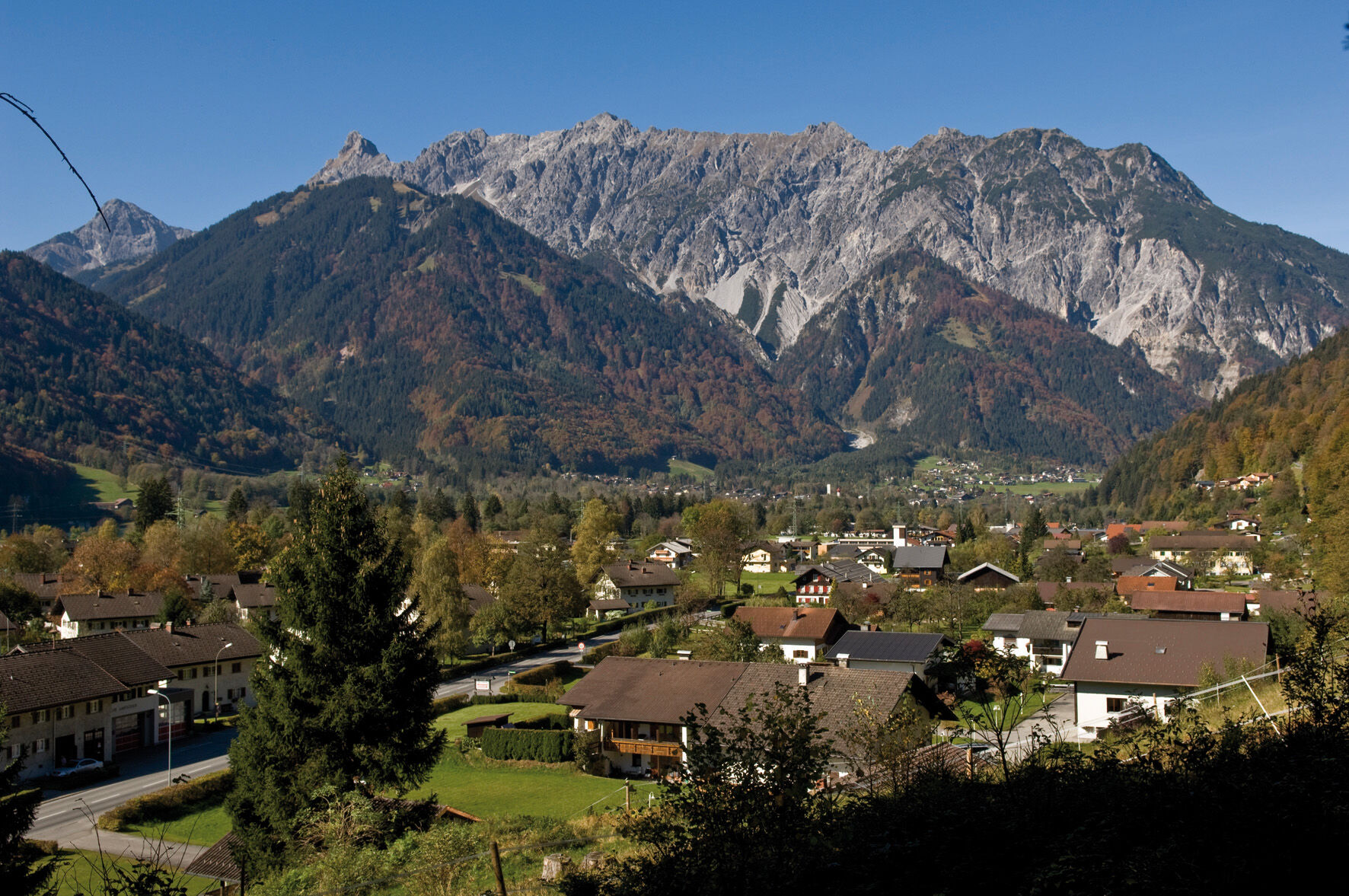
Aktivpark Montafon in Schruns - Tschagguns
- Height profile
-

-

-
AuthorThe tour Gauenstein Walk is used by outdooractive.com provided.
GPS Downloads


General info
Refreshment stop
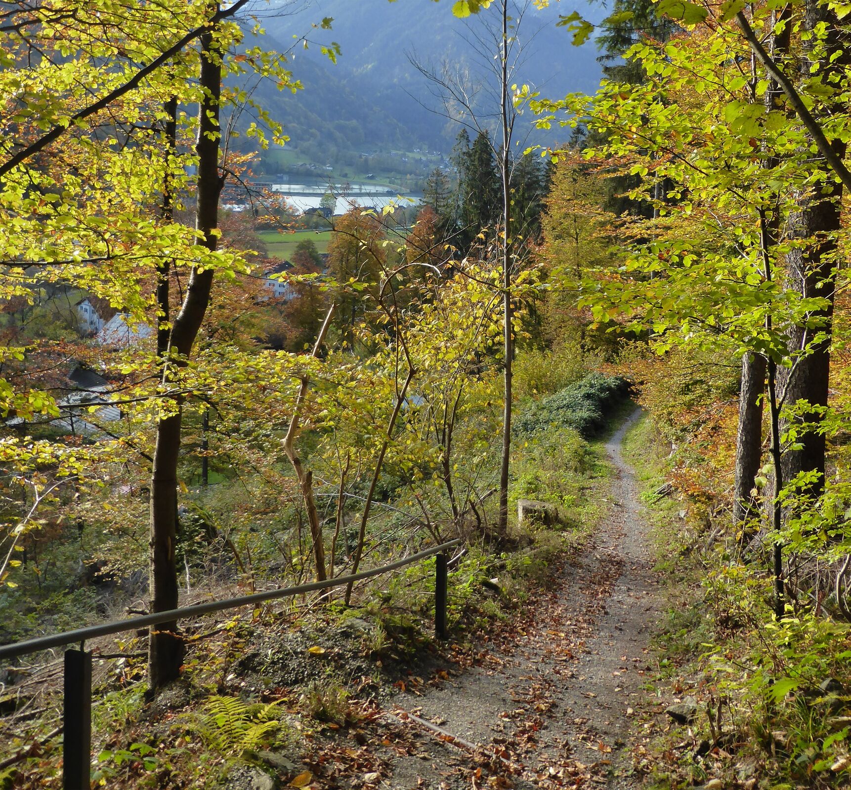
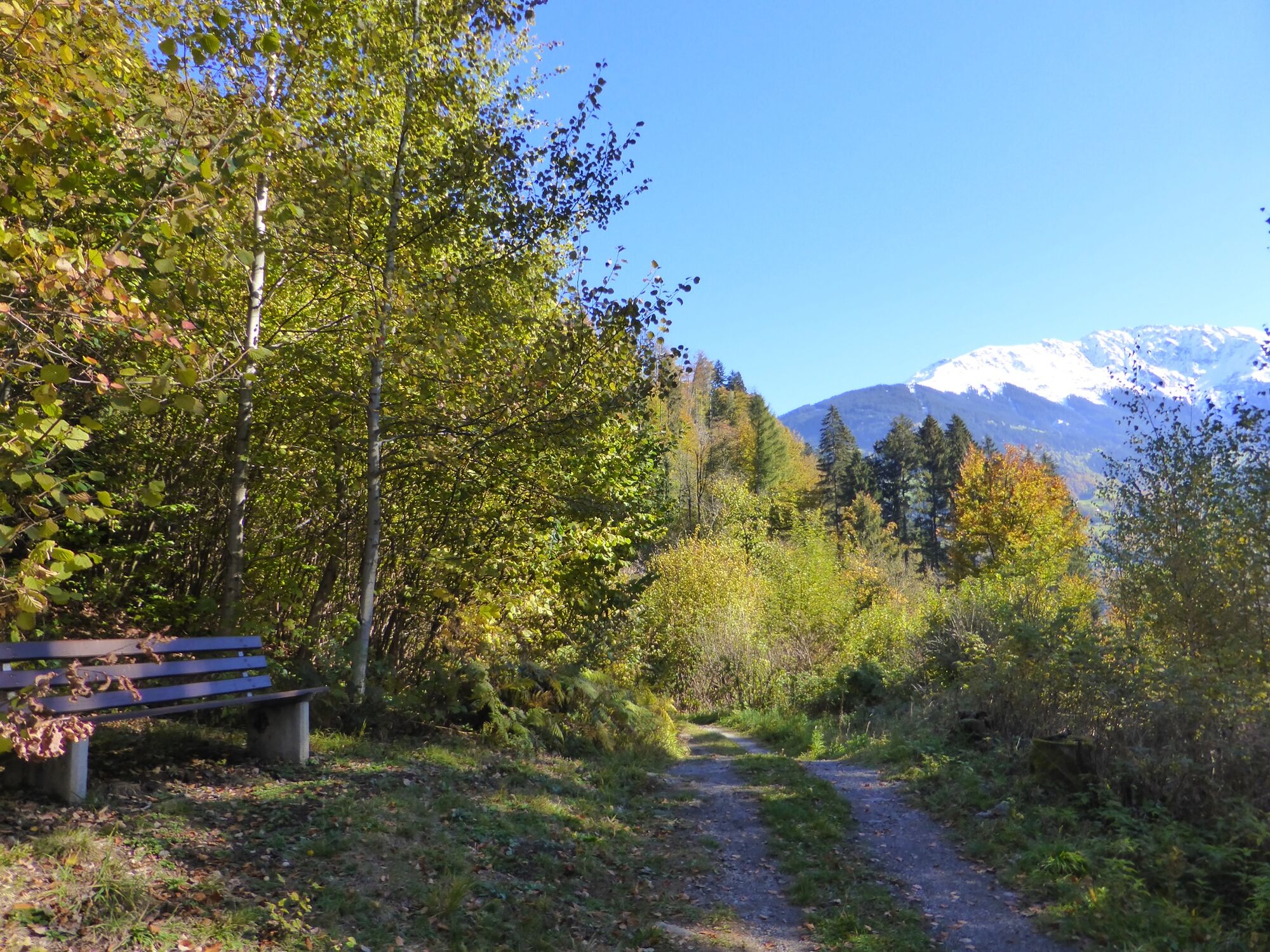
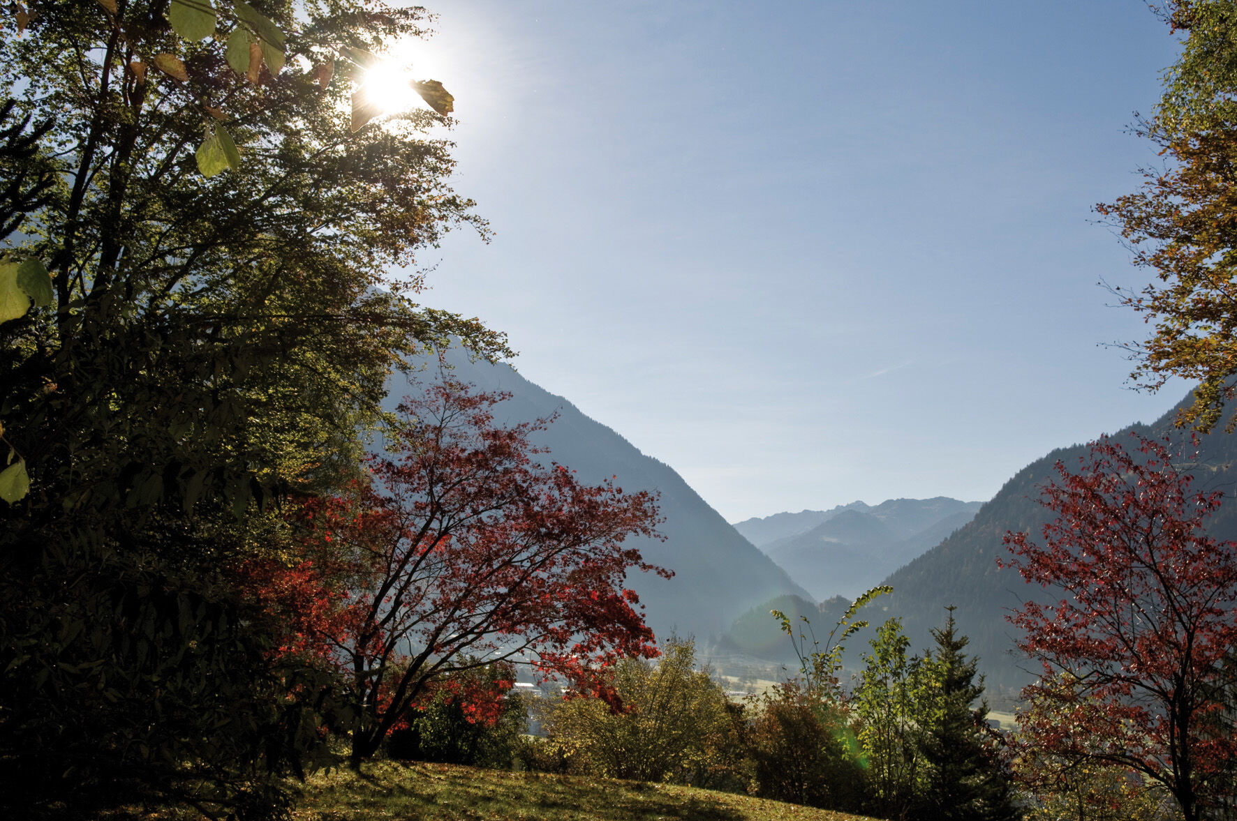
A lot of view
Other tours in the regions
-
Montafon
109
-
Schruns - Tschagguns
38