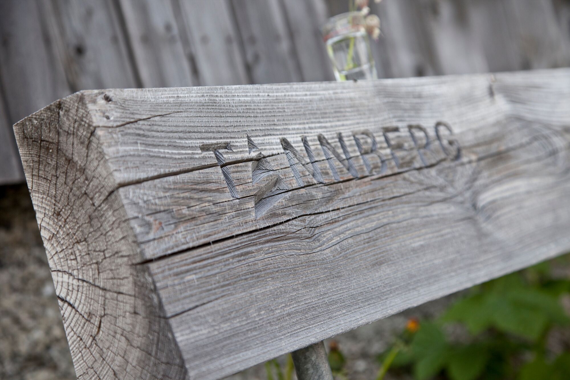
Tannbergweg “On the footsteps of the Walsers at the Tannberg"


- Brief description
-
A thematic journey through the shared history of Warth, Schröcken and Lech. The Tannberg is the summer pendant to the Arlberg and includes the villages Warth, Schröcken and Lech. " On the footsteps of the Walser on the Tannberg" is a themed trail that tells the common story of the Walser settlement in the Swiss canton of Valais. At a total of 57 stations along the route, the trail provides an insight into the life and work of the Walser on the Tannberg.
- Difficulty
-
medium
- Rating
-
- Starting point
-
can be freely selected
- Route
-
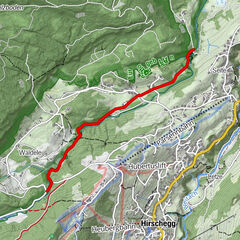
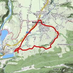
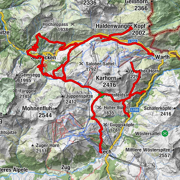
Gspa1.2 kmBürstegg2.7 kmJausenstation Bürstegg5.2 kmEgge8.1 kmKarbühel (1,840 m)9.2 kmKarbühel9.9 kmÜbungslift Oberlech13.2 kmOberlech13.6 kmLech (1,444 m)15.2 kmBergbahn Lech - Oberlech16.5 kmÜbungslift Oberlech17.1 kmUntere Auenfeldalpe20.8 kmMaterialseilbahn Körbersee26.3 kmSchröcken (1,269 m)26.4 kmTannberg26.5 kmIm Heimboden26.8 kmKapelle Unterer Giersboden27.7 kmUnterboden27.8 kmMaterialseilbahn32.2 kmNesslegg33.1 kmWittelealp33.9 kmMaterialseilbahn Körbersee36.2 kmKapelle St. Jakobus42.9 kmHochkrumbach44.9 kmHochkrumbach48.7 kmSennkuchl49.0 kmJägeralpe49.0 kmHolzbodenalpe49.7 kmWolfegg51.3 km
- Best season
-
JanFebMarAprMayJunJulAugSepOctNovDec
- Description
-
Stations.
01. Altes Gericht
02. Pfarrkirche St. Nikolaus
03. Museum Huber Hus
04. Schwabenkinder
05. Schlössle Lech
06. Gaisbühelmähder
07. Gaisbühel-Alpe
08. Torfstich am Geisbühel
09. Wilder Schnittlauch
10. Auenfeldsattel
11. Karbühel - Aus den Flammen klang...
12. Schöneberg Heimat
13. Bodenalpe
14. Bürstegg
15. St. Martin zu Bürstegg
16. Leben auf Bürstegg
17. "Hübscha Mâ, weha Mâ, nöma hüatachâ"
18. Wang - Hus und Schindelstraße
19. Steiniger Bühel
20. Gelber Enzian
21. Schrofenpass
22. Gehren und Lechleiten
23. St. Sebastian
24. Walserhus
25. Walsermuseum
26. Hinterboden
27. Alte Salzstraße
28. Holzbodenalpe
29. Am Tschirggen
30. Gemstelpass
31. Hochkrumbacher Bergmähder
32. Krumbacher Wasaried
33. S'Kuchele
34. St. Jakobus am Simmel
35. Am Simmel
36. Körberkreuz
37. Kalbelesee
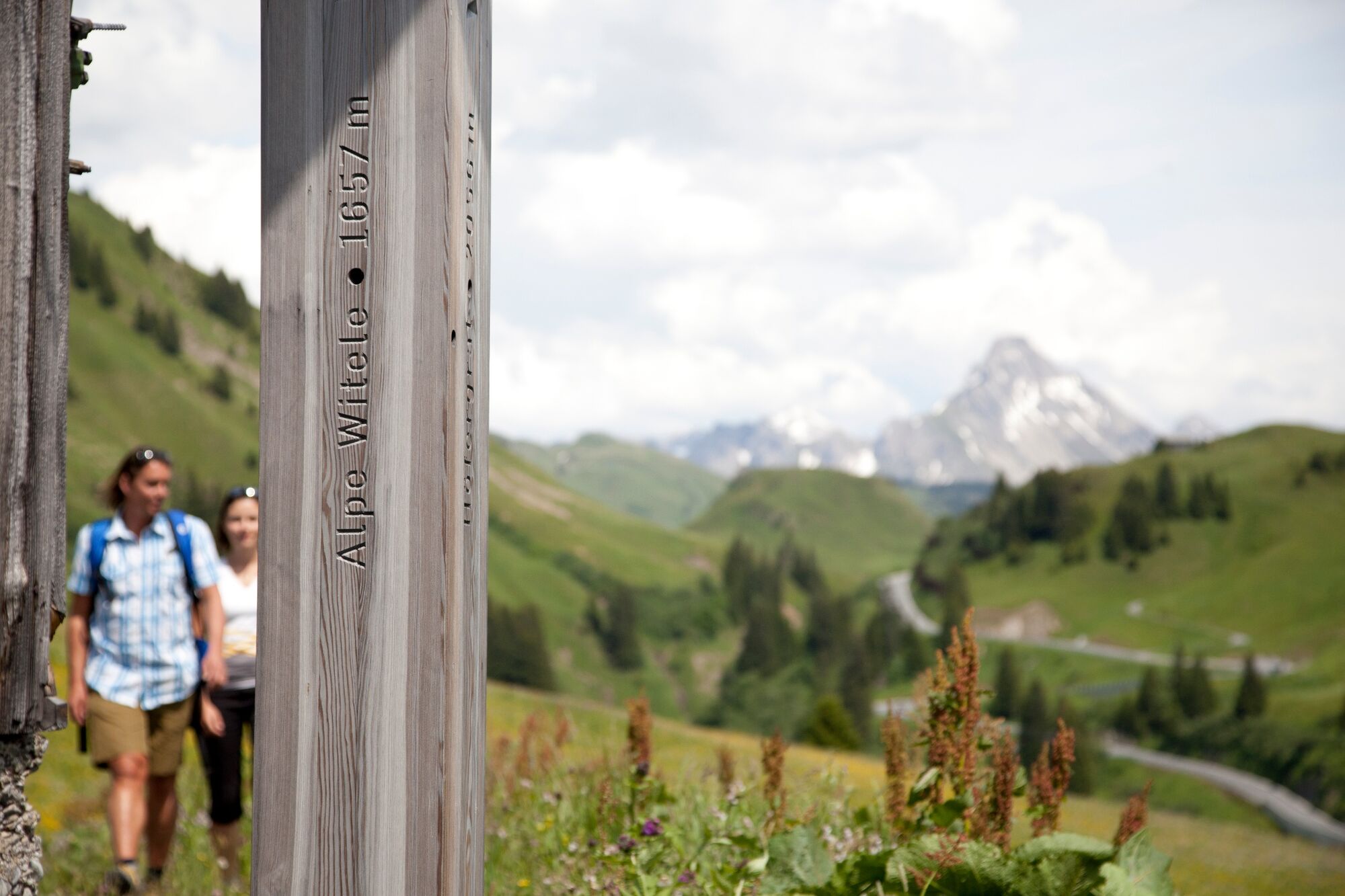
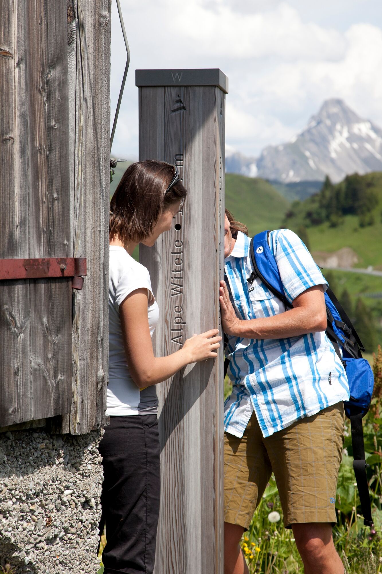
38. Alpe Witele und Alpe Körb
39. Nesslegg
40. Am Joch
41. Schlößle
42. Alpe Höferberg
43. Sulzegg
44. Alpe Alp
45. Oberboden, Schwand, Wald
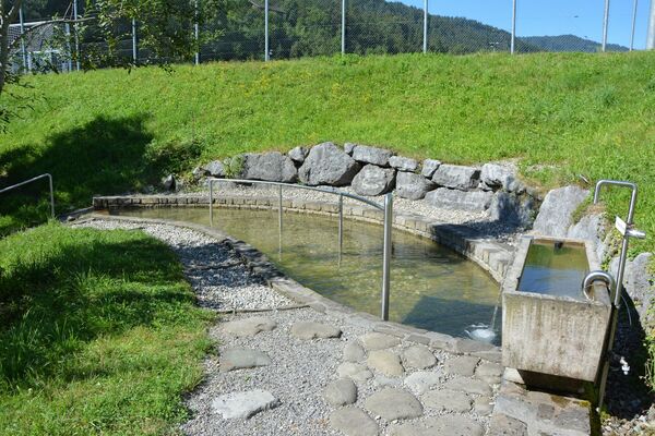
46. Schwefelquelle
47. Mariä Verkündigung
48. Unsere liebe Frau Mariä
49. Heimboden
50. Alpe Felle
51. Gletschermühle
52. Älpele, Älpeles Berg
53. Alpmuseum uf m Tannberg
54. Heimat uf m Büel
55. Körbersee
56. Uf m Aflat
57. Auenfeld
- Directions
-
Stations.
01. Altes Gericht
02. Pfarrkirche St. Nikolaus
03. Museum Huber Hus
04. Schwabenkinder
05. Schlössle Lech
06. Gaisbühelmähder
07. Gaisbühel-Alpe
08. Torfstich am Geisbühel
09. Wilder Schnittlauch
10. Auenfeldsattel
11. Karbühel - Aus den Flammen klang...
12. Schöneberg Heimat
13. Bodenalpe
14. Bürstegg
15. St. Martin zu Bürstegg
16. Leben auf Bürstegg
17. "Hübscha Mâ, weha Mâ, nöma hüatachâ"
18. Wang - Hus und Schindelstraße
19. Steiniger Bühel
20. Gelber Enzian
21. Schrofenpass
22. Gehren und Lechleiten
23. St. Sebastian
24. Walserhus
25. Walsermuseum
26. Hinterboden
27. Alte Salzstraße
28. Holzbodenalpe
29. Am Tschirggen
30. Gemstelpass
31. Hochkrumbacher Bergmähder
32. Krumbacher Wasaried
33. S'Kuchele
34. St. Jakobus am Simmel
35. Am Simmel
36. Körberkreuz
37. Kalbelesee
38. Alpe Witele und Alpe Körb
39. Nesslegg
40. Am Joch
41. Schlößle
42. Alpe Höferberg
43. Sulzegg
44. Alpe Alp
45. Oberboden, Schwand, Wald
46. Schwefelquelle
47. Mariä Verkündigung
48. Unsere liebe Frau Mariä
49. Heimboden
50. Alpe Felle
51. Gletschermühle
52. Älpele, Älpeles Berg
53. Alpmuseum uf m Tannberg
54. Heimat uf m Büel
55. Körbersee
56. Uf m Aflat
57. Auenfeld
- Highest point
- 1,943 m
- Endpoint
-
can be freely selected
- Height profile
-

- Equipment
-
This should never be missing on the mountain.
Backpack, First-Aid Set incl. Bladder plaster, telephone with emergency number, cash, drinking bottle, pocket knife, provisions, sun protection in good weather.
- Safety instructions
-
Emergency numbers.
140 - Alpine emergencies throughout Austria
144 - Alpine emergencies in Vorarlberg
112 - Euro emergency call
- Additional information
- Directions
- Public transportation
- Parking
-

-
AuthorThe tour Tannbergweg “On the footsteps of the Walsers at the Tannberg" is used by outdooractive.com provided.