
- Brief description
-
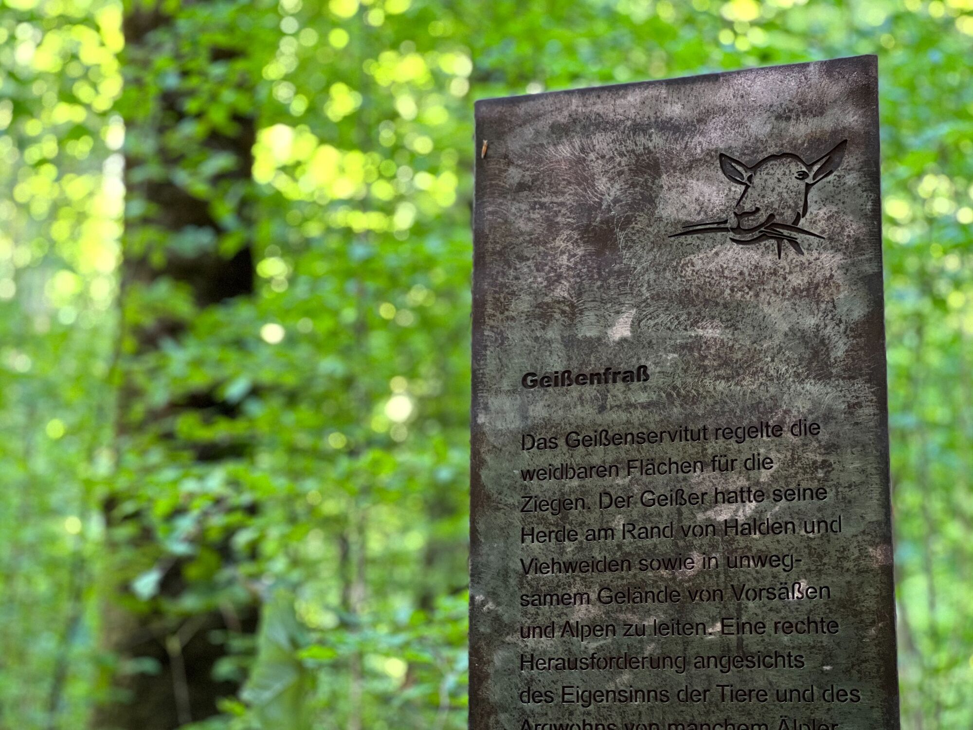
This surfaces along this route vary from gravel to forest and dirt trails. Five stations invite hikers to activate their senses.
- Difficulty
-
easy
- Rating
-
- Starting point
-
Bizau village centre (village hall)
- Route
-
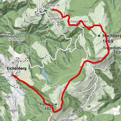
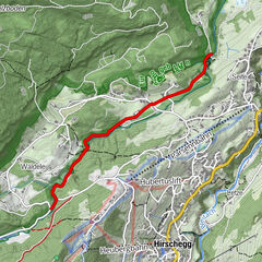
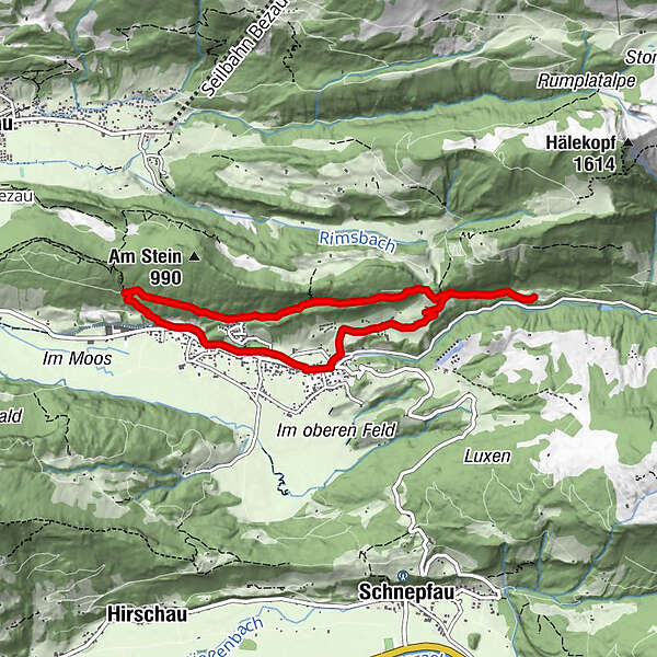
Pfarrkirche BizauBizau0.0 kmHilkat6.2 kmPfarrkirche Bizau7.4 kmBizau7.5 km
- Best season
-
JanFebMarAprMayJunJulAugSepOctNovDec
- Description
-
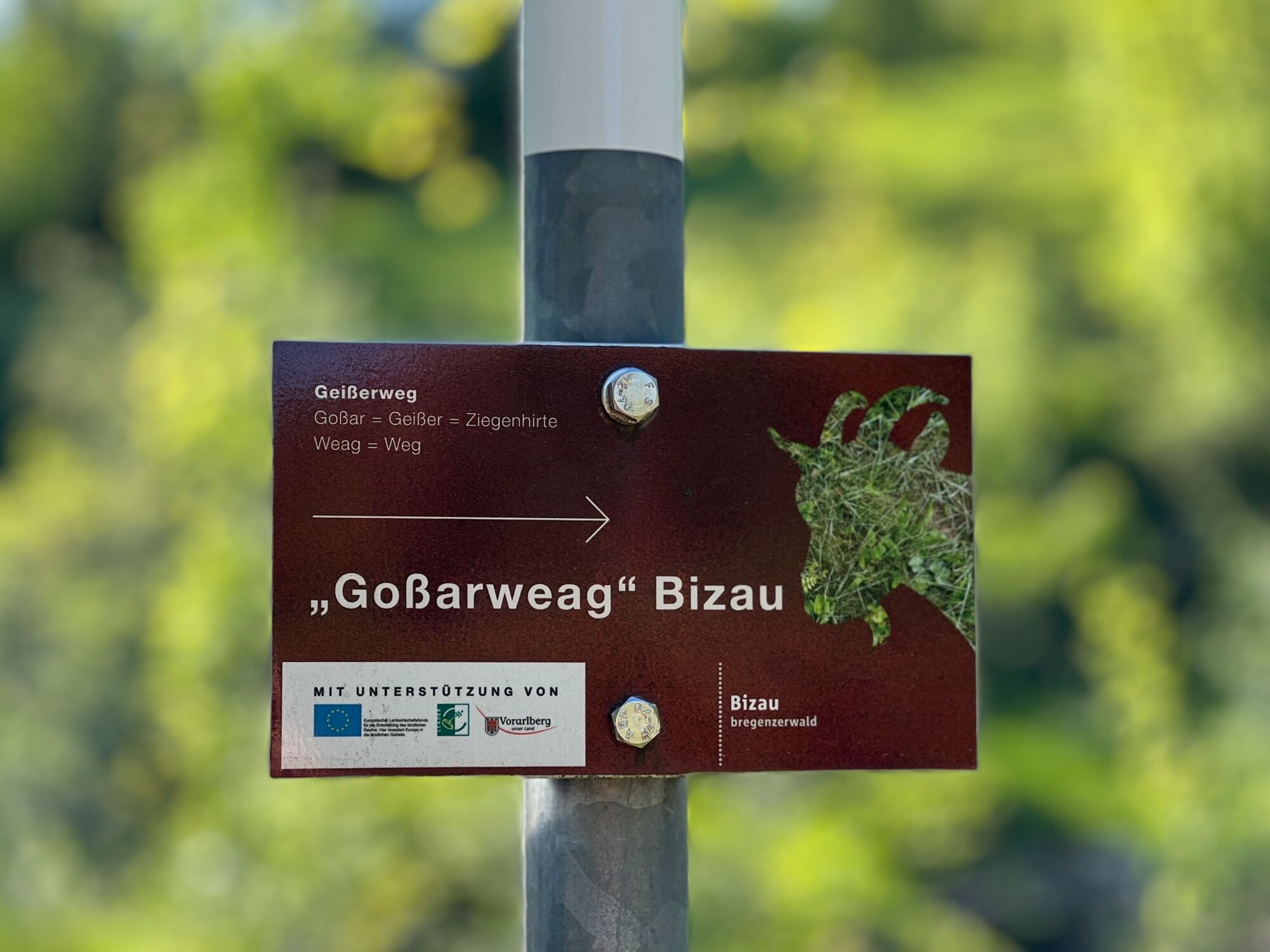
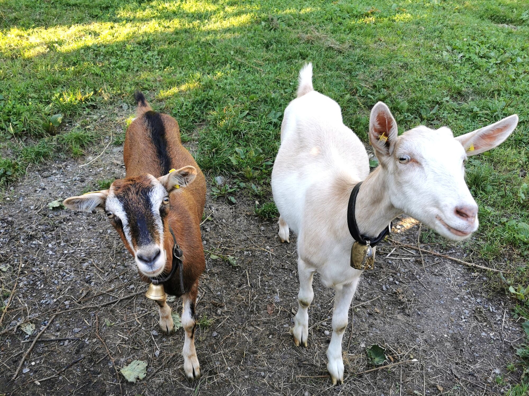
Goat farming was an essential part of everyday living culture in Bezau for many centuries. The hike commemorates this cultural heritage and is not only historically and naturally informative, but also very scenic. Five stations have been set up for children to touch, see, listen and feel as well as puzzle and climb over.
- Directions
-
Bizau village centre (village hall, 681 m) - Unterdorf towards Sättele - Oberberg - Stein - Hilkat - LangenalpReturn route either via Schönenbacherstraße or back to Bizau via Hilkat
Total hiking time:
Long tour approx. 3 hours Short tour approx. 1 hour - Highest point
- 900 m
- Endpoint
-
Bizau village centre (village hall)
- Height profile
-

- Safety instructions
- Tips
-
Tip: Benches invite hikers to take a break and stations invite kids to play on along the Geißerweg (e.g. playground at Oberberg).
- Additional information
-
Chances to stop off for a drink/food:
Taube inn, Hotel Schwanen, Ediths Café - Directions
-
From Lindau:
Pfändertunnel - exit Dornbirn Nord - Bregenzerwald main road (L 200) until BizauFrom Kempten:
Oberstaufen - Ach - Lingenau - Egg - BizauFrom Füssen:
Reutte/Tyrol - Lechtal - Warth - Schröcken - Au - BizauX X
- Public transportation
-
www.vmobil.at
- Parking
-
At the village hall


-

-
AuthorThe tour Bizau | Goßarweag (‘Goat Path’) is used by outdooractive.com provided.


General info
-
Bregenzerwald
2297
-
Bizau
629