
- Brief description
-
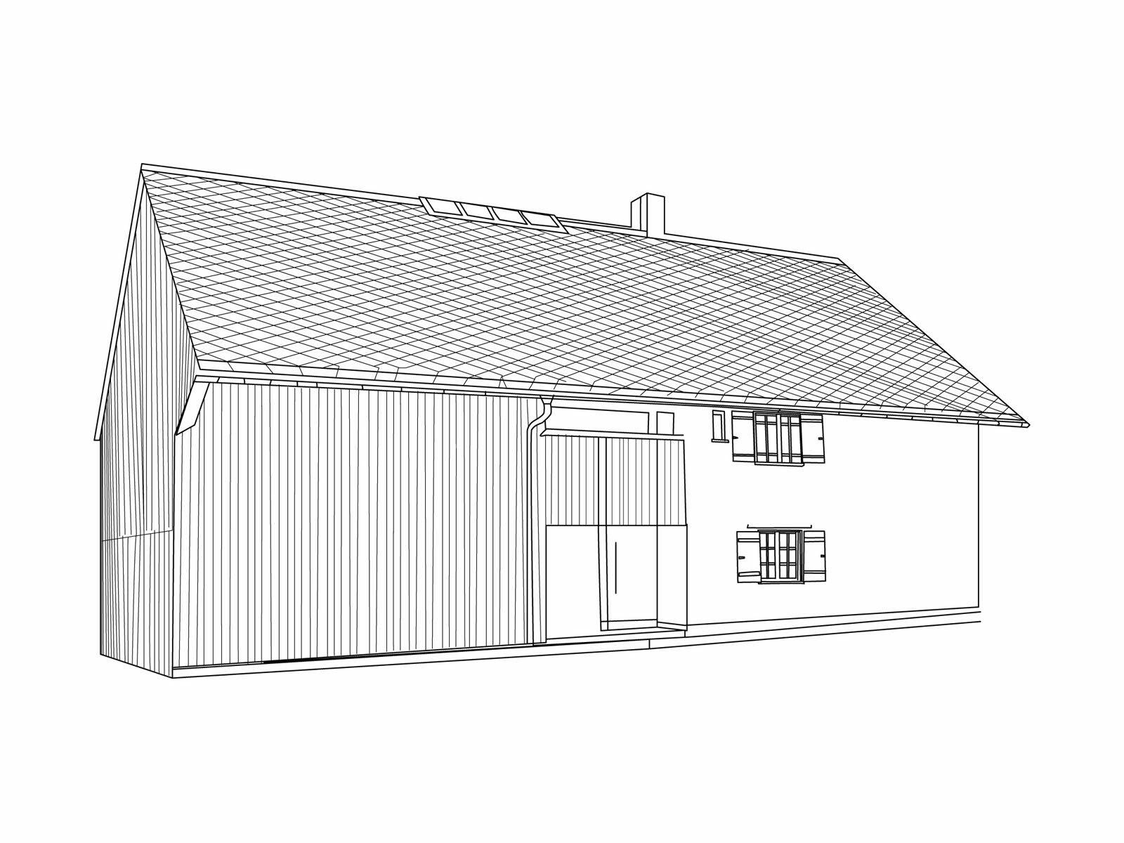
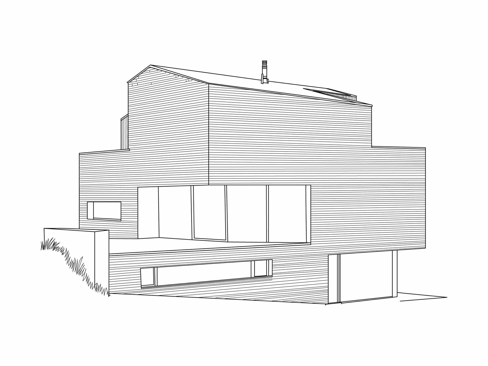
In Mellau, the people live with the Kanisfluh – to the great delight of most of the locals. And to the astonishmentof the guests! The mighty mountain is the home of myths such as the story of the Swedish soldier who got lost and wound up here during the Thirty Years’War. In the part of the village called Übermellen, typical, old Bregenzerwald houses dominate, whereas Oberfeld’s villagescape is determined by contemporary residential buildings. Mellau is the only village in the region not to have its cemetery next to the church.
- Starting point
-
Church square Mellau (village hall, tourist information)
- Route
-
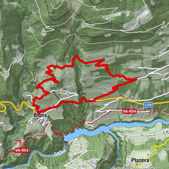
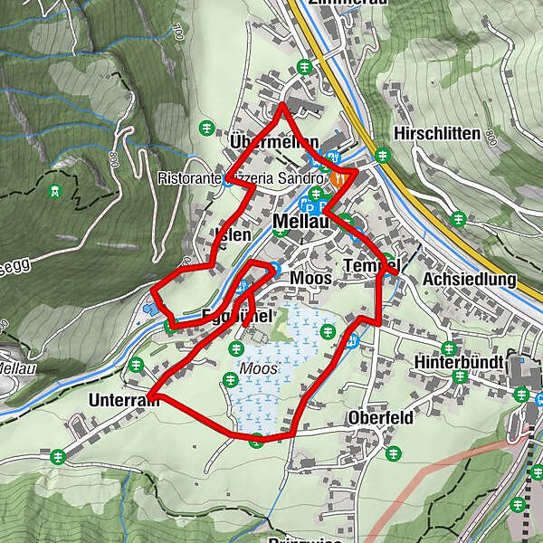
Pfarrkirche Mellau0.0 kmMellau0.0 kmRistorante Pizzeria Sandro0.2 kmÜbermellen0.5 kmIslen0.7 kmMoos1.5 kmEggbühel1.8 kmUnterrain2.0 kmOberfeld2.6 kmTempel2.9 kmAchsiedlung2.9 kmNaze's Hus3.0 kmPlatz3.2 km
- Best season
-
JanFebMarAprMayJunJulAugSepOctNovDec
- Description
-
On each walk, information columns draw attention to a building, to the special features of the cultural landscape, to artisanal or ecological details, to facets of artistic, culinary or touristic works.
Please press the button on the information column.
- Directions
-
From the church square (village hall,tourist information office), you walk down to the “Hotel Engel”. Then go left across the Mellenbach and, past the “Sonne Lifestyle Resort” hotel, continue straight up the street as far as the “Hotel Kreuz”. Here, you turn off to the left and pass by the lovely ensemble of houses belonging to the “Übermellen” plot of land. At the fountain, you once again turn off to the left and, at the next crossroads, turn rightand continue as far as the swimming pool. After the bridge spanning the Mellenbach, you walk downhill to the left of the stream. At the striking fire station, you cross the car park and hike uphill on the right-handside of the road (detour to the cemetery). In front of the “Haus Fröwis”, a gravel path turns off to the left (private road). Follow this path for a magnificent viewof the Hirschberg, Diedamskopf and the Kanisfluh on the “Oberfeld” plot of land. After the first house, turn left again (beforethe small stream) and walk downhill. At “Rosi’s Werkstätte”, keep to the left at the wayside cross, and this brings you back to the centre of Mellau.
- Highest point
- 714 m
- Endpoint
-
Church square Mellau (village hall, tourist information)
- Height profile
-

- Equipment
-
We recommend hiking boots with a treaded sole, since some of the walk off the beaten track of the village roads is on hiking paths.
- Tips
-
Furthermore, a book on the subject containing the background histories to the way of life in the Bregenzerwald is available.
- Parking
-
Parking at the town hall


- Author
-
The tour Umgang Mellau is used by outdooractive.com provided.


General info
-
St. Gallen - Bodensee
2067
-
Biosphärenpark Großes Walsertal
2011
-
Mellau
639