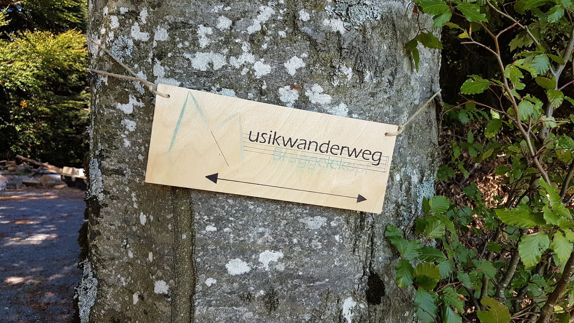
Alberschwende | musical hiking trail at the Brüggelekopf


- Brief description
-
This hiking trail is musical. Hikers can listen to songs and compositions from the Bregenzerwald’s traditional repertoire at 10 stations.
- Difficulty
-
easy
- Rating
-
- Starting point
-
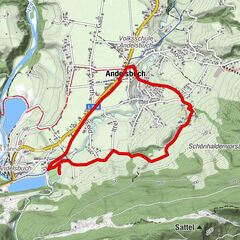
Entry into the circular route is possible from all directions, for example Alberschwende Brüggelekopf
- Route
-
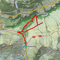
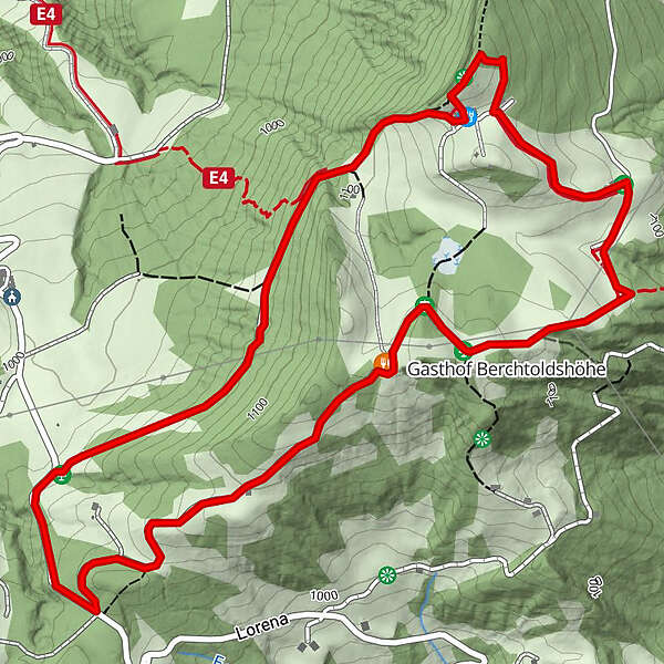
Brüggelekopf (1,182 m)0.2 kmAlpengasthof Brüggele0.3 kmGasthof Berchtoldshöhe2.7 kmAlpengasthof Brüggele3.9 kmBrüggelekopf (1,182 m)3.9 km
- Best season
-
JanFebMarAprMayJunJulAugSepOctNovDec
- Description
-
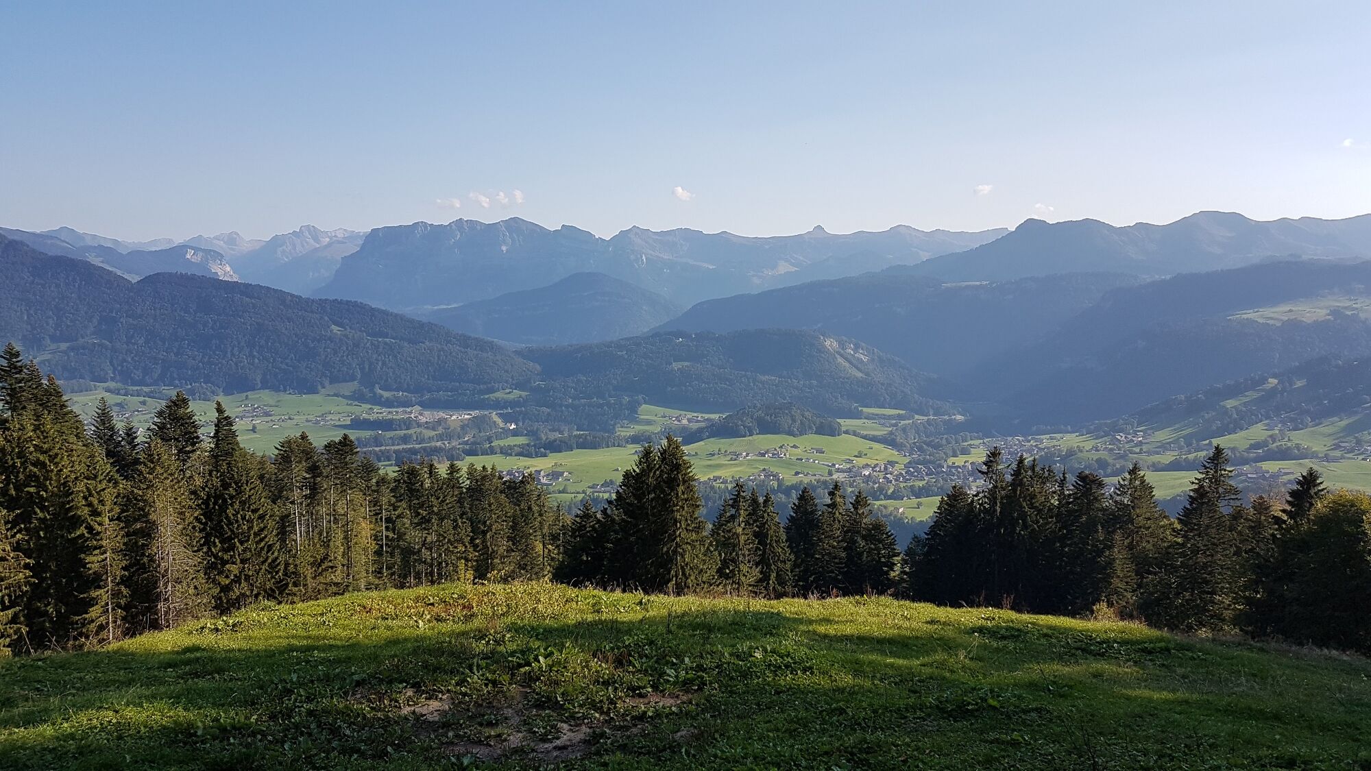
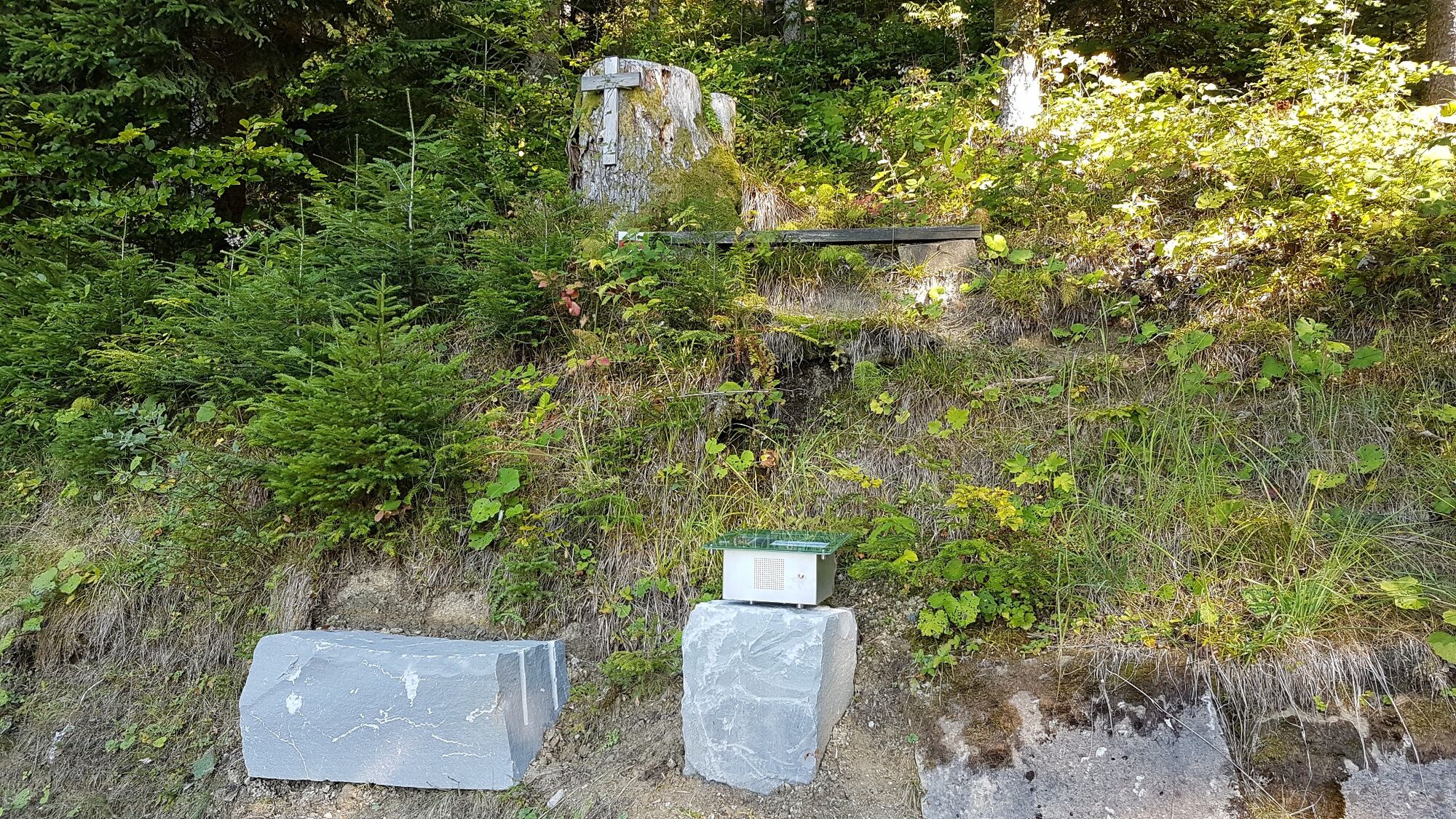
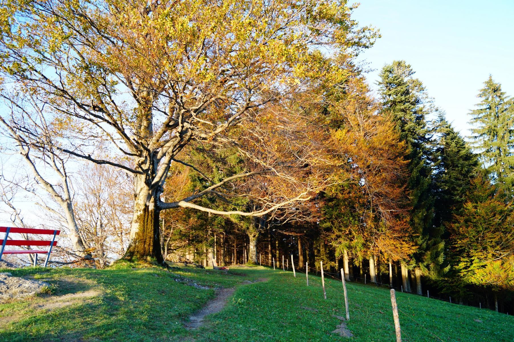
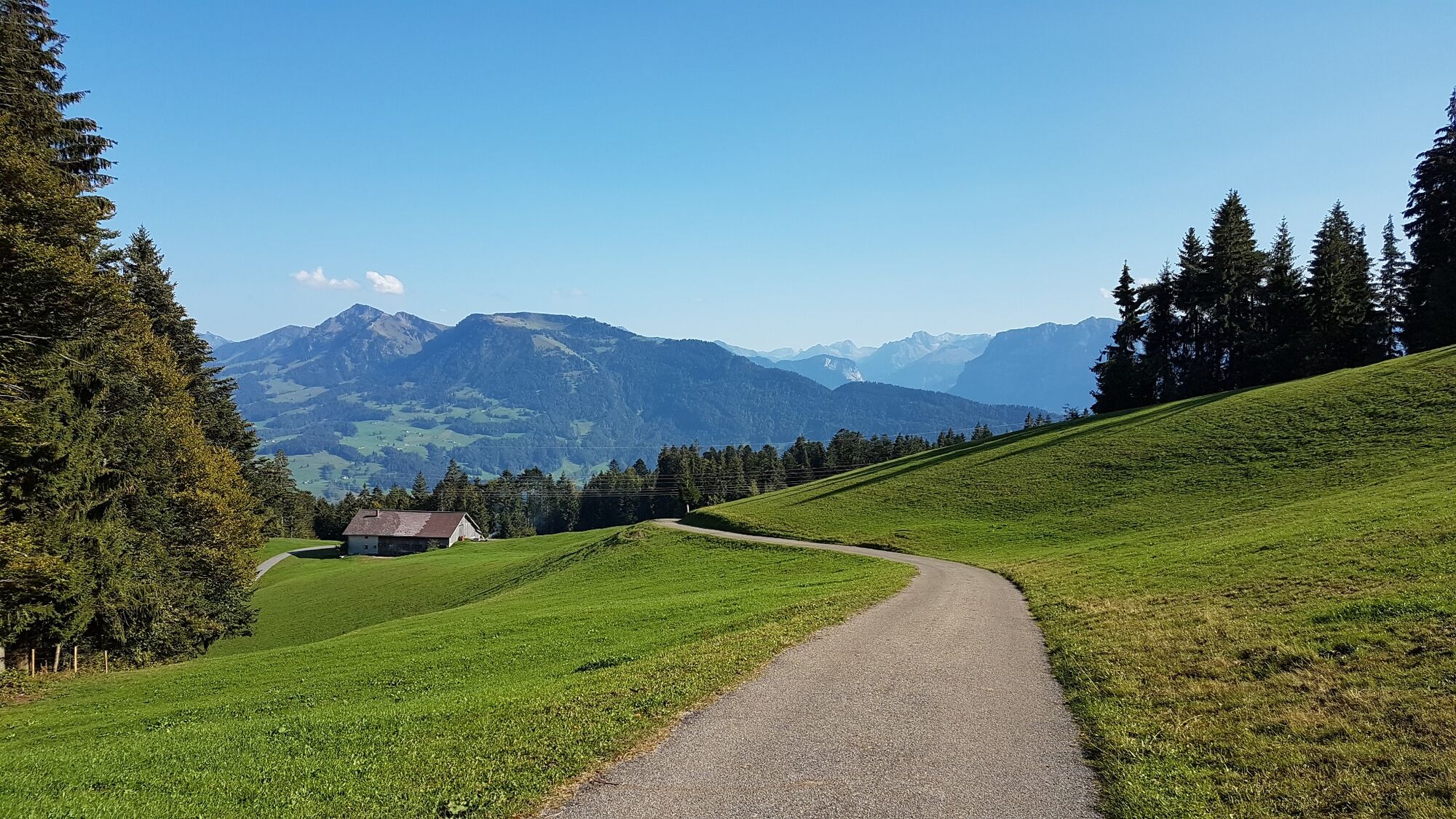
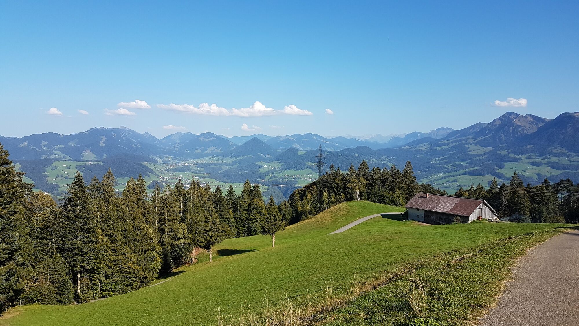
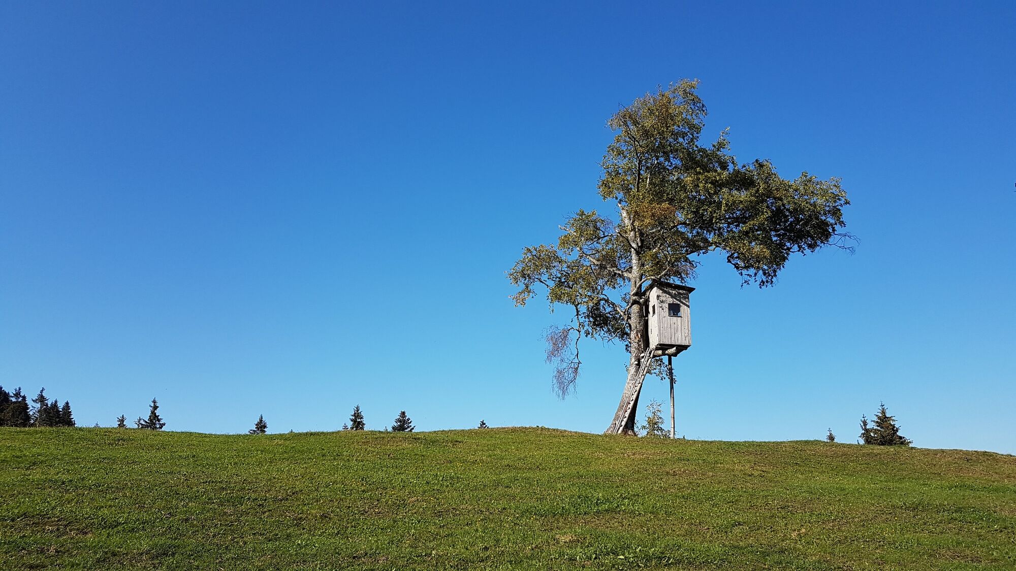
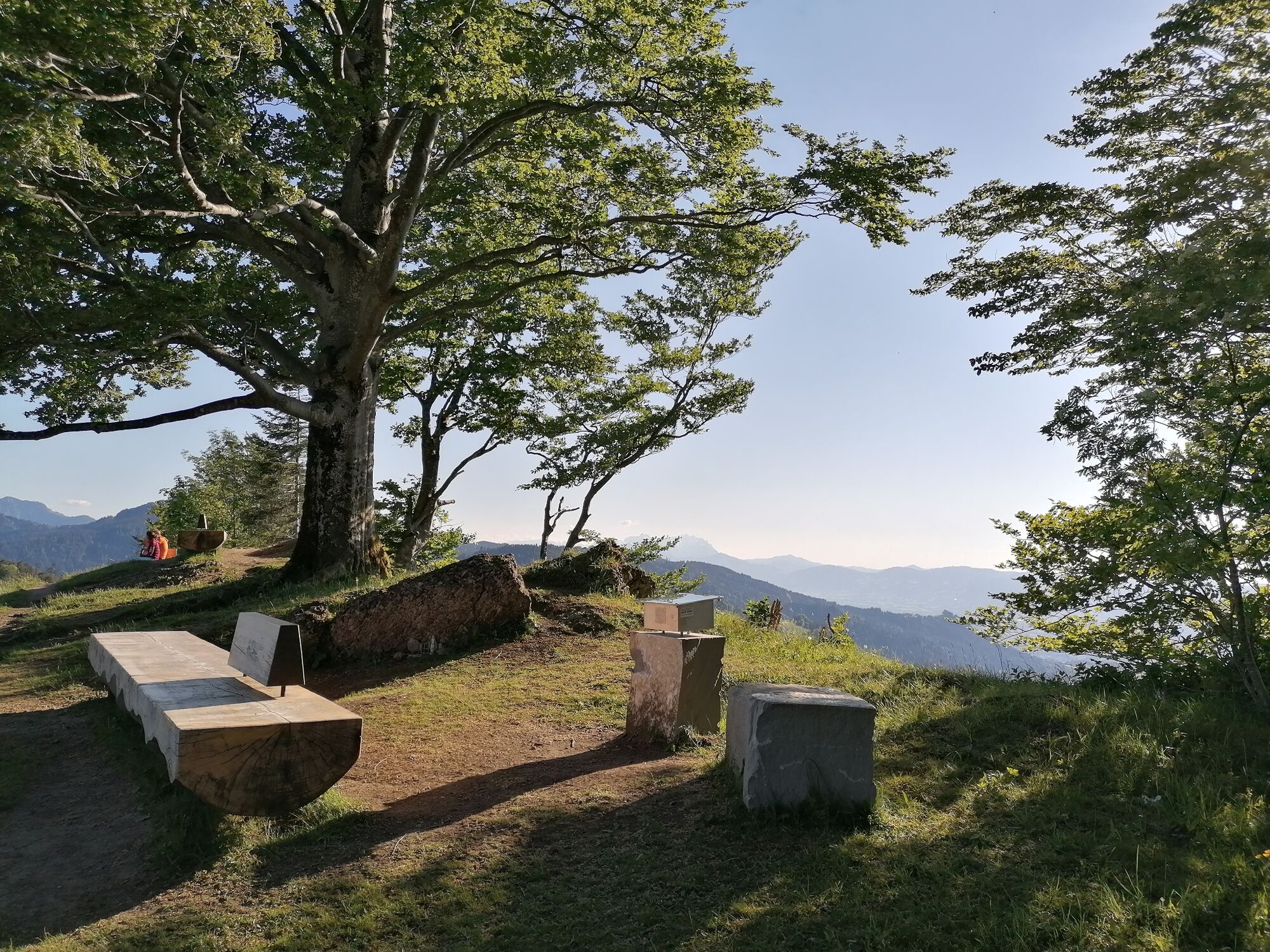
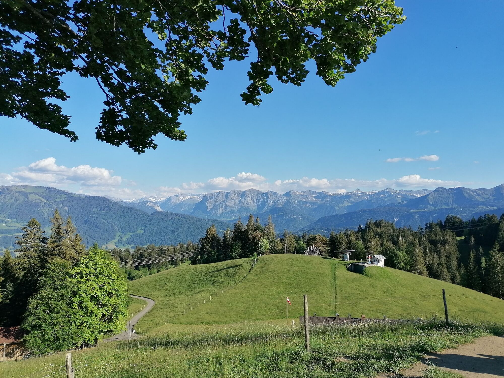
The entertaining circular trail at the Brüggelekopf, Alberschwende’s local mountain, is a delight. It’s not only the meadows, forests and beautiful views that are a joy on this trail. The mood is lifted by songs and compositions presented by choirs and music associations that are based in Alberschwende and the surrounding areas. The stations consist of a stone, which also serves as a seat. More information about each piece is presented on panels. These also list the lyrics to help visitors sing along.
- Directions
-
The music hiking trail on the Brüggelekopf is a hiking route with ten musically designed stations. A song rehearsed by a choir or a music club from Alberschwende, Egg or Schwarzenberg will be heard at each of these stations. The stations consist of a stone, which also serves as a seat, and has a plaque on it that provides important information about the song and band in question.
Entry into the trail at the Brüggelekopf:
In Alberschwende Tannen you follow the supply road to Alberschwende's local mountain. The first station "o Hoamatle" is located directly at the Alpengasthof on the way to the summit, and the next station is at the summit cross. Now follow the path back down to the Alpengasthof and the signpost for "Lorenapass/Bödele". On the Lorena Pass, turn left and follow the signs to the Berchtoldshöhe back to the Brüggelekopf. - Highest point
- 1,173 m
- Endpoint
-
Der Rundweg kann in beide Richtungen begangen werden
- Height profile
-

- Equipment
-
- waterproof footwear
- good outdoor clothing worn in layers
- first aid kit
- sunglasses and sun cream
- take a snack and water with you - Safety instructions
-
EMERGENCY CONTACTS
140 Alpine emergency Austria
144 Alpine emergency Vorarlberg
112 Euro-emergency callwww.vorarlberg.travel/sicherheitstipps

-

-
AuthorThe tour Alberschwende | musical hiking trail at the Brüggelekopf is used by outdooractive.com provided.


General info
-
St. Gallen - Bodensee
2066
-
Bregenzerwald
2297
-
Alberschwende
577